A taste of home
How a fisherman's breakfast became South Carolina's official dish
Image: Nico Smit
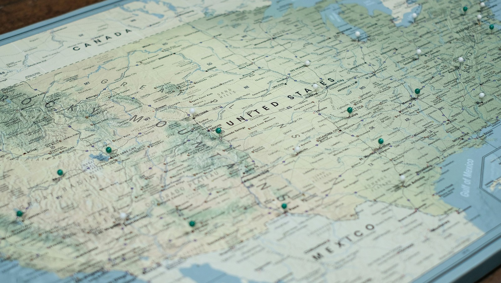
Every state has its pride, and sometimes that pride comes on a plate. From Baltimore's legendary crab cakes—held together with just enough filler and seasoned with Old Bay—to Boston's creamy clam chowder, unchanged since 1826, America's most iconic state foods tell stories of heritage, geography, and good old-fashioned comfort . Let's take a delicious road trip through 10 states and discover where the locals go to get the real deal!
1
Maryland: Crab Cakes
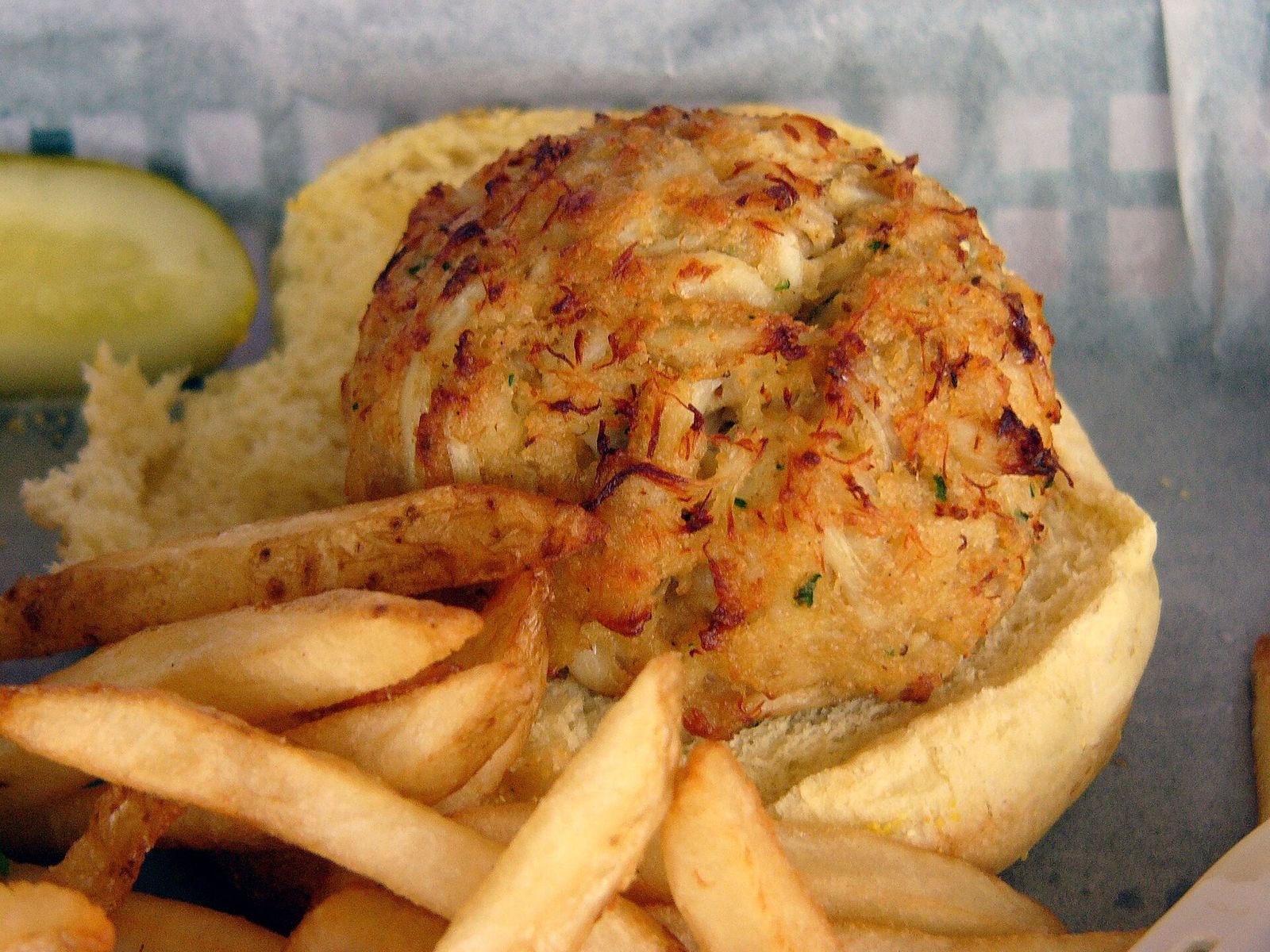
Maryland designated the blue crab as its official state crustacean . The Chesapeake Bay is by now synonymous with blue crabs, and these legendary cakes are a point of pride for the state. A proper Maryland crab cake should contain lump meat held together with just enough filler to keep it from falling apart, seasoned with Old Bay.
Head to Faidley's Seafood in Baltimore's Lexington Market, where they've been serving them since 1886.
2
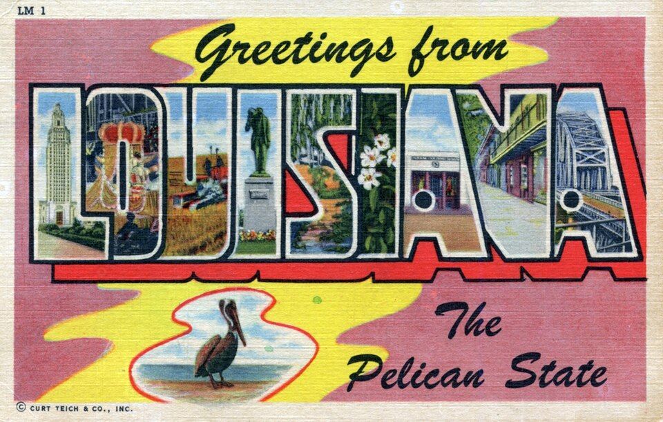
Louisiana: Gumbo
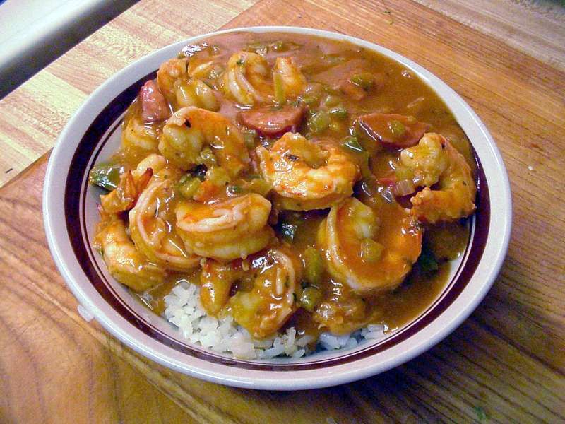
Gumbo is widely recognized as one of Louisiana’s emblematic dishes, and for good reason. This rich, soul-warming stew was born in the melting pot of 18th-century Louisiana, where enslaved Africans, French colonists, and Native American communities lived in close proximity and blended their culinary traditions into one. Whether you prefer it with chicken and sausage or loaded with seafood, the dark roux is non-negotiable.
For the authentic experience, locals head to Dooky Chase's Restaurant in New Orleans, where Leah Chase served her legendary gumbo for decades.
3
South Carolina: Shrimp and Grits
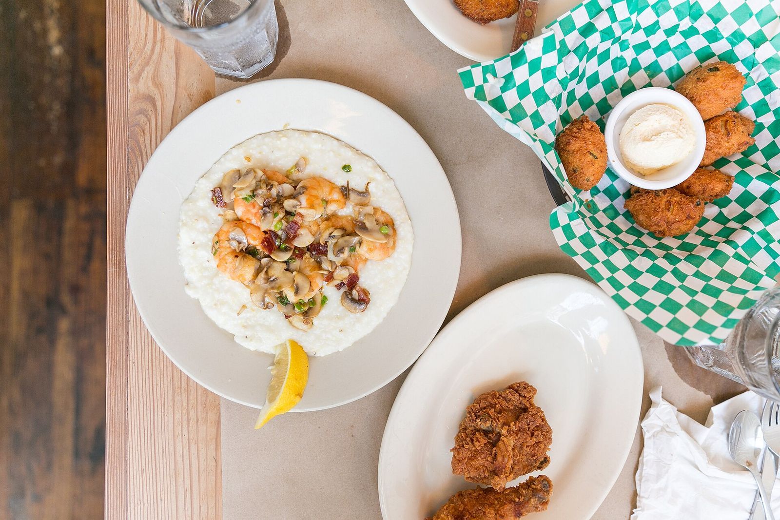
What started as a humble breakfast for Lowcountry fishermen has become South Carolina's staple dish. Creamy stone-ground grits topped with plump shrimp in a savory sauce: it's simple Southern comfort elevated to an art form.
Charleston's Hominy Grill perfected the combination throughout 24 years before closing in 2019, but the torch has been passed to spots like Slightly North of Broad, where locals still gather for their take on this classic.
4
New Mexico: Chile
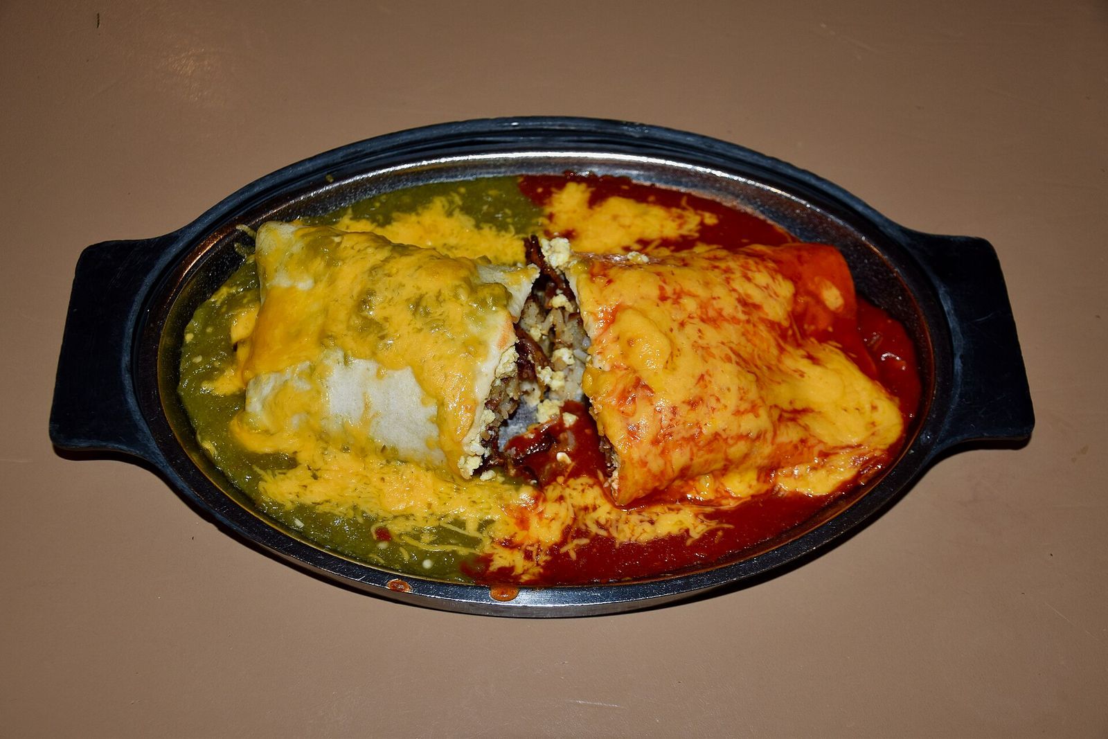
New Mexico is so serious about chile that it's both the official state vegetable and the official state question: "Red or green?" refers to which chile sauce you want on everything from enchiladas to burgers.
The Shed in Santa Fe has been serving traditional New Mexican cuisine since 1953, and their red and green chile sauces are legendary.
5
Texas: Chili con carne
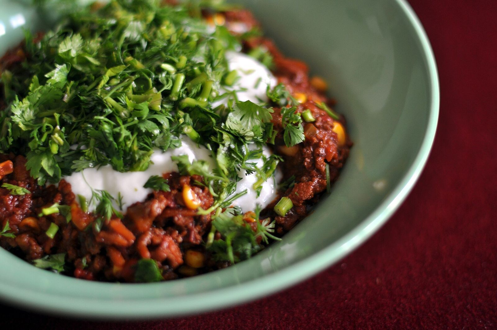
Texas doesn't mess around when it comes to chili; there are no beans allowed in the official state dish. Dating back to the 19th century, Texas chili is believed to have originated among cattle drivers and frontier cooks along the famous chili trail , who relied on dried chilies and tough cuts of meat to fuel long drives. Real Texas chili is all about the meat, the chilies, and the spices, slow-cooked until everything melds into something magical.
Austin's Texas Chili Parlor has been dishing it out since 1976, with regulars debating the merits of X-fire versus their milder options. The walls covered in license plates and the no-nonsense attitude make it quintessentially Texan.
6
Massachusetts: Boston Clam Chowder
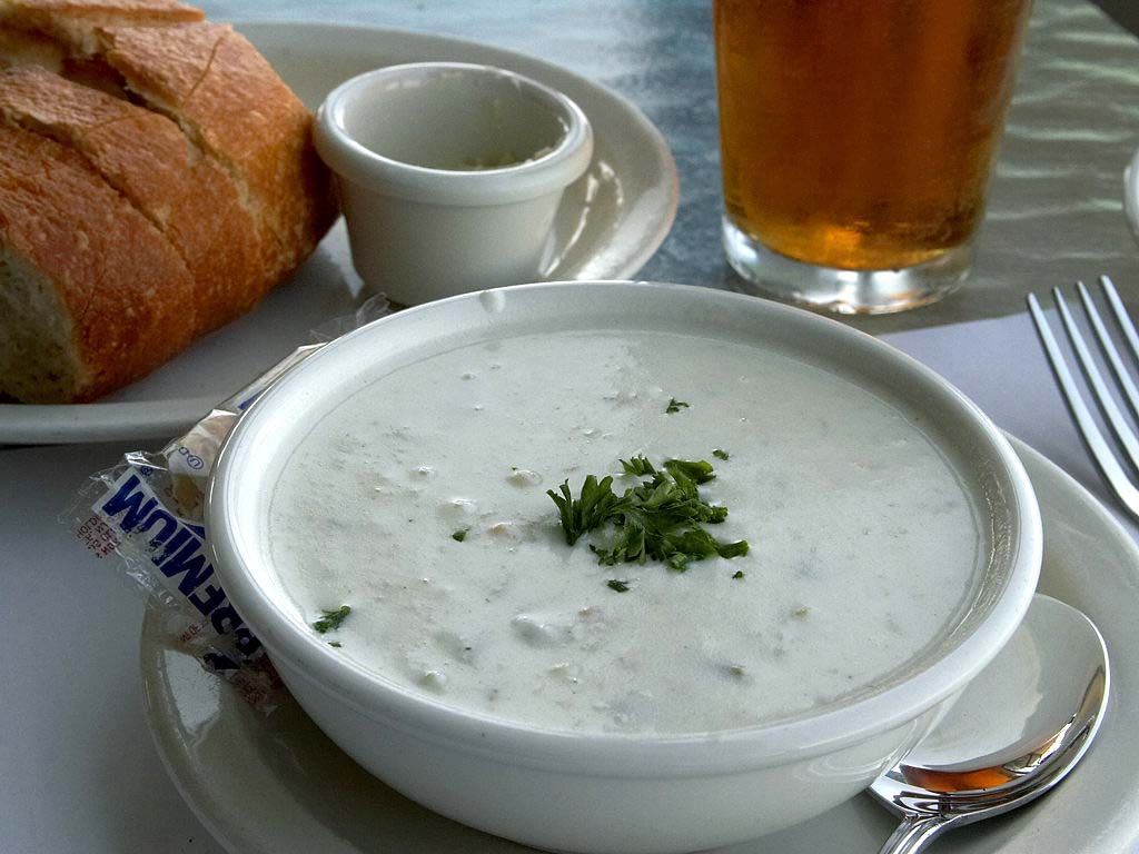
At Boston's Union Oyster House, America's oldest continuously operating restaurant, the clam chowder recipe hasn't changed much since 1826 , and one spoonful tells you why. While every New England state has its own take on this creamy, thick, clam-and-potato stew—Maine keeps it simple, Rhode Island goes clear-broth, and Connecticut prefers a milky base—Boston's version has become the gold standard, beloved for its richness and depth.
The debate over who makes it best has fueled friendly regional rivalries for generations — though Legal Sea Foods makes a strong case, having served its chowder at multiple presidential inaugurations.
7
Illinois: Popcorn

Illinois is one of the top popcorn producers in the US—and in 2003, it became the official state snack, thanks to an unlikely group of advocates: a class of elementary school students from Joliet, a Chicago suburb, who made it their class project to lobby lawmakers for the designation . Governor Rod Blagojevich signed the bill into law, and popcorn joined the cardinal and the bluegill as official state symbols.
Garrett Popcorn Shops in Chicago have been making people wait in line since 1949. Their "Chicago Mix" combines buttery caramel corn with sharp cheddar cheese popcorn, and locals know to grab a bag whenever they're downtown.
8
Vermont: Apple Pie
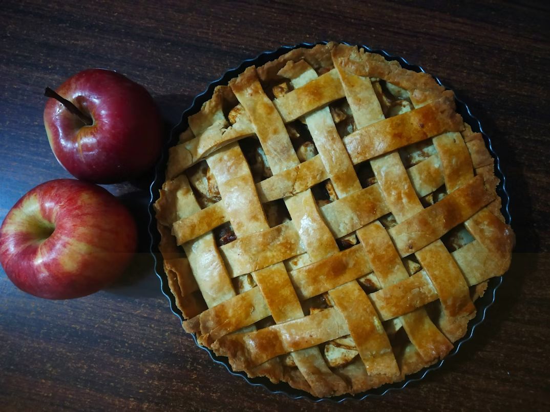
Vermont made apple pie its official state pie in 1999, celebrating the state's apple orchards and New England baking traditions. A proper Vermont apple pie should feature tart local apples, a flaky crust, and maybe a slice of cheddar on the side .
The Blue Benn Diner in Bennington serves classic homemade apple pie that locals have been driving out of their way for since 1948.
9
Oklahoma: Fried Okra
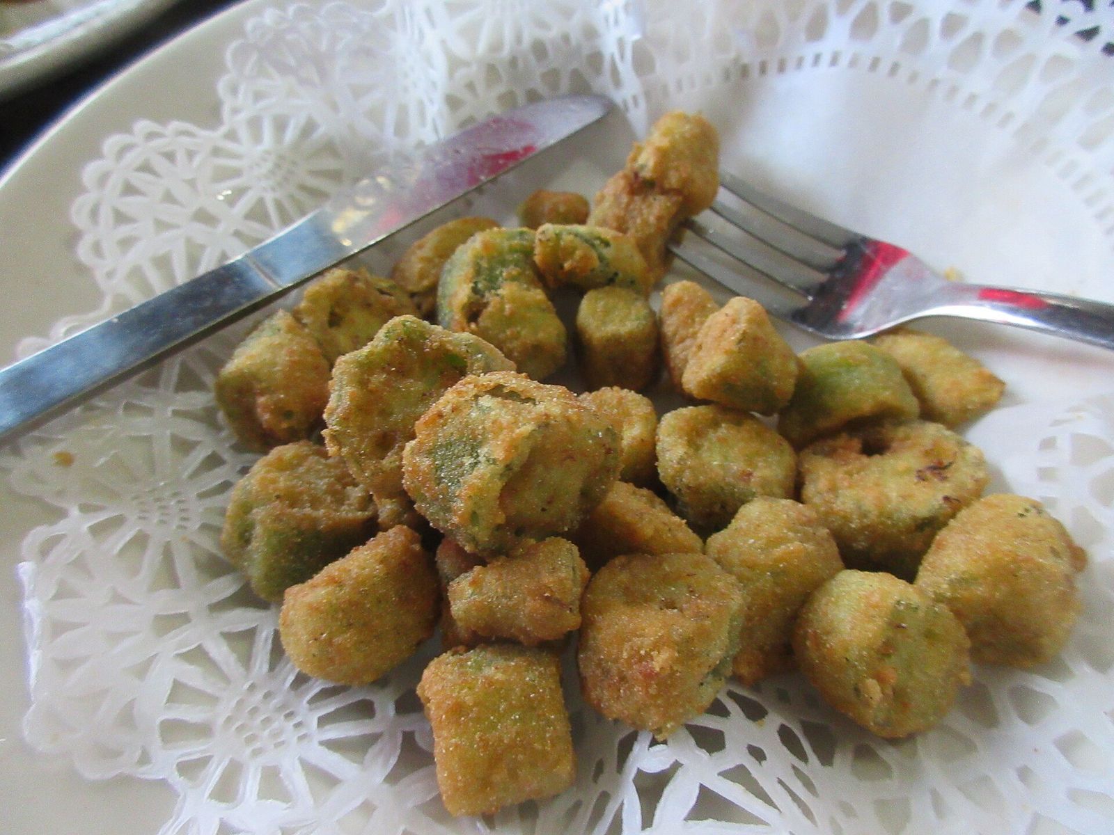
Few vegetables are as deeply tied to Oklahoma's identity as okra. It was brought to the American South by enslaved Africans, who carried the seeds with them and wove the crop into the region's culinary fabric. Over generations, it became a cornerstone of Southern cooking.
Coated in cornmeal and fried to golden, crispy perfection, it's a staple at family gatherings and church potlucks across the state . Eischen's Bar in Okarche, Oklahoma's oldest bar, serves fried okra alongside their famous fried chicken.
10
Rhode Island: Clam Cakes and Chowder
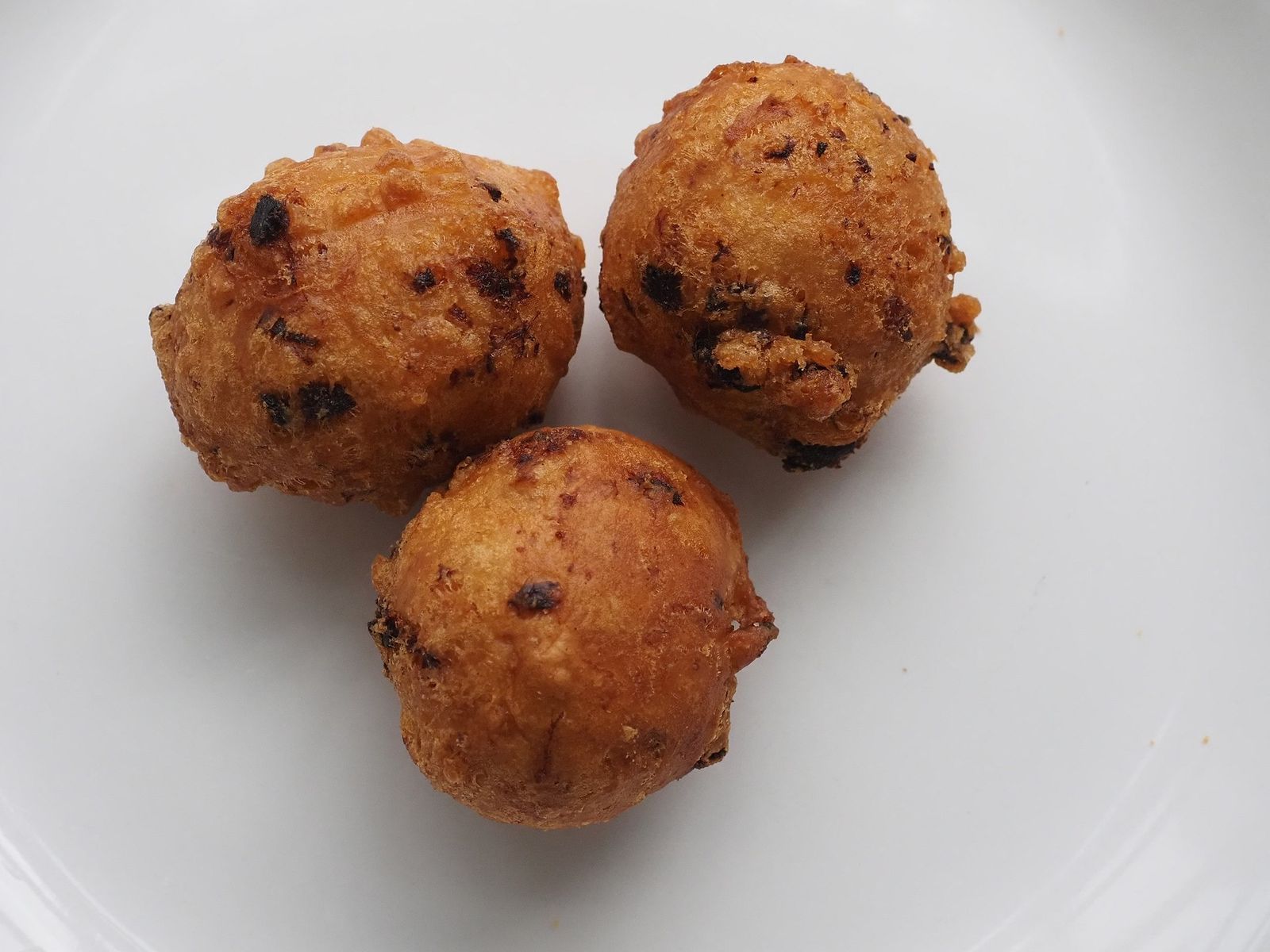
One of Rhode Island's favorite appetizers is actually a dynamic duo: clam cakes (fried dough balls studded with chopped clams) paired with their distinctive clear clam chowder . Unlike Massachusetts' creamy version, Rhode Island keeps it brothy, more like a seafood soup without dairy (like the Boston-style one) or tomato (like the Manhattan-style one).
Iggy's Doughboys and Chowder House in Narragansett has been a beachside institution since 1924. Order at the window, grab a picnic table, and watch the ocean while you eat.