Geography Geography 6 min read

Where nations merge

These American border towns are nothing like what you'd expect
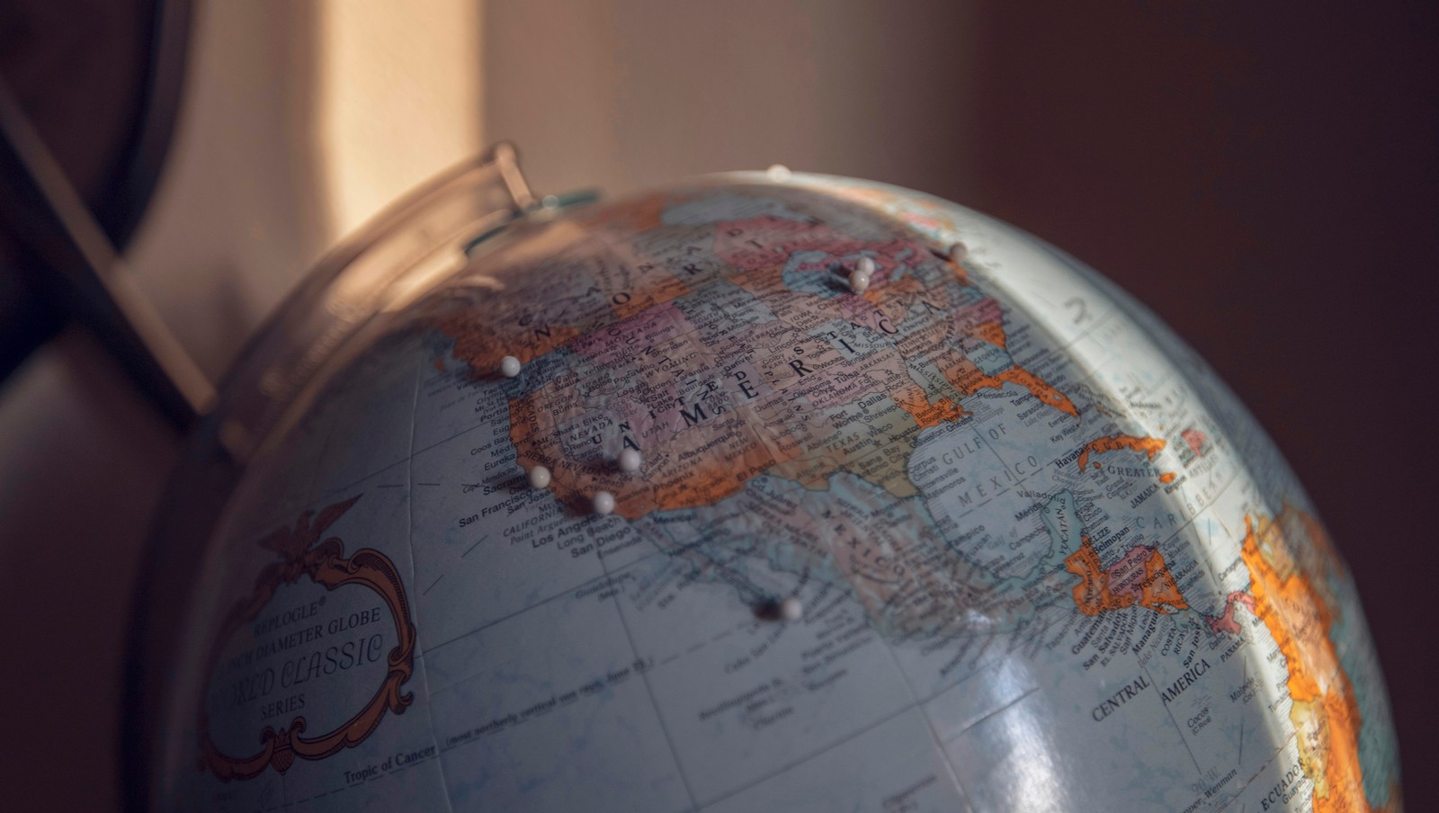
Image: Nicole Geri

America's border towns offer a unique glimpse into where two nations meet and merge. These communities blend languages, cuisines, traditions, and daily life in ways that create something entirely their own. These towns remind us that borders on maps don't always divide people; sometimes they bring them together in the most interesting ways.

1
Buffalo, New York / Niagara Falls, Ontario
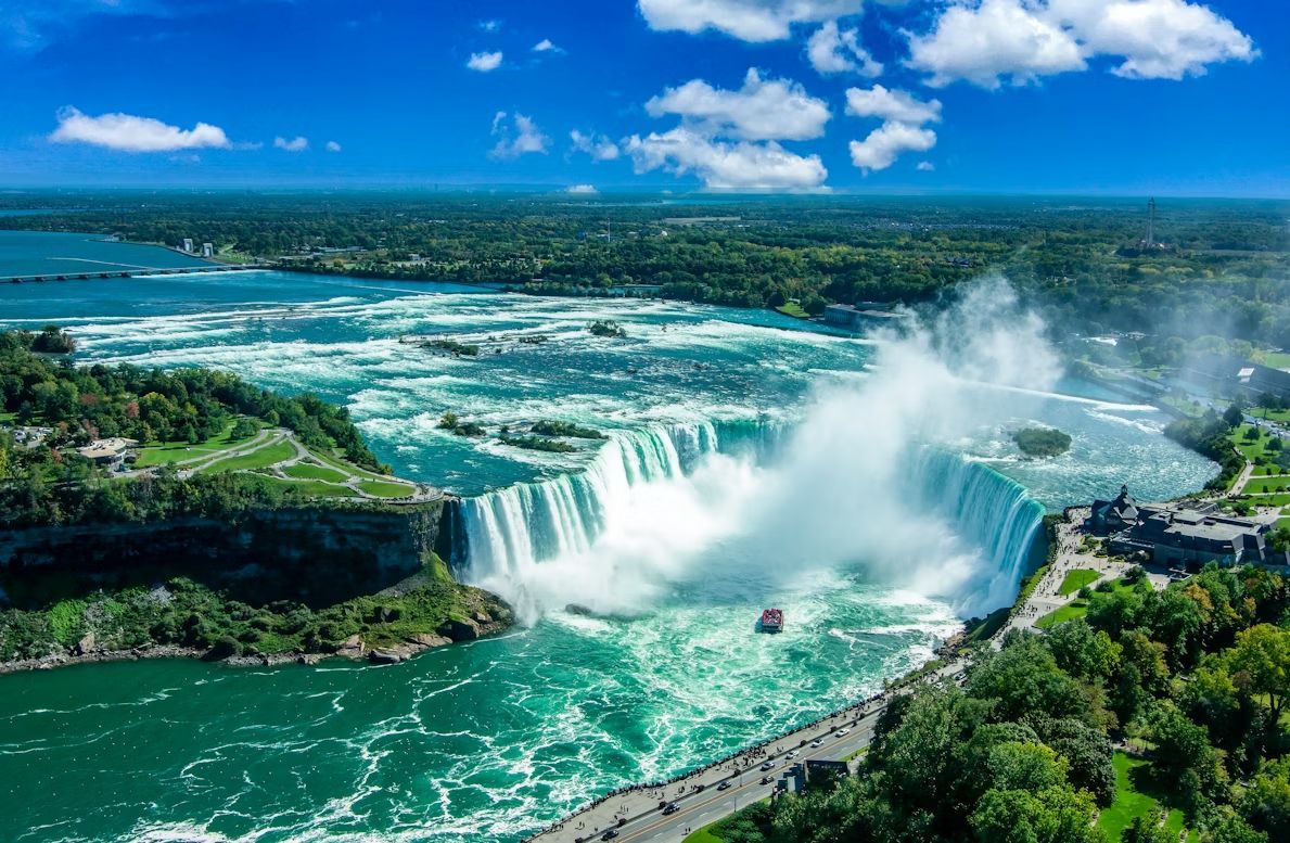
Image: Stephen Crane

Here, one of America's most famous natural wonders creates a binational tourist destination that draws millions annually . The Peace Bridge connects the cities, facilitating a relationship that goes far deeper than tourism. Buffalonians regularly cross for theatre performances at the Shaw Festival, cheaper prescription medications, and a lower legal drinking age.

The cultural blending also shows up during matchups between the Buffalo Sabres and the Toronto Maple Leafs. While the rivalry is intense, it reflects a shared Great Lakes identity shaped by decades of cross-border movement. Canadian shoppers have long made Buffalo malls a destination, while Americans enjoy Windsor-style pizza and Tim Hortons coffee on the Canadian side. The accent in this region reflects generations of cross-border mixing and shared Great Lakes culture.

2
Detroit, Michigan / Windsor, Ontario
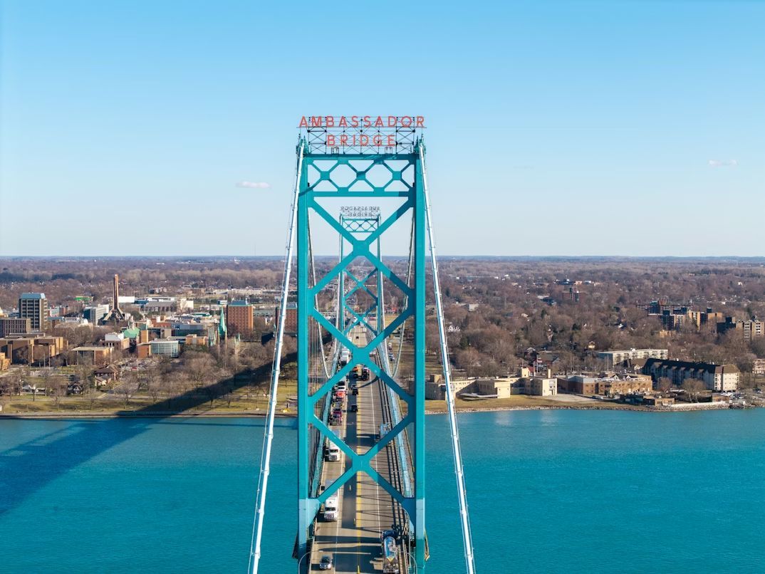
Image: Nils Huenerfuerst

Detroit and Windsor form one of the busiest international crossings in North America, connected by both the Ambassador Bridge and the Detroit-Windsor Tunnel. Over 8,000 trucks cross daily, carrying a quarter of all trade between the U.S. and Canada. But beyond commerce, these cities share deep cultural ties : Detroiters pop over to Windsor for Caesar cocktails and Canadian beer, while Windsor residents cross for Red Wings games and shopping at Somerset Collection.

During Prohibition, Windsor became Detroit's not-so-secret supplier, creating smuggling routes and speakeasies that became Motor City legend. Today, you can stand on the Detroit riverfront and see Canada closer than many American suburbs.

3
Laredo, Texas / Nuevo Laredo, Tamaulipas
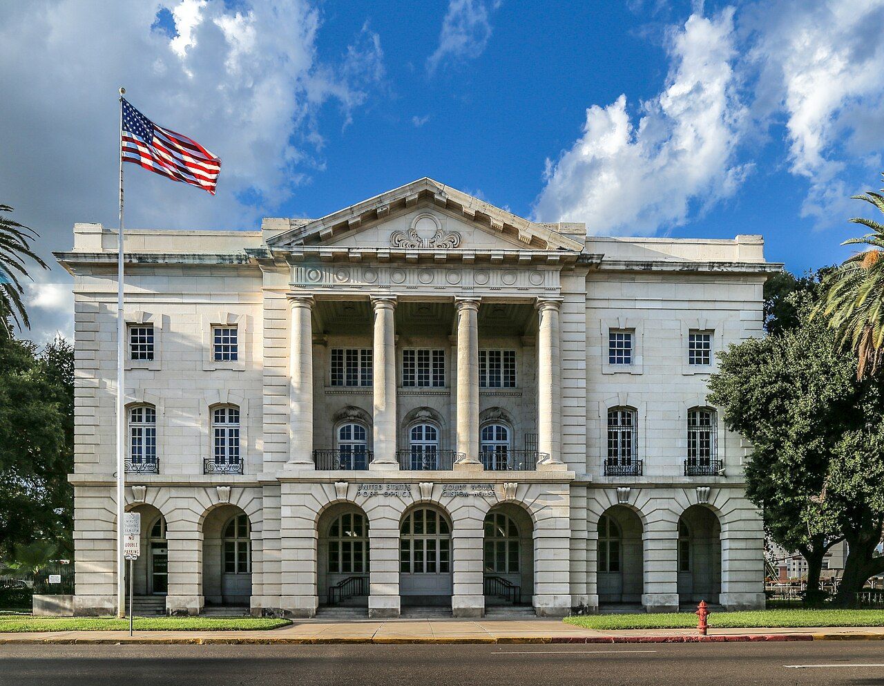
Image: JoshDavid Photos

Laredo is one of the oldest crossing points on the U.S.-Mexico border, founded in 1755. The city's Washington's Birthday celebration, oddly enough, is one of the largest such celebrations in the country, spanning nearly the entire month of February and including participants from both sides of the border.

The economy here revolves around international trade, with massive amounts of freight crossing daily between the two nations. But beyond commerce, the cultural blend shows up everywhere—in the predominance of bilingual conversations, in restaurants serving cabrito alongside barbecue, and in the way holidays are celebrated with traditions from both countries.

4
Blaine, Washington / Surrey/White Rock, British Columbia
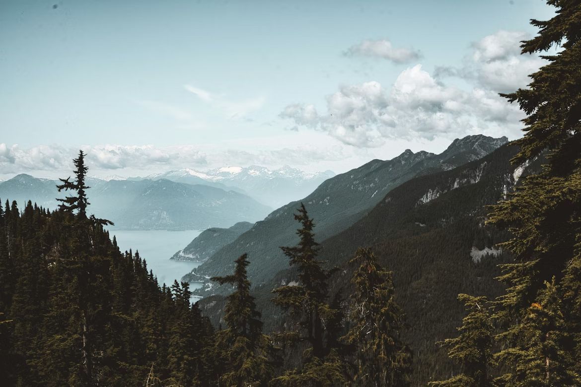
Image: Jess Barnett

Blaine sits at the western end of the U.S.-Canada border, where the line literally runs through Peace Arch Park—a unique binational park where families can picnic with relatives from either country without going through customs. The Peace Arch monument itself straddles the border, inscribed with "Children of a Common Mother" and "Brethren Dwelling Together in Unity."

Residents on both sides share a love of hiking, craft beer, and fish and chips. Blaine residents drive to Surrey for groceries at Canadian supermarkets, while British Columbians come south for gas, milk, and Trader Joe's runs . The Cascadia bioregion identity—encompassing B.C., Washington, and Oregon—often feels more meaningful to locals than national boundaries.

5
Derby Line, Vermont / Stanstead, Quebec
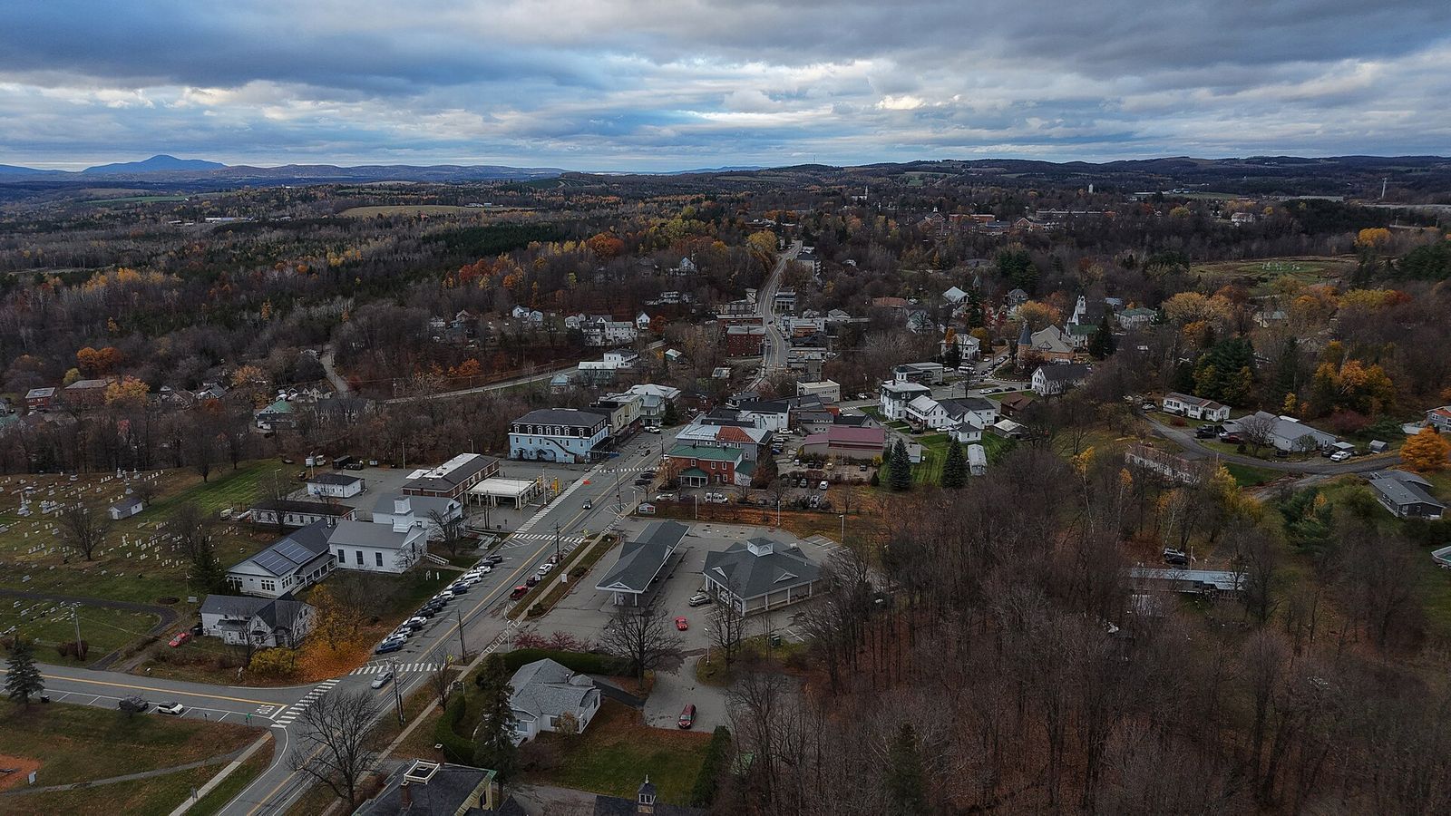
Image: Ascended Dreamer, CC BY 4.0, via Wikimedia Commons

Derby Line and Stanstead share the most uniquely porous border in North America . The Haskell Free Library and Opera House was deliberately built straddling the international boundary in 1904, with the stage in Canada and most seats in the U.S. A black line on the floor marks where one country ends and another begins—no passport required.

Several homes and buildings in town sit directly on the border, with front doors in one country and back doors in another. Before 9/11 and increased border security, locals would casually cross back and forth multiple times daily without much thought. While regulations have tightened, the community identity remains binational.

6
Sault Ste. Marie, Michigan / Sault Ste. Marie, Ontario
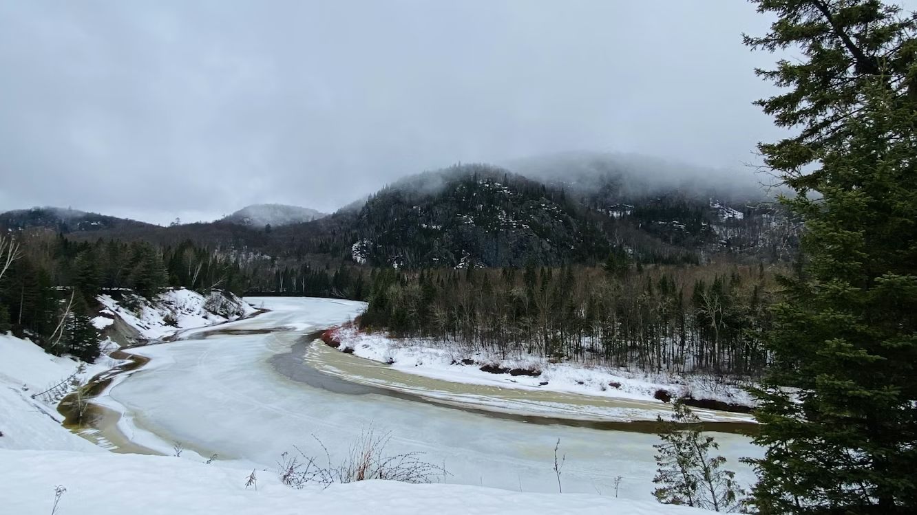
Image: Calvin Lecuyer

The "Twin Saults" are literally the same city split down the middle by the St. Marys River and the International Bridge . Founded as a single French missionary settlement in 1668, the community was divided when the border was formalized after the War of 1812. Today, residents on both sides maintain that they're really one town with an inconvenient international boundary running through it.

The Soo Locks on the American side and the Canadian locks create a shared identity around Great Lakes shipping—watching massive freighters navigate the locks is a regional pastime. Hockey culture dominates both sides, with junior leagues and recreational teams mixing Canadian and American players. Families cross the bridge for shopping, dining, and visiting relatives as casually as driving across town.

7
Hyder, Alaska / Stewart, British Columbia
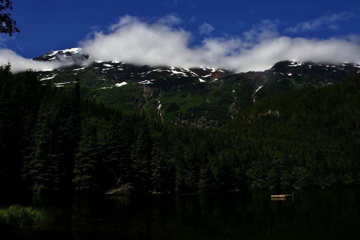
Image: Jasper Malchuk Rasmussen

While Hyder sits on the Alaskan Panhandle, it functions like a practical island: with no roads connecting it to the rest of the state, its only lifeline is a two-mile stretch of pavement leading into Stewart, B.C. This forced detour through Canada has effectively turned Hyder into a 'suburb' of its Canadian neighbor, where the border is a formality and the geography is the boss. With a population hovering around 20 people, Hyder has no bank, no post office, and spotty cell service—but it does have Stewart, B.C., just two miles away. The 400 residents of Stewart provide the services Hyder lacks, creating a dependence that makes the border almost irrelevant to daily life .

Hyder runs on Pacific Time rather than Alaska Time, uses Canadian currency, and Canadian area codes. Kids from Hyder attend school in Stewart. The towns share a volunteer fire department and emergency services.

8
Nogales, Arizona / Nogales, Sonora, Mexico
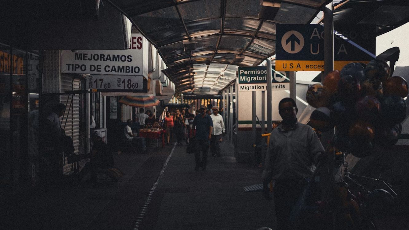
Image: Andrew Schultz

Ambos Nogales—"Both Nogales"—is what locals call this split city where the international boundary literally runs down the middle of town. Before modern border security, people would step back and forth across the line to shop, visit family, or grab lunch.

The American side has a population of around 20,000, while the Mexican side has grown to over 300,000. Despite the size difference, the cultural exchange remains strong. Arizona residents cross for affordable dental care and authentic Sonoran cuisine, while Mexican families come north for shopping at American chain stores. The shared history runs deep—many families have relatives on both sides , and the sense of being one divided community persists despite the increasingly fortified border.

9
San Diego, California / Tijuana, México
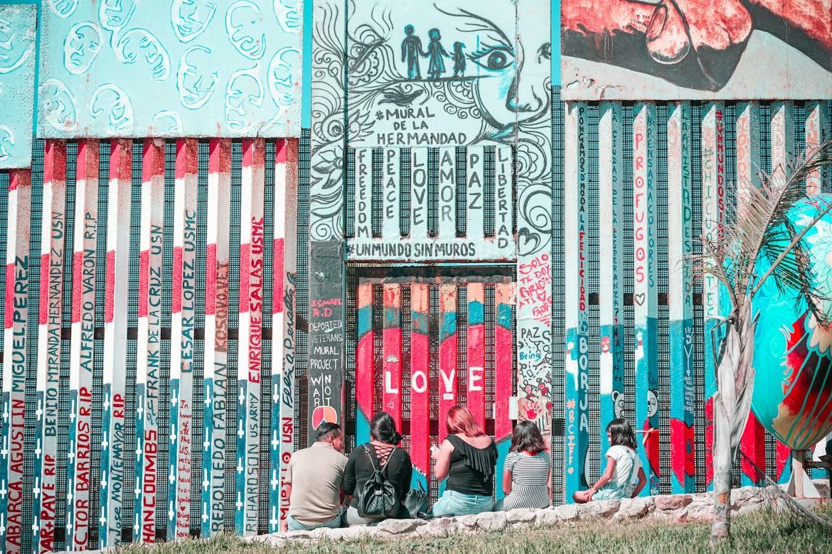
Image: Barbara Zandoval

The San Ysidro Port of Entry between San Diego and Tijuana is the busiest land border crossing in the Western Hemisphere, with around 70,000 northbound vehicle passengers daily . This constant flow has created a cultural fusion zone where fish tacos meet California beach culture, and where thousands of people hold jobs on one side while living on the other.

Craft beer culture flourishes on both sides, with breweries collaborating across the border. Street art in both cities shares similar styles and themes, while music festivals regularly feature artists from both nations.

10
El Paso, Texas / Ciudad Juárez, México
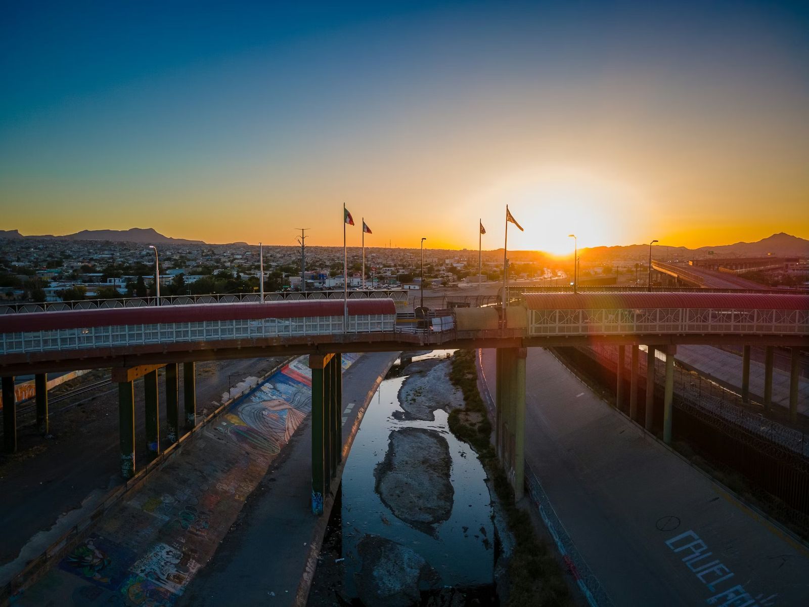
Image: Nils Huenerfuerst

El Paso and Juárez form one of the world's largest binational communities, with over 2.5 million people living in the combined metro area . Families routinely cross the border for work, school, shopping, and Sunday dinner. The Franklin Mountains provide a stunning backdrop to this bustling cultural exchange, where Tex-Mex cuisine was practically invented and where speaking both English and Spanish isn't just common, it's essential.

The downtown areas of both cities sit so close you can practically wave to someone across the Rio Grande. Street vendors sell elotes and hot dogs side by side, while radio stations broadcast to audiences in both countries simultaneously.
General General 4 min read

The secrets of the greenback

Dollar bills are green for this reason

Image: Pepi Stojanovski

The U.S. dollar is one of the most powerful and recognizable currencies in the world, but its physical form is unique for many other reasons . From its composition to its symbols, dollar bills and coins are carefully designed to combine history, security, and convenience. Let’s explore our national currency!

1
What are bills made of?

Image: Viacheslav Bublyk

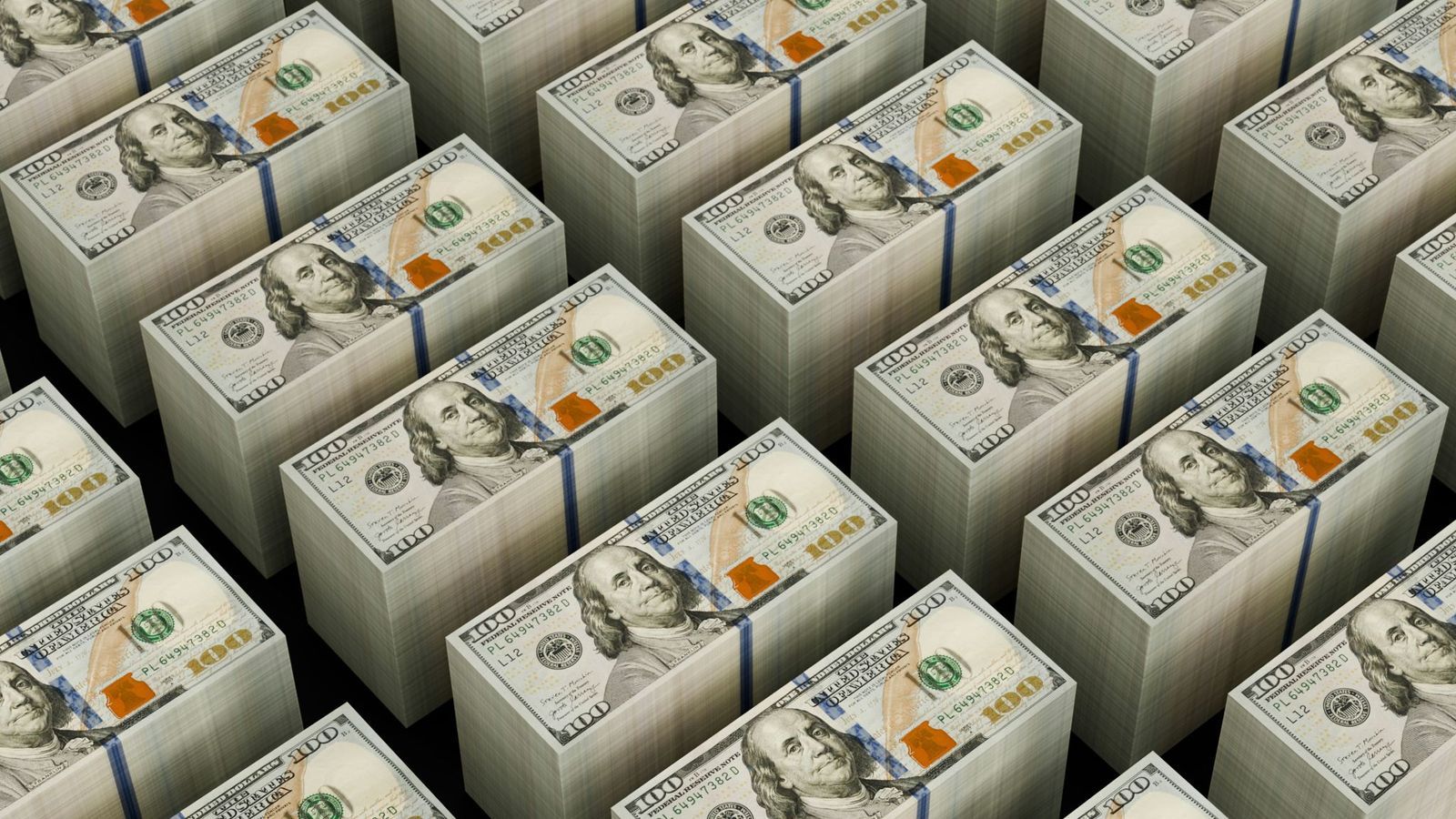
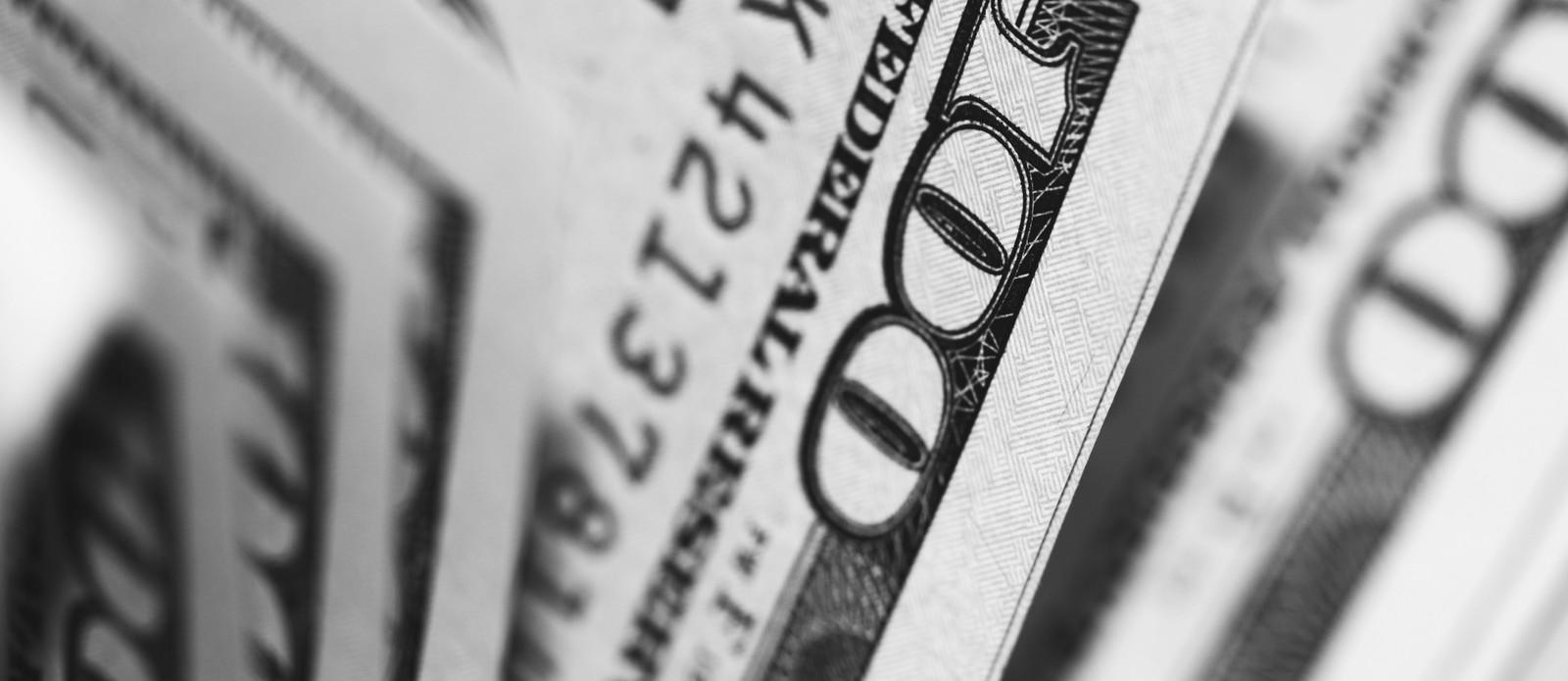
Unlike other currencies, dollar bills are not made of paper or plastic. U.S. dollar bills are made from a special fabric blend composed of 75% cotton and 25% linen. This mix makes the bills extremely durable and resistant, and they can be folded about 4000 times before tearing.

2
What bills are valid?

Image: U. S. Government, The Bureau of Engraving and Printing, Public domain, via Wikimedia Commons

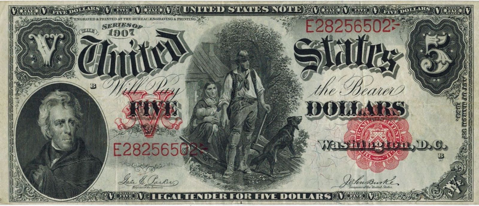
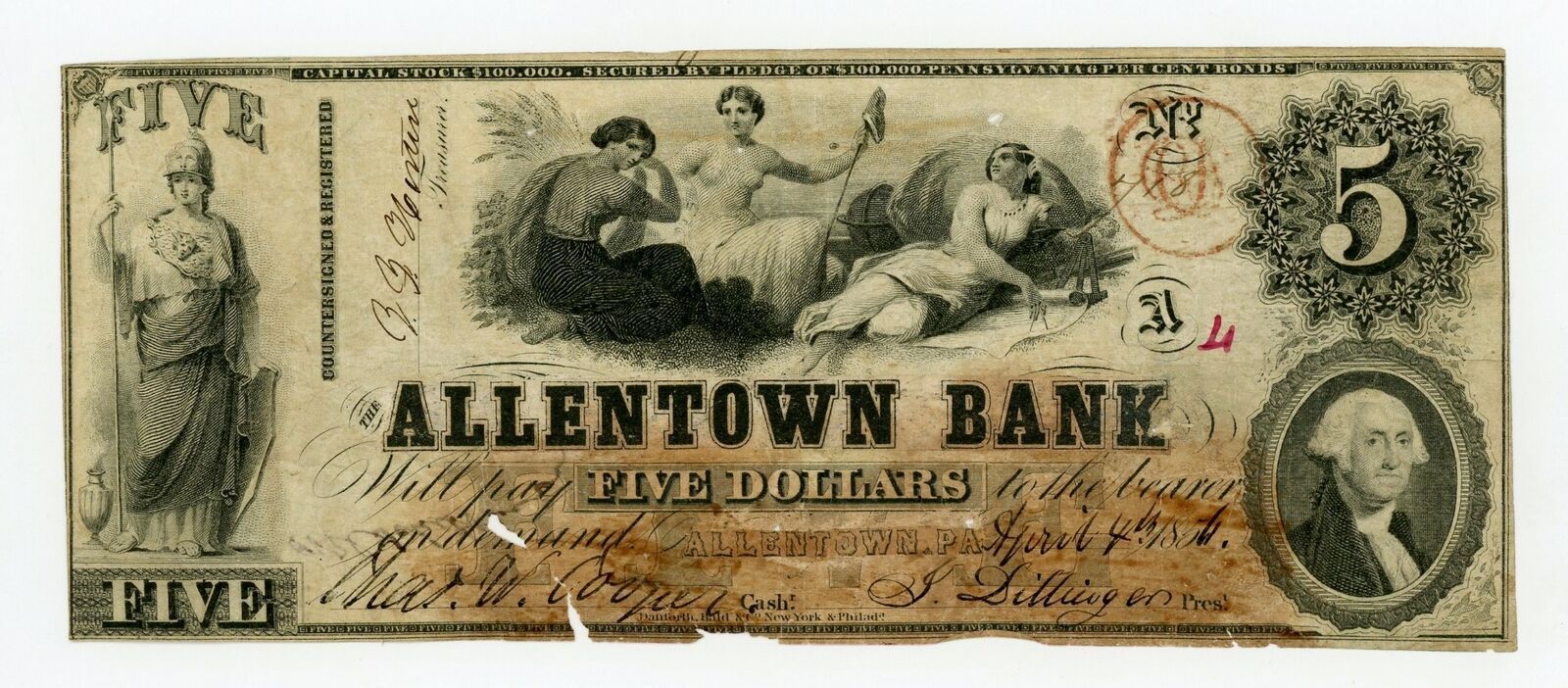
Any U.S. dollar bill that was legally printed is valid, no matter how old, as American currency does not have an expiration date. While some bills might not be accepted by businesses of foreign exchange services due to their condition or if they are a discontinued version of the bill, the bills themselves are still valid, and American banks will accept them, though they might take them out of circulation.

3
American leaders

Image: Lukasz Radziejewski

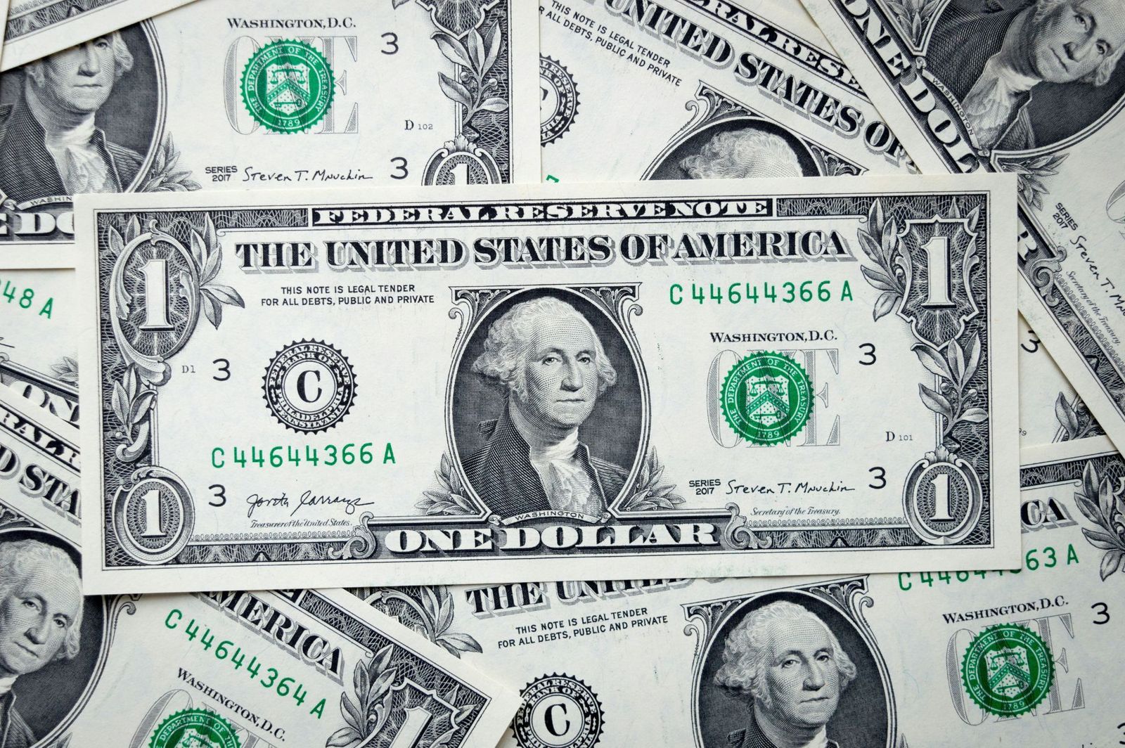
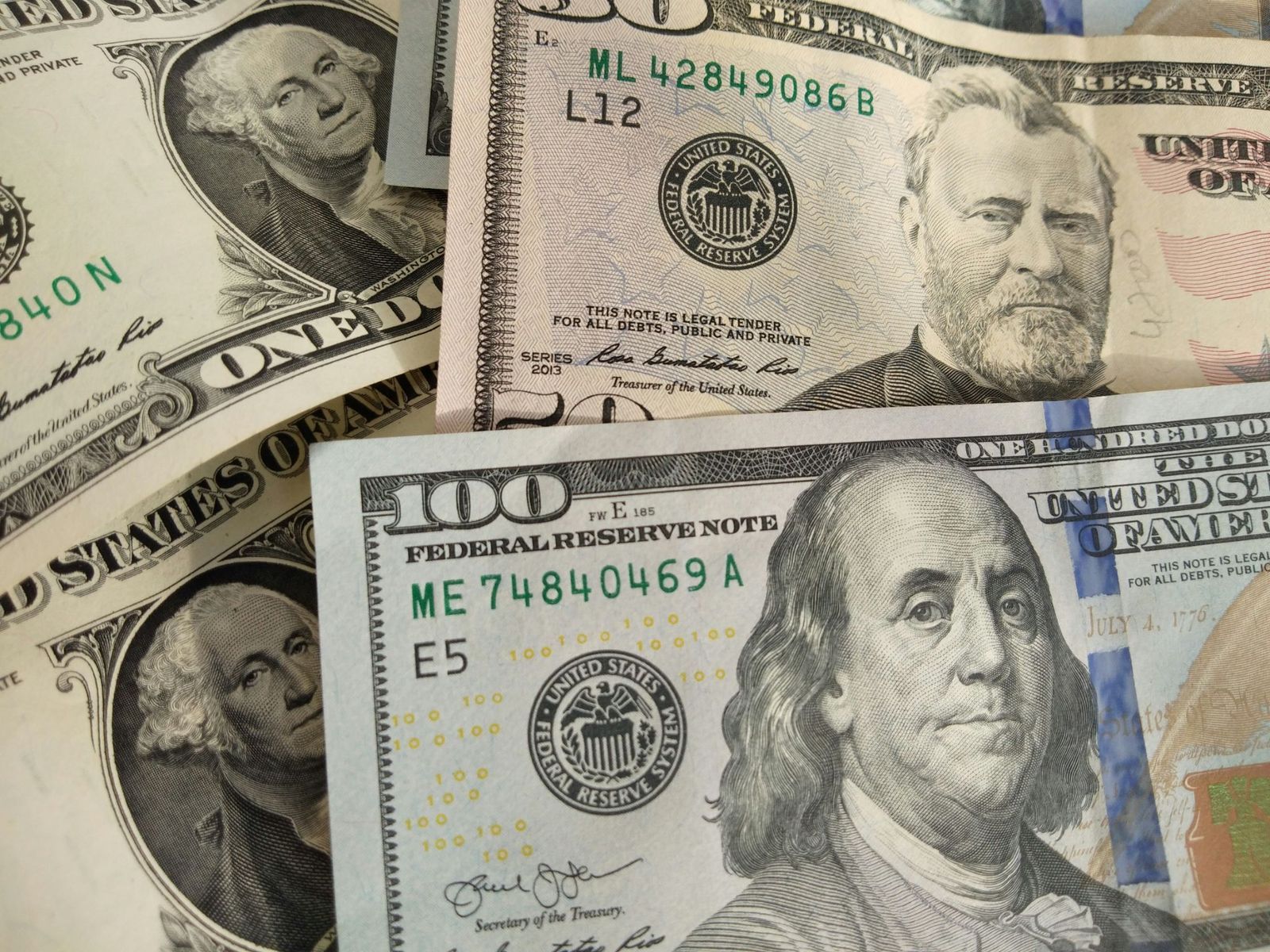
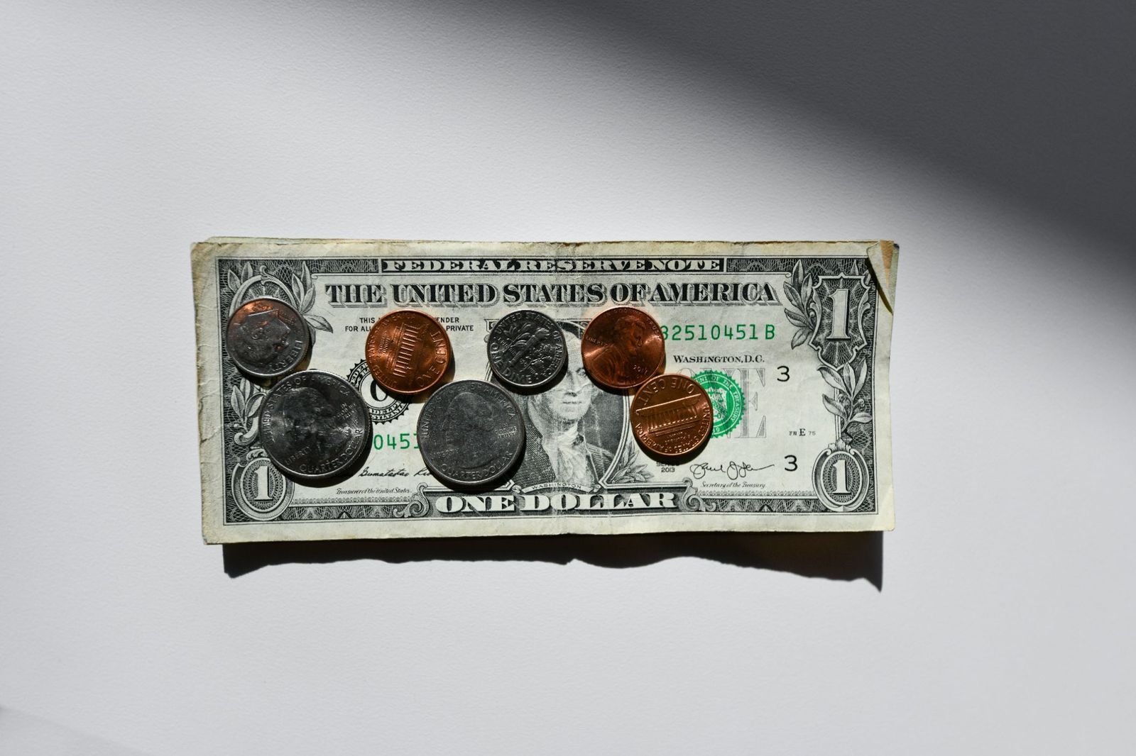
Five bills have a depiction of an American president. The exceptions are the $10 bill, with Alexander Hamilton on the front, and the $100 bill, with Benjamin Franklin. The $1 bill, depicting George Washington, is extremely symbolic: several elements are repeated 13 times as a nod to the thirteen colonies, and it showcases the Bald Eagle and the Eye of Providence as a sign of God watching over America.

4
A change in size

Did you know that dollar bills used to be so big that they were nicknamed "horse blankets"? Original dollar bills were 7.4 × 3.1 inches. In 1929, the Treasury Department reduced the size of bills to 6.14 × 2.61 inches to reduce production costs and materials. Old bills, though still valid, are worth much more as collector items.

5
Uniformity

Image: Avinash Kumar

Besides their value and design, all dollar bills have the same size (6.14 × 2.61 inches), color, and weight (1 gram) , which sets American currency apart from other countries where bills of different values are differentiated by size, color, or both. Why doesn’t the U.S. implement differences among bills? The cost of adapting vending machines, bank drawers, and ATMs to new bill sizes would cost billions of dollars.

6
Hard to copy

Image: United States Treasury Department, Public domain, via Wikimedia Commons

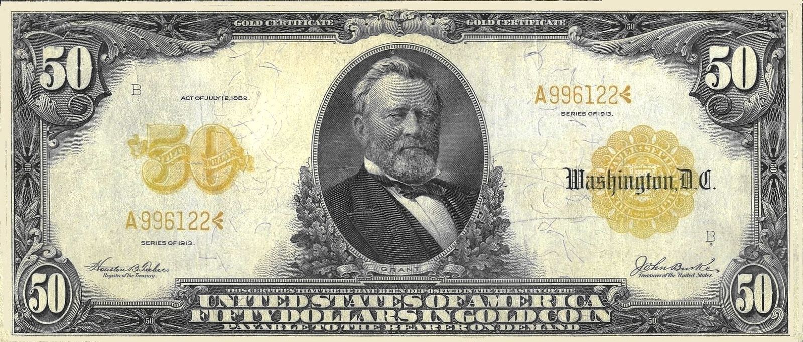
Originally, dollars were not green, but black. As time passed, green ink was favored, as it was cheap and did not fade as much as black. The new color also prevented people from using black-and-white cameras to create counterfeit money. Currently, dollar bills are predominantly green, but newer versions also include extra colors, such as pink, orange, or purple.

7
A $100,000 bill?

Image: The original uploader was Durova at English Wikipedia., Public domain, via Wikimedia Commons

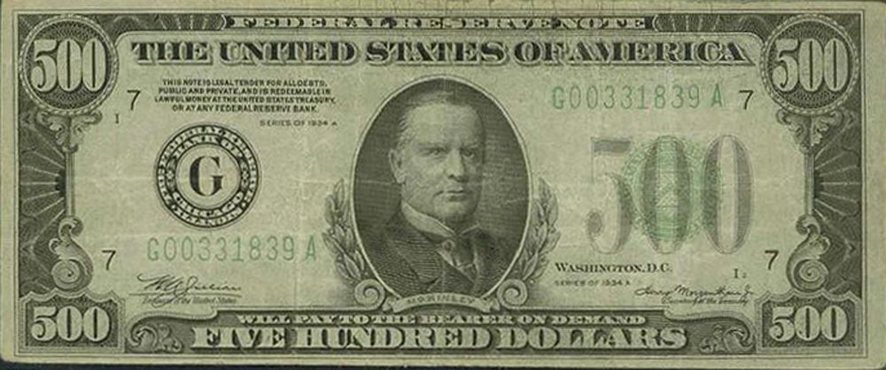
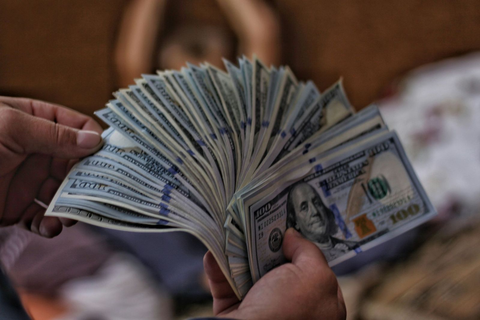
Have you ever seen a $500 or 1,000 dollar bill? What about a $100,000? Up until 1945, the U.S. Treasury printed $500, $1,000, $5,000, $10,000, and $100,000 notes , in addition to the values currently in use. These higher-value notes were mainly intended for bank and government use, but were sought by criminals as they made it easier to hide large amounts of money. Even though they were officially discontinued in 1969, these notes are still valid, though rare, and they have a high worth as collector's items.

8
No numbers

Image: Quilia

Unlike bills, American coins have different sizes and colors related to their value. Originally, gold, silver, and copper were used for coins, but modern coins are made of copper, zinc, or nickel. Besides their size and design, the value of each coin is printed in letters, not in numbers , alongside depictions of American presidents.

9
Liberty for all (the coins)

Image: Money Knack

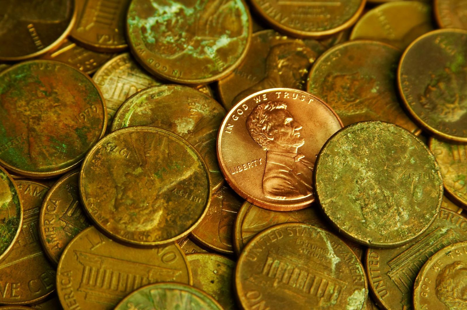
By law, all American coins must include six specific details : the word ‘Liberty’, the name of our country, the national motto "In God We Trust", the oldest American motto "E Pluribus Unum", the value of the coin, and the year. Each coin also includes a mint mark that shows where it was made: "P" for Philadelphia, "D" for Denver, "S" for San Francisco, and "W" for West Point.

10
A global currency

Image: Logan Voss

The American dollar is one of the most powerful currencies in the world, acting as a backbone for international trade and finances. It is estimated that two-thirds of the physical dollars in circulation are outside American territory. Besides the U.S. and its territories, eight sovereign nations have the U.S. dollar as their official currency, with several more accepting it as legal tender.

Geography Geography 5 min read

Stories carved by the Colorado River

The missing pieces of the Grand Canyon: 10 incredible facts

Image: jesus esteban

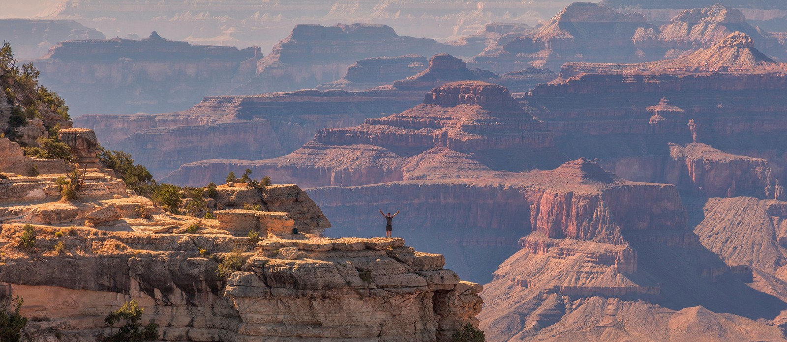
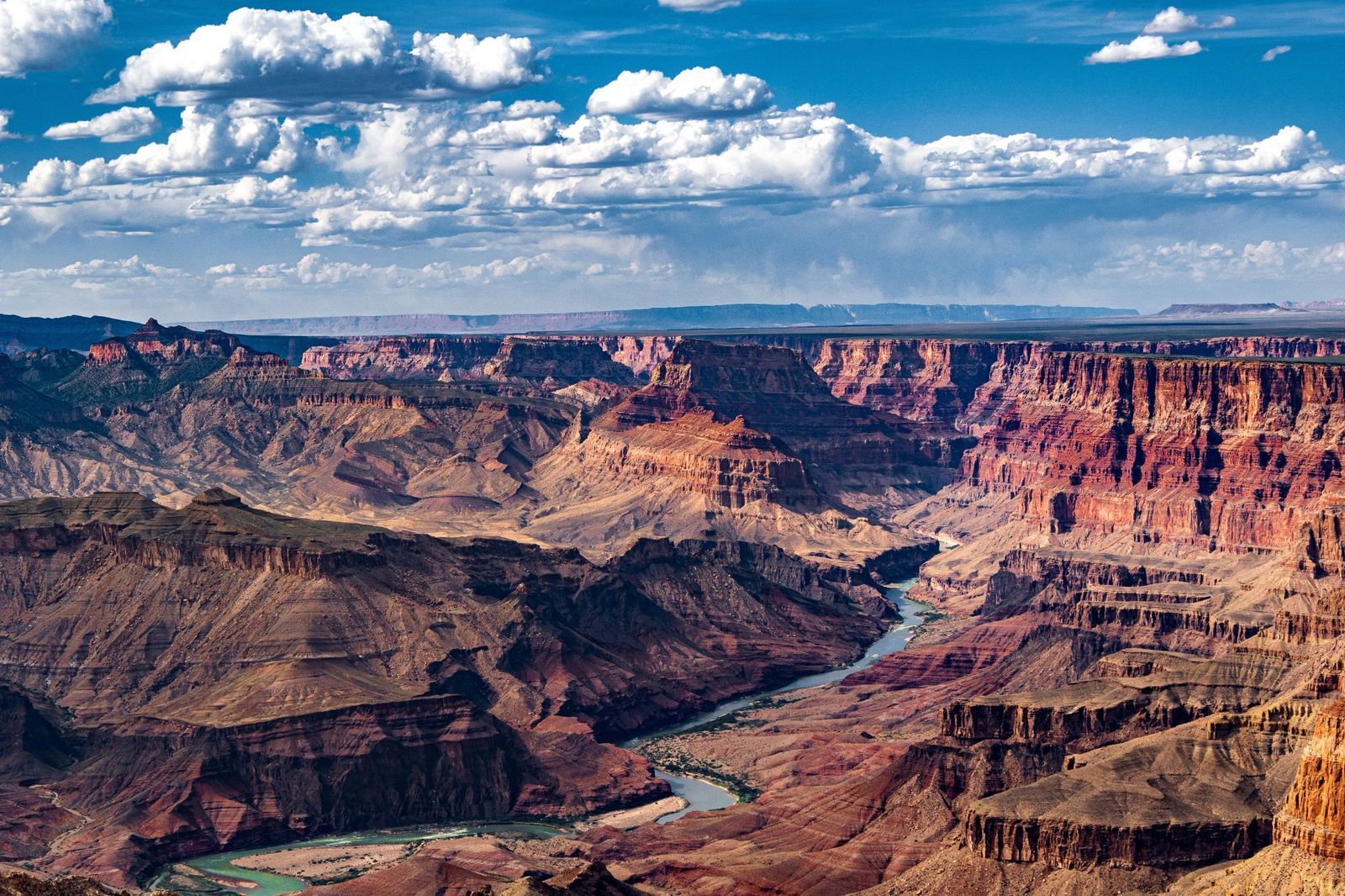
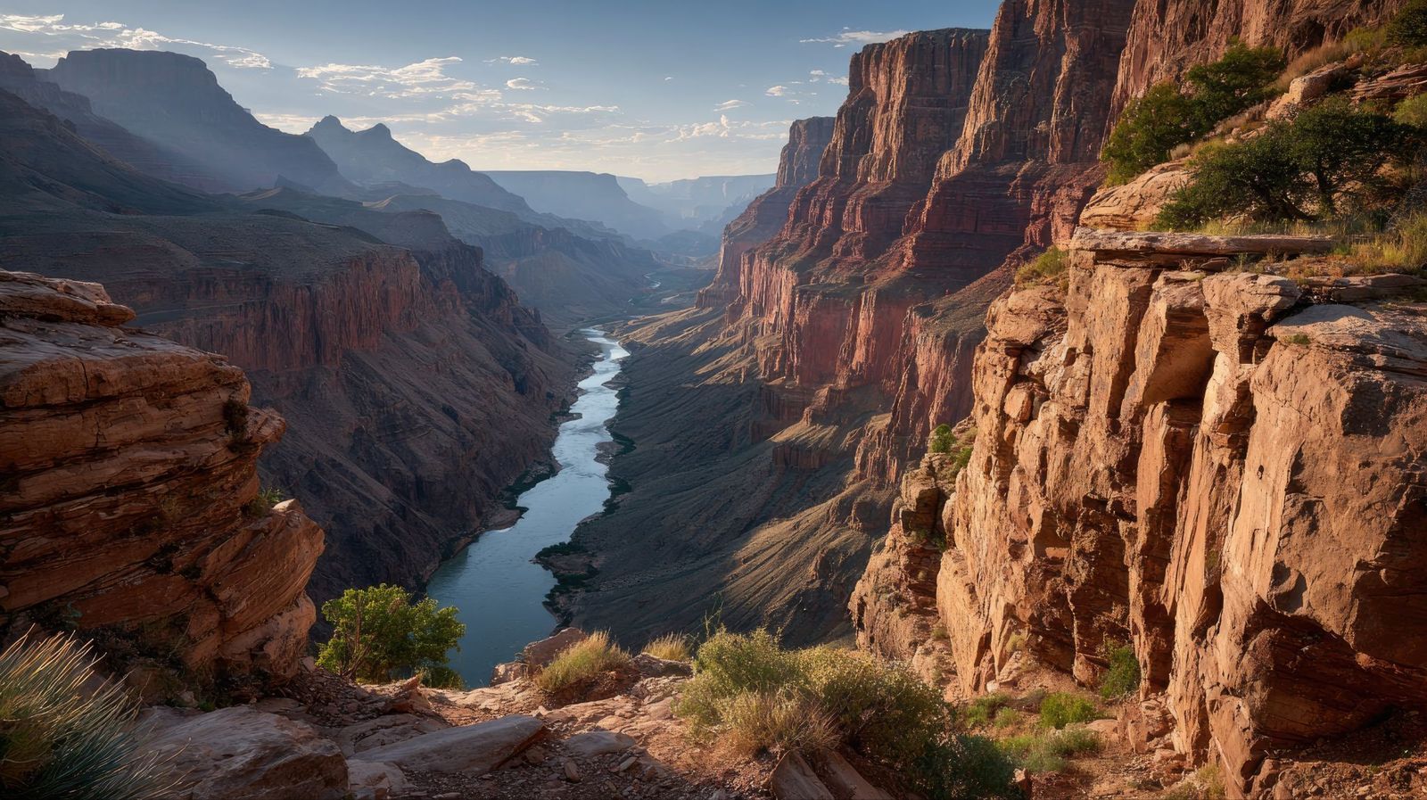
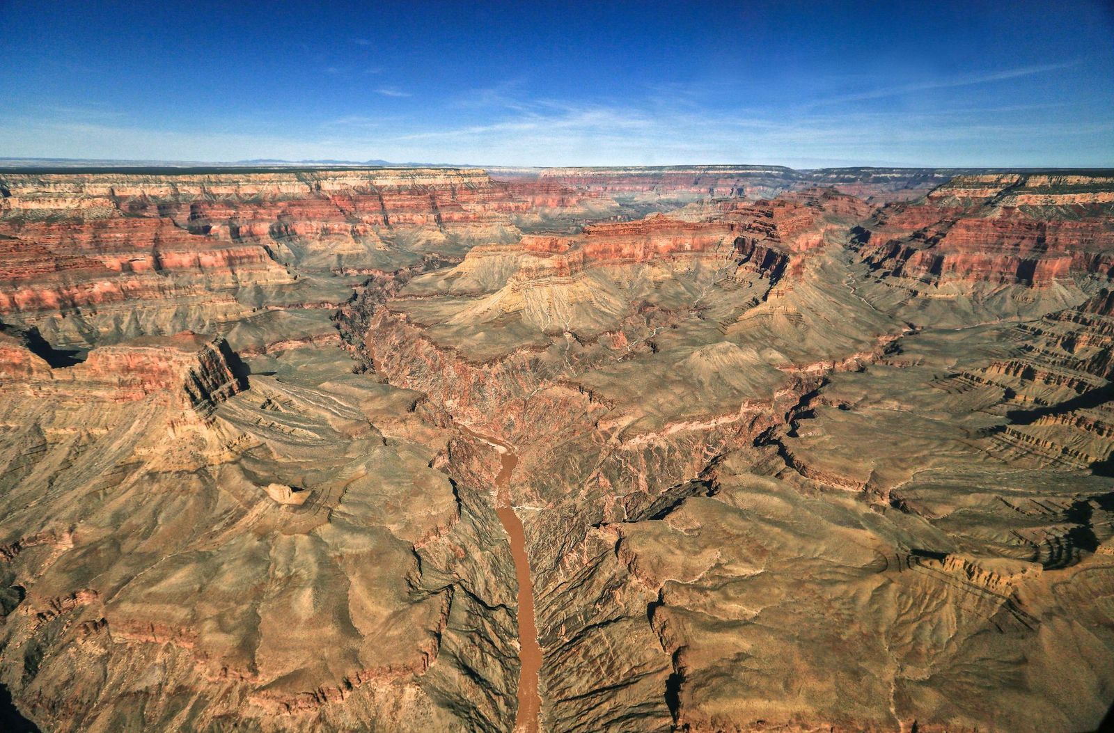
The Grand Canyon is bigger than Rhode Island. It's deeper than four Empire State Buildings stacked end to end. Its rocks are older than dinosaurs. But those stats alone don’t quite capture its immensity — and are hardly the most shocking. There are nuclear shelters, hidden villages, and billion-year mysteries involved. Read on to learn 10 lesser-known facts about the Grand Canyon.

1
There's an unexplained billion-year gap

Image: John Graybosch

Look closely at the canyon walls, and you'll notice something strange: a clean, sharp line where ancient rock simply stops, and a much younger layer begins directly above it.

This geological puzzle is called the "Great Unconformity," and it represents over a billion years of rock layers that are simply absent , as though that stretch of time never happened. In some spots, rock dated 1.8 billion years old sits directly beneath rock that is only 520 million years old. Where did the missing billion years go?

The leading theory involves the violent breakup of an ancient supercontinent, but scientists are still piecing it together.

2
During the Cold War, it hid a nuclear fallout shelter

Image: Lauri Väin from Tallinn, Estonia, CC BY 2.0, via Wikimedia Commons

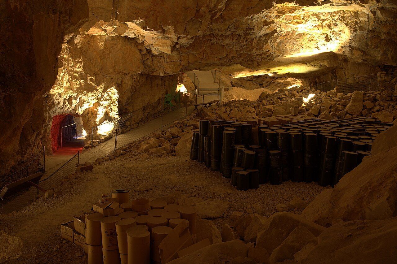
During the Cuban Missile Crisis in 1962, the U.S. government converted part of the Grand Canyon Caverns into a fallout shelter. This dry cave system, more than 200 feet underground, was stocked with enough food and water to sustain 2,000 people. Naturally, it was never occupied, and the supplies were never used.

The caverns have since been transformed into a tourist attraction, with organized tours winding through the same underground chambers that were once intended as a refuge from nuclear war. You can even book a night's stay there.

3
The Federal Aviation Administration was founded after a crash over the canyon

Image: Alexandre Henry Alves

In 1956, two commercial passenger planes collided in midair over the eastern Grand Canyon, killing all 128 people on board both crafts. Rescue teams struggled to reach the wreckage deep inside the canyon, and the extreme heat of the crash had caused the planes' aluminum to fuse with the bedrock. There were no survivors.

The disaster exposed a terrifying truth: the U.S. air traffic control system was dangerously outdated, relying on pilots' visual estimates and rough guesswork from controllers , with no way to separate fast-moving aircraft from slow ones, or instrument-flying planes from those navigating by sight. Congress responded by passing legislation that created both the Federal Aviation Administration (FAA) and the National Transportation Safety Board.

4
A hoax suggested that an Egyptian civilization had lived there

Image: abdurrohman dzar

In 1909, the Arizona Gazette reported that an explorer named G. E. Kinkaid had discovered a vast underground citadel inside the canyon, filled with artifacts linked to ancient Egyptian civilization. He even claimed the expedition had been funded by the Smithsonian.

This story described hieroglyphics on the walls, mummies in the chambers, and relics pointing to a direct connection with the Egypt of the pharaohs. It was incredibly detailed, and it was, of course, a hoax. No evidence for any of Kinkaid's claims ever surfaced.

5
Fewer than 100 people have ever hiked its full length

Image: Abhishek Navlakha

Among the few people who have completed the through-hike of the Grand Canyon is Jen Hogan, the first woman to accomplish it, finishing her journey in 2021–2022.

It’s a full 800-mile length below the rim. The route involves extreme heat, flash floods, near-impassable areas, and stretches with no water or trail whatsoever. Around 60 or 70 people have reportedly accomplished it. This makes it one of the most exclusive feats on Earth.

6
The Grand Canyon's rocks predate dinosaurs entirely

Image: MARIOLA GROBELSKA

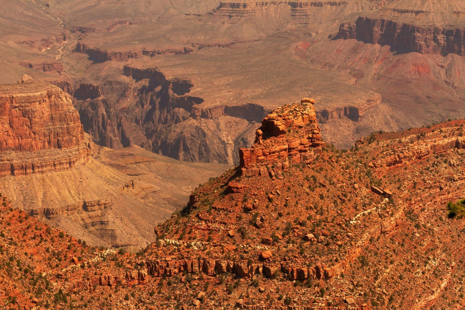
Visitors scanning the canyon walls for fossils are often surprised to learn they won't find any dinosaur bones here. The rock layers of the Grand Canyon are simply older than dinosaurs. This fact alone can be shocking: staring at its walls means staring at marine fossils from as far back as 1.2 billion years ago. Some of its caves hold the remains of ancient mammals. The canyon is a window into a world that existed long before the dinosaurs, when the land that is now Arizona lay beneath a shallow sea.

7
The park is bigger than Rhode Island

Image: AussieActive

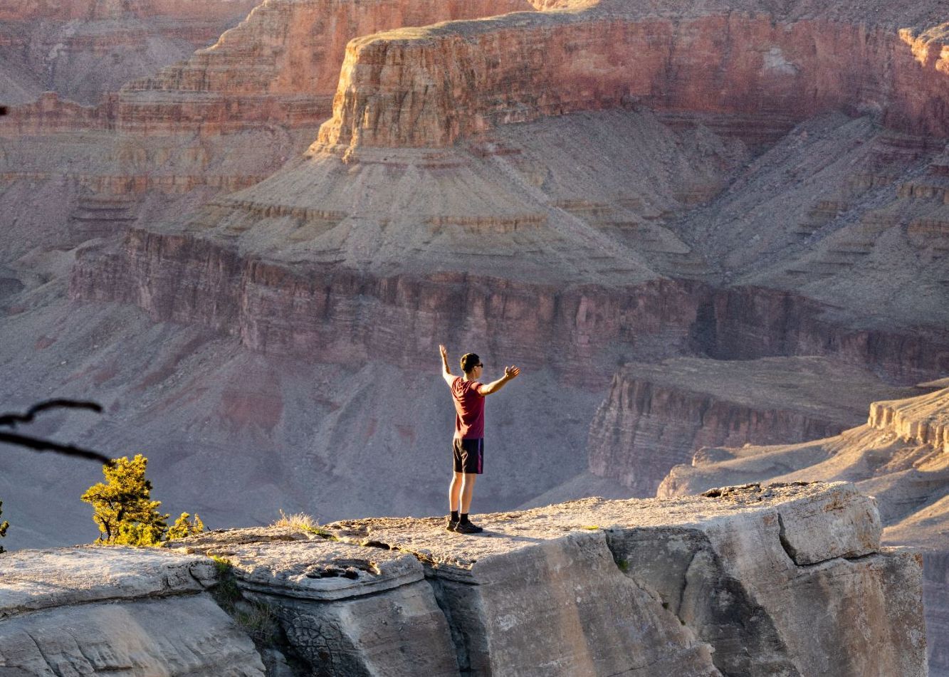
Numbers alone rarely capture the Grand Canyon's scale, so here's a different approach. Rhode Island covers about 1,214 square miles, and the Grand Canyon National Park spans 1,904 square miles.

The canyon's depth exceeds four Empire State Buildings (which is 1,454 feet) stacked on top of one another. That’s 6,093 feet at its deepest point.

8
But it's not the deepest canyon on Earth

Image: Naeemphotographer2

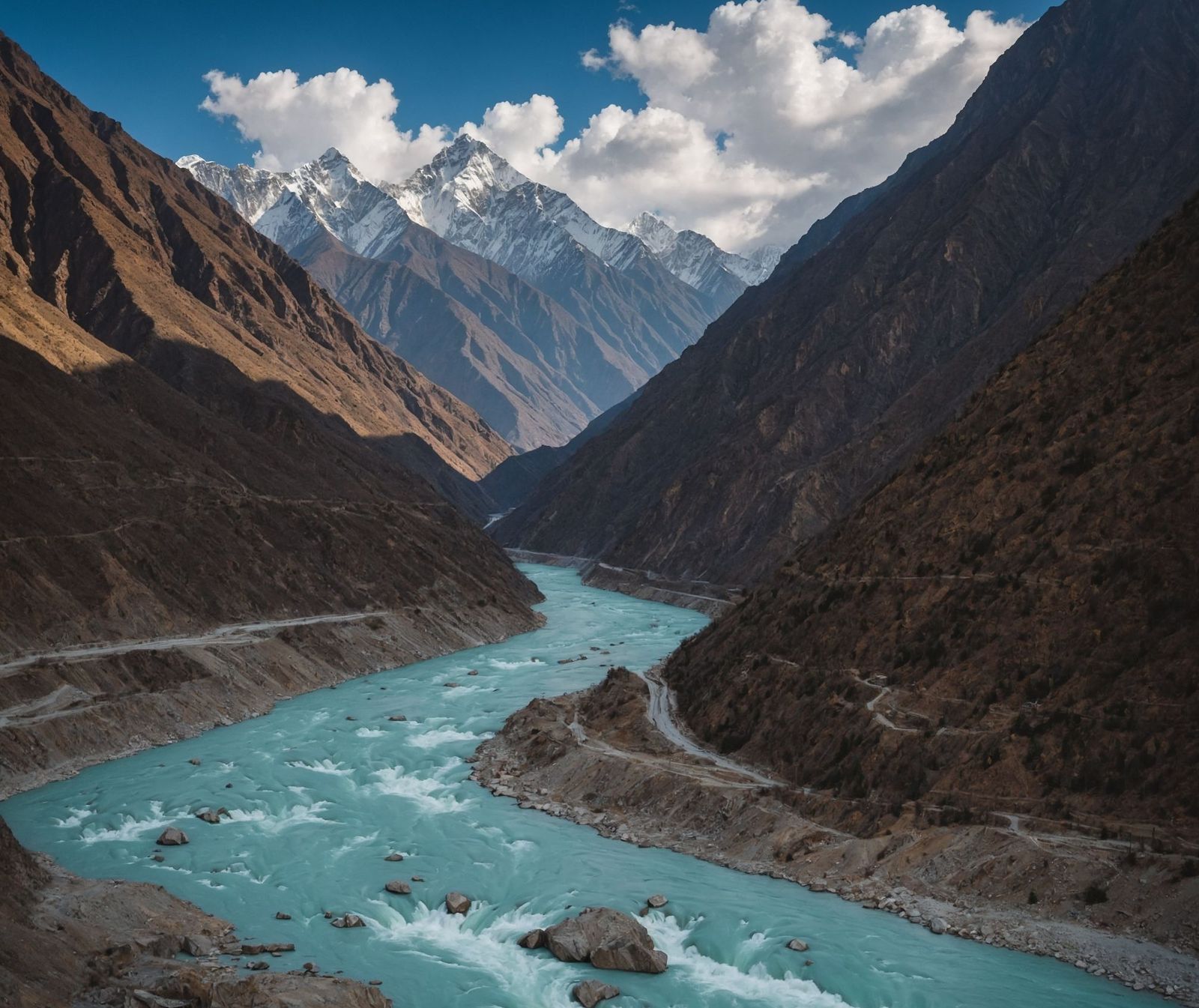
For all its grandeur, the Grand Canyon does not hold the depth record. Pictured above, the Yarlung Tsangpo Grand Canyon in Tibet, China, plunges to 17,567 feet, which is nearly three times deeper. Carved by the Yarlung Tsangpo River as it cuts through the eastern Himalayas, that canyon is so remote and extreme that it remained largely uncharted until the late 20th century.

9
It is home to a pink rattlesnake found nowhere else on Earth

Image: Alexander Wong

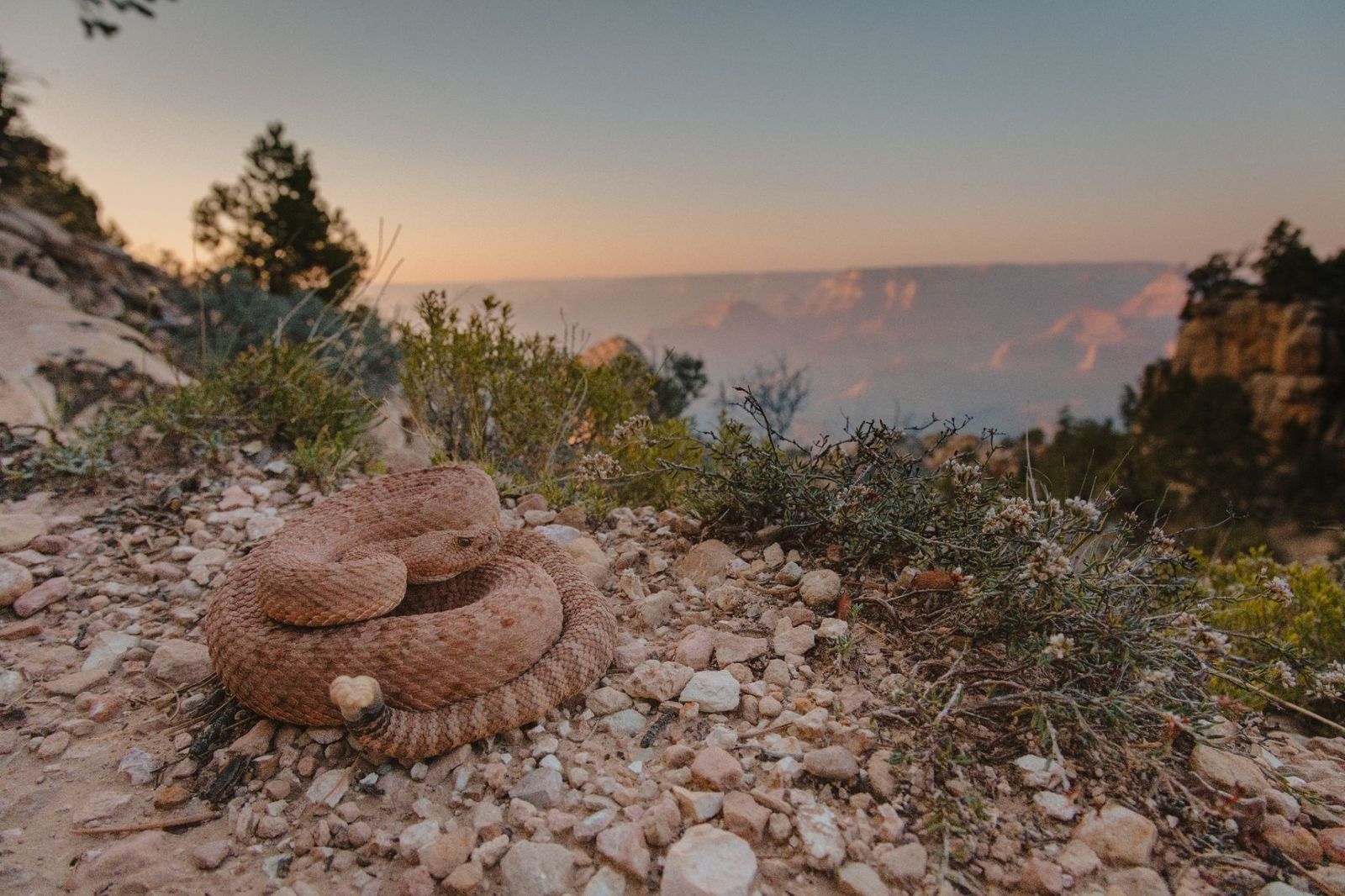
The Grand Canyon Pink Rattlesnake has a pinkish-red coloring that matches the canyon's own distinctive rock walls so closely that it's nearly invisible. It is found nowhere else in the world. Officially classified as Crotalus oreganus abyssus , it has darker diamond-shaped markings along its back that deepen the camouflage further.

10
There's a village at the bottom: Supai Village

Image: joojoob27

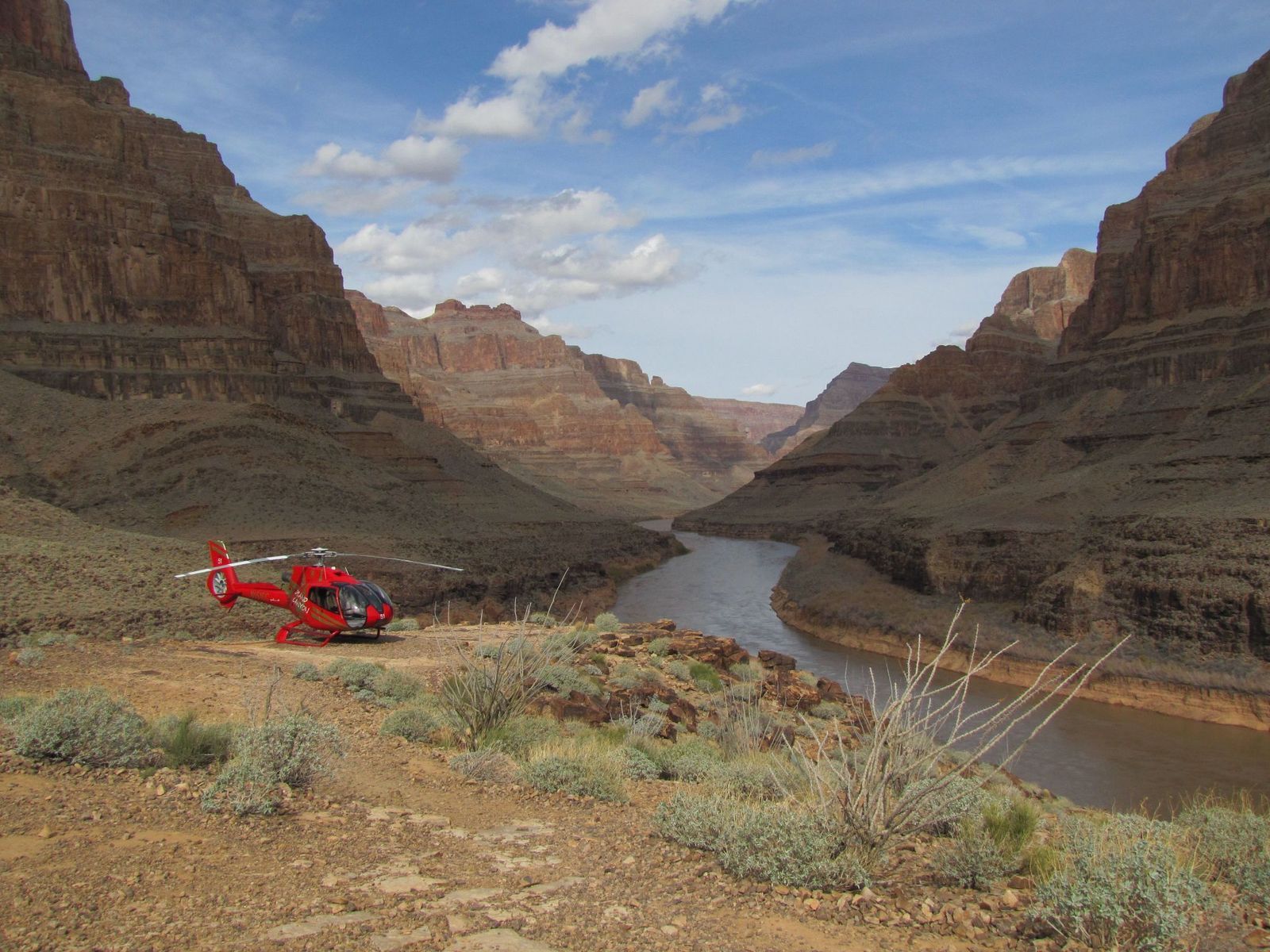
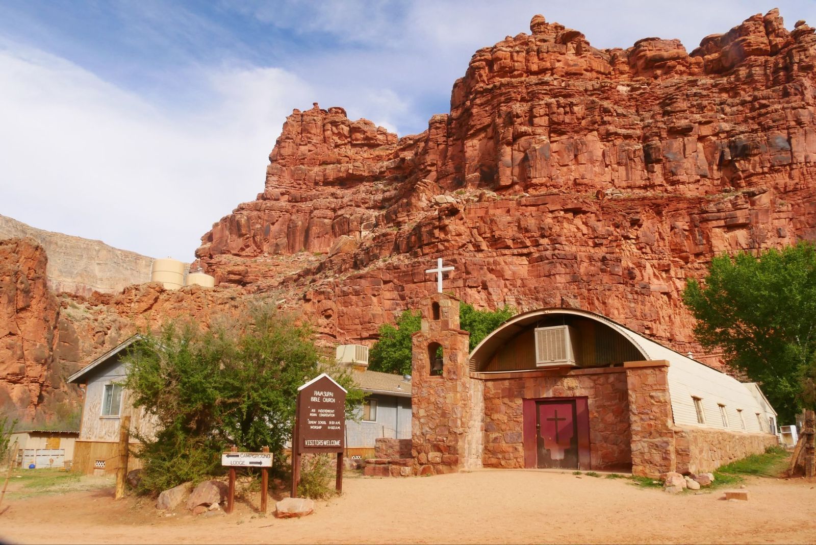
For over 1,000 years, the remote village of Supai has been home to the Havasupai Tribe, the People of the Blue-Green Waters. It is located an eight-mile hike from the rim, but sits roughly 3,000 feet deep inside the Grand Canyon.

The U.S. Department of Agriculture has called it the most remote community in the contiguous United States, and it has no automobiles and no road access. The only ways in are on foot, by mule, or by helicopter. It is also the only place in the United States where the postal service still delivers mail by mule train.

Explore more American facts

Choose your favorite category!

General
General

As American as apple pie—the very best America has to offer!

Culture
Culture

Delve into the astounding richness of American lore.

Geography
Geography

Hop in and explore vast and diverse American landscapes.

History
History

Discover the key moments that shaped the United States.