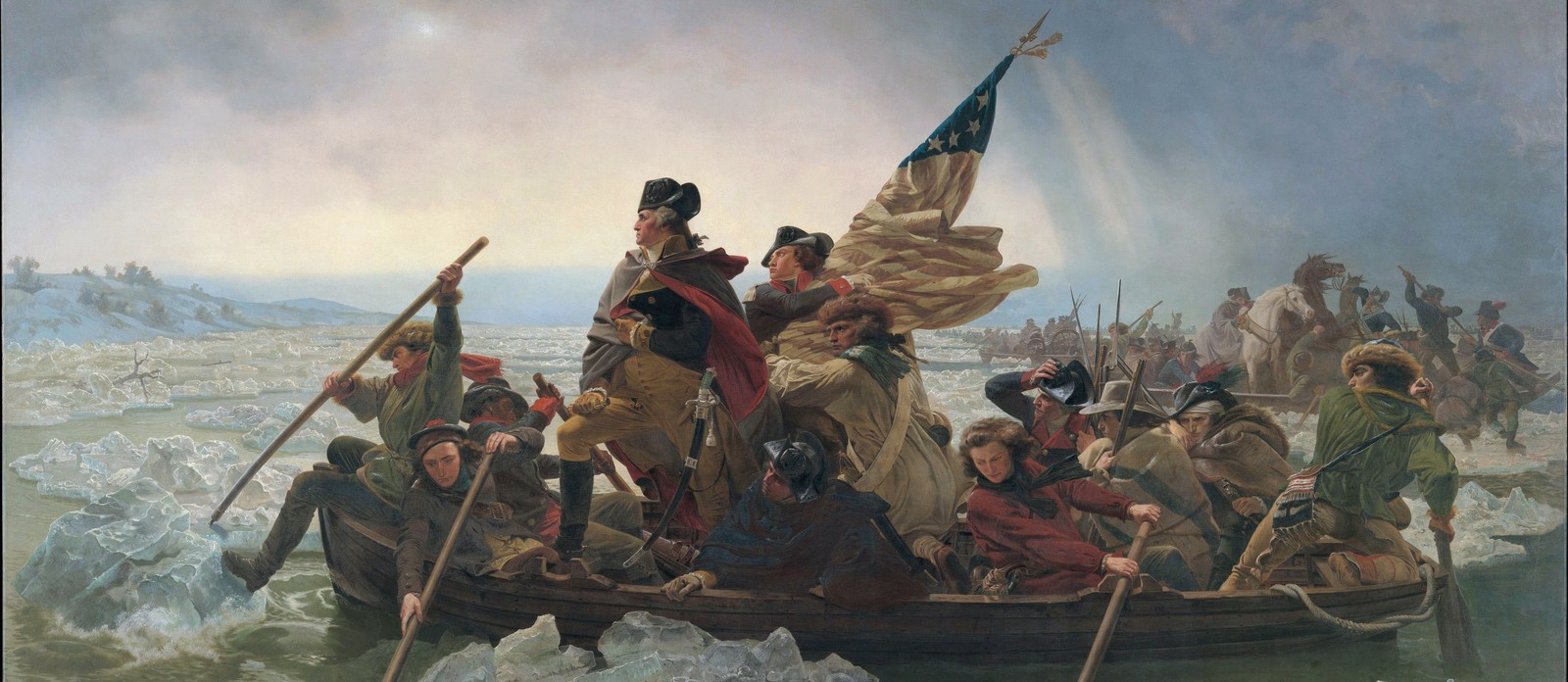
Geography Geography 5 min read

Route 66 is not here

Which is the loneliest road in America? 10 scenic and uncrowded routes

Image: Tomas Anunziata

The vast roads of America boast hundreds, possibly thousands, of beautiful scenic roads for visitors to travel and enjoy. But in the age of Instagram—where every gorgeous sunset or idyllic lake must be photographed and shared with the world—it can be difficult to delight in the natural wonders of the road with a sense of calm and solitude. Thankfully, there are still gorgeous stretches of land that, for some reason, have yet to capture the attention of the masses and remain relatively undisturbed. So, make haste and hurry to discover these 10 beautiful scenic routes before the smartphone-yielding hordes find them!

1
The Loneliest Road, Nevada

Image: Jake Blucker

Nevada is a state that offers plenty of wide, ample, and uncrowded places, for sure. The US Route 50 cuts through the heart of the state, offering solitude and stark desert beauty. The name "Loneliest Road in America" was bestowed upon this route by a 1986 Life magazine article claiming that there was not much to see—but that claim couldn’t be further from the truth.

Route 50 has plenty of ghost towns, historic mining communities, stunning state parks, unsurpassed recreational opportunities , and a selection of authentic Sagebrush Saloons.

2
Eastern Sierra Scenic Byway, California

Image: Joris Beugels

Yes, the Pacific Coast Highway, stretching along the coast of California, is one of the most famous and beautiful road trips in the world. But, as evidenced by the diverse landscapes of the Eastern Sierra Scenic Byway, the Golden State has so much more to offer.

Alpine lakes, rugged peaks, and desert expanses make up a jaw-dropping panorama all along the eastern side of the Sierra Nevada mountain range . The elevated mountainous terrain also offers breathtaking views of Mono Lake, whose famous salt waters are visible from miles away.

3
The Blues Highway, Tennessee, and Louisiana

Image: Tanner Boriack

It may sound like the title of a movie, or an album but, in this case, at least, the Blues Highway is a real road, stretching from Nashville, Tennessee, to New Orleans, Louisiana. Also known as Highway 61, this iconic route passes through Delta Blues landmarks, the French Quarter in New Orleans, and the historic jazz legacy of Preservation Hall.

As for natural beauty along the way, the Mississippi’s Natchez Trace Parkway offers a look into the area’s Native American history, as well as features stunning views of southern cypress swamps.

4
The San Juan Skyway, Colorado

Image: Maeghan Smulders

A spectacularly scenic high-elevation drive, the San Juan Skyway loop provides breathtaking views and access to historic mining towns. The route goes along U.S. Route 550 from Durango to Silverton, Ouray, and Ridgway, and then along Colorado State Highway 62 to Placerville, Colorado State Highway 145 to Telluride, Rico, Dolores, and Cortez, before completing the loop back to Mancos and Durango via U.S. Route 160.

Along this 236-mile journey, which takes about six hours to drive, you'll encounter, subalpine forests, historic mountain towns, expansive cattle ranges, and prehistoric Native American ruins.

5
High Peaks Scenic Byway, New York
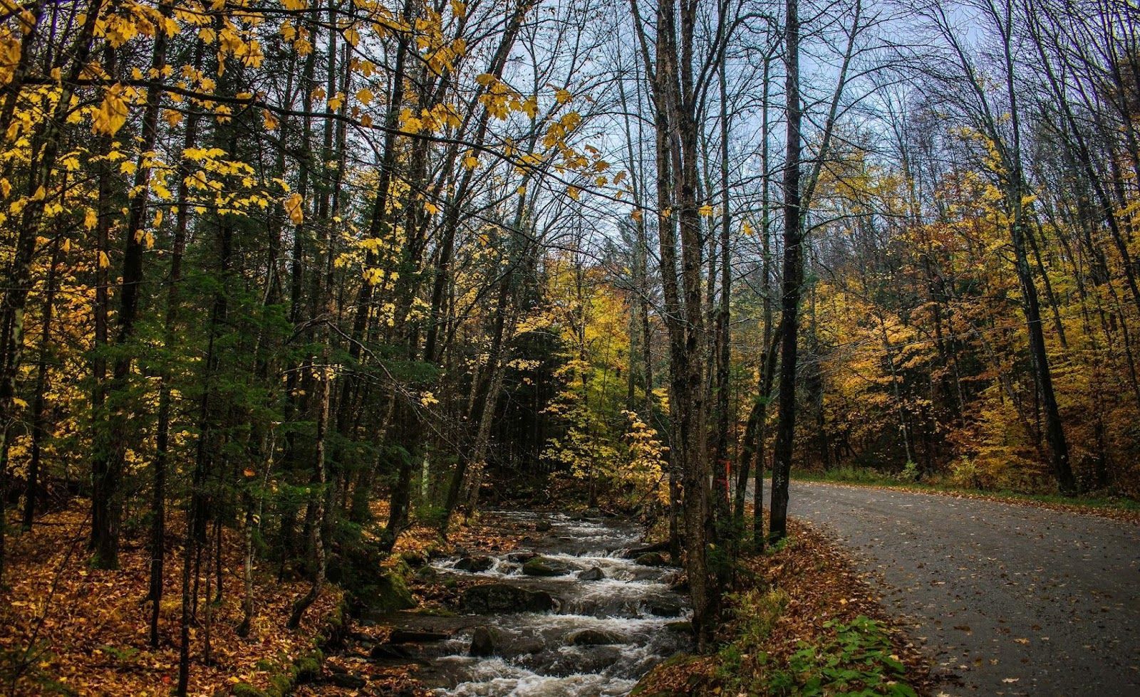
Image: Kevin Wiegand

The drive along the Adirondack Mountains is not named High Peaks Scenic Byway for nothing. This upstate New York route is a short, but stunning slice of nature. Coming in at just under 30 miles long, the byway begins in the town of Keene and runs to Lake Placid, leading travelers along the highest peaks of the Adirondacks, by breathtaking bodies of water such as Chapel Pond and Roaring Brook Falls, and through charming towns and dense forests.

There are plenty of places to pull over and take in the fresh air and scenery along the drive, as well as numerous trails for those seeking more active adventures such as canoeing, biking, fishing, or cross-country skiing.

6
The Black Hills, South Dakota

Image: mary stahl

There is so much more to the Black Hills than Mount Rushmore. This isolated mountain range in western South Dakota and northeastern Wyoming covers an area 125 miles long and 65 miles wide. It encompasses rugged rock formations, canyons and gulches, otherworldly buttes, open grassland parks, tumbling streams, deep blue lakes, and intricate cave systems.

The name "Black Hills" originates from the Lakota term Paha Sapa, meaning "hills that are black." Seen from a distance, these pine-covered hills, rising several thousand feet above the surrounding prairie, appear dark, almost black.

7
North Shore Scenic Drive, Minnesota

Image: Joe Pohle

The Great Lakes boasts countless scenic drives, and the North Shore Scenic Drive is among the most spectacular. Stretching approximately 154 miles from Duluth, Minnesota, to the Canadian border, the route offers unparalleled views of the northern shores of Lake Superior .

The drive takes travelers through charming towns and rugged coastal landscapes , with plenty of opportunities to stop for food and drink while also taking in expansive forests, cascading waterfalls, and beaches studded with colorful agate stones.

8
Trail of the Ancients Scenic Byway, New Mexico

Image: Maddy Baker

The Trail of the Ancients is a scenic byway winding through the rugged landscapes of the Four Corners region, where the states of New Mexico, Arizona, Colorado, and Utah meet. The byway unveils ancient cliff dwellings, underground constructions, and intricate rock art, providing a glimpse into the ancient culture that once thrived in the area.

At the heart of the trail lies New Mexico’s Chaco Culture National Historical Park, known for its intricate stone ruins of what was once a major gathering place for the ancestral Puebloans.

9
The Finger Lakes Loop, New York
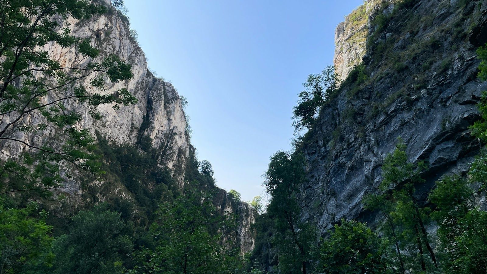
Image: Jametlene Reskp

The Finger Lakes region in upstate New York has plenty of wineries, waterfalls, and charming villages waiting to be discovered. Visitors can explore the area by car, spend the day on a bicycle, take a hike in the woods, paddle on kayak adventures, or tour the many wineries— offering endless opportunities for exploration.

This four-season playground is framed by some of Mother Nature’s finest work, with eleven freshwater lakes fanning out like fingers across the region.

10
Medicine Wheel Passage Scenic Byway, Wyoming
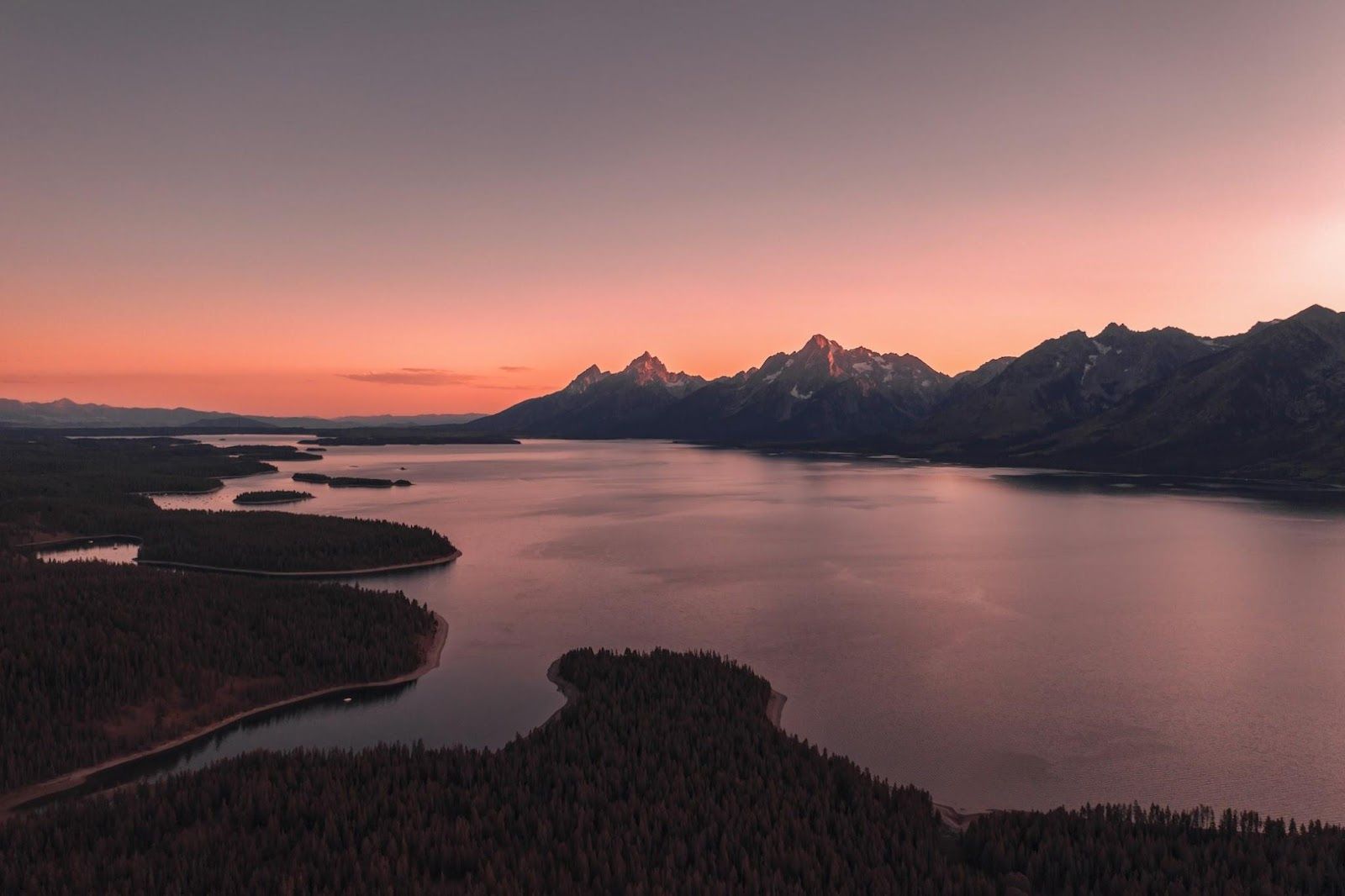
Image: Dan Meyers

Medicine Wheel Passage Scenic Byway is a section of US 14A that ends just west of the boundary for Bighorn Canyon National Recreation Area. At 27 miles, the steep, two-lane stretch travels among soaring mountain peaks, high-altitude deserts covered in grass and sagebrush, as well as conifer and aspen forests.

The byway gets its name from the Medicine Wheel, a sacred and historic limestone circle that sits near the summit of Medicine Mountain. American Indians constructed the wheel in stages sometime over the last 1,000 years, and still use it for ceremonies today.
Geography Geography 6 min read

Territorial anomalies

There's a country within the US that was created to avoid double taxation

Image: Pin Adventure Map

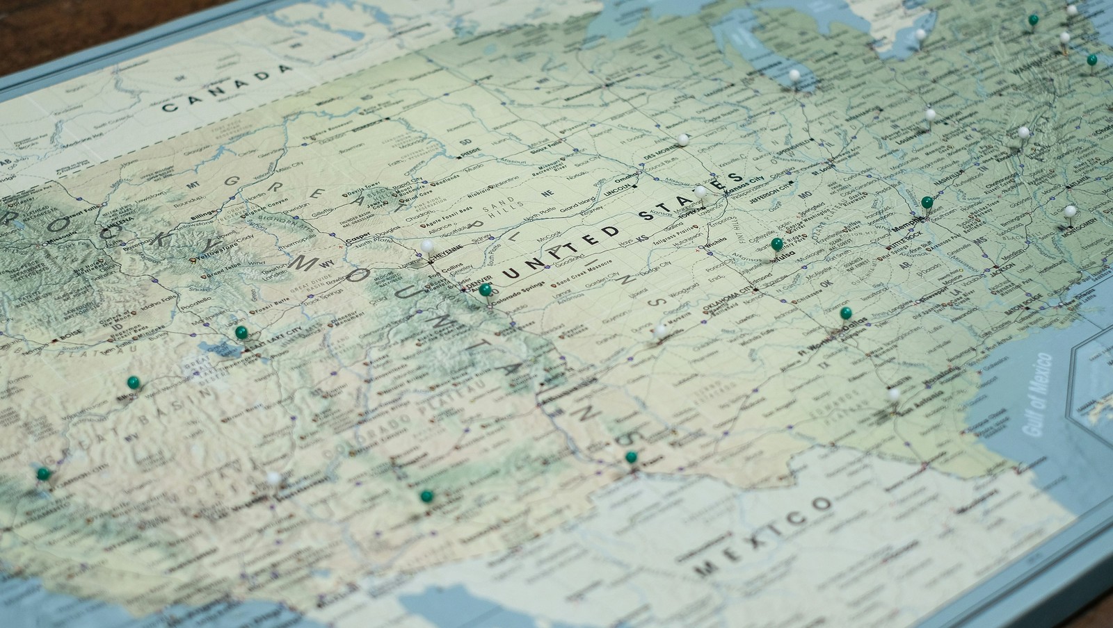
Ever thought about how the borders in our country were defined ? States that almost became official, U.S. points that are only accessible through Canada's borders, territorial feuds over taxes, and more have constructed the limits of the country we know today. Here are 10 territorial quirks you probably never knew of.

1
Point Roberts, WA: The 49th parallel accident

Image: United States Geological Survey, Public domain, via Wikimedia Commons

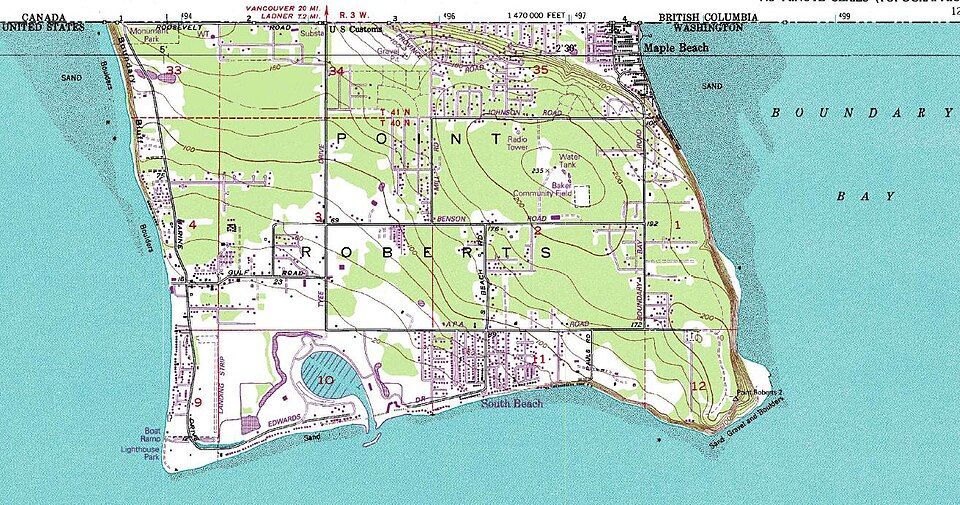
Imagine if you had to cross two borders just to get to the market for a gallon of milk. That’s actually a reality for residents of Point Roberts, Washington. That’s because, following the Anglo-American Convention of 1818, the 49th parallel divided Canada and the U.S. In 1846, the line was extended westward and then officially recognized by the International Boundary Commission in 1925.

However, a tiny tip of the Tsawwassen Peninsula poked out just below that line. Since then, the locals have lived in a boundary quirk. To get to the rest of Washington State by land, they must drive through Canada, show their passports, and do it all over again on the way back.

2
Statue of Liberty: Common misconception

Image: Mohamed Osama

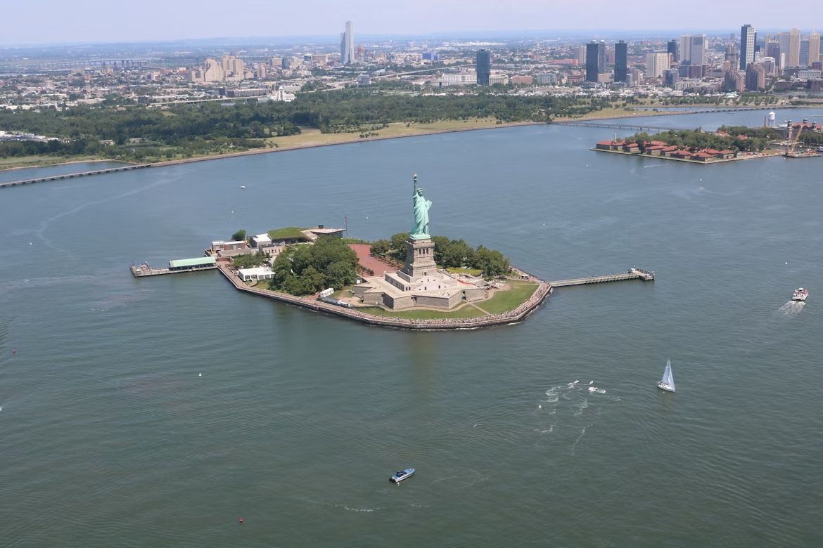
If you want to start a friendly argument at a dinner party, ask whether the Statue of Liberty lives in New York or New Jersey. The funny thing is, both answers are technically right . While the statue physically sits in the waters of the Garden State, Liberty Island is legally an exclave of New York. This dates back to a 1664 land grant by the Duke of York in a document so vague and confusing that it took a 1834 Compact between the two states to settle the deal. New Jersey gets the water and the submerged lands, but New York keeps the monument.

However, the Federal Government actually manages the site through the National Park Service (NPS), providing security and maintenance.

3
The State of Franklin: Failed 14th state

Image: Bennett1203, CC BY-SA 4.0, via Wikimedia Commons

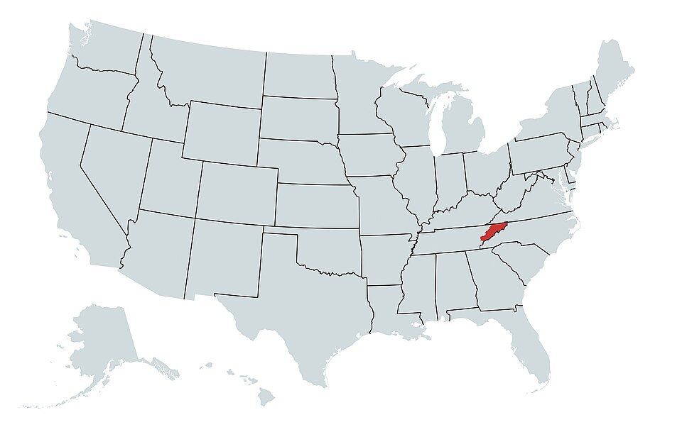
In 1784, three counties in North Carolina felt neglected by their government and decided to strike out on their own . They even elected a governor, John Sevier, and printed their own money. They came just two votes short of being recognized by Congress as a formal state.

Eventually, things got heated, and North Carolina sent troops, leading to a small civil war between the locals. By 1789, the dream of Franklin was buried, and the territory became part of Tennessee.

4
Kentucky Bend

Image: Brian Stansberry, CC BY 4.0, via Wikimedia Commons

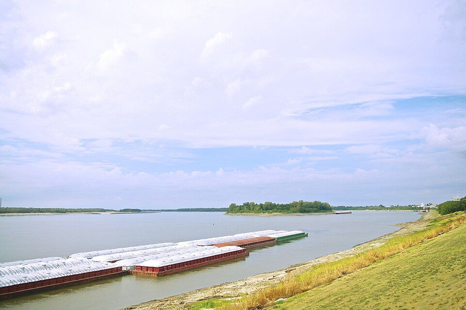
If you look closely at a map, there’s a piece of Kentucky that looks like it doesn’t belong. That’s the Kentucky Bend, also called the New Madrid Bend, a tiny peninsula in Fulton County that is almost completely separated from the rest of the Bluegrass State . The strange situation was the consequence of the massive series of earthquakes that took place in that area between 1811 and 1812, which were so violent they famously caused the Mississippi River to flow backwards for several hours. When the dust settled, the river had carved a new path that looped around this small patch of land, surrounded by Missouri and Tennessee instead of Kentucky. The 9 residents living there today go through Tennessee just to get to their home state.

5
The State of Deseret: The empire that almost was

Image: Carl Radefeld (cartographer); Joseph Meyer (publisher), Public domain, via Wikimedia Commons

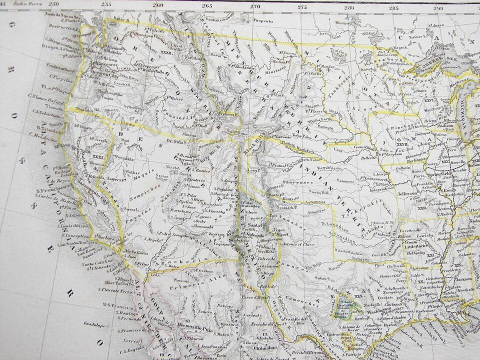
Imagine a state so big it makes Texas look tiny. That almost happened back in 1894, when Mormon pioneers proposed the State of Deseret. The territory comprised what we now know as Utah, most of Nevada, parts of Arizona and Colorado, and a massive chunk of the California coast, including San Diego.

Had it been formalized, it would have been a powerhouse with its own seaport and total control over the West. However, Washington, D.C. wasn’t so keen on one group having that much territory and power, so they whittled it down, and we ended up having the states we know today.

6
The lawless "No Man's Land"

Image: Steve Shook from Moscow, Idaho, USA, CC BY 2.0, via Wikimedia Commons

Have you ever wondered what happens when two governments simply give up on a piece of land? Between 1806 and 1821, there was a strip of land in what is now western Louisiana that was, literally, No Man’s Land. Neither the U.S. nor Spain, which owned part of the territory, could agree on the border, so they declared it "Neutral Ground" to avoid armed conflicts . The plan backfired as, with no laws to contain it, it quickly became a favorite for the outlaws in the West —meaning deserters and bandits hiding there were legally untouchable. The conflict was resolved by the 1819 Adams-Onis Treaty, which officially set the Sabine River as the legal boundary.

7
The Republic of the Indian Stream

Image: Jon Platek, CC BY-SA 3.0, via Wikimedia Commons

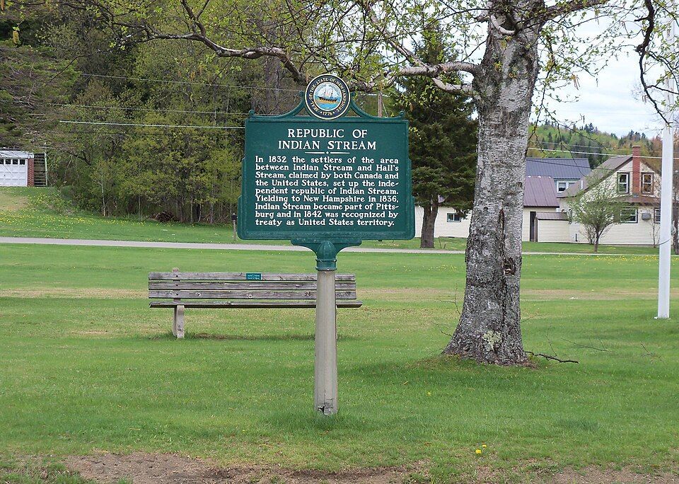
In the early 1830s, people living in a small area between New Hampshire and Quebec were fed up, and in this case, taxes were the problem. Both Canada and the US were trying to collect taxes, and nobody likes being double-billed . In 1832, the residents essentially said "neither of them can tax us" and formed their own country called the Republic of the Indian Stream. They had their own constitution and Capitol for four years, until 1836, when the militia marched on the disputed territory to reclaim the land. It wasn’t until 1842, when the land dispute and the double taxation were definitively resolved by the Webster–Ashburton Treaty, which assigned the land to New Hampshire.

8
The Northwest Angle: Mapping mistake of 1783

Image: Lorie Shaull, CC BY-SA 4.0, via Wikimedia Commons

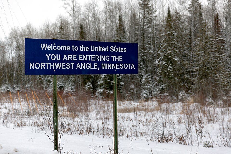
When the Treaty of Paris was signed in 1783 to end the Revolutionary War, the mapmakers used a chart that was flat-out wrong. They thought the Mississippi River started much further north than it actually did. Because of that mistake, a piece of Minnesota got cut off from the rest of the country . To this day, the "Northwest Angle" is the only place in the lower 48 states north of the 49th parallel. Much like Point Roberts, you have to cross a massive lake or drive through Canada just to visit it.

9
The District of Columbia’s "lost" corner

Image: Tim Mossholder

If you look at a map of D.C., you’ll notice it’s missing a chunk; it’s not a perfect square as it was originally intended. Originally, the capital was a perfect ten-mile square diamond , taking land from both Maryland and Virginia. But by 1846, things got tense. Residents in the Virginia portion, which included Alexandria and Arlington, were worried the federal government would abolish slavery in the District, which was the backbone of their economy. They successfully petitioned to have Virginia "take back" that portion of the land and subsequently changed the shape of the national capital forever.

10
UN Headquarters: International territory

Image: LPulecio-WMF, CC BY 4.0, via Wikimedia Commons

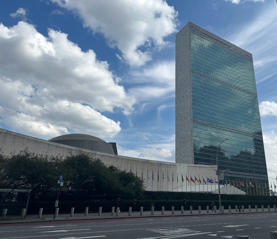
If you want to feel international, go to the United Nations Headquarters on the East River in midtown Manhattan, New York. Once you cross that gate onto the 18-acre site, you are technically leaving the United States. You don’t need to show your passport, but that’s international territory, which means it has its own laws , its own security force, and even its own postal service. It is a legal hole in the middle of New York City.

General General 4 min read

American uniqueness

10 things America does differently from the rest of the world

Image: Shamblen Studios

The U.S. is a unique country in many ways , but some of these might shock tourists and foreigners because they differ from how they are done in other parts of the world. From etiquette rules to cooking styles to how to record a date, America has its own way of doing certain things . Let’s have a look at some of them!

1
Measuring

Image: Annie Spratt

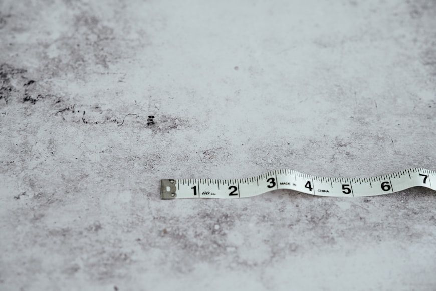
This is a difference most Americans are aware of: most countries use the metric system rather than U.S. customary units, and most use Celsius instead of Fahrenheit. Countries such as the UK and Canada still use some imperial units in everyday life, but they mainly use the metric system. Another measure that confuses foreigners is the particular way ingredients are measured in American recipes, which often use cups, tablespoons, and teaspoons rather than measurements by weight.

Fun fact: The only other countries that use the Imperial system officially are Liberia and Myanmar.

2
Sales tax

Image: Zoshua Colah

Do you find having to calculate sales taxes annoying? That’s a unique American experience. In the majority of the world, the price you see is the price you pay , because it has the sales tax already added.

Why is it different in America? Sales taxes vary across states , so retailers find it easier to showcase the base price and then calculate the total at checkout.

3
Cutlery use

Image: Anna Kumpan

Many Americans abroad are surprised by the realization that not everyone uses a knife and fork in the same way they do . In fact, no one else does. While most Americans have learned the American style —also called the zig-zag or fork switching method— that involves using the fork in the left hand for cutting and then changing it to the right to pick up the food, European and Latin American countries don’t do this . It might seem like a small difference, but it completely changes the way you eat.

4
Iced drinks

Image: Battlecreek Coffee Roasters

Do other countries not have ice? They do, but they don’t necessarily assume everyone will want it. While serving water and other beverages with ice is customary in America, in many other countries, you need to request it —even during the hottest of summers.

But even if you get ice, many times you will need to specify the amount : the same drink that would be filled with ice cubes in America might come to you with just two or three cubes elsewhere.

5
Date formatting

Image: Waldemar

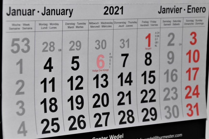
The U.S. is not completely alone on this one, but there’s a difference big enough to be worth mentioning. The standardized way of recording the date in America is month-day-year , a convention also followed by some Caribbean and Asian countries. But in the rest of the Western world, the conventional format is day-month-year , which can lead to confusion for Americans. In most Asian countries , the most commonly used format is year-month-day .

6
The word ‘American’

Image: frank mckenna

In the English language, ‘American’ is the only way to refer to people with U.S. citizenship . Other words, such as ‘Usian’ or ‘Unitedstatian’ have been proposed, but never stuck. This is why many Americans are surprised when other countries —Latin American countries in particular— use ‘American’ for anyone in the American continent , or continents, another big difference. In most European and Latin American countries, there is a different word for U.S. citizens, such as the Spanish ‘estadounidense’ or the Portuguese ‘estadunidense’ .

7
Moving out at 18 years old

Image: Dina Badamshina

This one is not so black and white, but more like a general tendency. Compared with most of Europe, Latin America, and Asia, Americans give serious consideration to the possibility of moving out after high school. Not everyone does, and not everyone can afford it, but it's fairly common.

In other countries, young adults generally move out if their job or education requires it , but they tend to stay at home a few more years if they can.

8
Driving a car as a teenager

Image: Dan Gold

America is quite car-centric , especially if you live outside of the big cities. While not everyone can afford to have a personal car —even a second-hand one—, it is common for 16 and 17-year-olds to legally drive their parents’ car, or save for their own.

In the rest of the world, the chances of high schoolers driving themselves to school are much lower, as most countries don’t allow underage kids to get a driving license .

9
Solo cups

Image: Artem Beliaikin

Do plastic cups exist outside of the U.S.? They do, but they are not as iconic or as widely used as Solo cups, introduced in the 1970s as a disposable but sturdy cup for parties and events. Many foreigners visiting America are surprised when they realize that solo cups are a real thing , and not something that just happens in movies.

10
Filing taxes

Image: Olga DeLawrence

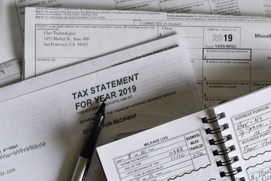
Taxes in the U.S. are not that different from taxes in other countries, except for how they are filed . During tax filing season, thousands of Americans direct their efforts to ensure they have properly reported their income and that their return will match the IRS’s data.

In other parts of the world, however, the one responsible for calculating and filing taxes is the government , while citizens merely corroborate that everything is in order.

Explore more American facts

Choose your favorite category!

General
General

As American as apple pie—the very best America has to offer!

Culture
Culture

Delve into the astounding richness of American lore.

Geography
Geography

Hop in and explore vast and diverse American landscapes.

History
History

Discover the key moments that shaped the United States.