Long-held misconceptions
Maine isn't where we thought it was, and 9 other truths about states
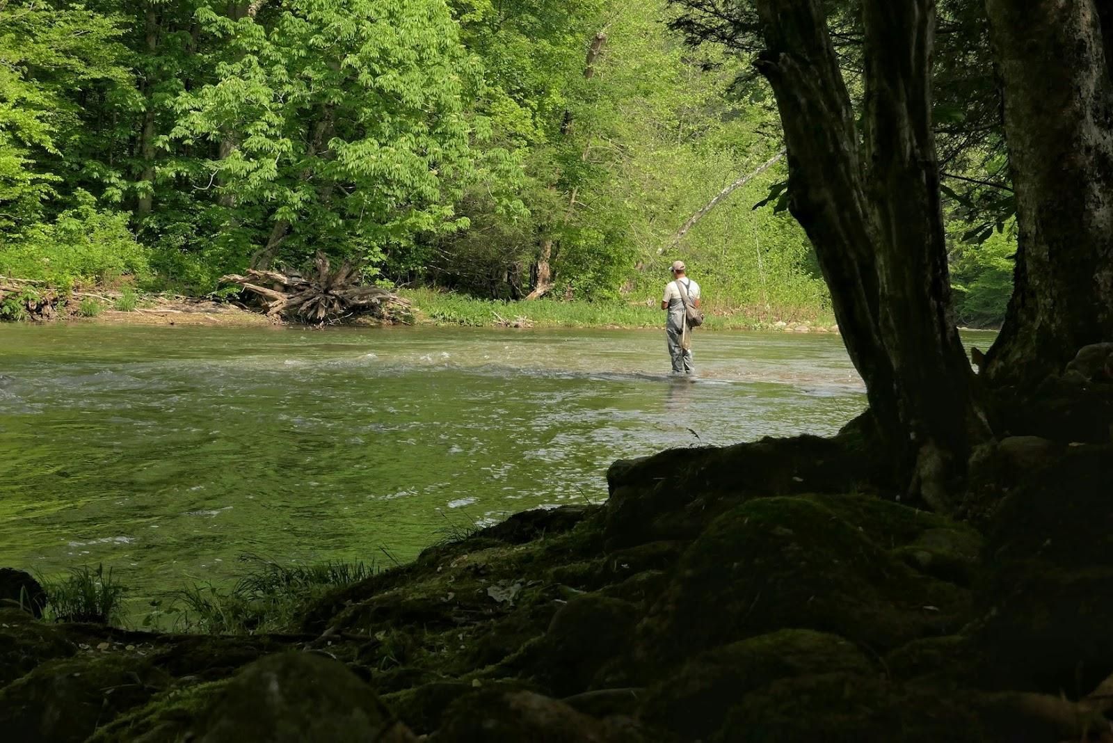
Image: Megan Clark
How can Canada be south of the United States? Is the Statue of Liberty really in New York? It turns out many of the "facts" Americans grew up learning in school aren’t completely true. From states that aren’t where you think they are to maps that wildly distort size and distance, these 10 geography myths will make you see the United States in a totally different way.
1
Where is the Statue of Liberty really located?
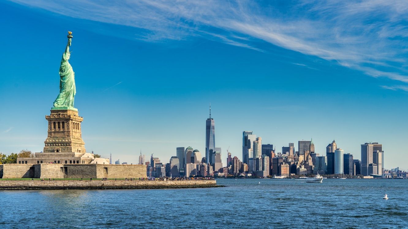
Most of us have always associated the Statue of Liberty with New York City. It’s on postcards, movies, souvenirs, and more. But technically, the famous statue stands in New Jersey’s waters.
The statue itself sits on Liberty Island, which legally belongs to New York, even though it’s actually closer to Jersey City than to Manhattan. Under an 1834 agreement between the two states, New York kept ownership of Liberty and Ellis Islands, while New Jersey retained control of the surrounding waters. So while the Statue of Liberty is officially New York property, it’s technically sitting on New Jersey’s side, something that still surprises many Americans today.
2
Canada is not always north
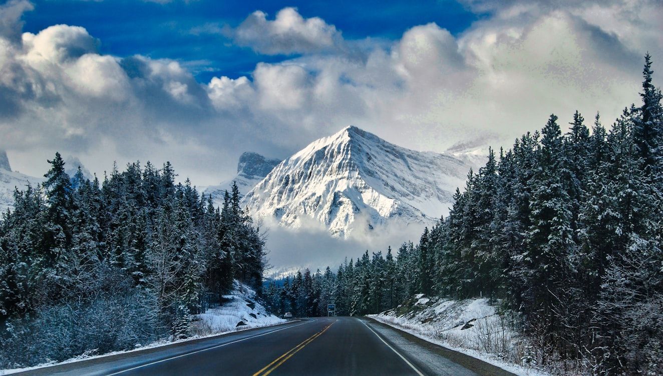
Because of the way maps have always looked to us, most Americans grow up thinking you always have to travel north to reach Canada; we even call it "our neighbor to the north." For almost everyone, that’s true… except the people in Detroit, Michigan.
Thanks to the curve of the Detroit River and the city’s unusual location, the Canadian city of Windsor actually sits south of Detroit. That means when drivers cross the bridge from Detroit into Canada, their compass literally points south, even though they’re entering "The Great White North."
3
Daylight Saving Time isn't for everyone

Most Americans are used to Daylight Saving Time: clocks move forward one hour on the second Sunday in March and back again on the first Sunday in November. But two "rebel" states refuse to follow the rest of the country.
We’re talking about Hawaii and Arizona, which stay on Standard Time year-round. Hawaii skips Daylight Saving Time because its tropical location means daylight hours barely change between summer and winter. Arizona, meanwhile (except for the Navajo Nation), stopped observing it in 1968 because of the state’s extreme desert heat. During a 1967 trial run, they found that an extra hour of evening sunlight actually increased energy use, so Arizona decided it simply wasn’t worth it.
4
Maps distort Alaska
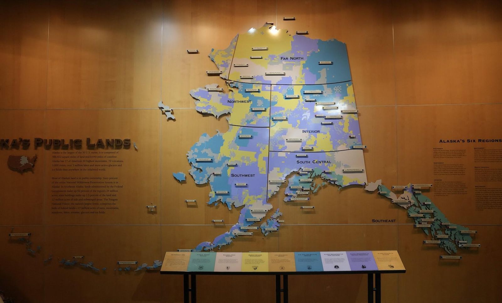
For generations, the maps hanging in American classrooms have tricked us about the true size of Alaska.
On many US maps, Alaska is squeezed into a small box in the corner, making it seem only slightly bigger than states like Texas or California. But the reality is shocking: Alaska covers about 663,300 square miles, making it so enormous that you could fit Texas, California, and Montana combined inside it. The distortion happens because flat maps shrink and compress distant areas to make them fit neatly on the page. In real life, though, "The Last Frontier" is far more vast than we think.
5
Maine is not located where we thought
If someone asked, "Which is the easternmost US state?" most Americans would probably answer Maine without even thinking twice. But surprisingly, that’s not actually correct.
While it’s true that Maine is the easternmost state in the contiguous US, when all 50 states are included, the answer surprises many: the easternmost state is actually Alaska. How is that possible? It turns out that Alaska’s Aleutian Islands stretch so far west that they cross the 180th meridian into the Eastern Hemisphere, meaning part of Alaska is technically farther east than Maine.
6
Is California always west of Nevada?
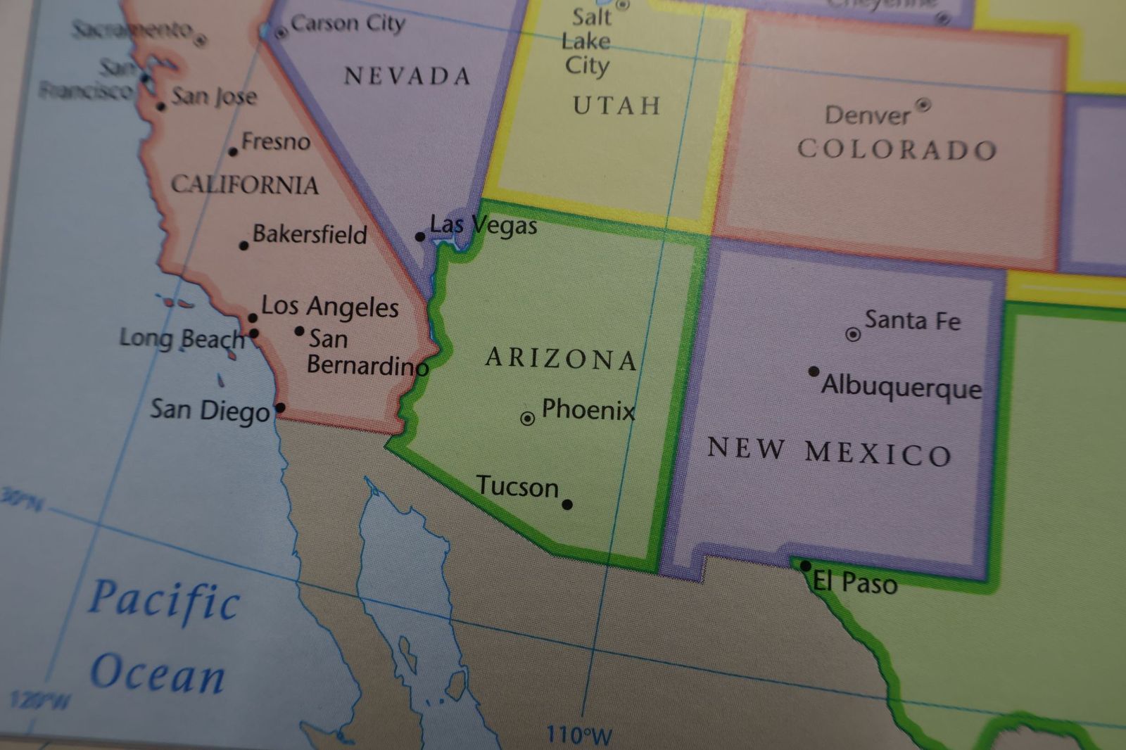
If you were standing in California and needed to travel to Nevada, you’d probably assume you’d have to head east. But geography has a surprise here, too.
Believe it or not, Reno is actually about 86 miles farther west than Los Angeles. But how could a city in Nevada be farther west than a city on the Pacific coast? The answer is in California’s curved coastline. Because the coast bends inward so dramatically, Los Angeles sits farther east than most people realize, while Reno stretches surprisingly far west.
7
Not all deserts are hot
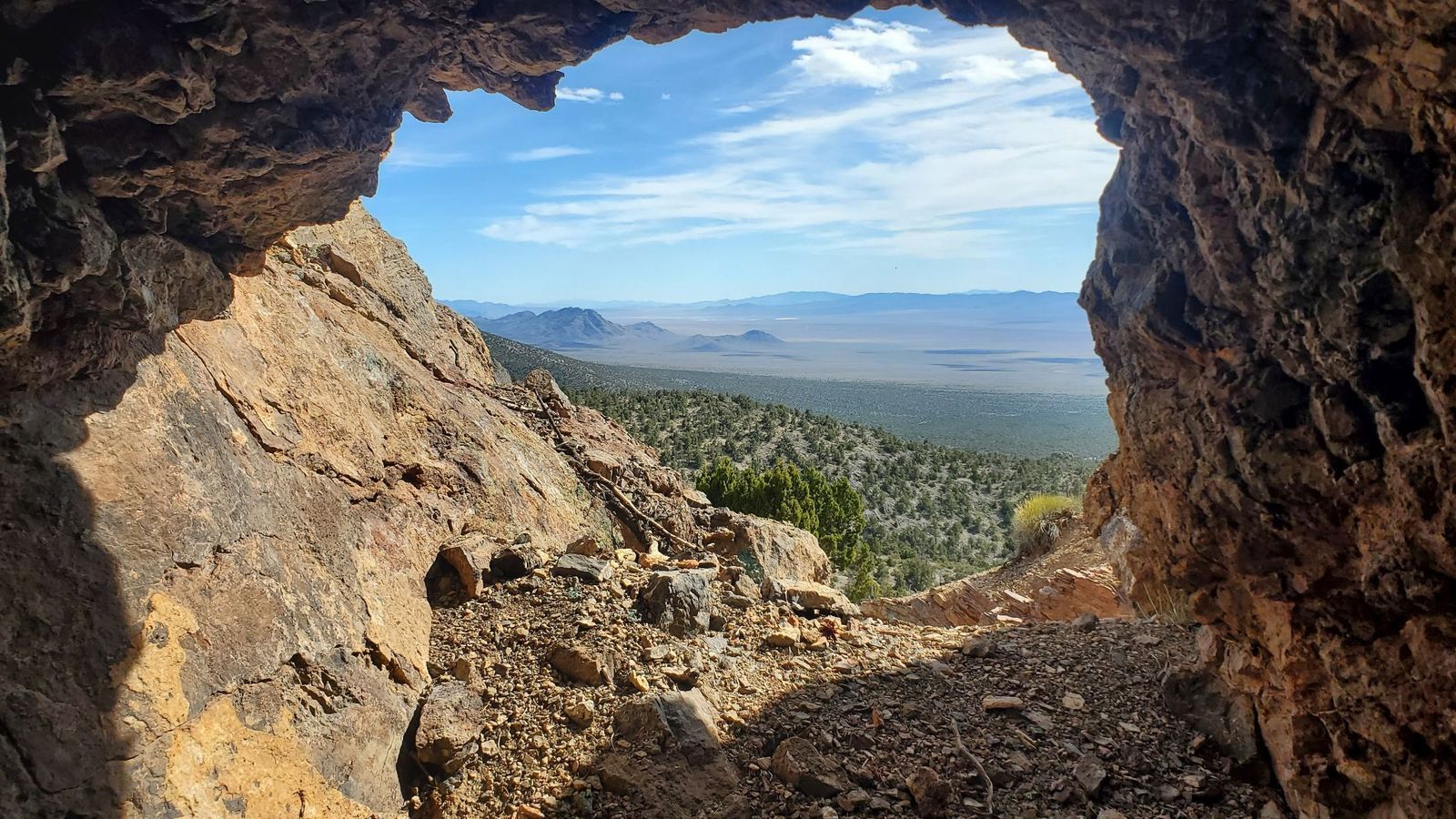
When most Americans picture a desert, they imagine blazing sun and unbearable heat, but not all deserts in the US fit that image.
The huge Great Basin Desert, which stretches across much of Nevada and parts of Utah, California, Oregon, Idaho, and Wyoming, is classified as a cold desert. In fact, during winter, its temperatures can plunge below freezing, with heavy snowfall covering the landscape. The lowest official temperature ever recorded in the area was on January 8, 1937: an incredible -50 °F.
8
Almost all of the US is privately owned
Many of us grew up assuming that most land in the United States is privately owned. And in much of the East, that idea is accurate. But for the West, the reality is different.
In the Western United States, about 47% of the land is owned by the federal government . And when you add state-owned land, the share of public land becomes even larger. Some states are especially striking: in Nevada, about 87% of the land is public, while in Utah, it’s around 75% .
9
The most densely populated state

The incredible New York City is the most populous in the United States, with about 8.48 million residents, and there’s no doubt about that. Maybe that’s why many people naturally assume the state of New York is also the most populated, but it isn’t.
That distinction actually belongs to the state of California, with around 39.35 million residents , compared to roughly 20 million in New York state, almost twice as large in population.
10
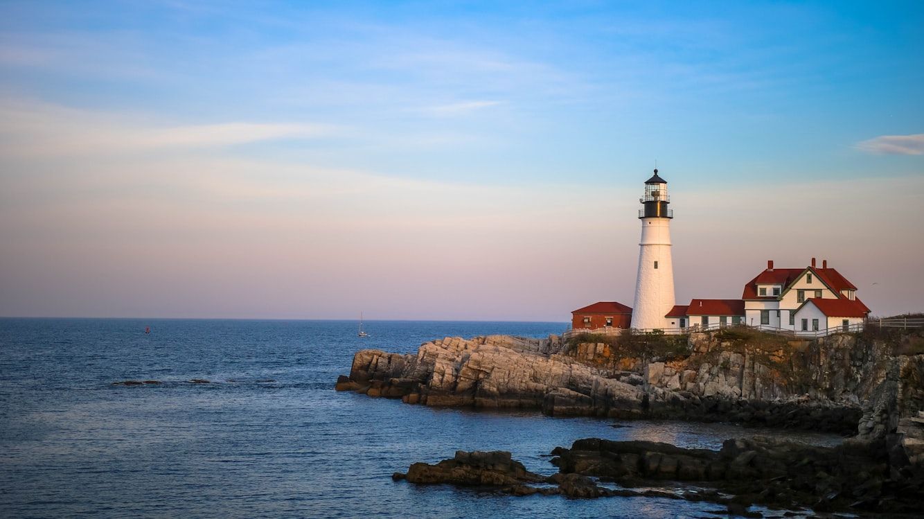
Which state is closest to Africa?
As we’ve seen, flat maps can distort how we think about distance and size. Because of that, many Americans assume Florida is the US state closest to Africa. But that’s actually not true.
Because of the Earth’s curvature, the US state closest to Africa is actually Maine. The northeastern tip at Quoddy Head is about 3,154 miles from El Beddouza, Morocco. By comparison, Florida’s eastern edge (around Singer Island) is roughly 4,085 miles from the African coast near Guerguerat, Western Sahara.