Geography Geography 4 min read

Ol’ Men Rivers

Without these 12 rivers, cities like Las Vegas likely wouldn't exist
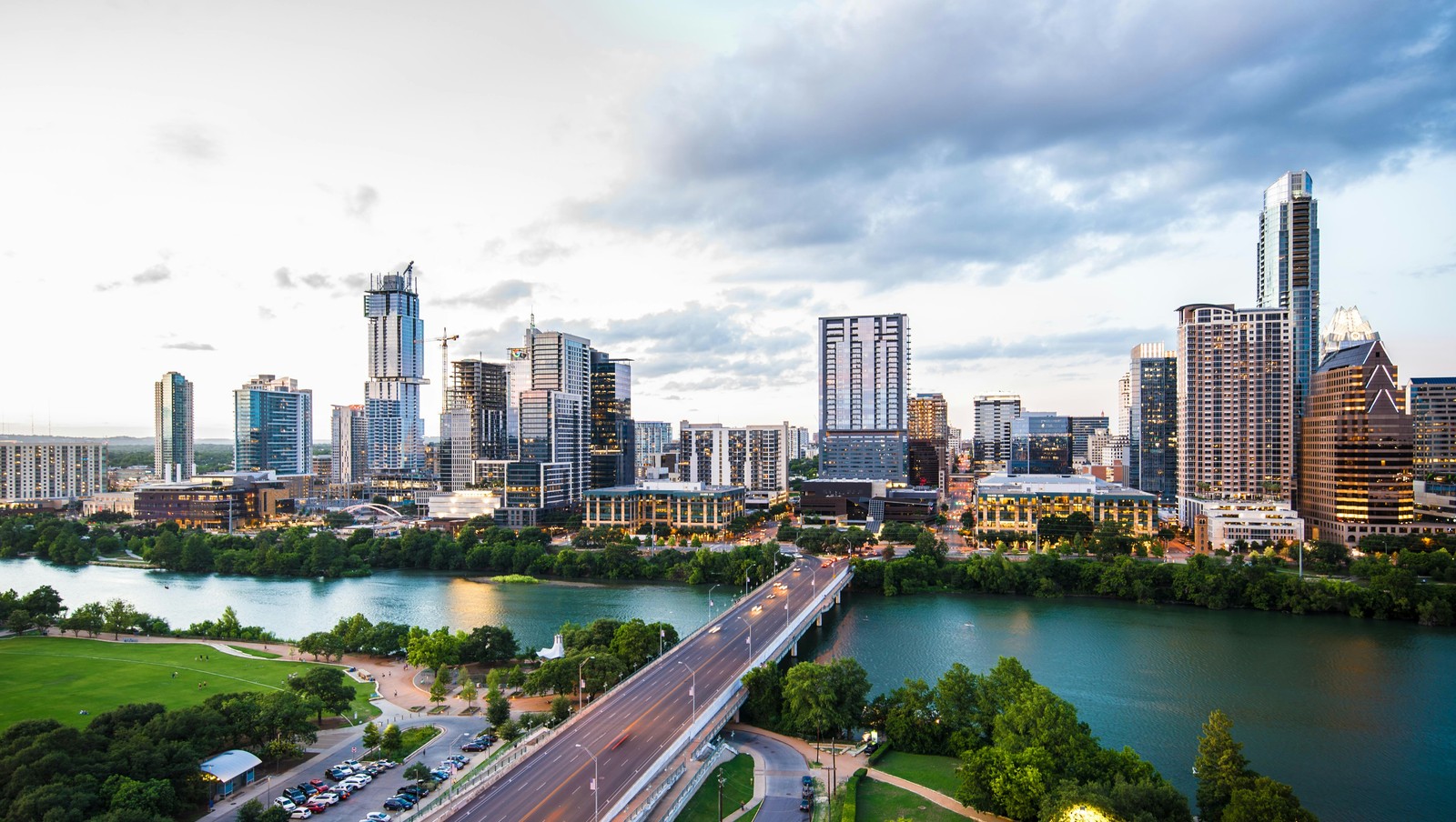
Image: Carlos Delgado

Long before highways and airports, rivers were America’s original transportation network. Settlers, traders, and industries depended on waterways to move goods and people across vast distances. As a result, many of the nation’s largest cities developed where streams offered access to trade, power, and fertile land. From the Mississippi to the Colorado, these 12 famous rivers helped shape the growth of some of the biggest urban centers.

1
Mississippi River (New Orleans)
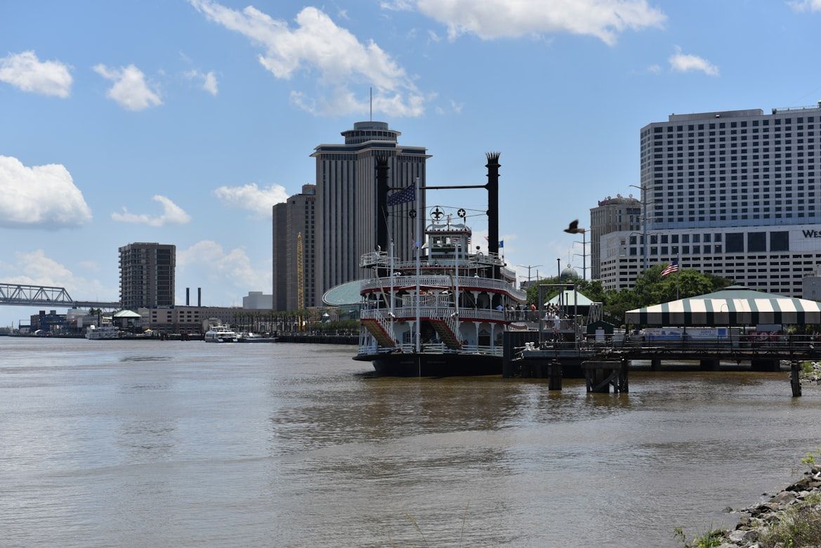
Image: Gower Brown

The Mississippi River, which flows through Minnesota, Wisconsin, Iowa, Illinois, Missouri, Kentucky, Tennessee, Arkansas, Mississippi, and Louisiana, has long served as the backbone of commerce in America. Winding through 10 states, it connects farms, factories, and cities across the country .

New Orleans flourishes at its mouth, which turned it into one of America’s busiest ports. Goods from the Midwest, like grain, cotton, and timber, traveled downriver to ships bound for global markets.

2
Hudson River (New York City)
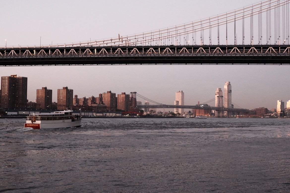
Image: Melanie Celine

The Hudson River transformed New York City into the East Coast's leading port, as its deep waters allowed ocean-going ships from the Atlantic to travel far inland .

When the Erie Canal opened in 1825, it linked the Hudson River to the Great Lakes near Waterford, New York, about 150 miles north of the city. This created a direct trade route between the Midwest and the Atlantic, cementing New York’s economic dominance.

3
Chicago River (Chicago)
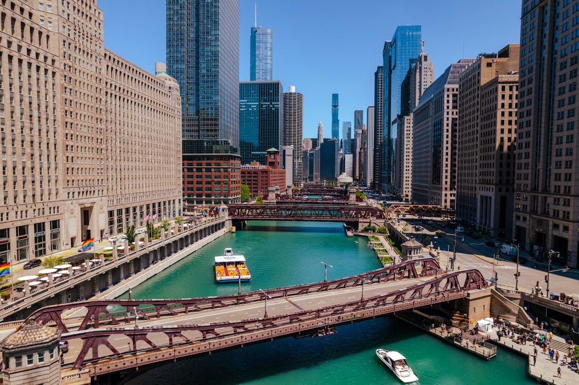
Image: Zander Betterton

Chicago’s rise began with its strategic location along the Chicago River, a short but crucial waterway connecting Lake Michigan to inland routes .

With the construction of the Illinois and Michigan Canal in 1848, Chicago became the gateway between the Great Lakes and the Mississippi River basin, fueling explosive growth in trade and industry.

4
Charles River (Boston)
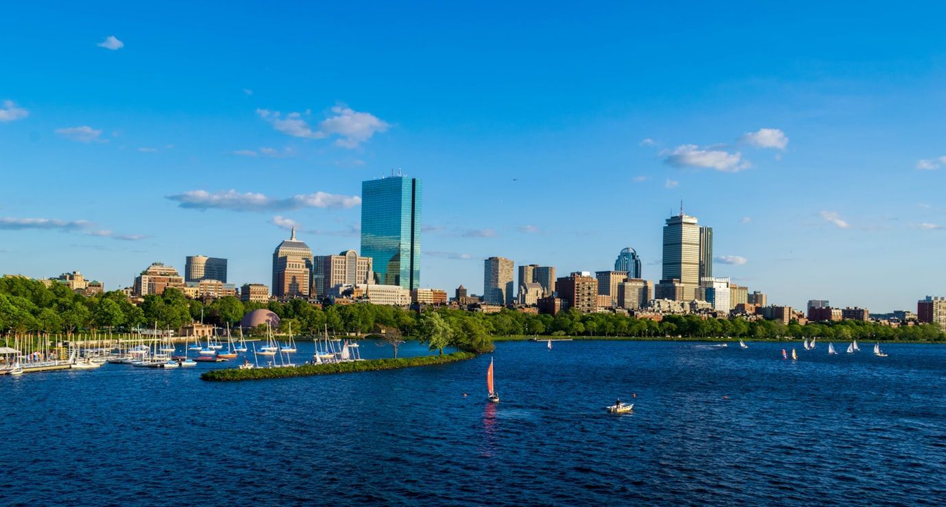
Image: Prateek Pisat

The Charles River played a central role in early American industry. In the early 1800s, mills along its banks harnessed the river’s power to run machinery .

The nearby textile mills in Waltham helped pioneer the American factory system. The Boston Manufacturing Company mill was the first fully integrated textile factory in the U.S., integrating the spinning, weaving, and finishing processes under one roof. The river’s energy helped transform the Boston region into a major industrial center.

5
Delaware River (Philadelphia)
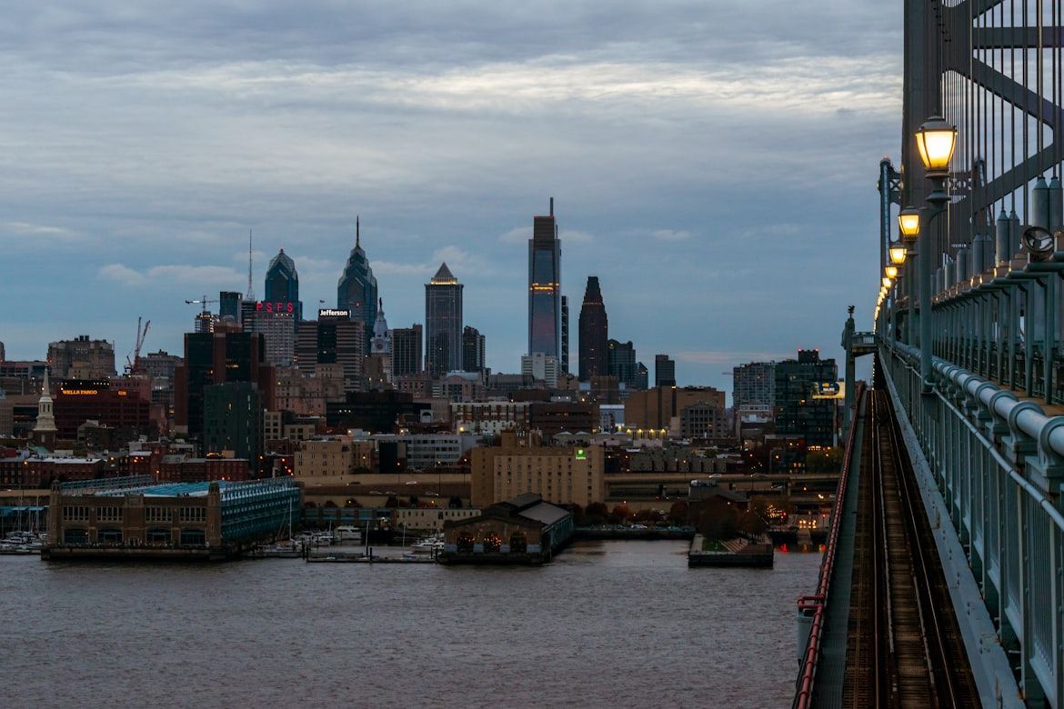
Image: Mick Kirchman

Philadelphia was founded along the Delaware River, which quickly became one of colonial America’s most important trade corridors.

Ships carrying grain, lumber, and manufactured goods traveled between Philadelphia and the Atlantic . The river helped the city grow into one of the largest and most prosperous ports of early America.

6
Potomac River (Washington, D.C.)
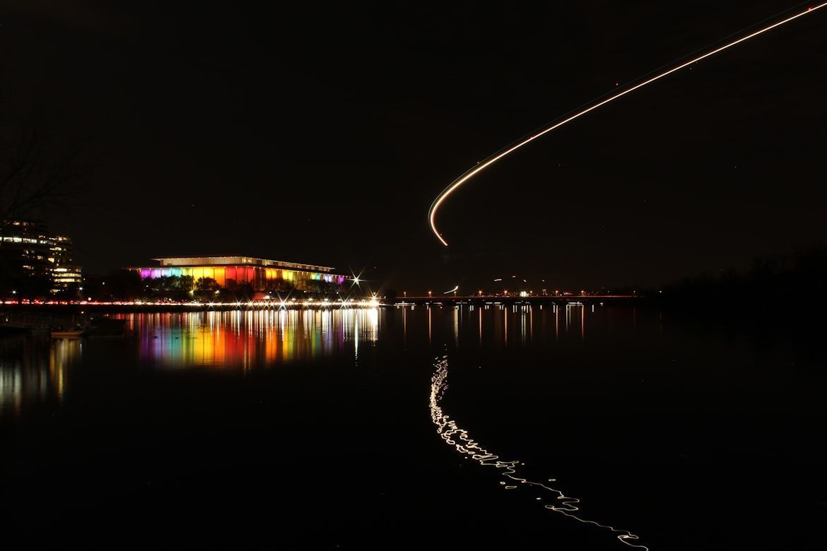
Image: Nicholas Wright

The Potomac River helped determine the location of the nation’s capital, which was established in 1790. This broad waterway was intended to provide access between the Atlantic and the interior of the new country .

Early leaders, like George Washington, hoped the river would become a major commercial corridor linking the young capital to western towns through canals and improved navigation routes.

7
Schuylkill River (Philadelphia)
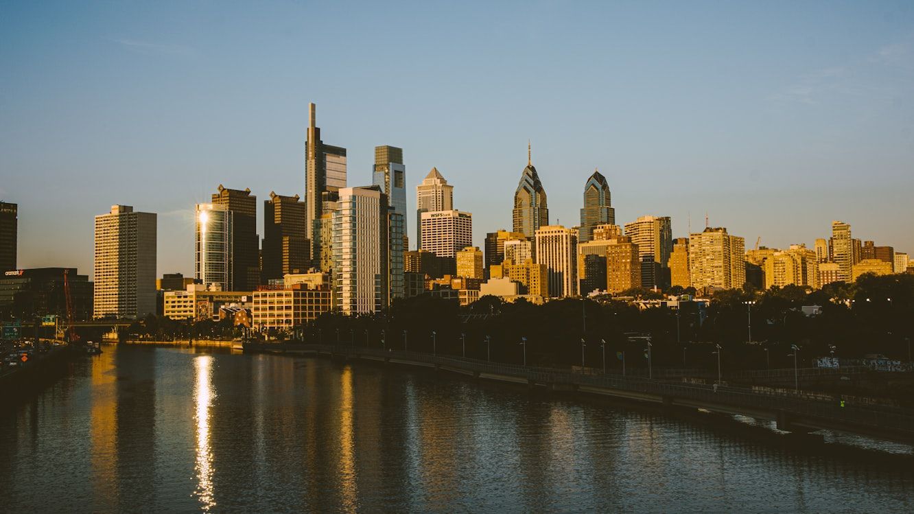
Image: Alejandro Barba

Flowing through Philadelphia, the Schuylkill River powered much of the city’s early industrial growth. Its waters supported mills and factories throughout the 19th century .

The Schuylkill Canal also carried vast shipments of Pennsylvania anthracite coal, providing the fuel that powered factories and heated homes across the growing nation.

8
Ohio River (Pittsburgh)
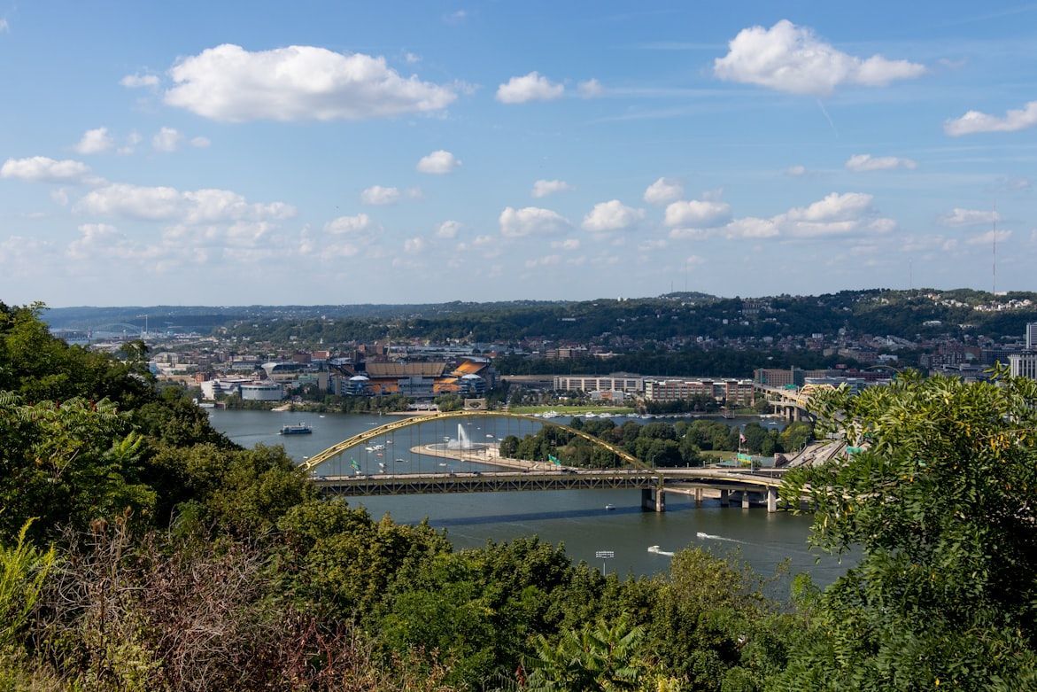
Image: Carson Kaskel

The Ohio River begins at Pittsburgh, where the Allegheny and Monongahela rivers meet. This strategic location turned the city into a gateway to the expanding American frontier .

Beginning in the 1810s, steamboats carried settlers and goods downstream to cities like Cincinnati and Louisville, helping Pittsburgh grow into a major industrial and transportation center.

9
Missouri River (Kansas City, Missouri)
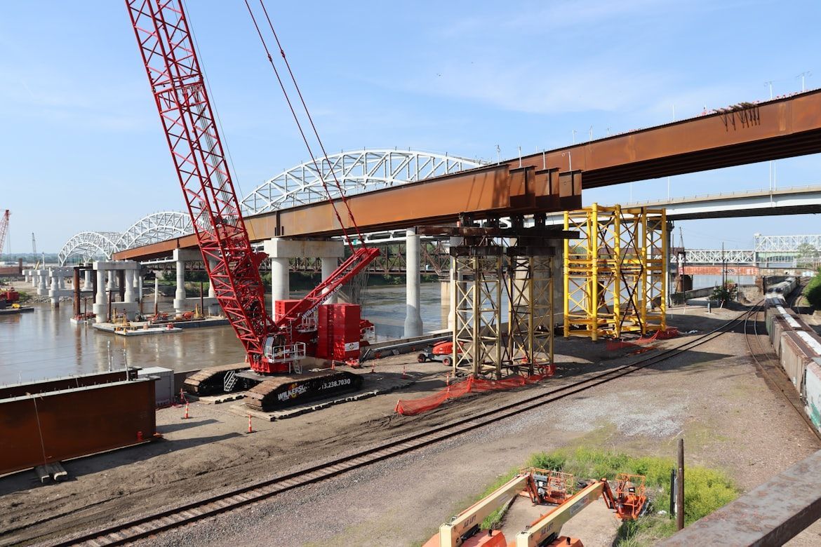
Image: Nathan Sack

The Missouri River served as a key launching point for westward expansion during the 19th century.

Kansas City grew where river trade intersected with overland trails heading west , including the Santa Fe and Oregon Trails. The river made the city a critical supply hub for pioneers and traders.

10
Detroit River (Detroit)
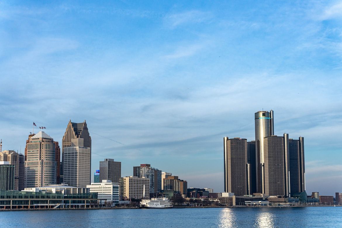
Image: GV Chana

The Detroit River links Lake Erie and Lake St. Clair, forming a vital passage in the Great Lakes shipping system .

Detroit developed along this busy corridor, where ships transported iron ore, timber, and other raw materials. These resources helped fuel the city’s rise as a manufacturing center.

11
Cuyahoga River (Cleveland)
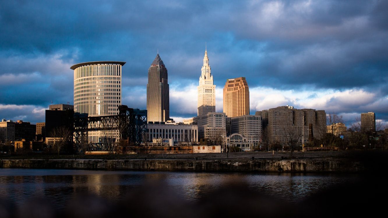
Image: DJ Johnson

The Cuyahoga River winds through Cleveland before emptying into Lake Erie, creating a natural harbor that attracted industries .

Steel mills, shipyards, and refineries lined its banks during the late 19th and early 20th centuries, turning Cleveland into one of the Midwest’s most important industrial cities.

12
Colorado River (Las Vegas)
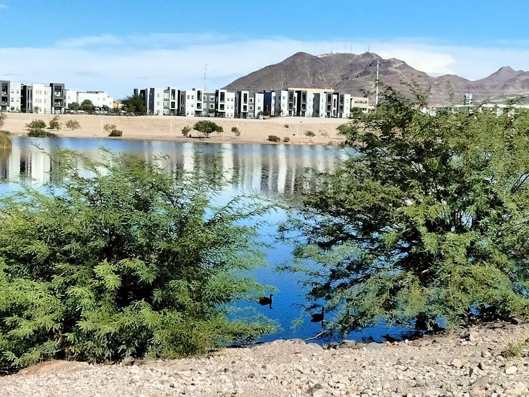
Image: Veronica Ascencio

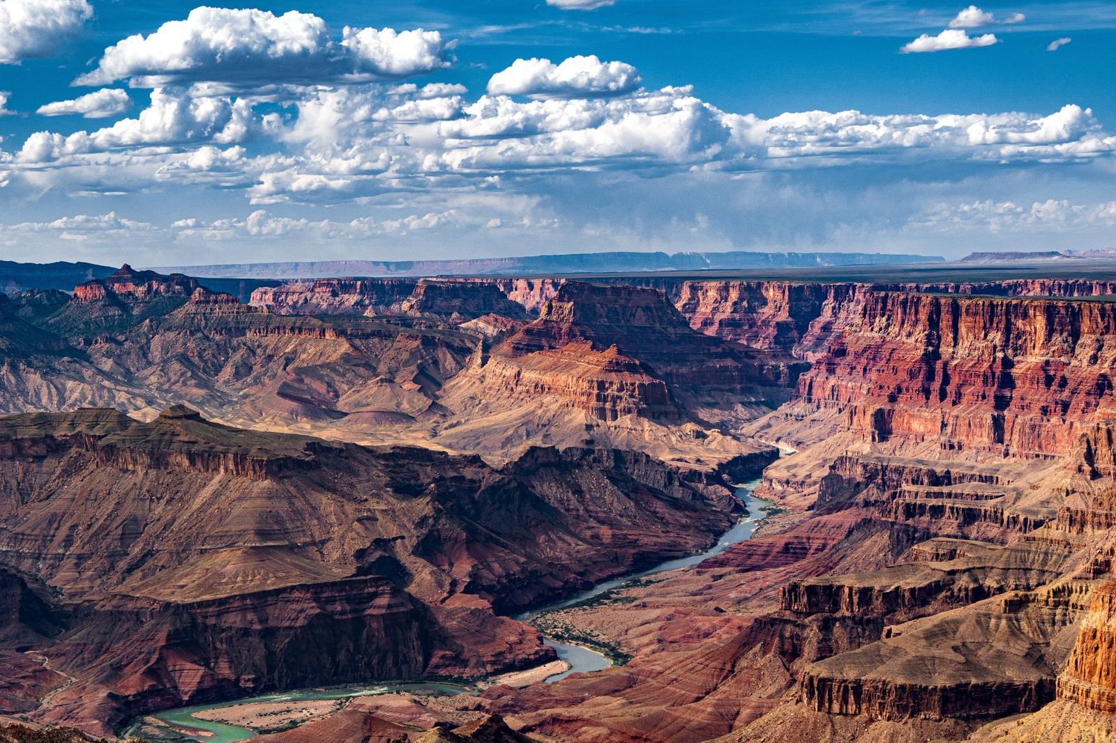
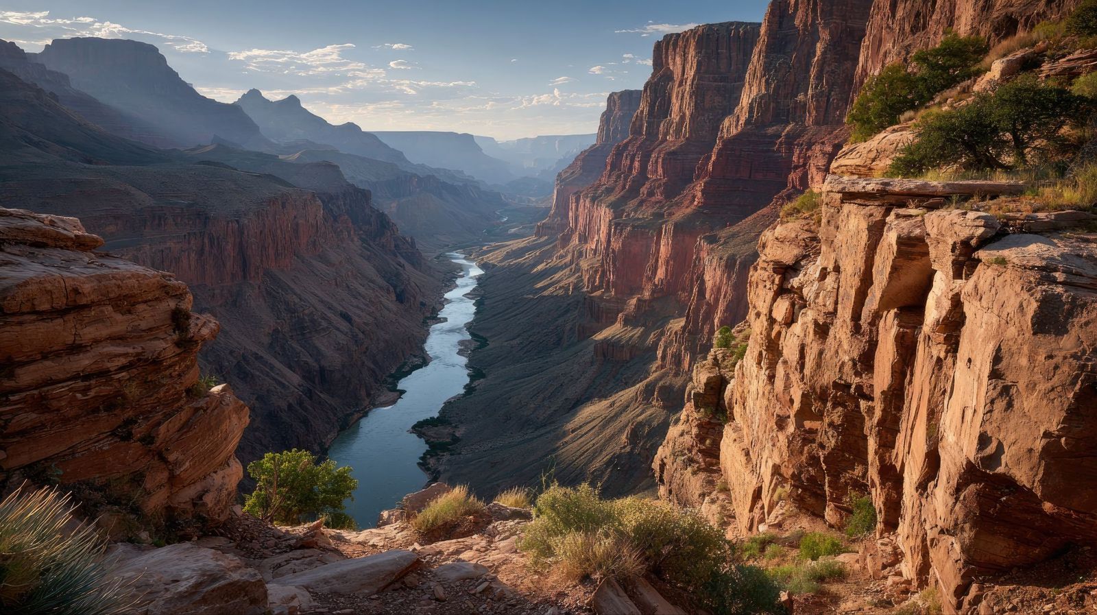
Though best known for carving the Grand Canyon, the Colorado River also helped make the rise of modern cities in the desert Southwest possible .

Projects like Hoover Dam and Lake Mead provided water supplies and hydroelectric power that supported the rapid growth of nearby cities, such as Las Vegas, in an otherwise arid region.


General General 4 min read

The secrets of the greenback

Dollar bills are green for this reason

Image: Pepi Stojanovski

The U.S. dollar is one of the most powerful and recognizable currencies in the world, but its physical form is unique for many other reasons . From its composition to its symbols, dollar bills and coins are carefully designed to combine history, security, and convenience. Let’s explore our national currency!

1
What are bills made of?

Image: Viacheslav Bublyk

Unlike other currencies, dollar bills are not made of paper or plastic. U.S. dollar bills are made from a special fabric blend composed of 75% cotton and 25% linen. This mix makes the bills extremely durable and resistant, and they can be folded about 4000 times before tearing.

2
What bills are valid?

Image: U. S. Government, The Bureau of Engraving and Printing, Public domain, via Wikimedia Commons

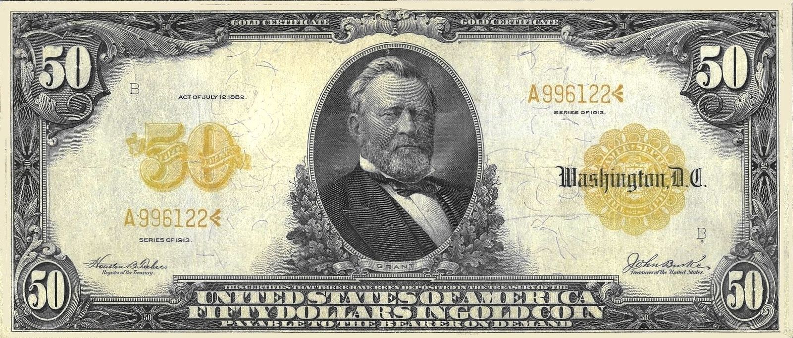
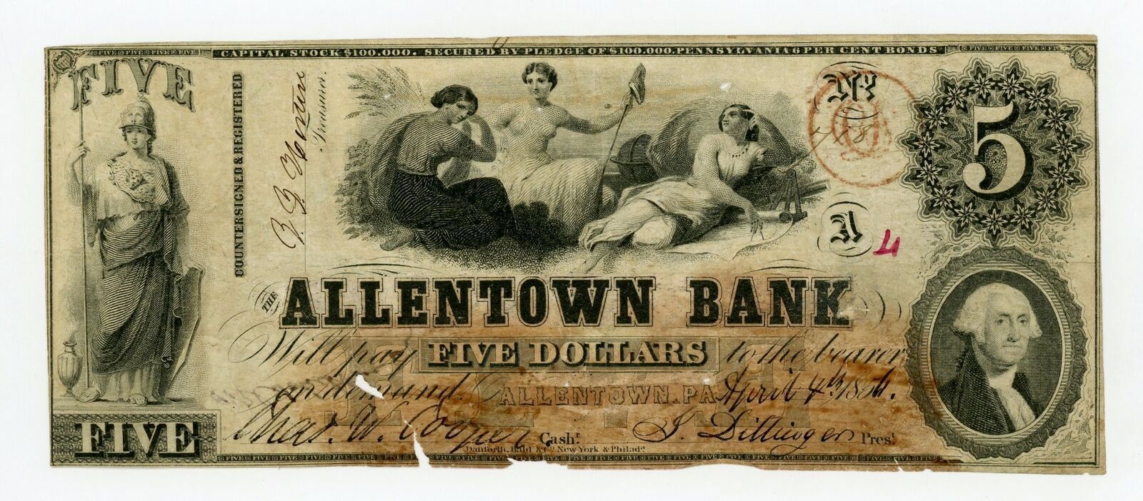
Any U.S. dollar bill that was legally printed is valid, no matter how old, as American currency does not have an expiration date. While some bills might not be accepted by businesses of foreign exchange services due to their condition or if they are a discontinued version of the bill, the bills themselves are still valid, and American banks will accept them, though they might take them out of circulation.

3
American leaders

Image: Lukasz Radziejewski

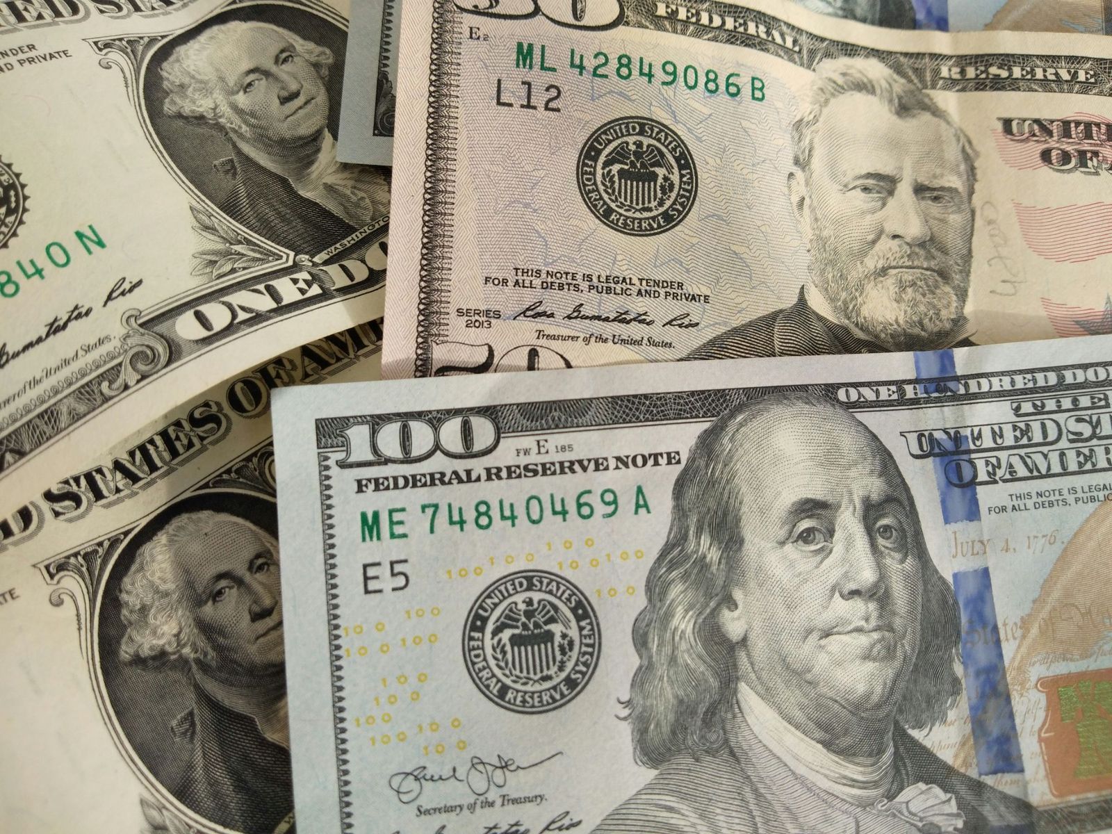
Five bills have a depiction of an American president. The exceptions are the $10 bill, with Alexander Hamilton on the front, and the $100 bill, with Benjamin Franklin. The $1 bill, depicting George Washington, is extremely symbolic: several elements are repeated 13 times as a nod to the thirteen colonies, and it showcases the Bald Eagle and the Eye of Providence as a sign of God watching over America.

4
A change in size

Did you know that dollar bills used to be so big that they were nicknamed "horse blankets"? Original dollar bills were 7.4 × 3.1 inches. In 1929, the Treasury Department reduced the size of bills to 6.14 × 2.61 inches to reduce production costs and materials. Old bills, though still valid, are worth much more as collector items.

5
Uniformity

Image: Avinash Kumar

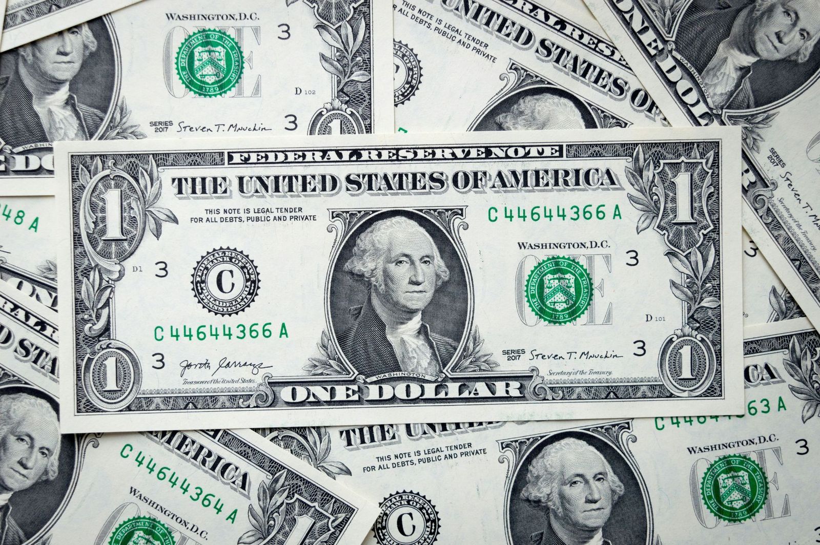
Besides their value and design, all dollar bills have the same size (6.14 × 2.61 inches), color, and weight (1 gram) , which sets American currency apart from other countries where bills of different values are differentiated by size, color, or both. Why doesn’t the U.S. implement differences among bills? The cost of adapting vending machines, bank drawers, and ATMs to new bill sizes would cost billions of dollars.

6
Hard to copy

Image: United States Treasury Department, Public domain, via Wikimedia Commons

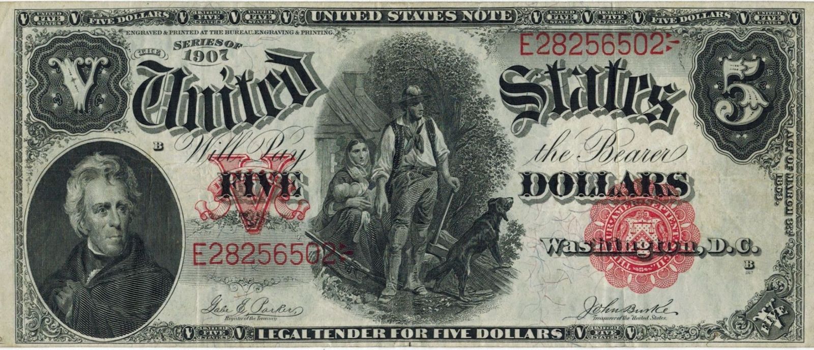
Originally, dollars were not green, but black. As time passed, green ink was favored, as it was cheap and did not fade as much as black. The new color also prevented people from using black-and-white cameras to create counterfeit money. Currently, dollar bills are predominantly green, but newer versions also include extra colors, such as pink, orange, or purple.

7
A $100,000 bill?

Image: The original uploader was Durova at English Wikipedia., Public domain, via Wikimedia Commons

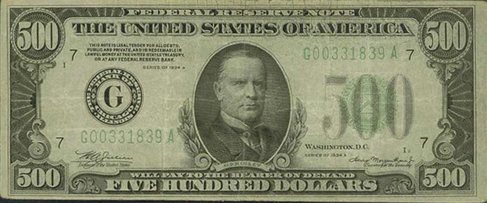
Have you ever seen a $500 or 1,000 dollar bill? What about a $100,000? Up until 1945, the U.S. Treasury printed $500, $1,000, $5,000, $10,000, and $100,000 notes , in addition to the values currently in use. These higher-value notes were mainly intended for bank and government use, but were sought by criminals as they made it easier to hide large amounts of money. Even though they were officially discontinued in 1969, these notes are still valid, though rare, and they have a high worth as collector's items.

8
No numbers

Image: Quilia

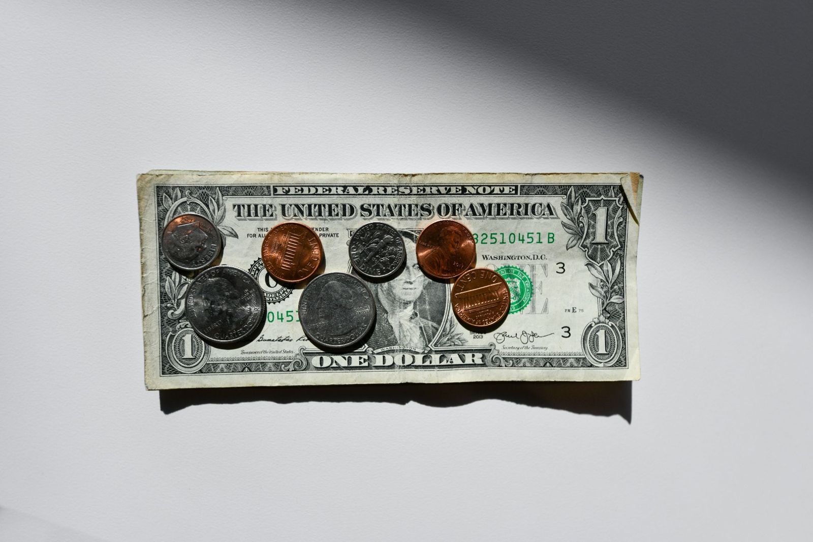
Unlike bills, American coins have different sizes and colors related to their value. Originally, gold, silver, and copper were used for coins, but modern coins are made of copper, zinc, or nickel. Besides their size and design, the value of each coin is printed in letters, not in numbers , alongside depictions of American presidents.

9
Liberty for all (the coins)

Image: Money Knack

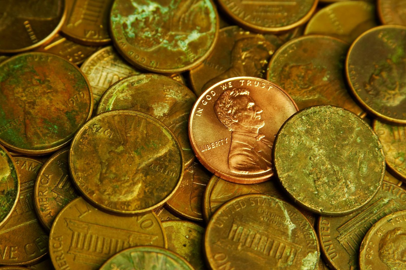
By law, all American coins must include six specific details : the word ‘Liberty’, the name of our country, the national motto "In God We Trust", the oldest American motto "E Pluribus Unum", the value of the coin, and the year. Each coin also includes a mint mark that shows where it was made: "P" for Philadelphia, "D" for Denver, "S" for San Francisco, and "W" for West Point.

10
A global currency

Image: Logan Voss

The American dollar is one of the most powerful currencies in the world, acting as a backbone for international trade and finances. It is estimated that two-thirds of the physical dollars in circulation are outside American territory. Besides the U.S. and its territories, eight sovereign nations have the U.S. dollar as their official currency, with several more accepting it as legal tender.

Geography Geography 5 min read

Stories carved by the Colorado River

The missing pieces of the Grand Canyon: 10 incredible facts

Image: jesus esteban

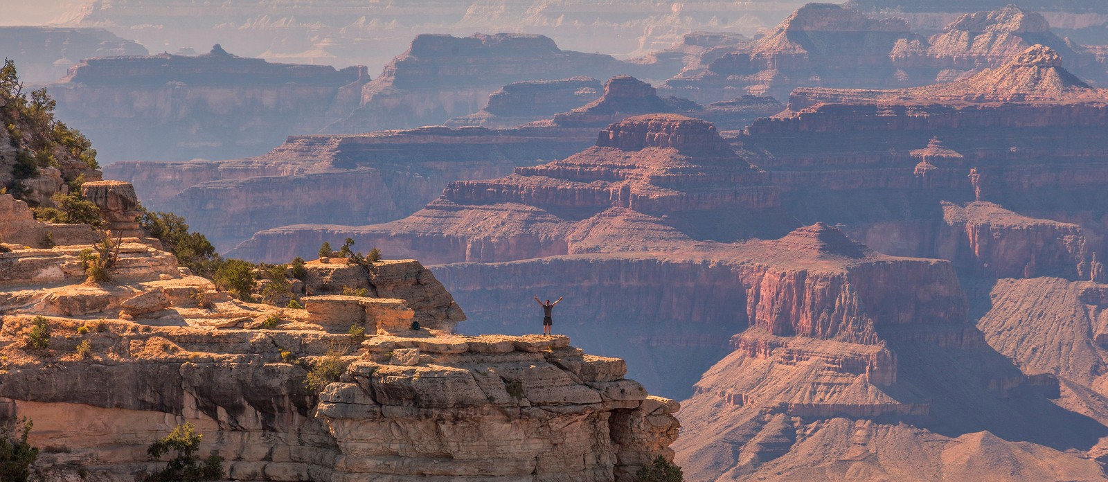
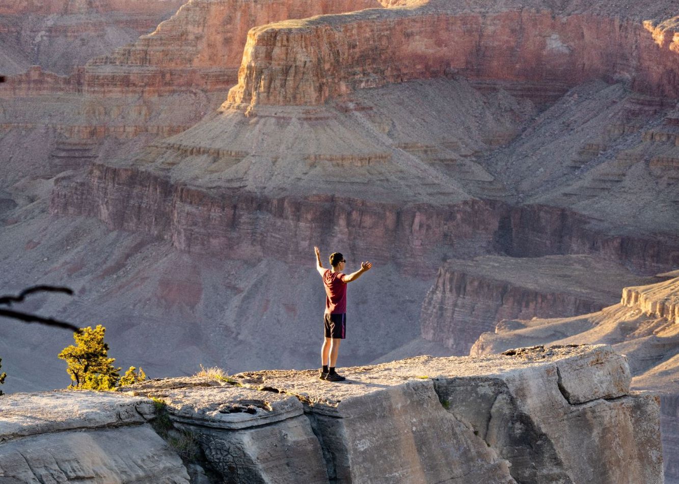
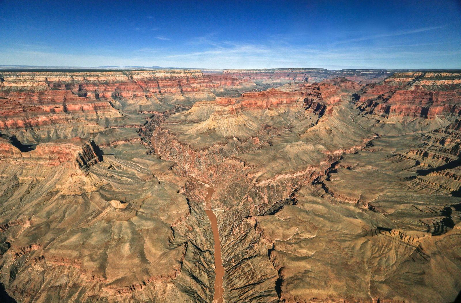
The Grand Canyon is bigger than Rhode Island. It's deeper than four Empire State Buildings stacked end to end. Its rocks are older than dinosaurs. But those stats alone don’t quite capture its immensity — and are hardly the most shocking. There are nuclear shelters, hidden villages, and billion-year mysteries involved. Read on to learn 10 lesser-known facts about the Grand Canyon.

1
There's an unexplained billion-year gap

Image: John Graybosch

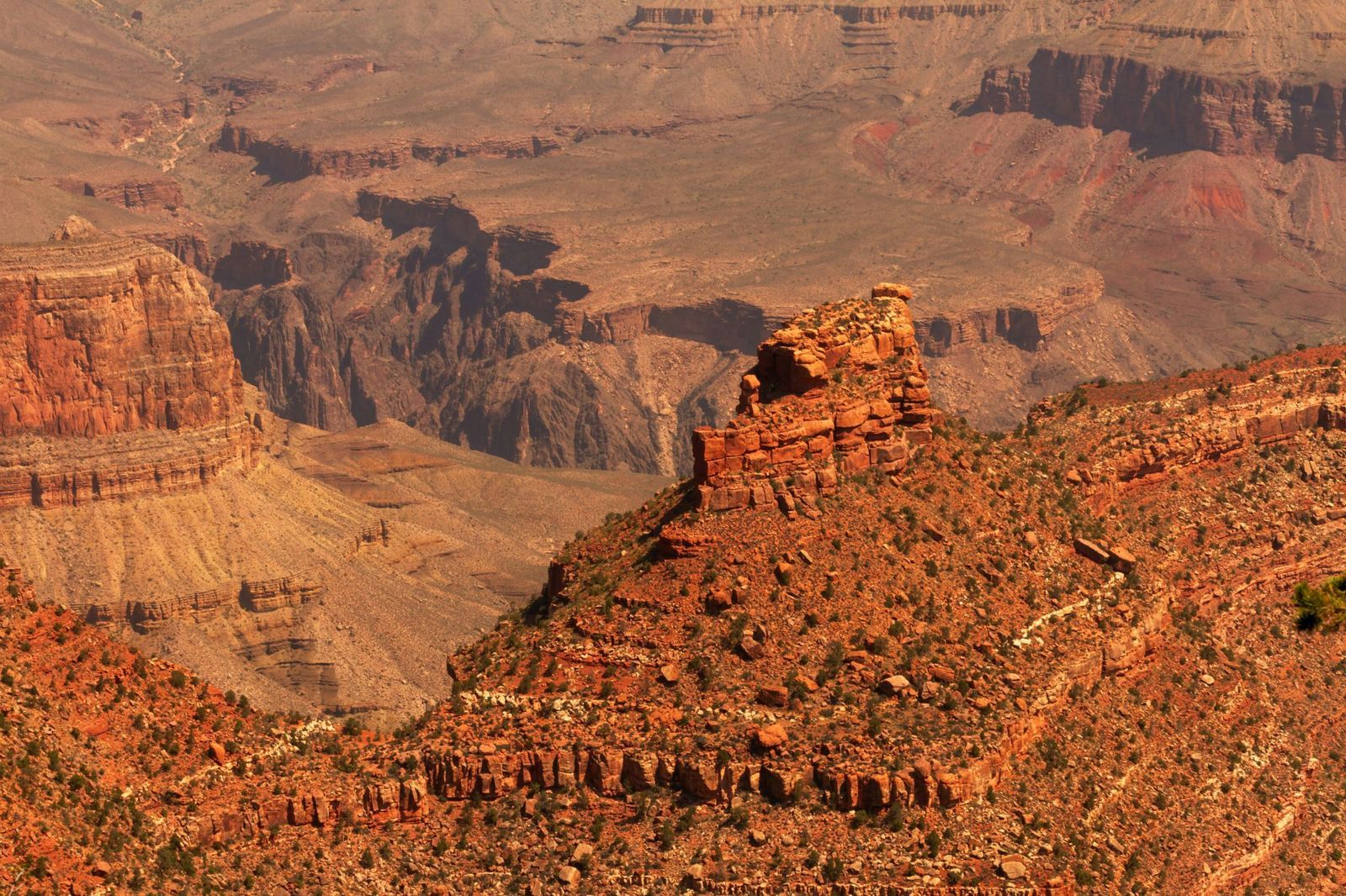
Look closely at the canyon walls, and you'll notice something strange: a clean, sharp line where ancient rock simply stops, and a much younger layer begins directly above it.

This geological puzzle is called the "Great Unconformity," and it represents over a billion years of rock layers that are simply absent , as though that stretch of time never happened. In some spots, rock dated 1.8 billion years old sits directly beneath rock that is only 520 million years old. Where did the missing billion years go?

The leading theory involves the violent breakup of an ancient supercontinent, but scientists are still piecing it together.

2
During the Cold War, it hid a nuclear fallout shelter

Image: Lauri Väin from Tallinn, Estonia, CC BY 2.0, via Wikimedia Commons

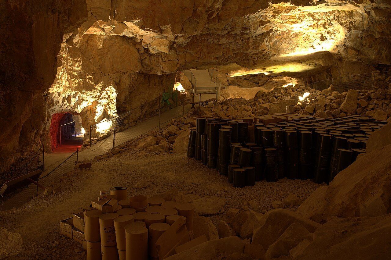
During the Cuban Missile Crisis in 1962, the U.S. government converted part of the Grand Canyon Caverns into a fallout shelter. This dry cave system, more than 200 feet underground, was stocked with enough food and water to sustain 2,000 people. Naturally, it was never occupied, and the supplies were never used.

The caverns have since been transformed into a tourist attraction, with organized tours winding through the same underground chambers that were once intended as a refuge from nuclear war. You can even book a night's stay there.

3
The Federal Aviation Administration was founded after a crash over the canyon

Image: Alexandre Henry Alves

In 1956, two commercial passenger planes collided in midair over the eastern Grand Canyon, killing all 128 people on board both crafts. Rescue teams struggled to reach the wreckage deep inside the canyon, and the extreme heat of the crash had caused the planes' aluminum to fuse with the bedrock. There were no survivors.

The disaster exposed a terrifying truth: the U.S. air traffic control system was dangerously outdated, relying on pilots' visual estimates and rough guesswork from controllers , with no way to separate fast-moving aircraft from slow ones, or instrument-flying planes from those navigating by sight. Congress responded by passing legislation that created both the Federal Aviation Administration (FAA) and the National Transportation Safety Board.

4
A hoax suggested that an Egyptian civilization had lived there

Image: abdurrohman dzar

In 1909, the Arizona Gazette reported that an explorer named G. E. Kinkaid had discovered a vast underground citadel inside the canyon, filled with artifacts linked to ancient Egyptian civilization. He even claimed the expedition had been funded by the Smithsonian.

This story described hieroglyphics on the walls, mummies in the chambers, and relics pointing to a direct connection with the Egypt of the pharaohs. It was incredibly detailed, and it was, of course, a hoax. No evidence for any of Kinkaid's claims ever surfaced.

5
Fewer than 100 people have ever hiked its full length

Image: Abhishek Navlakha

Among the few people who have completed the through-hike of the Grand Canyon is Jen Hogan, the first woman to accomplish it, finishing her journey in 2021–2022.

It’s a full 800-mile length below the rim. The route involves extreme heat, flash floods, near-impassable areas, and stretches with no water or trail whatsoever. Around 60 or 70 people have reportedly accomplished it. This makes it one of the most exclusive feats on Earth.

6
The Grand Canyon's rocks predate dinosaurs entirely

Image: MARIOLA GROBELSKA

Visitors scanning the canyon walls for fossils are often surprised to learn they won't find any dinosaur bones here. The rock layers of the Grand Canyon are simply older than dinosaurs. This fact alone can be shocking: staring at its walls means staring at marine fossils from as far back as 1.2 billion years ago. Some of its caves hold the remains of ancient mammals. The canyon is a window into a world that existed long before the dinosaurs, when the land that is now Arizona lay beneath a shallow sea.

7
The park is bigger than Rhode Island

Image: AussieActive

Numbers alone rarely capture the Grand Canyon's scale, so here's a different approach. Rhode Island covers about 1,214 square miles, and the Grand Canyon National Park spans 1,904 square miles.

The canyon's depth exceeds four Empire State Buildings (which is 1,454 feet) stacked on top of one another. That’s 6,093 feet at its deepest point.

8
But it's not the deepest canyon on Earth

Image: Naeemphotographer2

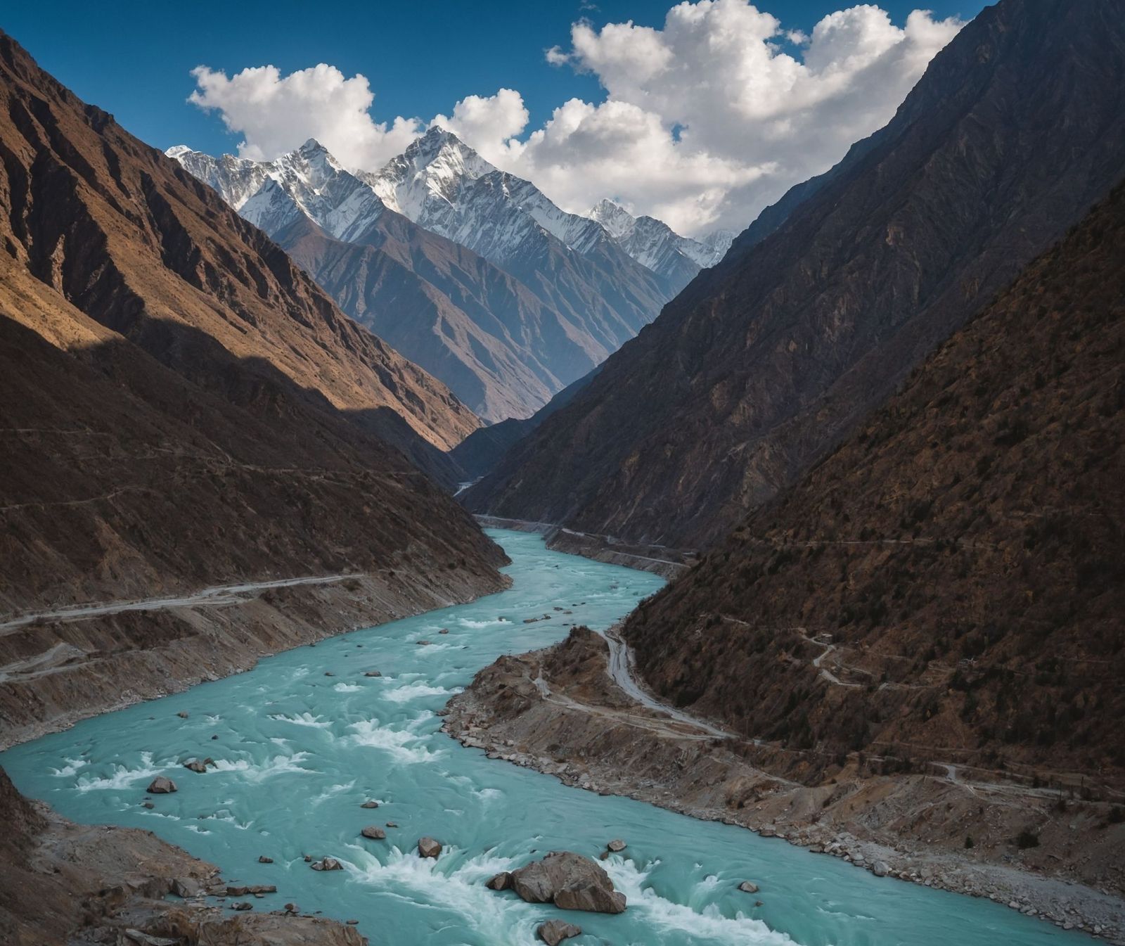
For all its grandeur, the Grand Canyon does not hold the depth record. Pictured above, the Yarlung Tsangpo Grand Canyon in Tibet, China, plunges to 17,567 feet, which is nearly three times deeper. Carved by the Yarlung Tsangpo River as it cuts through the eastern Himalayas, that canyon is so remote and extreme that it remained largely uncharted until the late 20th century.

9
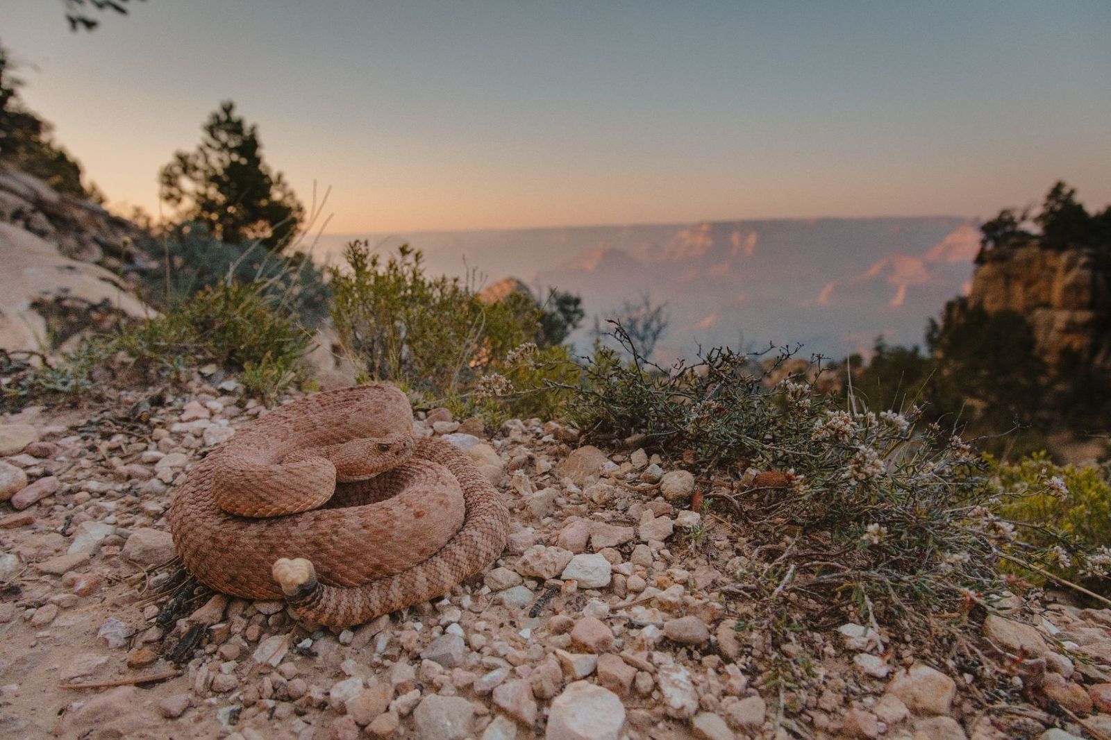
It is home to a pink rattlesnake found nowhere else on Earth

Image: Alexander Wong

The Grand Canyon Pink Rattlesnake has a pinkish-red coloring that matches the canyon's own distinctive rock walls so closely that it's nearly invisible. It is found nowhere else in the world. Officially classified as Crotalus oreganus abyssus , it has darker diamond-shaped markings along its back that deepen the camouflage further.

10
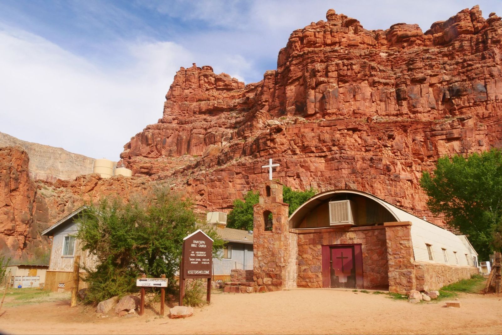
There's a village at the bottom: Supai Village

Image: joojoob27

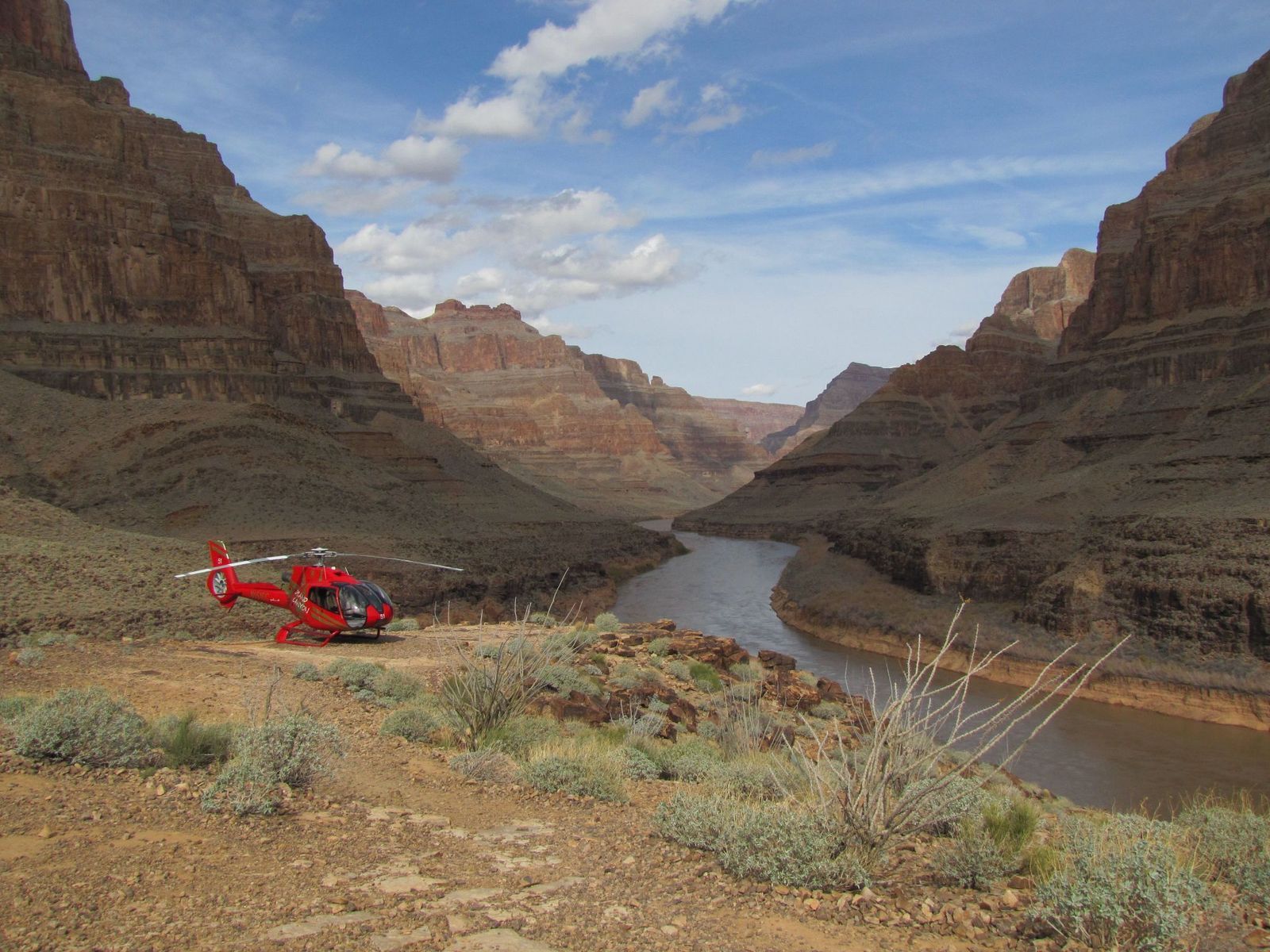
For over 1,000 years, the remote village of Supai has been home to the Havasupai Tribe, the People of the Blue-Green Waters. It is located an eight-mile hike from the rim, but sits roughly 3,000 feet deep inside the Grand Canyon.

The U.S. Department of Agriculture has called it the most remote community in the contiguous United States, and it has no automobiles and no road access. The only ways in are on foot, by mule, or by helicopter. It is also the only place in the United States where the postal service still delivers mail by mule train.

Explore more American facts

Choose your favorite category!

General
General

As American as apple pie—the very best America has to offer!

Culture
Culture

Delve into the astounding richness of American lore.

Geography
Geography

Hop in and explore vast and diverse American landscapes.

History
History

Discover the key moments that shaped the United States.