Geography Geography 5 min read

Stories carved by the Colorado River

The missing pieces of the Grand Canyon: 10 incredible facts
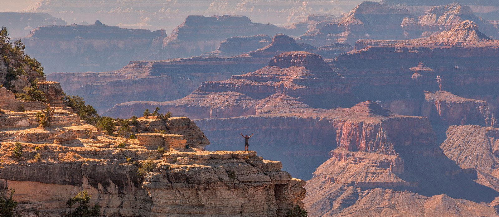
Image: jesus esteban

The Grand Canyon is bigger than Rhode Island. It's deeper than four Empire State Buildings stacked end to end. Its rocks are older than dinosaurs. But those stats alone don’t quite capture its immensity — and are hardly the most shocking. There are nuclear shelters, hidden villages, and billion-year mysteries involved. Read on to learn 10 lesser-known facts about the Grand Canyon.

1
There's an unexplained billion-year gap
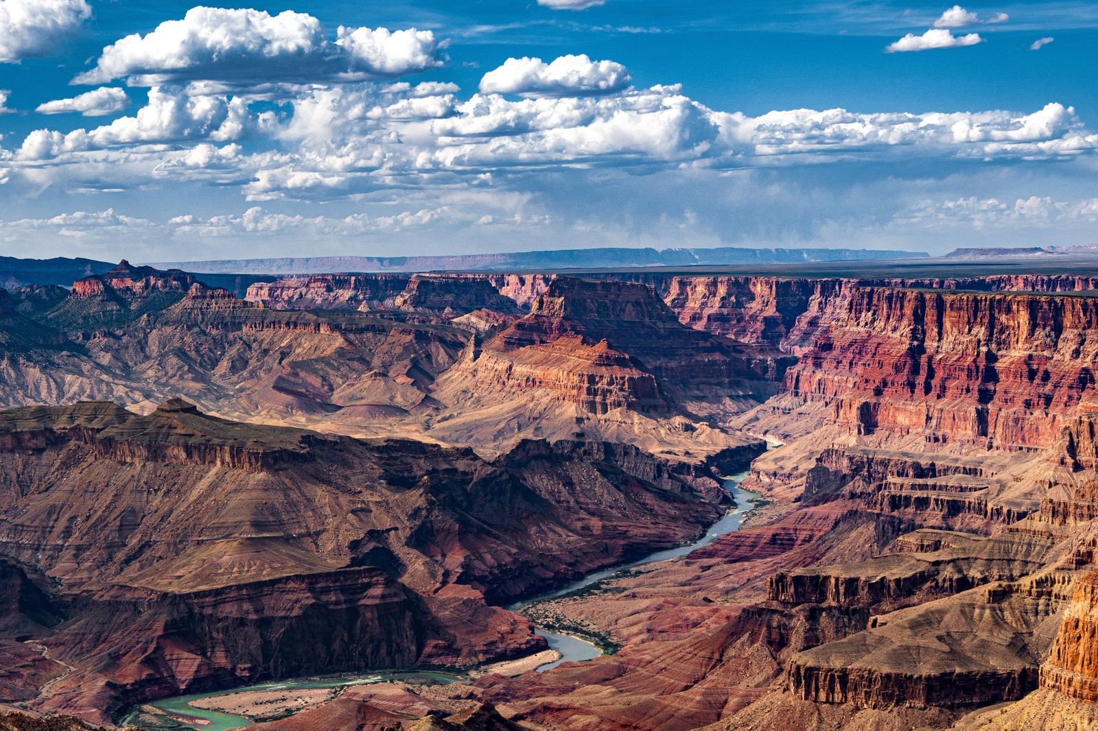
Image: John Graybosch

Look closely at the canyon walls, and you'll notice something strange: a clean, sharp line where ancient rock simply stops, and a much younger layer begins directly above it.

This geological puzzle is called the "Great Unconformity," and it represents over a billion years of rock layers that are simply absent , as though that stretch of time never happened. In some spots, rock dated 1.8 billion years old sits directly beneath rock that is only 520 million years old. Where did the missing billion years go?

The leading theory involves the violent breakup of an ancient supercontinent, but scientists are still piecing it together.

2
During the Cold War, it hid a nuclear fallout shelter
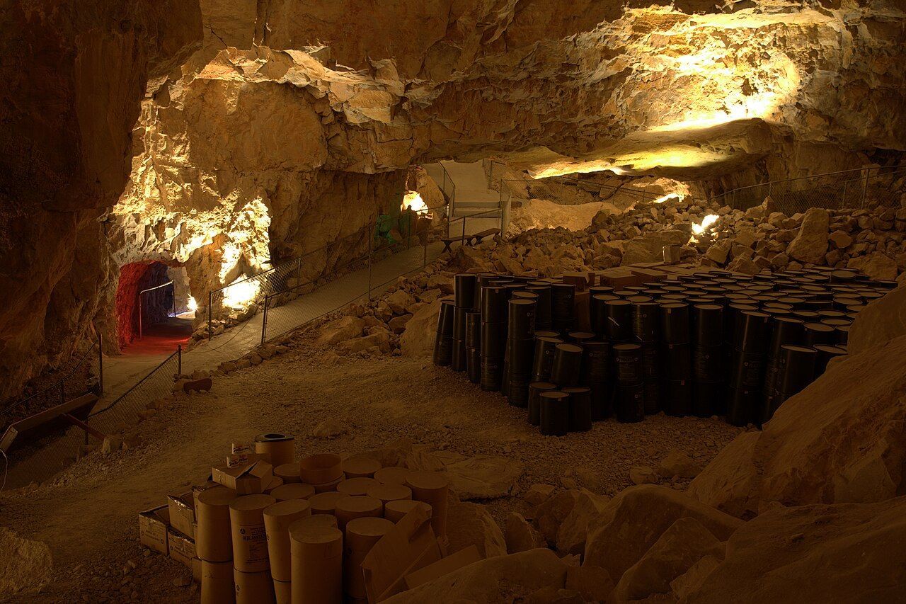
Image: Lauri Väin from Tallinn, Estonia, CC BY 2.0, via Wikimedia Commons

During the Cuban Missile Crisis in 1962, the U.S. government converted part of the Grand Canyon Caverns into a fallout shelter. This dry cave system, more than 200 feet underground, was stocked with enough food and water to sustain 2,000 people. Naturally, it was never occupied, and the supplies were never used.

The caverns have since been transformed into a tourist attraction, with organized tours winding through the same underground chambers that were once intended as a refuge from nuclear war. You can even book a night's stay there.

3
The Federal Aviation Administration was founded after a crash over the canyon
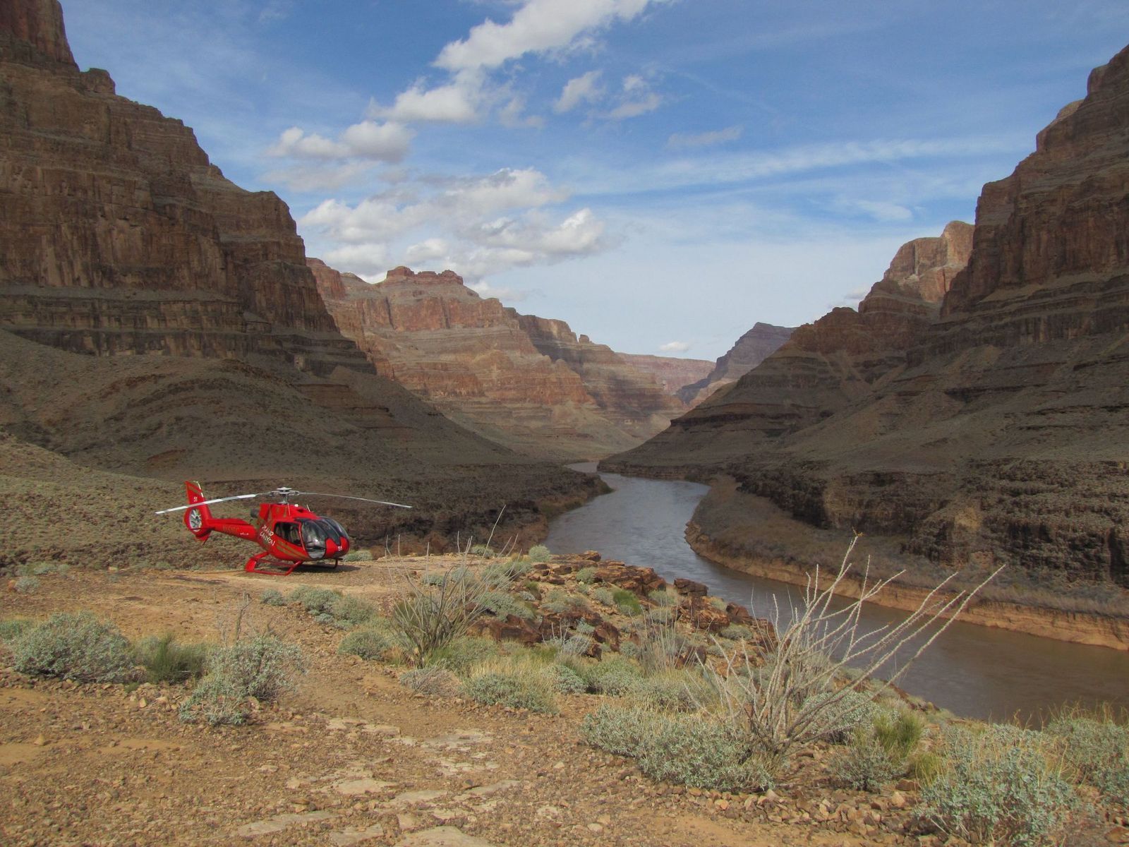
Image: Alexandre Henry Alves

In 1956, two commercial passenger planes collided in midair over the eastern Grand Canyon, killing all 128 people on board both crafts. Rescue teams struggled to reach the wreckage deep inside the canyon, and the extreme heat of the crash had caused the planes' aluminum to fuse with the bedrock. There were no survivors.

The disaster exposed a terrifying truth: the U.S. air traffic control system was dangerously outdated, relying on pilots' visual estimates and rough guesswork from controllers , with no way to separate fast-moving aircraft from slow ones, or instrument-flying planes from those navigating by sight. Congress responded by passing legislation that created both the Federal Aviation Administration (FAA) and the National Transportation Safety Board.

4
A hoax suggested that an Egyptian civilization had lived there
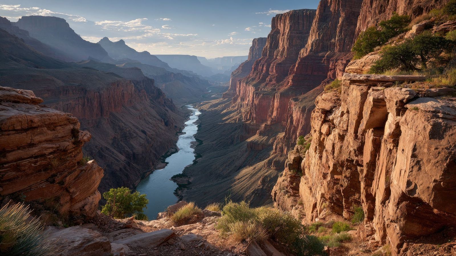
Image: abdurrohman dzar

In 1909, the Arizona Gazette reported that an explorer named G. E. Kinkaid had discovered a vast underground citadel inside the canyon, filled with artifacts linked to ancient Egyptian civilization. He even claimed the expedition had been funded by the Smithsonian.

This story described hieroglyphics on the walls, mummies in the chambers, and relics pointing to a direct connection with the Egypt of the pharaohs. It was incredibly detailed, and it was, of course, a hoax. No evidence for any of Kinkaid's claims ever surfaced.

5
Less than 100 people have ever hiked its full length
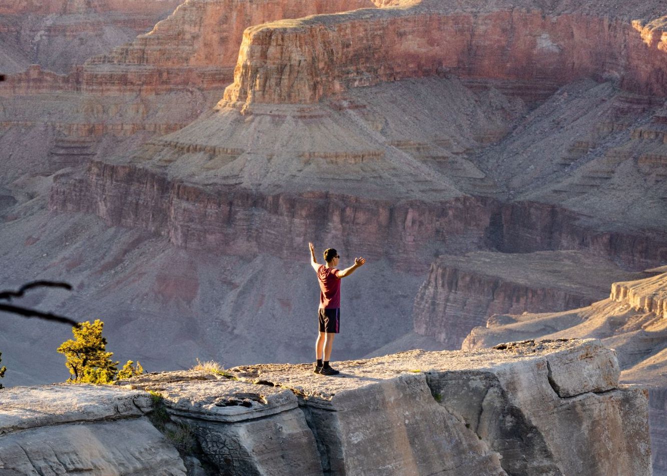
Image: Abhishek Navlakha

Among the few people who have completed the through-hike of the Grand Canyon is Jen Hogan, the first woman to accomplish it, finishing her journey in 2021–2022.

It’s a full 800-mile length below the rim. The route involves extreme heat, flash floods, near-impassable areas, and stretches with no water or trail whatsoever. Around 60 or 70 people have reportedly accomplished it. This makes it one of the most exclusive feats on Earth.

6
The Grand Canyon's rocks predate dinosaurs entirely
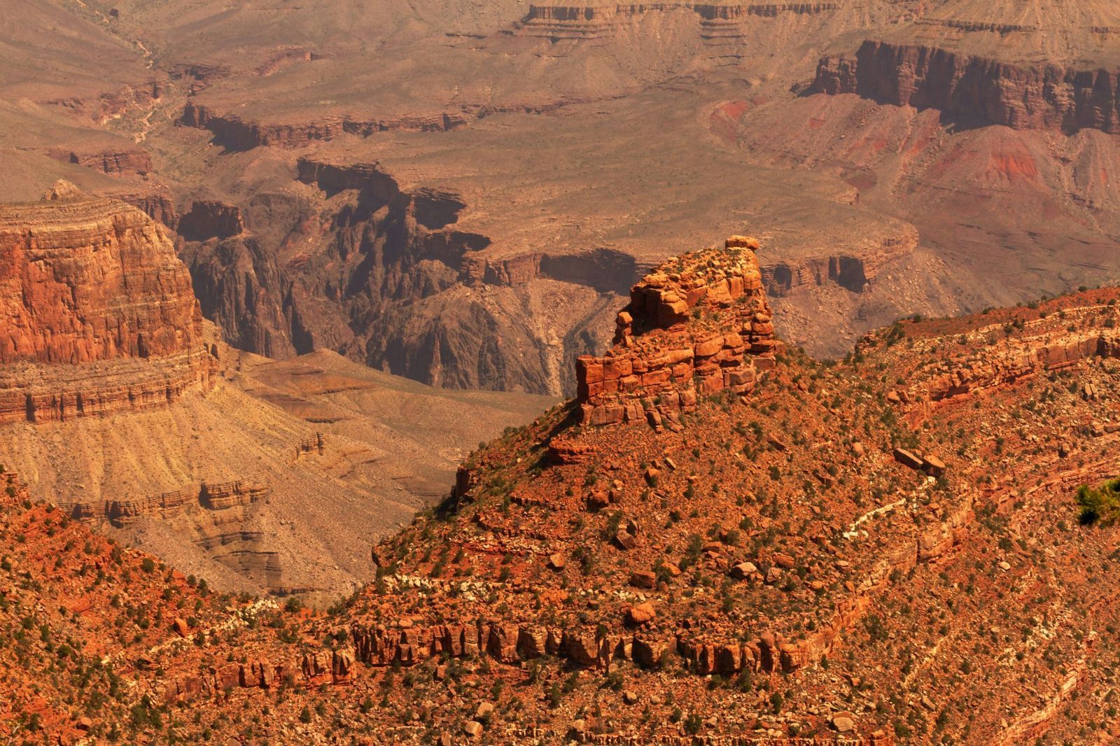
Image: MARIOLA GROBELSKA

Visitors scanning the canyon walls for fossils are often surprised to learn they won't find any dinosaur bones here. The rock layers of the Grand Canyon are simply older than dinosaurs. This fact alone can be shocking: staring at its walls means staring at marine fossils from as far back as 1.2 billion years ago. Some of its caves hold the remains of ancient mammals. The canyon is a window into a world that existed long before the dinosaurs, when the land that is now Arizona lay beneath a shallow sea.

7
The park is bigger than Rhode Island
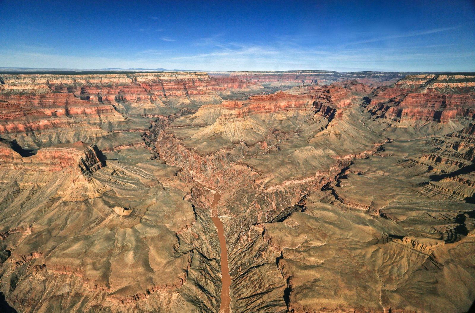
Image: AussieActive

Numbers alone rarely capture the Grand Canyon's scale, so here's a different approach. Rhode Island covers about 1,214 square miles, and the Grand Canyon National Park spans 1,904 square miles.

The canyon's depth exceeds four Empire State Buildings (which is 1,454 feet) stacked on top of one another. That’s 6,093 feet at its deepest point.

8
But it's not the deepest canyon on Earth
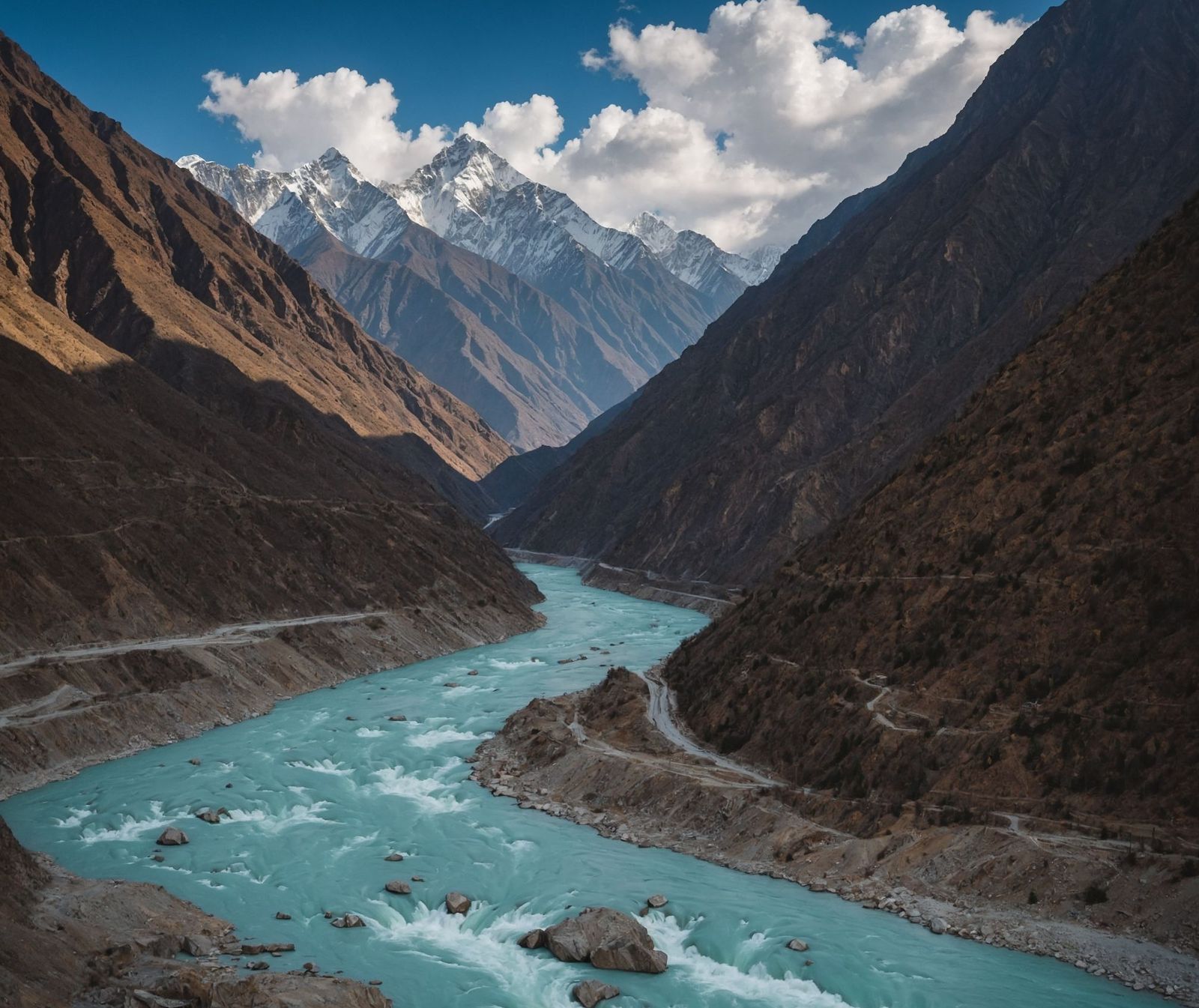
Image: Naeemphotographer2

For all its grandeur, the Grand Canyon does not hold the depth record. Pictured above, Yarlung Tsangpo Grand Canyon in Tibet, China, plunges to 17,567 feet, which is nearly three times deeper. Carved by the Yarlung Tsangpo River as it cuts through the eastern Himalayas, that canyon is so remote and extreme that it remained largely uncharted until the late 20th century.

9
It is home to a pink rattlesnake found nowhere else on Earth
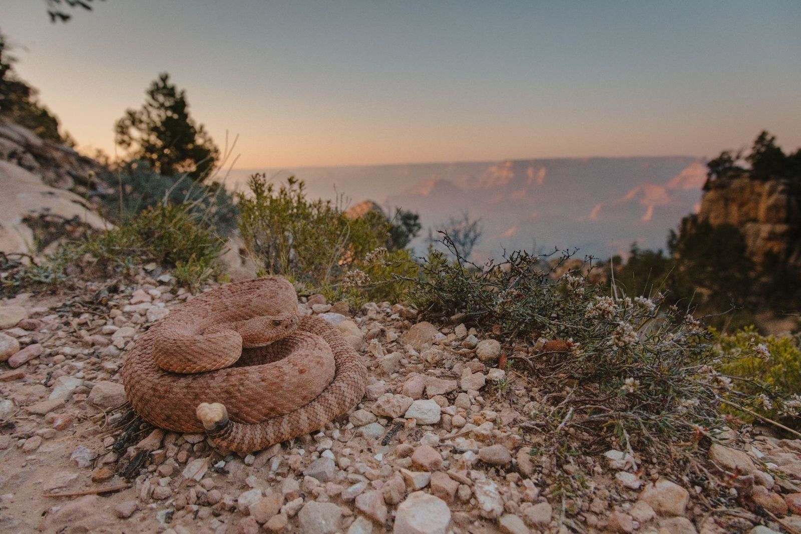
Image: Alexander Wong

The Grand Canyon Pink Rattlesnake has a pinkish-red coloring that matches the canyon's own distinctive rock walls so closely that it's nearly invisible. It is found nowhere else in the world. Officially classified as Crotalus oreganus abyssus , it has darker diamond-shaped markings along its back that deepen the camouflage further.

10
There's a village at the bottom: Supai Village
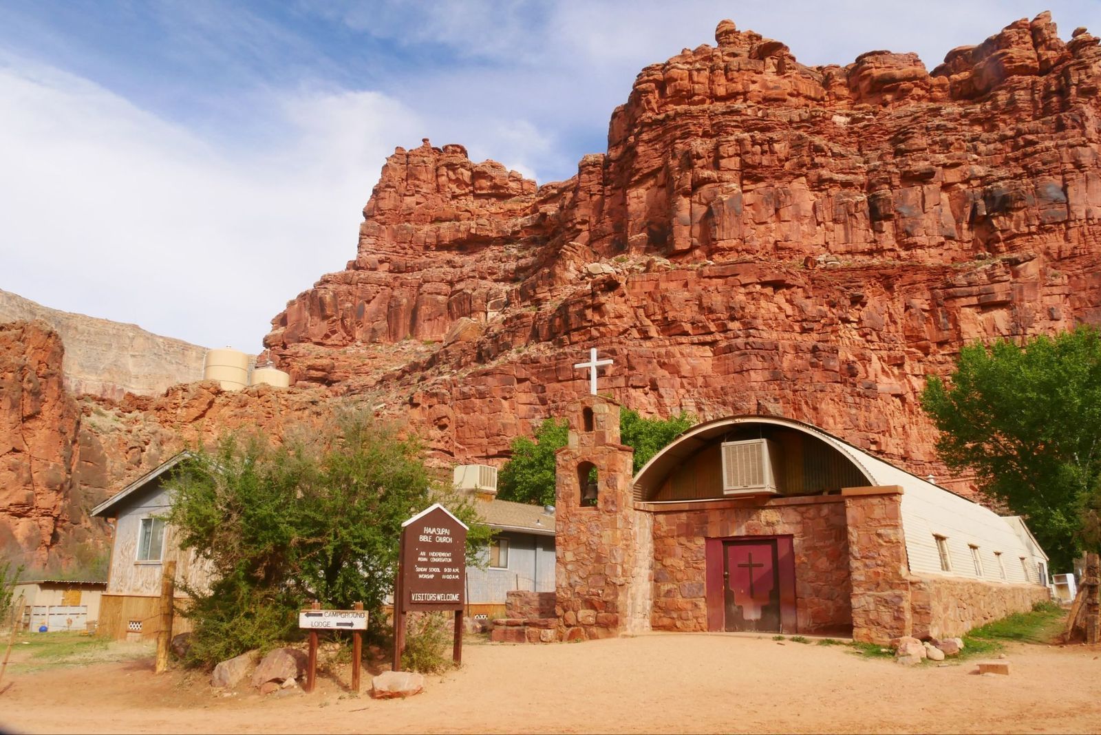
Image: joojoob27

For over 1,000 years, the remote village of Supai has been home to the Havasupai Tribe, the People of the Blue-Green Waters. It is located eight miles below the rim of the Grand Canyon.

The U.S. Department of Agriculture has called it the most remote community in the contiguous United States, and it has no automobiles and no road access. The only ways in are on foot, by mule, or by helicopter. It is also the only place in the United States where the postal service still delivers mail by mule train.

Geography Geography 5 min read

CROSS-COUNTRY ADVENTURES

Discover America: The 10 most scenic routes in the U.S.A.

Image: Sean McArthur

For those with a thirst for adventure, America's vast and diverse landscape offers some of the most breathtaking road trips in the world. From challenging mountain roads to exhilarating scenic highways, the open roads of the United States beckon both locals and tourists alike. Exploring our country can be one of the most rewarding experiences within reach, and you don’t need much—just a bit of courage (and a lot of gas!). Whether you're planning a weekend getaway, an epic cross-country journey, or just feeling curious, we've gathered in this article 10 of the most beautiful roads in the country.

1
Pacific Coast Highway

Image: Joe Pilié

The Pacific Coast Highway , officially known as California State Route 1, runs along the stunning California coastline. This iconic route stretches from Dana Point in Orange County to Leggett in Mendocino County, offering breathtaking views of the Pacific Ocean, rugged cliffs, and charming coastal towns.

Designated by the United States Department of Transportation as an All-American Road , the Pacific Coast Highway also serves as a vital artery for residents in the Greater Los Angeles Area and the San Francisco Bay Area. Unfortunately, the route is also known for its frequent coastal landslides, which often cause sections of the road to be closed or redirected inland, so if you are planning to take this route, be sure to check conditions and plan ahead.

2
Blue Ridge Parkway

Image: Angela Bartosh

For those who love bluish mountains and epic landscapes, this route is a must-visit. Winding through the Appalachian Mountains, the Blue Ridge Parkway connects Shenandoah National Park in Virginia to the Great Smoky Mountains National Park in North Carolina.

This 469-mile drive is renowned for its fall foliage, lush scenery, and panoramic vistas. Whether you plan to hike some of its many trails, explore historic sites, or simply enjoy the views from the comfort of your vehicle, the Blue Ridge Parkway offers a truly rewarding experience. Just be aware that the road is not maintained in winter, and certain sections and high passes may be closed from late fall through early spring.

3
Route 66

Image: Nikolai Justesen

Famously dubbed the "Mother Road" by Steinbeck in The Grapes of Wrath , Route 66 embarks on an epic cross-country journey from Chicago to Santa Monica, stretching a total of 2,448 miles. Immortalized in songs and media, this historic road has achieved legendary status, not only as one of the country’s most celebrated routes but also as a symbol of the United States around the world.

This iconic route takes you through picturesque small towns, vast deserts, and quintessential Americana. Though the original road was supplanted by the Interstate Highway System in 1985, much of the historic route has been preserved as a National Scenic Byway , now known as "Historic Route 66."

4
Great River Road

Image: Mitchell Kmetz

Following the course of the Mississippi River , the Great River Road stretches 2,340 miles through ten states, from Minnesota to Louisiana. The term "Great River Road," however, refers not only to the official network of roadways that follow the river's path but also to a broader region of historical and touristic significance.

Originally extending north into Canada, it once connected with the provinces of Ontario and Manitoba. Notable stops along the route include the Twin Cities, Mark Twain's hometown of Hannibal, Missouri, and the Delta Blues Museum in Clarksdale, Mississippi.

5
Going-to-the-Sun Road

Image: Tevin Trinh

Located in Montana's Glacier National Park, the Going-to-the-Sun Road is a 50-mile engineering marvel, with sections carved into steep rock faces. This alpine route traverses the Continental Divide through Logan Pass at an elevation of 6,646 feet, offering jaw-dropping views of glaciers, waterfalls, and wildlife.

The road is named after Going-to-the-Sun Mountain, which dominates the eastbound view beyond the high pass. According to a Native American legend, a deity called Sour Spirit descended from the sun to teach the Blackfeet tribe how to hunt, giving the mountain its name.

6
Overseas Highway

Image: Ilse Orsel

Connecting mainland Florida to Key West, the Overseas Highway is a 113-mile journey across a series of bridges and tropical islands. Much of the route was built on the remnants of the Overseas Railroad , which was severely damaged and partially destroyed by the 1935 Labor Day hurricane. In the 1950s, the Overseas Highway was revamped into a major coastal route linking Miami to Key West.

This exotic drive not only offers spectacular views of turquoise waters and coral reefs but also provides the opportunity to spot local wildlife such as American alligators, American crocodiles, and Key deer.

7
Tail of the Dragon

Image: Stephen Cook

Deals Gap , a thrilling mountain pass along the North Carolina–Tennessee state line, is famously known as the Tail of the Dragon due to its astonishing 318 curves in just 11 miles. This legendary stretch of U.S. Route 129 is a global favorite among motorcyclists and sports car enthusiasts, who often come to challenge their vehicles and driving skills on its winding curves.

As the road forms part of the southwestern boundary of the Great Smoky Mountains National Park , the 11-mile stretch remains free from urban development and features numerous scenic overlooks and pull-off points.

8
Hana Highway

Image: Claude Piché

Also known as The Road to Hana, the Hana Highway on Maui, Hawaii, is a 64.4-mile stretch of Hawaii Routes 36 and 360 that traverses through rainforests, cascading waterfalls, and seascapes. As it meanders across the island, the road features over 600 curves , leading to the charming town of Hana, one of the most isolated communities in the state.

Before you get too excited, though, be prepared for a journey that can take nearly three hours. Although the distance may seem short on paper, the highway's winding, narrow nature and its 59 one-lane bridges can significantly extend travel time.

9
Natchez Trace Parkway

Image: Mika Matin

Stretching 444 miles from Natchez, Mississippi, to Nashville, Tennessee, the Natchez Trace Parkway is a journey rich in history and natural beauty. This scenic drive follows the ancient Native American trail of the same name, even preserving sections of the original path.

This historical route offers peaceful landscapes and numerous recreational opportunities for visitors. Notable stops include archaeological treasures like Emerald Mound , several abandoned towns and historic settlements, and the Meriwether Lewis Monument and Grave Site.

10
U.S. Route 50

Image: Paddy Kumar

U.S. Route 50 is a major highway that spans the width of the United States, connecting Ocean City, Maryland, on the East Coast to Sacramento, California, on the West Coast. Stretching 3,073 miles, this route traverses diverse landscapes but is most renowned for its rural desert and mountainous scenery in the western United States.

Particularly notable is its Nevada segment, famously dubbed "The Loneliest Road in America" due to its sparse traffic and lengthy, isolated stretches. Established in 1926 as part of the original U.S. Highway system, US 50 initially extended from Wadsworth, Nevada, to Annapolis, Maryland. The original route incorporated several historic trails, including the Lincoln Highway, Midland Trail, and the National Old Trails Road.

Geography Geography 3 min read

Only in America

Born in Accident, raised in Looneyville—the wildest U.S. town names

Image: Lachlan Donald

From puns to head-scratchers, some U.S. towns have names that sound like jokes—but they’re very real! Behind many of them lie strange stories, old legends, or just one stubborn settler with a sense of humor. From Accident to Booger Hole, and even straight-up Hell, these oddly named places tell stories of America’s diverse and often eccentric past. Here’s a coast-to-coast look at 10 towns that’ll make you do a double take.

1
Truth or Consequences, New Mexico

Image: Lachlan Donald

Originally named Hot Springs, the town changed its name in 1950 after a popular radio show. Host Ralph Edwards had promised to broadcast from the first town that renamed itself after the program.

The publicity stunt worked—Edwards visited annually for the next 50 years. Despite its playful name, Truth or Consequences is a legitimate spa town, known for natural hot springs and health resorts.

2
Accident, Maryland

Image: David Trinks

Surveyors in the 1700s accidentally claimed the same plot of land twice, giving rise to the town’s odd name. The mistake was eventually resolved, but the name stuck.

Today, Accident is a quiet town in Garrett County with fewer than 400 residents. It occasionally draws attention from curious travelers and lovers of unique place names.

3
Boring, Oregon

Image: everett mcintire

Named after William H. Boring, a Civil War veteran who settled in the area. Locals embraced the name, even forming a tongue-in-cheek partnership with Dull, Scotland, and later Bland, Australia, to form the so-called "Trinity of Tedium"—all in good fun!

Boring capitalizes on the irony with signs that read, "The most exciting place to live." It’s a quiet suburb of Portland with a strong farming history.

4
Chicken, Alaska

Image: Yiyi Yang

Miners wanted to name it after the ptarmigan, a local bird, but couldn’t agree on the spelling , so they went with "Chicken" instead.

Located near the Canadian border, Chicken has no phone service and a population of fewer than 20. It remains a favorite roadside stop along the Taylor Highway.

5
Booger Hole, West Virginia

Image: Sharosh Rajasekher

Named after ghost stories and tales of mysterious disappearances in the early 1900s. "Booger" was slang for ghost or boogeyman.

The area gained notoriety for several unsolved crimes, adding to its spooky reputation. Today, it’s mostly a rural area with a curious past and no official signage.

6
Monkey’s Eyebrow, Kentucky

Image: Roger Starnes Sr

One origin story claims the name came from the area’s appearance on a map —it looked like the eyebrow on a monkey’s face.

Located in Ballard County, this unincorporated community doesn’t offer much beyond a memorable name. It’s a quiet farming region in western Kentucky.

7
Hell, Michigan

Image: Brad Switzer

Allegedly, this name came from a German traveler’s comment, "So schön hell!" meaning "so beautifully bright." In a humorous twist, however, locals took the "hell" part literally.

Today, tourism thrives on the name, with themed businesses like the Hell Hole Diner and even a wedding chapel. You can even buy a square inch of "Hell" online.

8
No Name, Colorado

Image: Holly Mandarich

When building a highway exit, engineers labeled the spot "No Name" as a placeholder. Locals voted to keep it that way.

Located near Glenwood Springs, it’s known for No Name Creek and the No Name Tunnel. It remains a photo favorite along I-70.

9
Toad Suck, Arkansas

Image: Claud Richmond

Likely comes from riverboat crews who drank at the local tavern until they "swelled up like toads." The "suck" refers to a river eddy—a swirling current in the water.

Today, the town is best known for the annual Toad Suck Daze festival, which celebrates the odd name with music, food, and toad races.

10
Satan's Kingdom, Massachusetts

Image: Jeffrey Clayton

Located near Northfield, this ominously named unincorporated village borders the Connecticut River. Despite its fiery name, it’s a mostly quiet rural area.

Legend says the name came after a churchgoer left a sermon about hellfire and saw a forest fire raging across the river —declaring that "Satan’s Kingdom was burning." A similarly named area exists in Vermont as well.

11
Why, Arizona

Image: Laura Mann

Named for the Y-shaped intersection of State Routes 85 and 86, the town had to adopt a name with at least three letters due to Arizona law, so "Y" became "Why."

Why lies near the Organ Pipe Cactus National Monument and remains a popular pit stop for desert road trippers.

12
Looneyville, Texas

Image: Vivian Arcidiacono

Named after store owner John Looney in the 1800s, Looneyville is not a joke—just an old Texas family name.

Looneyville is in Rusk County, deep in East Texas. It remains unincorporated but shows up on maps and road signs.

Explore more American facts

Choose your favorite category!

General
General

As American as apple pie—the very best America has to offer!

Culture
Culture

Delve into the astounding richness of American lore.

Geography
Geography

Hop in and explore vast and diverse American landscapes.

History
History

Discover the key moments that shaped the United States.