Before GPS: Clever tricks Americans used to navigate the open road
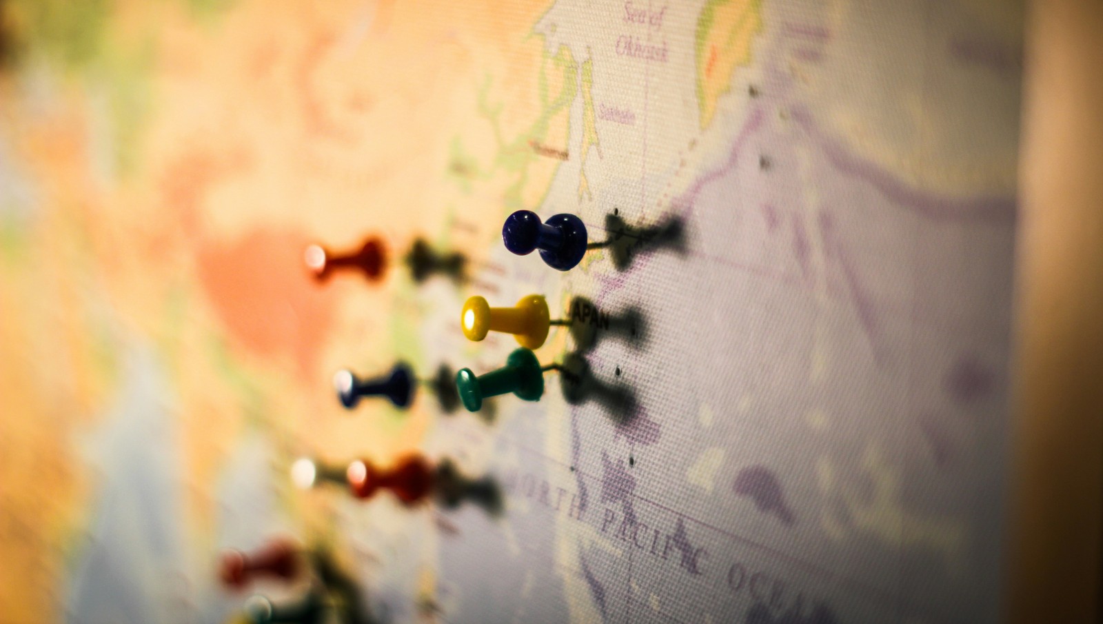
Image: T.H. Chia
Before smartphones and GPS started telling us where to turn, getting across the country required a little planning and a few clever tricks to remember the route. Travelers relied on paper maps, strangers on the road, and even public phone booths to stay on course. If your destination ever depended on the directions of a stranger, you’ll probably enjoy remembering a few of these clever tricks!
1
The MapQuest printout ritual
For many travelers, the trip really began here: sitting at the computer just minutes before leaving and printing turn-by-turn directions from MapQuest. The printed pages listed every step of the route, including the distance between each turn. This method was probably the one that marked the transition from traditional paper navigation to modern GPS systems.
2
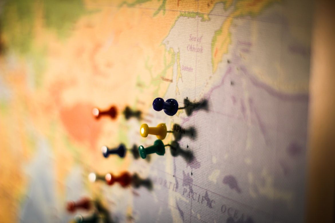
Free maps at gas stations

Back in the 1920s, advertising executive William Akin came up with an idea to promote the new Gulf Refining Company gas stations. At the time, drivers still had to buy gasoline in five-gallon containers because service stations were uncommon. Akin proposed distributing free local maps in each area where these Gulf stations were located.
The idea spread quickly, and other gas companies soon adopted the same strategy. Over time, gas stations became natural stops for travelers, and many stations eventually began selling maps instead of giving them away.
3
The American Automobile Association Trip Triks
No way you forgot this one! If you were a member of the American Automobile Association, you had access to Trip Triks: spiral-bound booklets customized for each traveler’s route. AAA staff highlighted the exact path on the map, marking gas stations, hotels, and attractions along the way.
4
Lost? Find a phone booth
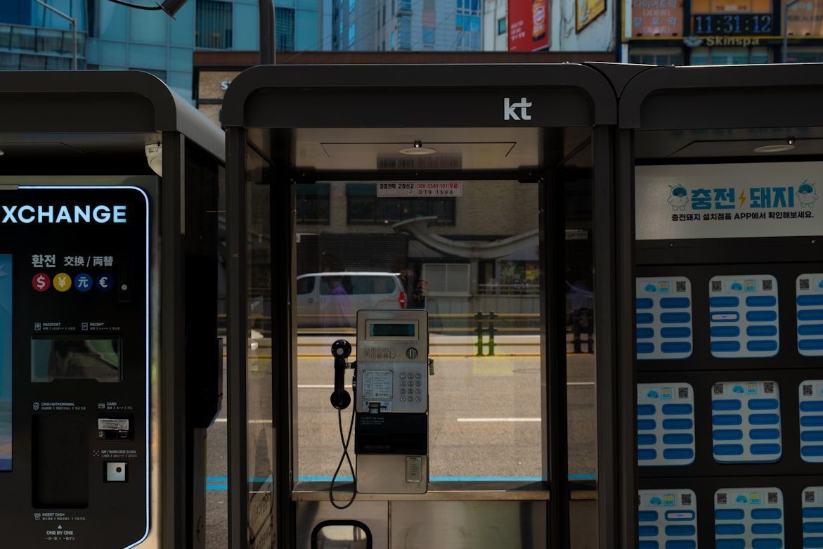
Lost in the big city? Step into a phone booth. Back then, many phone booths had maps inside showing nearby streets and landmarks. If you were lost, all you had to do was step inside, and within a few minutes, the problem was solved. The good news was that big cities had a phone booth on almost every major corner and intersection, so if the one you stopped by was already taken, you only had to walk a few steps to find another.
5
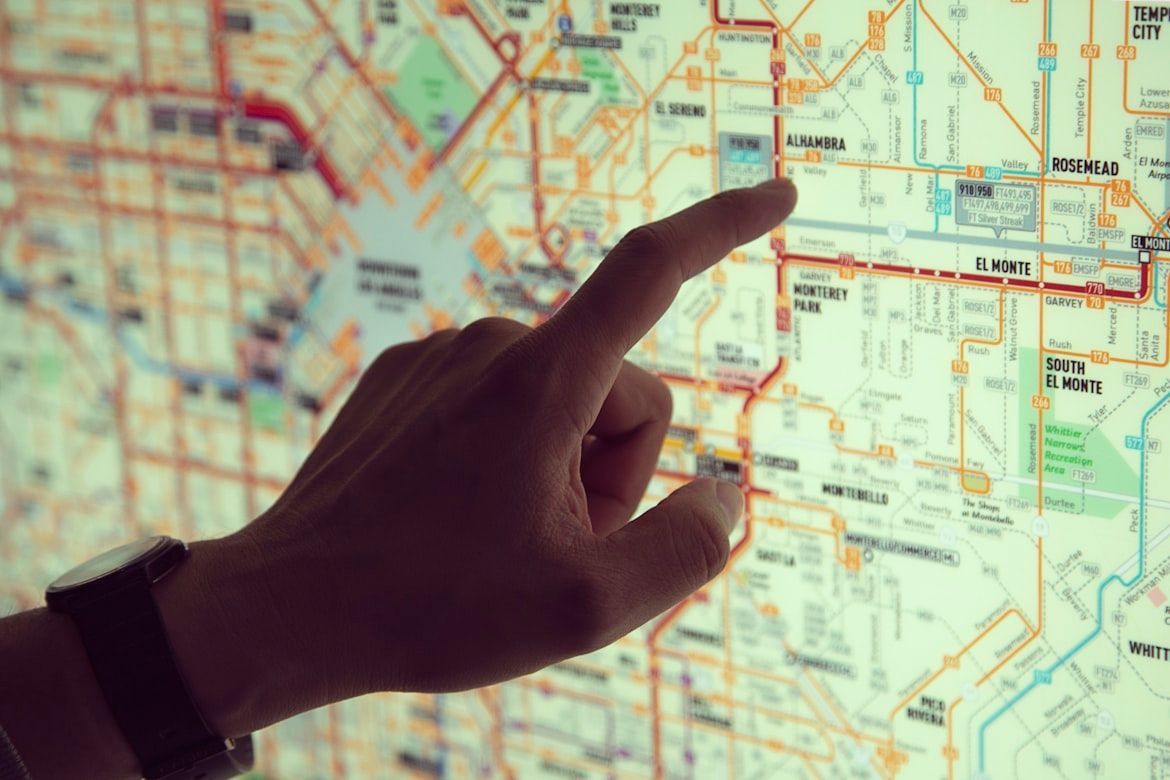
The thick book that lived in every car
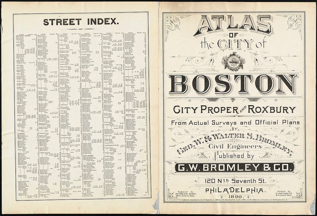
The city street atlas. One of the best companions for drivers, if not the very best. These thick books showed detailed maps of entire cities, page by page. If you spotted a street sign but had no idea where you were, you could look up that street in the atlas index. It would point you to the exact page and grid where the street appeared, helping you figure out your next move. Do you remember flipping through a street atlas to find your way across a city?
6
Asking locals for directions

Following directions back then required a bit of blind faith. You might hear something like, "Drive a few miles and turn left when you see the church," or "After the green restaurant, take the second road on the right." In rural areas, where road signs were scarce, a local’s guidance was often the best map you could get. Sometimes those directions were the only way to find a place that didn’t appear on any map. Have you ever followed directions like these and hoped for the best?
7
The co-pilot seat
This trick required teamwork. If you weren’t traveling alone, one passenger was usually designated as the "navigator." Their role? Reading the map, watching for road signs, and warning the driver about upcoming turns. A good navigator also had to learn the driver’s rhythm: when to speak up, when to stay quiet, and how quickly directions needed to be given. The best driver–navigator pairs worked together almost like Batman and Robin.
8
The Rand McNally Road Atlas
The Rand McNally Road Atlas is one of the most iconic travel tools in American road trip history. The atlas includes detailed maps of every state, showing highways, towns, and points of interest across the United States. For decades, it was a common sight in glove compartments and truck cabins, guiding travelers from city to city. Unlike digital navigation, the atlas allowed drivers to see the entire route and explore alternative roads along the way. Even today, many travelers still keep one as a backup option when cell service or GPS fails.
9
Following highway numbers
During the era of long road trips, drivers didn’t worry much about street names. Instead, they followed highway numbers. If you got on the right road, like Route 66 or U.S. Route 1, you could relax and stay on it for miles and miles, sometimes across several states. As long as the number on the signs stayed the same, you knew you were still on the right path. This approach later helped inspire the Interstate Highway System, which made traveling across the country even easier.
10
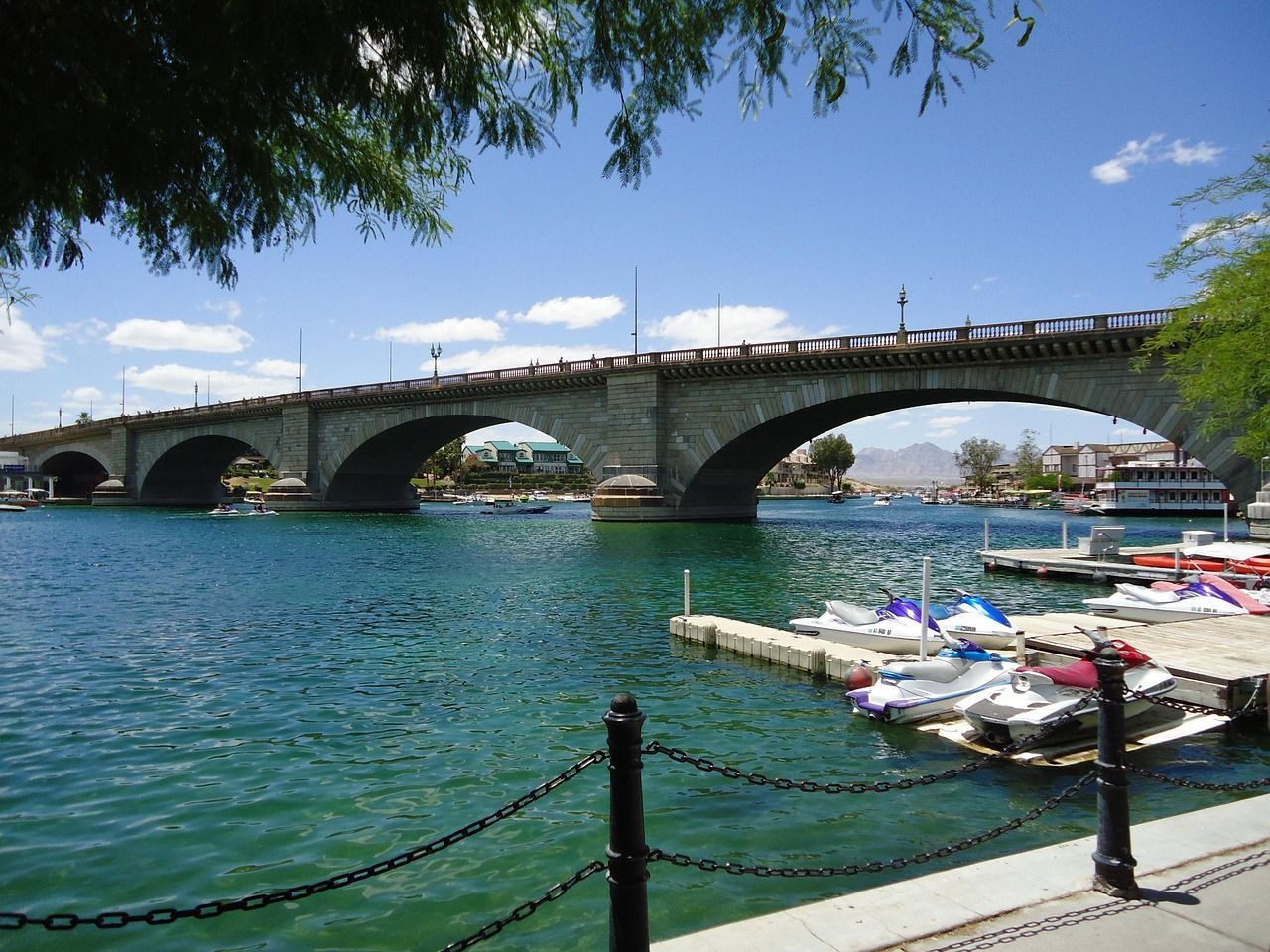
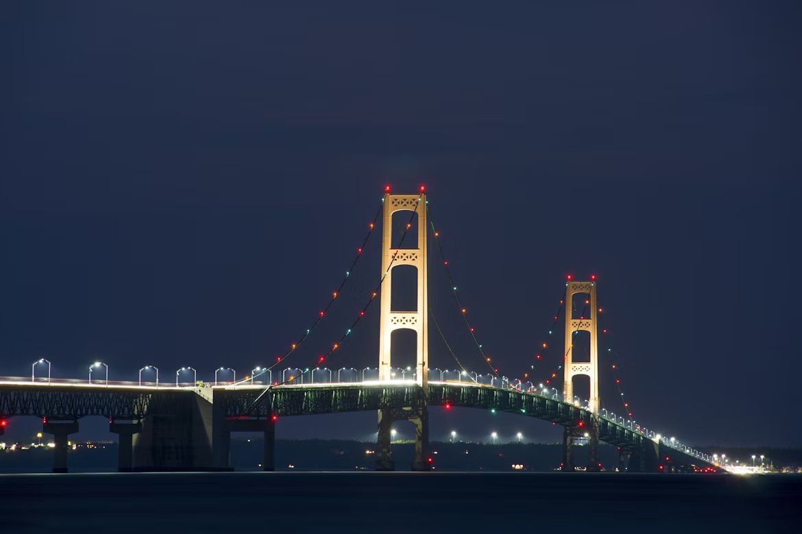
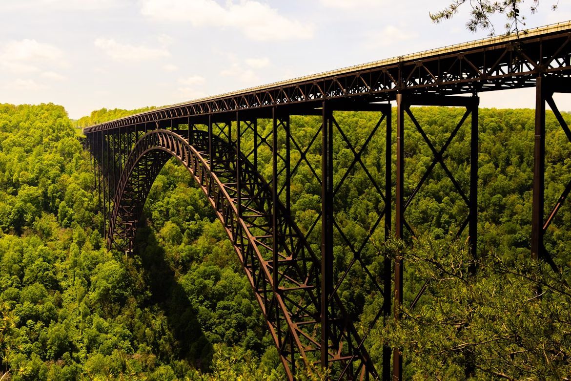
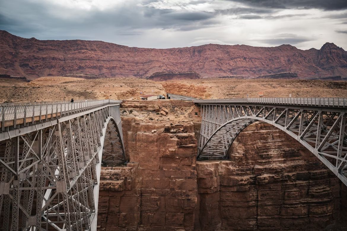
The church, the bridge, the water tower

Here's one of the classic road trip tricks: remembering landmarks along the road. This method required both memory and self-trust. Instead of coordinates or exact addresses, travelers remembered particular spots. They learned to look for things that stood out, like churches, bridges, water towers, or unusual buildings. When you reached the right one, you knew when it was time to turn. What landmarks did you rely on the most?