Geography Geography 6 min read

Where nations merge

These American border towns are nothing like what you'd expect
Image: Nicole Geri

America's border towns offer a unique glimpse into where two nations meet and merge. These communities blend languages, cuisines, traditions, and daily life in ways that create something entirely their own. These towns remind us that borders on maps don't always divide people; sometimes they bring them together in the most interesting ways.

1
Buffalo, New York / Niagara Falls, Ontario
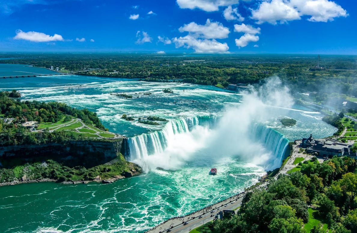
Image: Stephen Crane

Here, one of America's most famous natural wonders creates a binational tourist destination that draws millions annually . The Peace Bridge connects the cities, facilitating a relationship that goes far deeper than tourism. Buffalonians regularly cross for theatre performances at the Shaw Festival, cheaper prescription medications, and a lower legal drinking age.

The cultural blending also shows up during matchups between the Buffalo Sabres and the Toronto Maple Leafs. While the rivalry is intense, it reflects a shared Great Lakes identity shaped by decades of cross-border movement. Canadian shoppers have long made Buffalo malls a destination, while Americans enjoy Windsor-style pizza and Tim Hortons coffee on the Canadian side. The accent in this region reflects generations of cross-border mixing and shared Great Lakes culture.

2
Detroit, Michigan / Windsor, Ontario
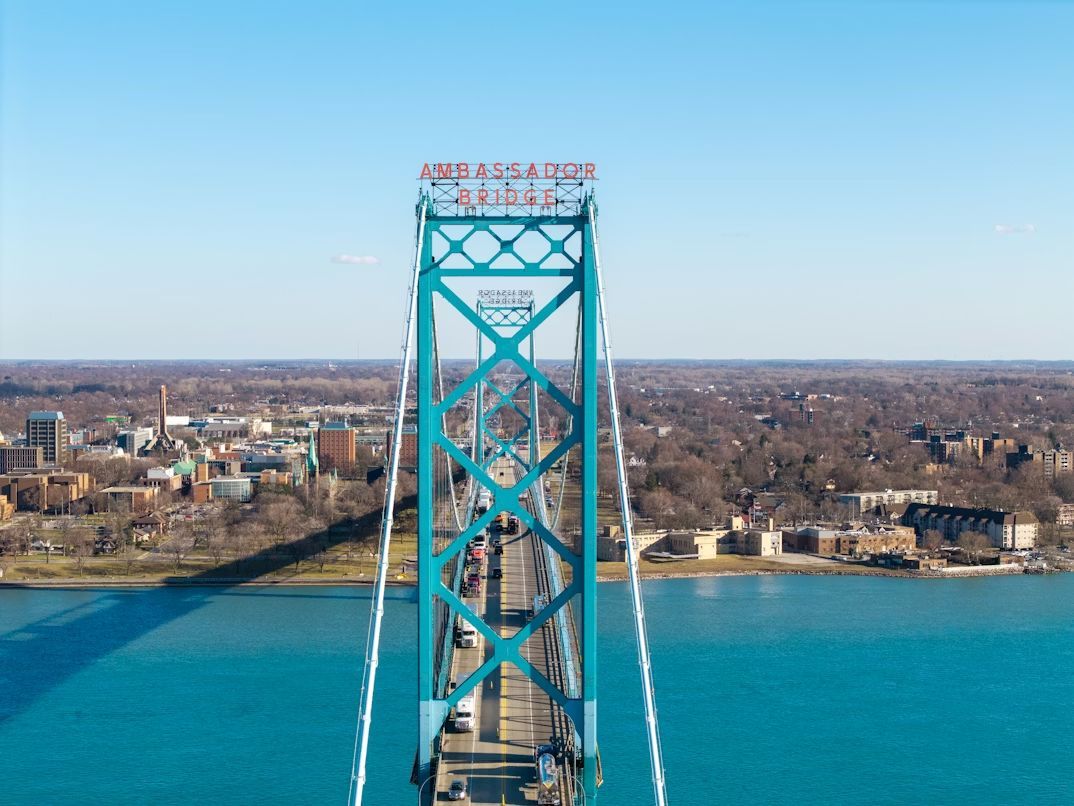
Image: Nils Huenerfuerst

Detroit and Windsor form one of the busiest international crossings in North America, connected by both the Ambassador Bridge and the Detroit-Windsor Tunnel. Over 8,000 trucks cross daily, carrying a quarter of all trade between the U.S. and Canada. But beyond commerce, these cities share deep cultural ties : Detroiters pop over to Windsor for Caesar cocktails and Canadian beer, while Windsor residents cross for Red Wings games and shopping at Somerset Collection.

During Prohibition, Windsor became Detroit's not-so-secret supplier, creating smuggling routes and speakeasies that became Motor City legend. Today, you can stand on the Detroit riverfront and see Canada closer than many American suburbs.

3
Laredo, Texas / Nuevo Laredo, Tamaulipas
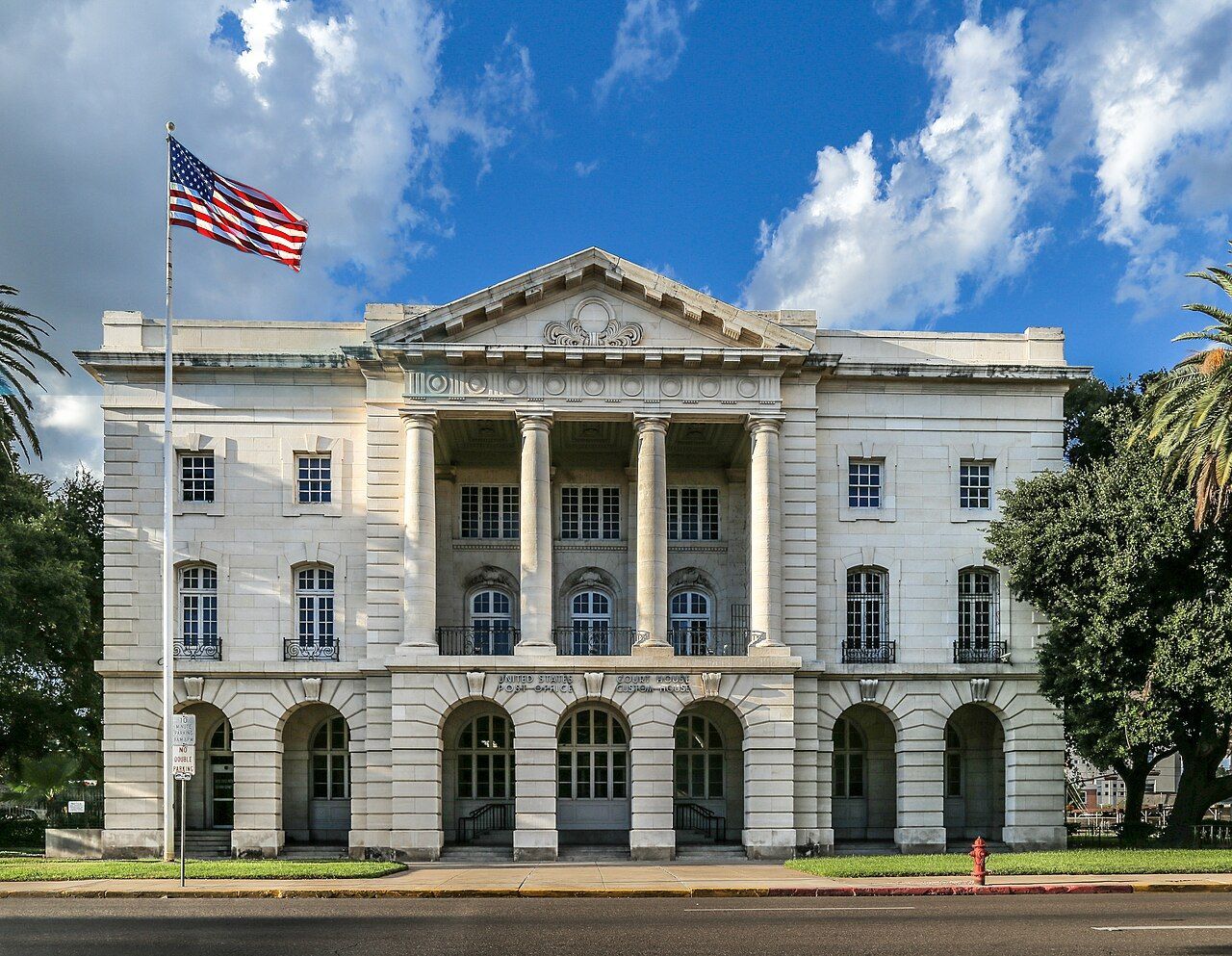
Image: JoshDavid Photos

Laredo is one of the oldest crossing points on the U.S.-Mexico border, founded in 1755. The city's Washington's Birthday celebration, oddly enough, is one of the largest such celebrations in the country, spanning nearly the entire month of February and including participants from both sides of the border.

The economy here revolves around international trade, with massive amounts of freight crossing daily between the two nations. But beyond commerce, the cultural blend shows up everywhere—in the predominance of bilingual conversations, in restaurants serving cabrito alongside barbecue, and in the way holidays are celebrated with traditions from both countries.

4
Blaine, Washington / Surrey/White Rock, British Columbia
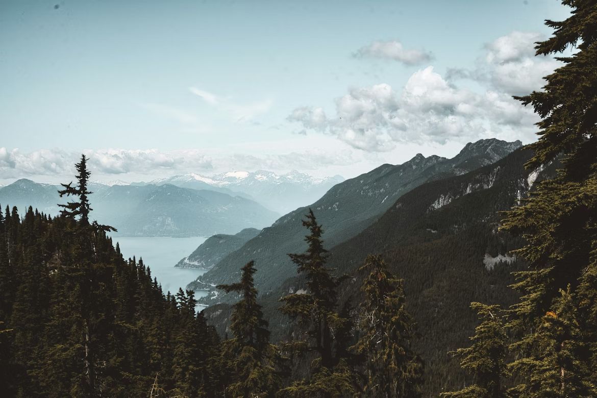
Image: Jess Barnett

Blaine sits at the western end of the U.S.-Canada border, where the line literally runs through Peace Arch Park—a unique binational park where families can picnic with relatives from either country without going through customs. The Peace Arch monument itself straddles the border, inscribed with "Children of a Common Mother" and "Brethren Dwelling Together in Unity."

Residents on both sides share a love of hiking, craft beer, and fish and chips. Blaine residents drive to Surrey for groceries at Canadian supermarkets, while British Columbians come south for gas, milk, and Trader Joe's runs . The Cascadia bioregion identity—encompassing B.C., Washington, and Oregon—often feels more meaningful to locals than national boundaries.

5
Derby Line, Vermont / Stanstead, Quebec
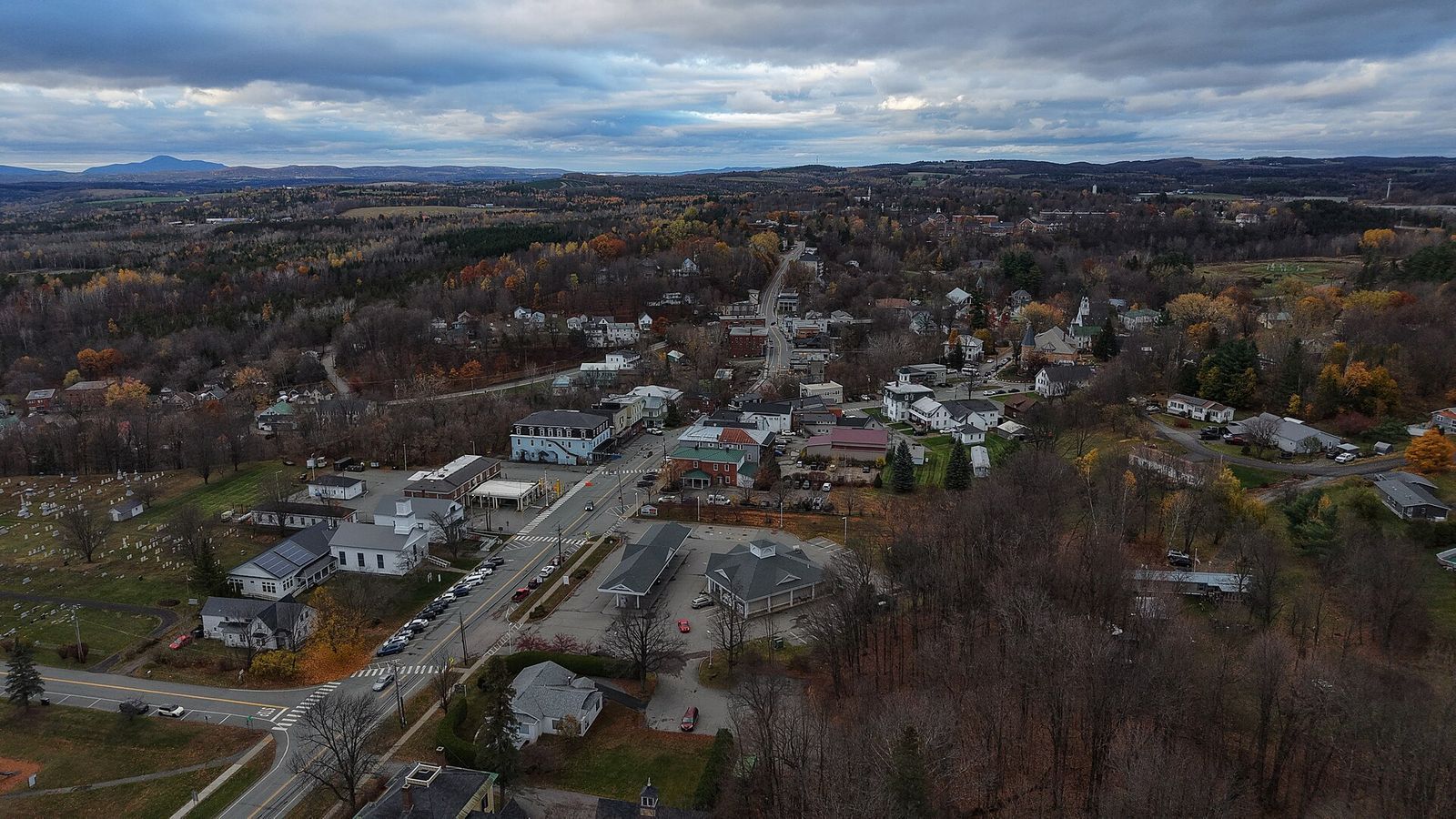
Image: Ascended Dreamer, CC BY 4.0, via Wikimedia Commons

Derby Line and Stanstead share the most uniquely porous border in North America . The Haskell Free Library and Opera House was deliberately built straddling the international boundary in 1904, with the stage in Canada and most seats in the U.S. A black line on the floor marks where one country ends and another begins—no passport required.

Several homes and buildings in town sit directly on the border, with front doors in one country and back doors in another. Before 9/11 and increased border security, locals would casually cross back and forth multiple times daily without much thought. While regulations have tightened, the community identity remains binational.

6
Sault Ste. Marie, Michigan / Sault Ste. Marie, Ontario
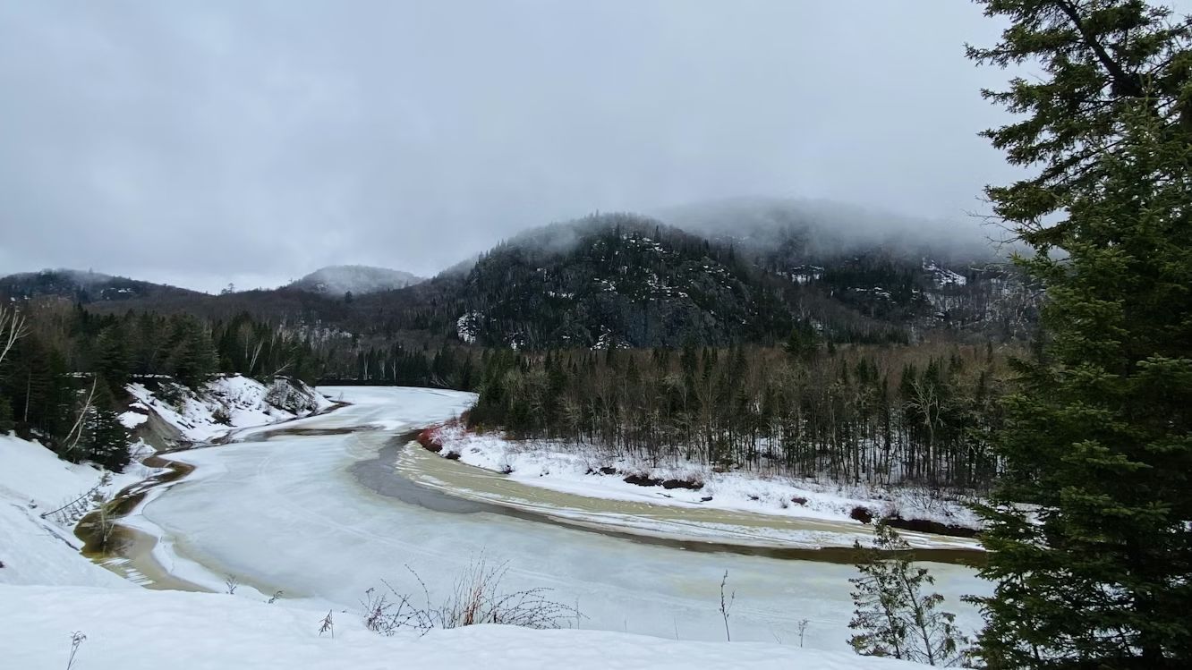
Image: Calvin Lecuyer

The "Twin Saults" are literally the same city split down the middle by the St. Marys River and the International Bridge . Founded as a single French missionary settlement in 1668, the community was divided when the border was formalized after the War of 1812. Today, residents on both sides maintain that they're really one town with an inconvenient international boundary running through it.

The Soo Locks on the American side and the Canadian locks create a shared identity around Great Lakes shipping—watching massive freighters navigate the locks is a regional pastime. Hockey culture dominates both sides, with junior leagues and recreational teams mixing Canadian and American players. Families cross the bridge for shopping, dining, and visiting relatives as casually as driving across town.

7
Hyder, Alaska / Stewart, British Columbia
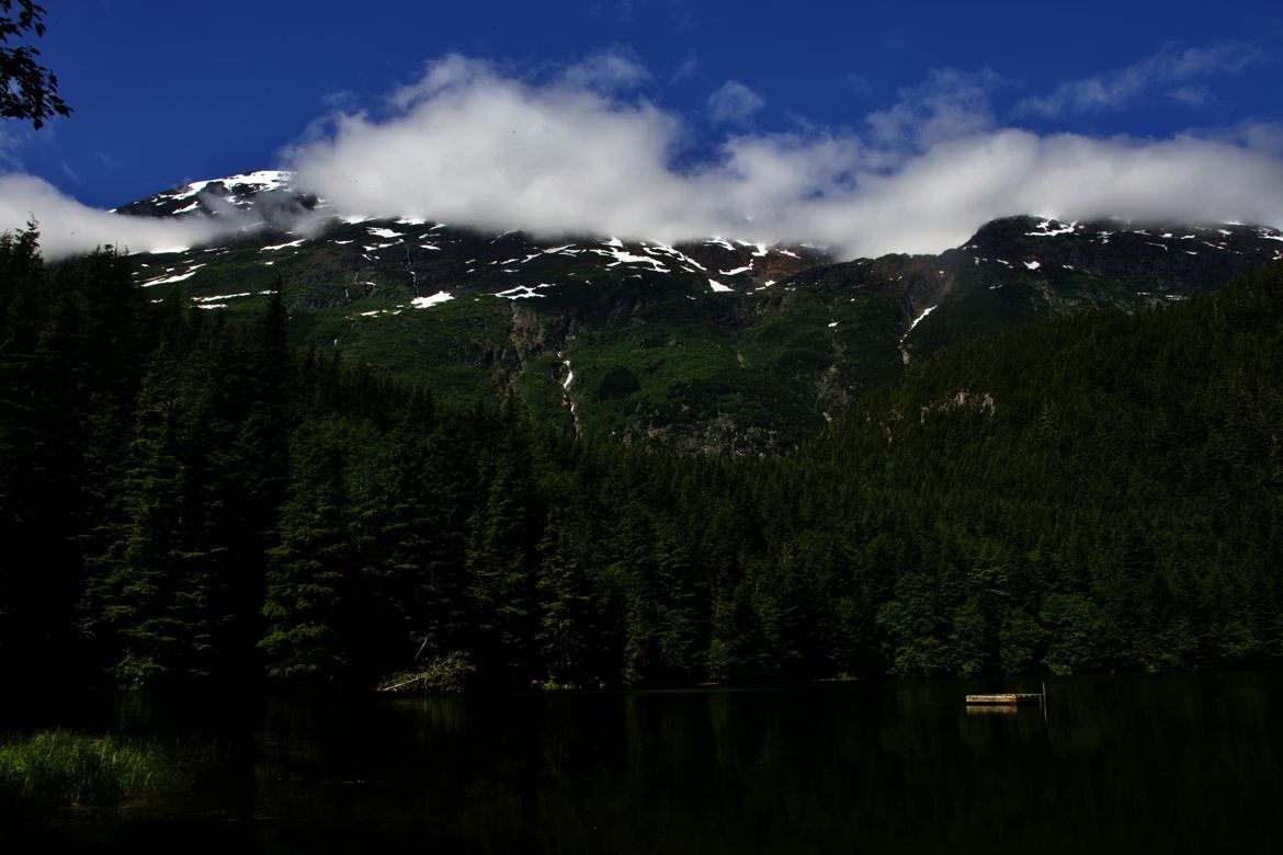
Image: Jasper Malchuk Rasmussen

While Hyder sits on the Alaskan Panhandle, it functions like a practical island: with no roads connecting it to the rest of the state, its only lifeline is a two-mile stretch of pavement leading into Stewart, B.C. This forced detour through Canada has effectively turned Hyder into a 'suburb' of its Canadian neighbor, where the border is a formality and the geography is the boss. With a population hovering around 20 people, Hyder has no bank, no post office, and spotty cell service—but it does have Stewart, B.C., just two miles away. The 400 residents of Stewart provide the services Hyder lacks, creating a dependence that makes the border almost irrelevant to daily life .

Hyder runs on Pacific Time rather than Alaska Time, uses Canadian currency, and Canadian area codes. Kids from Hyder attend school in Stewart. The towns share a volunteer fire department and emergency services.

8
Nogales, Arizona / Nogales, Sonora, Mexico
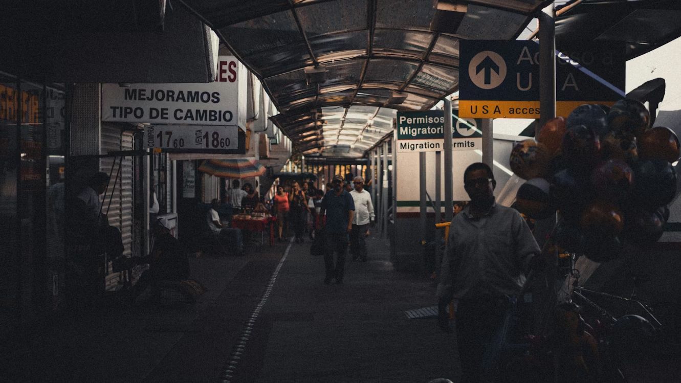
Image: Andrew Schultz

Ambos Nogales—"Both Nogales"—is what locals call this split city where the international boundary literally runs down the middle of town. Before modern border security, people would step back and forth across the line to shop, visit family, or grab lunch.

The American side has a population of around 20,000, while the Mexican side has grown to over 300,000. Despite the size difference, the cultural exchange remains strong. Arizona residents cross for affordable dental care and authentic Sonoran cuisine, while Mexican families come north for shopping at American chain stores. The shared history runs deep—many families have relatives on both sides , and the sense of being one divided community persists despite the increasingly fortified border.

9
San Diego, California / Tijuana, México
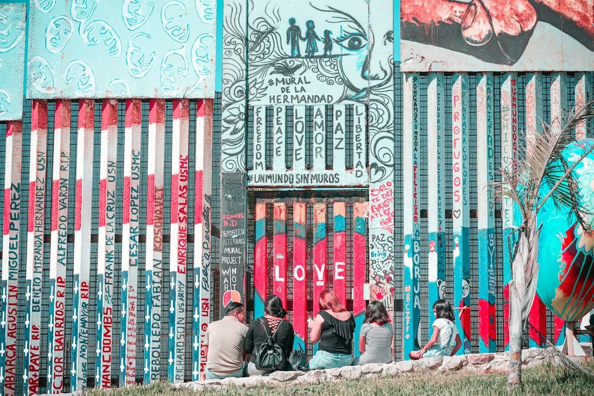
Image: Barbara Zandoval

The San Ysidro Port of Entry between San Diego and Tijuana is the busiest land border crossing in the Western Hemisphere, with around 70,000 northbound vehicle passengers daily . This constant flow has created a cultural fusion zone where fish tacos meet California beach culture, and where thousands of people hold jobs on one side while living on the other.

Craft beer culture flourishes on both sides, with breweries collaborating across the border. Street art in both cities shares similar styles and themes, while music festivals regularly feature artists from both nations.

10
El Paso, Texas / Ciudad Juárez, México
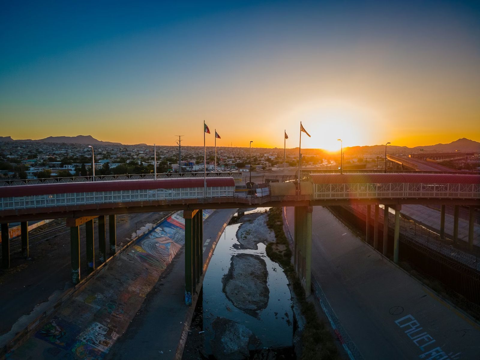
Image: Nils Huenerfuerst

El Paso and Juárez form one of the world's largest binational communities, with over 2.5 million people living in the combined metro area . Families routinely cross the border for work, school, shopping, and Sunday dinner. The Franklin Mountains provide a stunning backdrop to this bustling cultural exchange, where Tex-Mex cuisine was practically invented and where speaking both English and Spanish isn't just common, it's essential.

The downtown areas of both cities sit so close you can practically wave to someone across the Rio Grande. Street vendors sell elotes and hot dogs side by side, while radio stations broadcast to audiences in both countries simultaneously.
Culture Culture 6 min read

The Five-Sided Puzzle Palace

A man lived there secretly? Stunning facts about the Pentagon

Image: Touch Of Light, CC BY-SA 4.0, via Wikimedia Commons

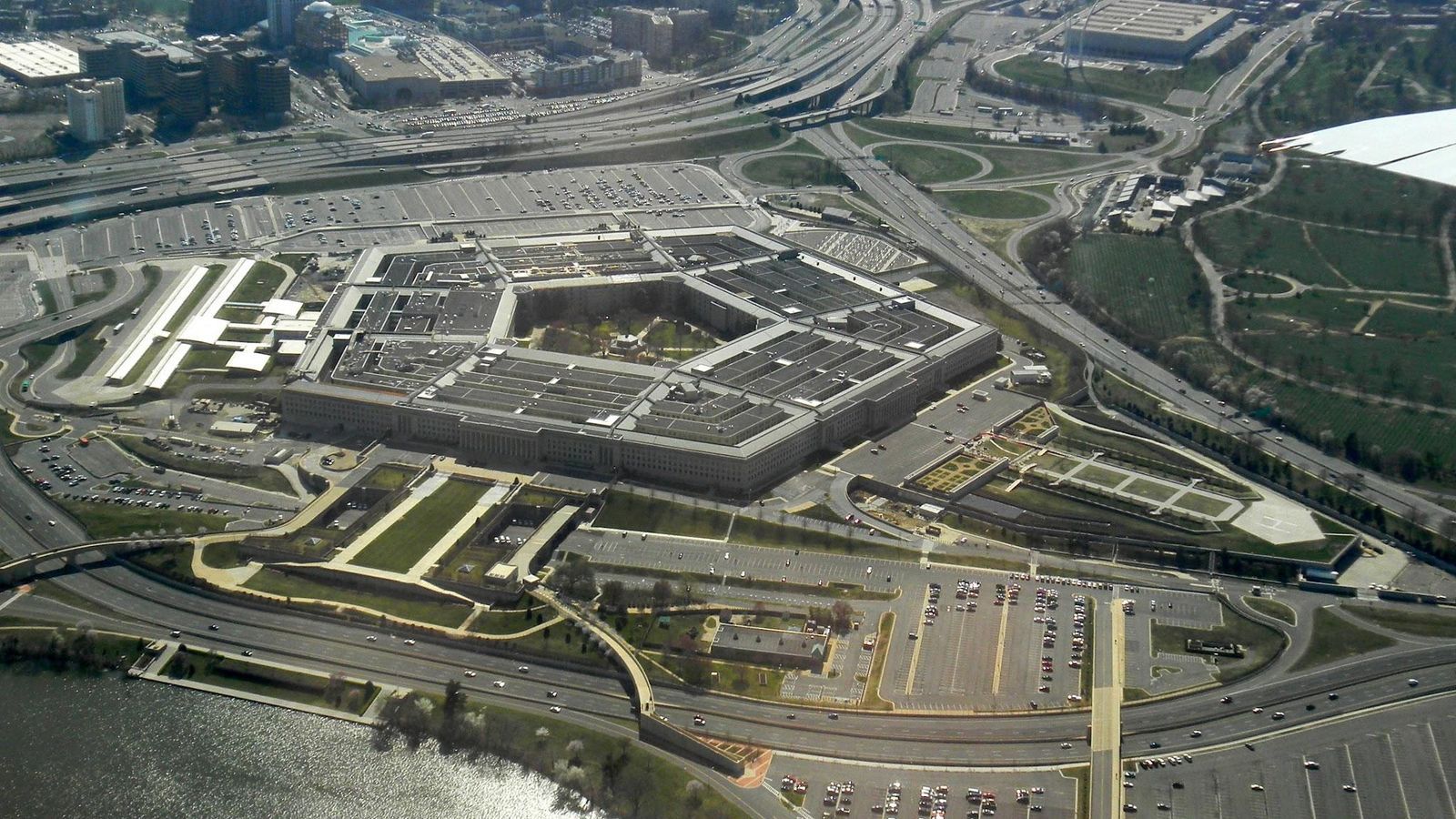
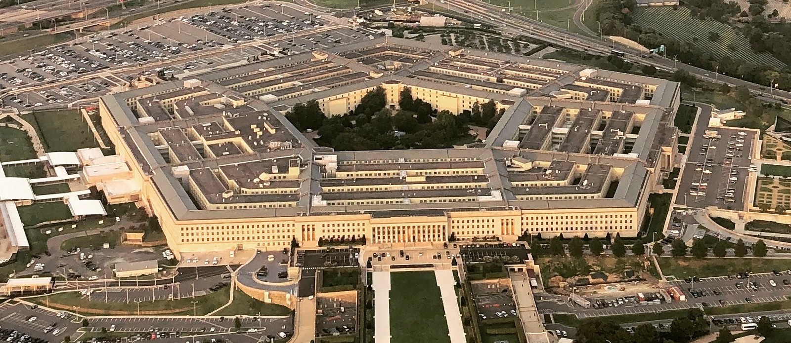
Did you know that construction on the Pentagon building began on September 11, 1941, exactly 60 years before it was attacked? The home of the US Department of Defense has stood for more than 80 years. Although its iconic shape is intriguing in itself, it hides deeper secrets that many Americans have never heard of. Did you know it feeds 26,000 people a day—at a McDonald's, a Five Guys, a Taco Bell, and over 30 other restaurants? Or that a man secretly lived inside its walls for years? Let’s dive into the Pentagon building’s secrets.

1
A renovation project saved thousands of lives on 9/11

Image: Office of the Secretary of Defense - Public Affair, Public domain, via Wikimedia Commons

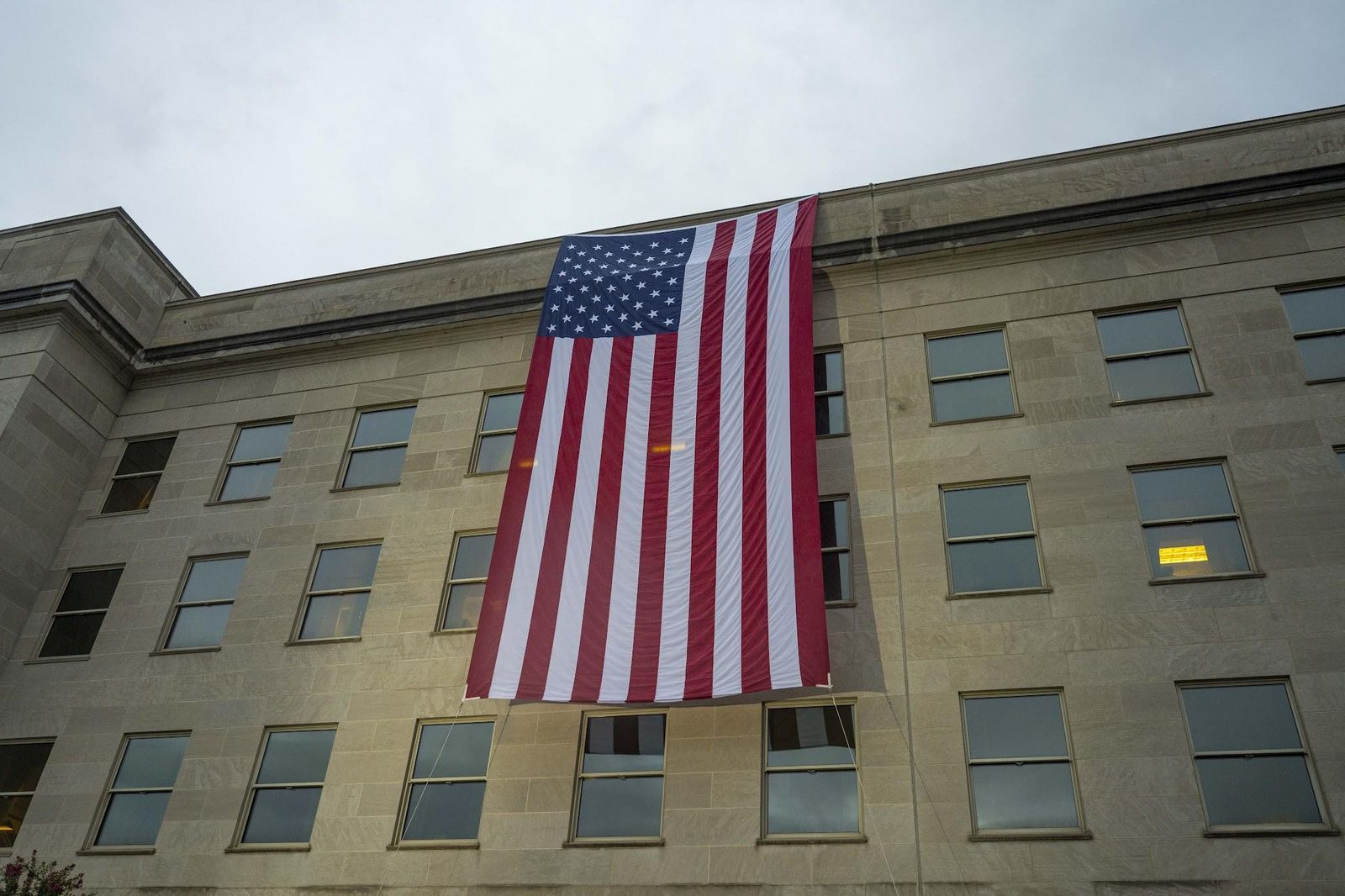
On September 11, 2001, American Airlines Flight 77 struck the Pentagon at 9:37 a.m., killing 189 people. Few people know this part: the death toll could have been much higher. But there was a renovation project underway at the time of the attacks.

The Pentagon’s five-sided structure is divided into five "wedges," and workers had been renovating them one at a time. Flight 77 struck the wedge that had just been completed. Of the 4,500 people who normally worked in that section, only about 800 had moved back in. Without the reinforced construction and the incomplete occupancy, experts believe the casualties would have been catastrophically higher.

2
The Cold War and the hot dog stand

Image: Anete Lusina

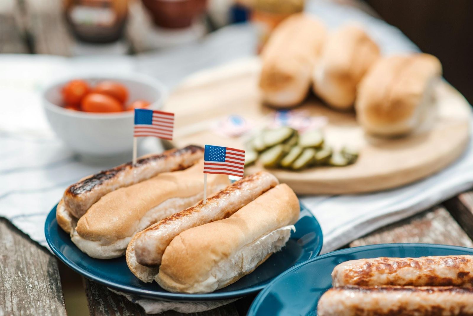
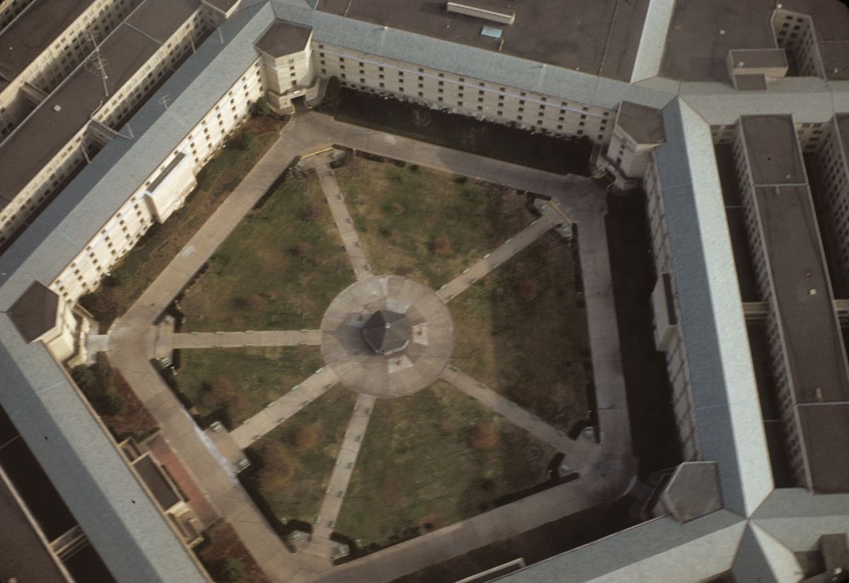
In the middle of the Pentagon’s five-acre center courtyard once stood a modest hot dog stand. According to a Cold War legend (one still retold by official Pentagon tour guides on every public tour), between the 60s and the 80s, Soviet satellite images tracked large groups of high-ranking military officials converging on that small building at the same time every day.

Soviet intelligence reportedly concluded the structure must be the entrance to some underground bunker in America. In reality, all it did was sell lunch. In 2006, the original stand was torn down, and a sandwich shop was built in its place.

3
Its construction began on September 11th, exactly 60 years before the attack

Image: Aber, Marilyn K., Public domain, via Wikimedia Commons

Builders broke ground on the Pentagon on September 11, 1941. That was exactly 60 years to the day before the September 11, 2001, terrorist attacks that would strike the same building.

Construction had been ordered by Army Brigadier General Brehon Somervell, who wanted a permanent headquarters for the Defense Department to replace its then-17 scattered offices across Washington, D.C.

The project was extraordinarily ambitious: plans called for the world’s largest office building to be completed in just 16 months. In the end, the conception, design, and construction of the entire Pentagon building took a total of 15 months.

4
The same person oversaw its construction and the Manhattan Project

Image: U.S. Army, Public domain, via Wikimedia Commons

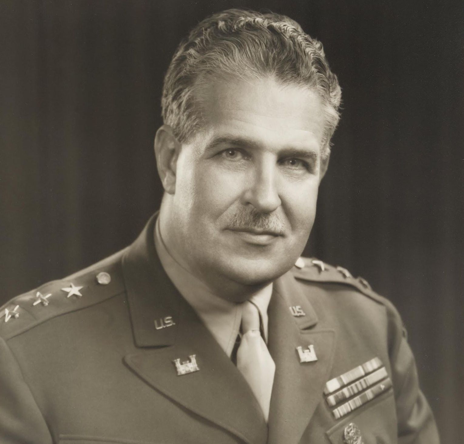
Colonel Leslie Groves of the Army Corps of Engineers took charge of Pentagon construction in August 1941. He worked six days a week and drove his team relentlessly, at one point employing more than 15,000 workers around the clock.

When the Pentagon was finished in January 1943, Groves was assigned to lead the Manhattan Project, America’s secret program to build the atomic bomb . His deputy, Captain Robert Furman, followed him into the Manhattan Project as chief of foreign intelligence. Together, the men who built the world’s largest office building went on to produce the weapon that ended World War II.

5
Why is it shaped like that?

Image: Boston Public Library, CC BY 2.0, via Wikimedia Commons

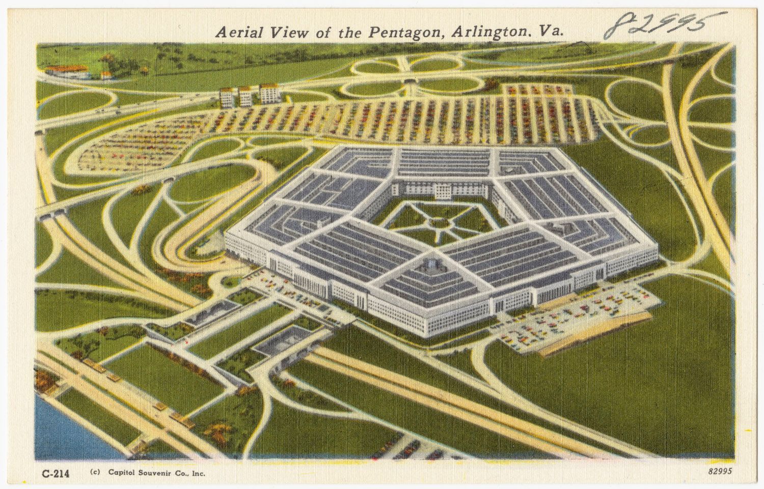
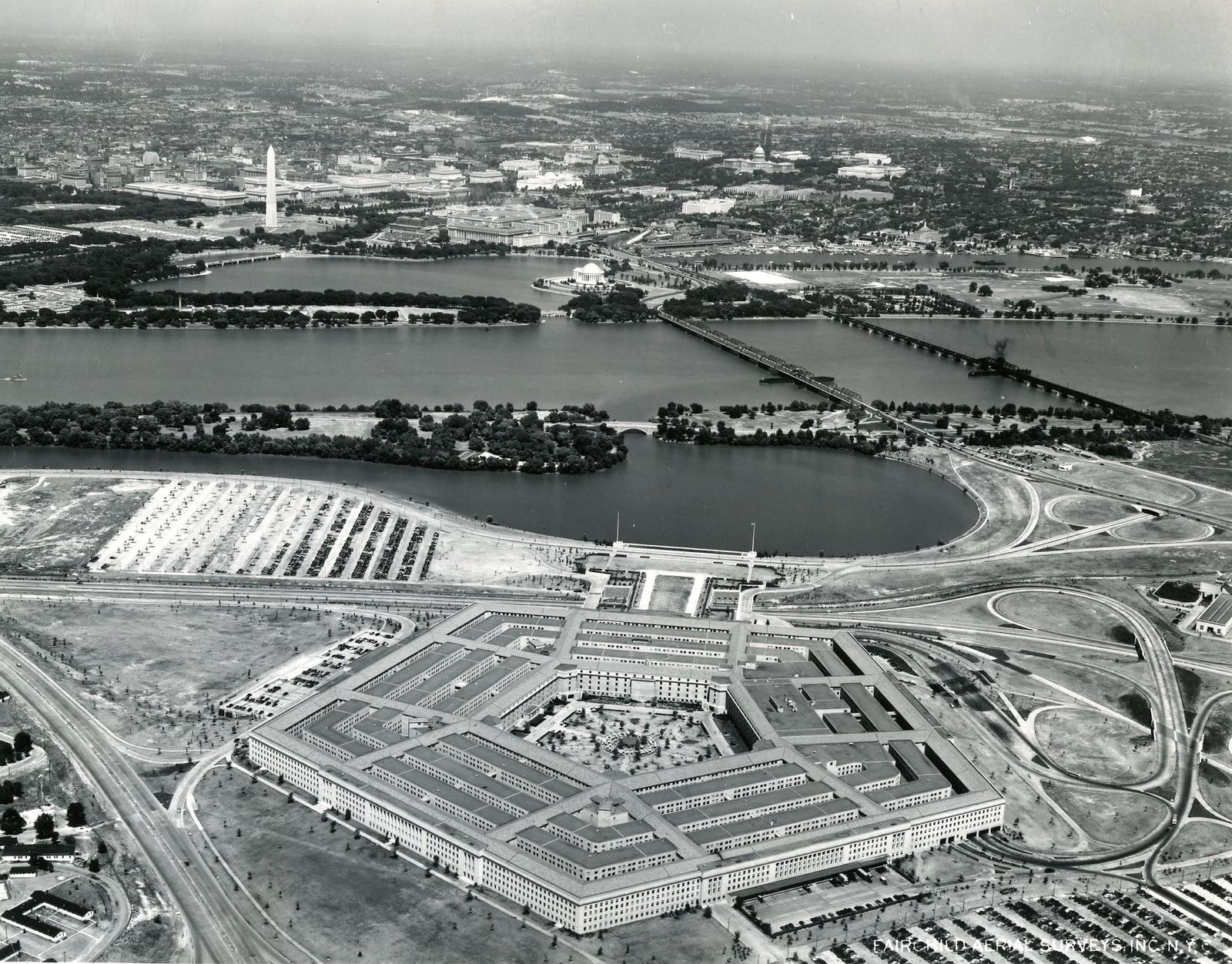
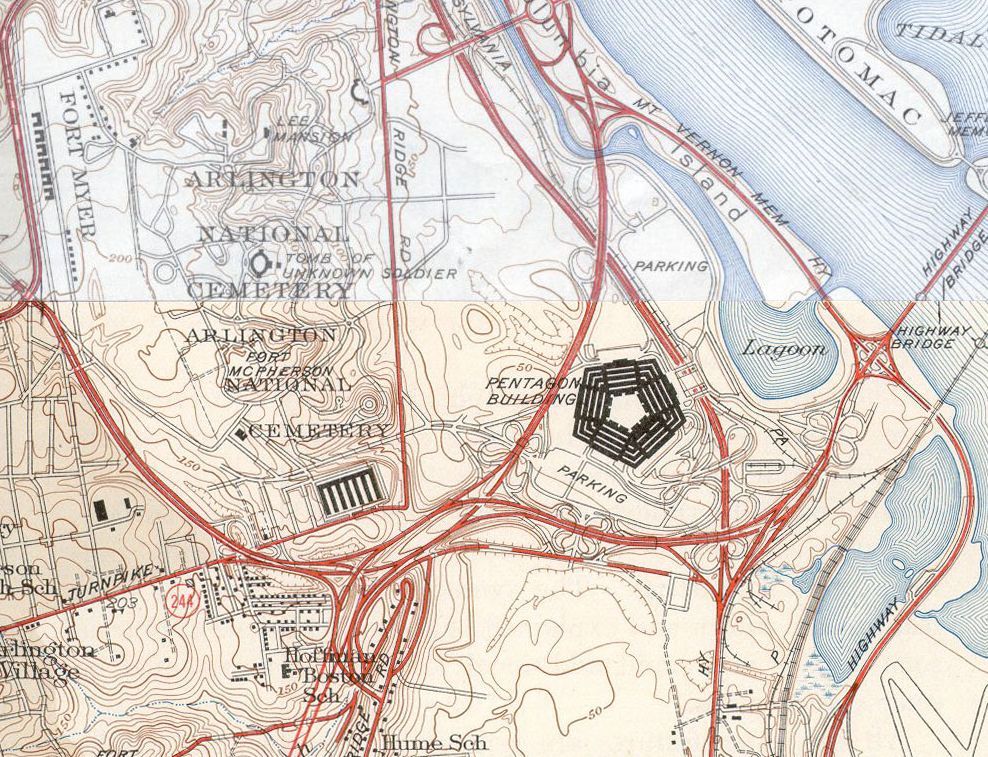
The Pentagon’s iconic five-sided shape was the consequence of a geographic accident. The original site selected for the building, near Arlington Cemetery, **happened to be bordered on five sides by roads. **Architects designed the structure to fit those boundaries, producing a pentagonal floor plan. Then President Franklin D. Roosevelt intervened: worried the massive building would obstruct the view of Washington, D.C. from Arlington, he ordered the site moved to its current location along the Potomac River. But the five-sided design had already been drawn up, and nobody changed it.

6
It was the first desegregated building in Virginia

Image: https://ddotlibrary.omeka.net/items/show/100, Public domain, via Wikimedia Commons

When the Pentagon was designed in 1941, segregation was the law in Virginia. Original plans called for doubled bathroom facilities: separate ones for Black and white employees, as required by Virginia statute. But President Roosevelt had signed Executive Order 8802 in June 1941, prohibiting racial discrimination in federal employment and government contracting.

As a federal building, the Pentagon was exempt from Virginia law. It became the only building in the state where segregation was not enforced. A fully desegregated federal workplace that opened in 1943. The doubled bathrooms were built anyway, as the plans were too far along to revise, but were never used as separately designated spaces.

7
Its construction was surprisingly frugal and incredibly fast

Image: See page for author, Public domain, via Wikimedia Commons

Ground broke on September 11, 1941, and construction finished on January 15, 1943, just 16 months later. More than 15,000 workers were on site around the clock. Wartime office shortages were so severe that employees moved into completed wings before the rest of the building was finished. Steel was too scarce to use extensively, so builders relied almost entirely on reinforced concrete. The 689,000 tons of sand and gravel required came directly from the nearby Potomac River, cutting transportation costs. The project was budgeted at $35 million, but the final bill was $63 million, which would translate to over $900 million in today’s dollars.

8
You can walk between its farthest points in only 7 minutes

Image: Bea A Carson, CC0, via Wikimedia Commons

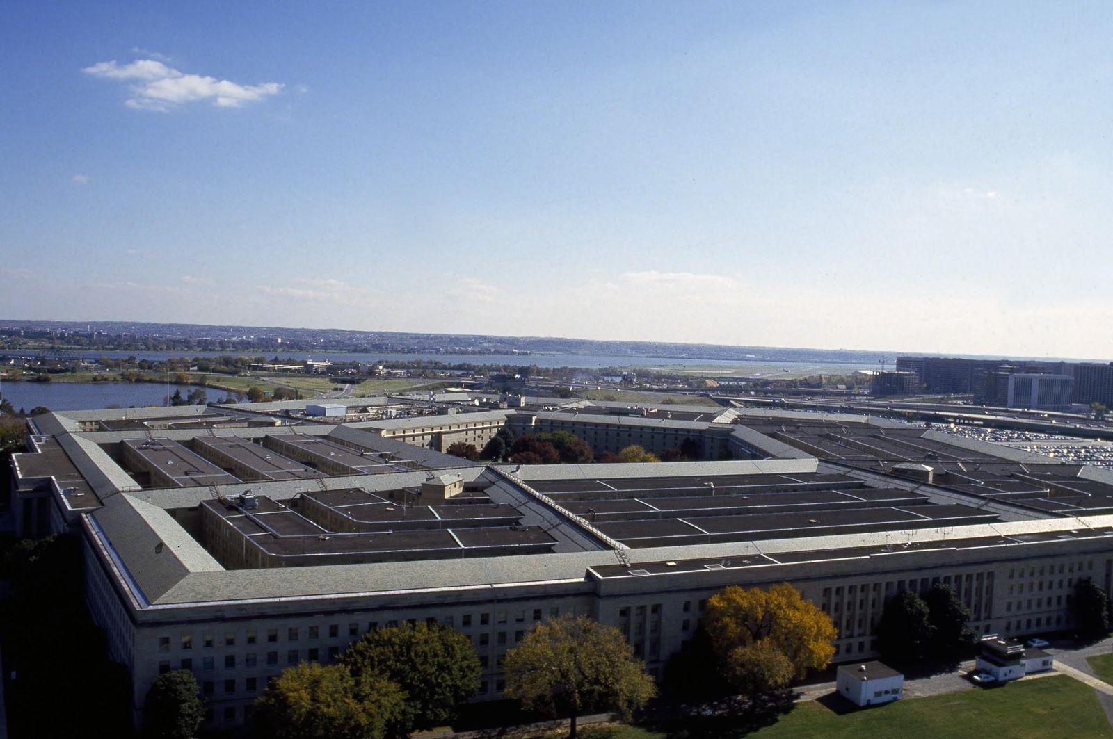
The Pentagon is the world’s largest low-rise office building: 6.5 million square feet of space, which is three times the total floor area of the Empire State Building. Each of its five outer walls is 921 feet long. It has 7,754 windows and 17.5 miles of corridors. Approximately 26,000 military and civilian employees report for work there every day.

Despite that scale, the building’s concentric ring design is so efficient that it takes only about seven minutes to walk between its two farthest points.

9
The man who secretly lived inside its walls

Image: Carol M. Highsmith, Public domain, via Wikimedia Commons

During construction, Colonel Groves drove his deputy, Captain Robert Furman, so relentlessly that Furman rarely left the building. To cope, Furman had contractors build him a small, windowless apartment hidden inside the walls of the Army’s Ordnance Division. In this private room, he could sleep and shower without leaving the premises.

When construction ended and personnel dispersed, knowledge of the hidden room was never passed on to building management. Months later, when Furman returned to Washington on Manhattan Project intelligence business, he found the apartment undiscovered and exactly as he’d left it.

For over a year, he would slip back to the Pentagon, pop open a wall panel, spend the night, and emerge in the morning with his suitcase. He was finally caught in 1943 and forced to surrender the keys. It was never disclosed whether the secret apartment was maintained or eventually absorbed back into the official floor plans.

10
It houses over 30 restaurants, including everyone's favorite chains

Image: Harrison Keely, CC BY 4.0, via Wikimedia Commons

The Pentagon feeds roughly 26,000 people a day, and its dining options read less like a military headquarters and more like a mall food court. The main Concourse Food Court, which opened in September 2009 and seats 875 people, is the largest of several dining areas.

Confirmed chains currently inside the building include McDonald’s, Five Guys, Subway, Popeyes, Starbucks (multiple locations), Dunkin’ (two locations), Panera Bread, Taco Bell, Panda Express, Baskin-Robbins, Potbelly, Jamba Juice, and Moe’s Southwest Grill, among others. The building also houses a CVS pharmacy, a florist, a jeweler, and a dry cleaner. In the summer of 2024, Potbelly became the first restaurant to open in the center courtyard. Yes, the very spot where the legendary Cold War hot dog stand once stood.

General General 3 min read

Say cheese!

Did you know your phone's camera can do this?

Image: César Guadarrama Cantú

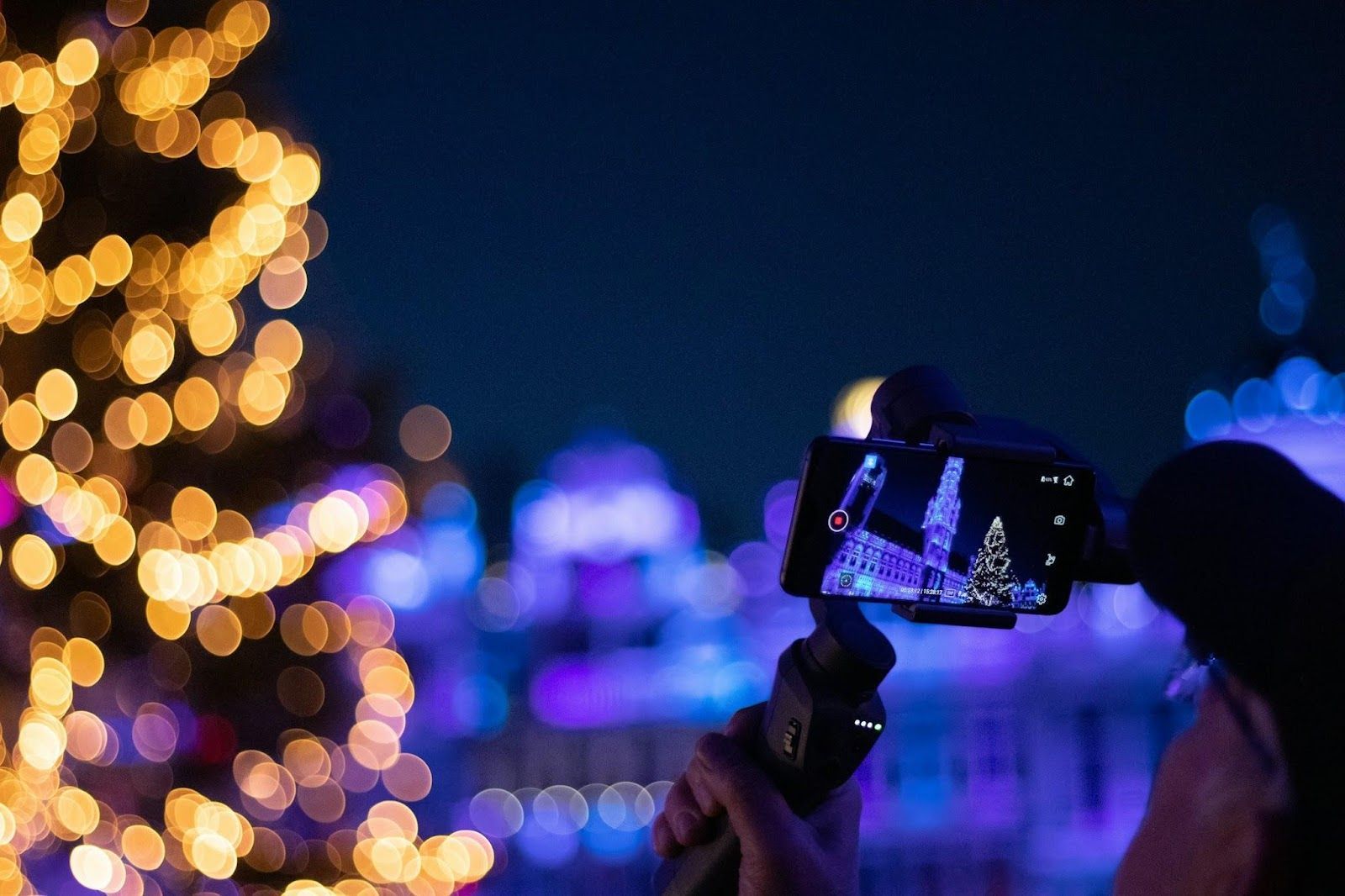
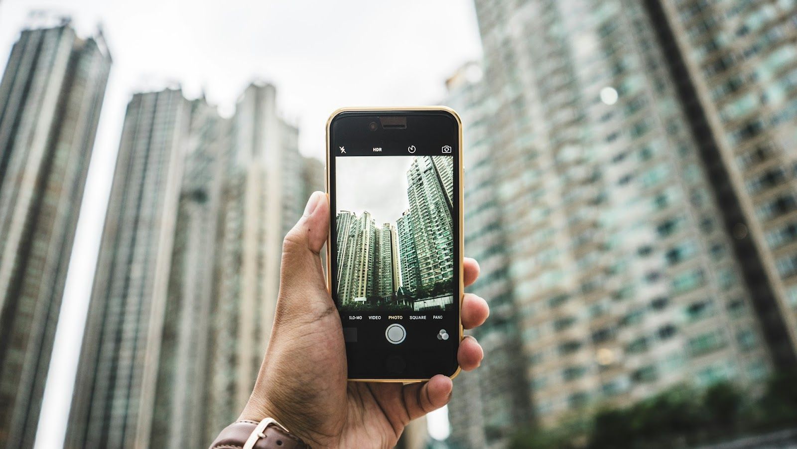
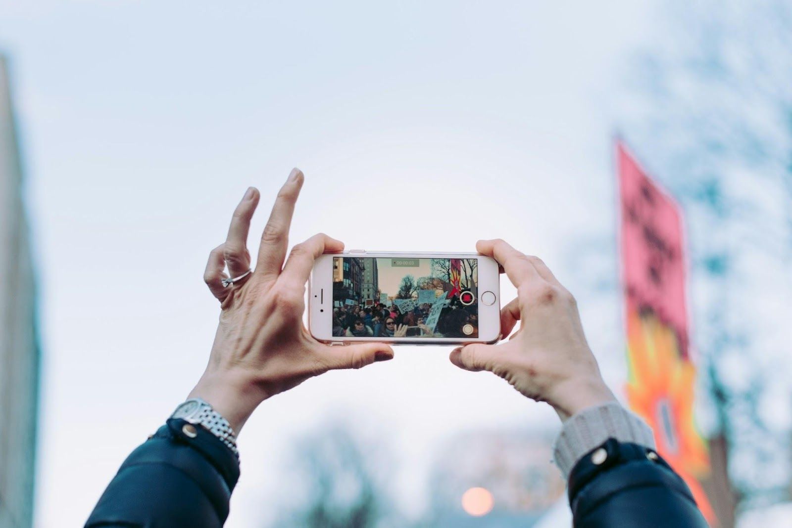
Each year, our smartphones’ cameras improve, with superior lenses and new features that allow savvy users to take incredible photos. Many of those same capabilities are already available on your device. How many of these tricks do you know?

1
Clean your lens

Image: Mika Baumeister

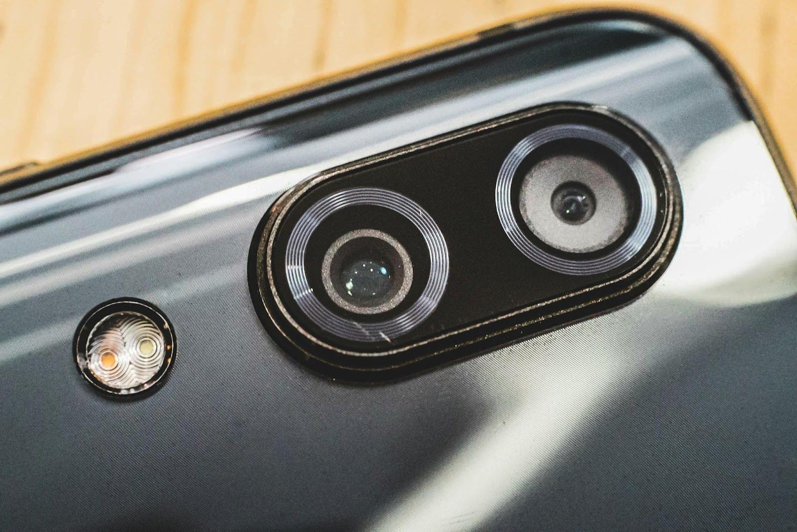
We’ll start with probably the most essential—and somehow most overlooked—tip: take a moment to clean your smartphone’s camera lens. Over time, it can accumulate dust and smudges, which can result in hazy or blurry photos.

Give it a quick wipe with a soft, lint-free cloth . It can make a significant difference in the clarity of your shots.

2
Investigate your camera app

Image: Brett Jordan

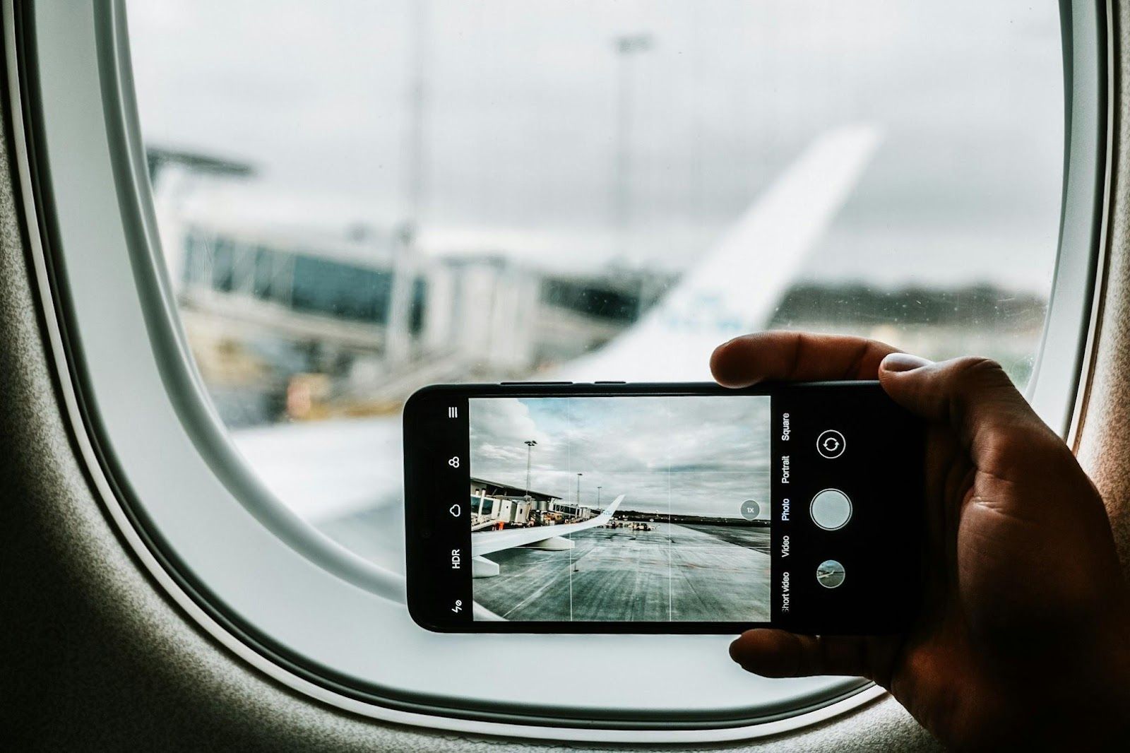
Almost every single smartphone comes with a default camera app that’s user-friendly and packed with features. Take some time to explore it , learn how to switch between photo and video modes, and familiarize yourself with settings like Portrait Mode, Night Mode for low-light shots, and Panorama Mode for landscapes.

3
Use gridlines

Image: Jonathan Kemper

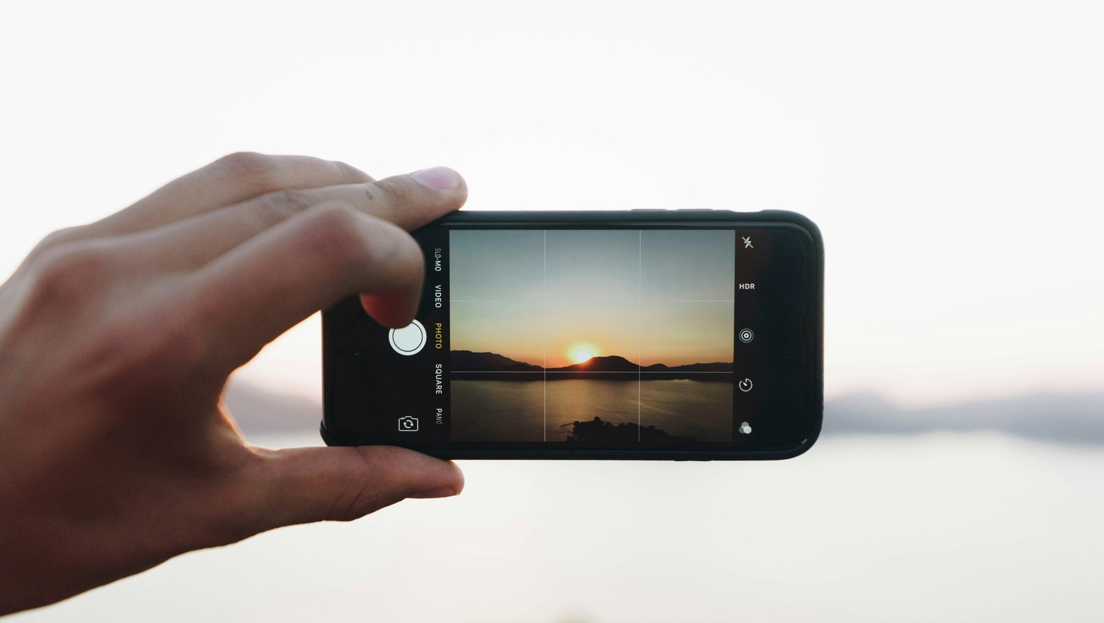
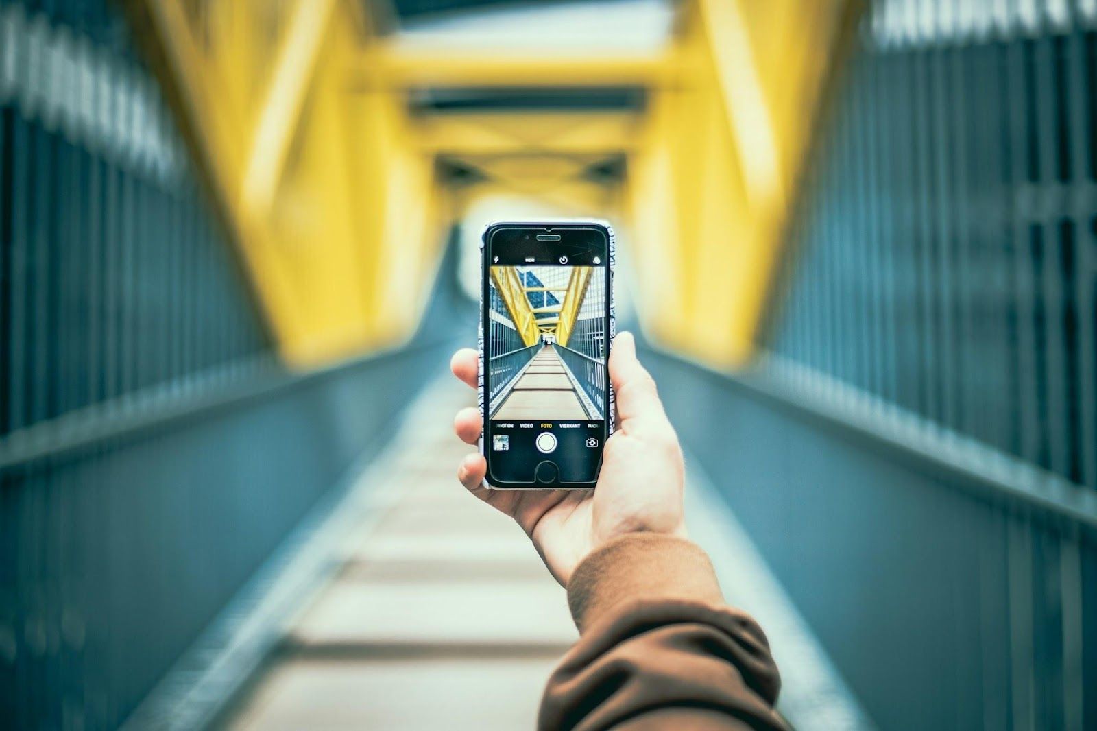
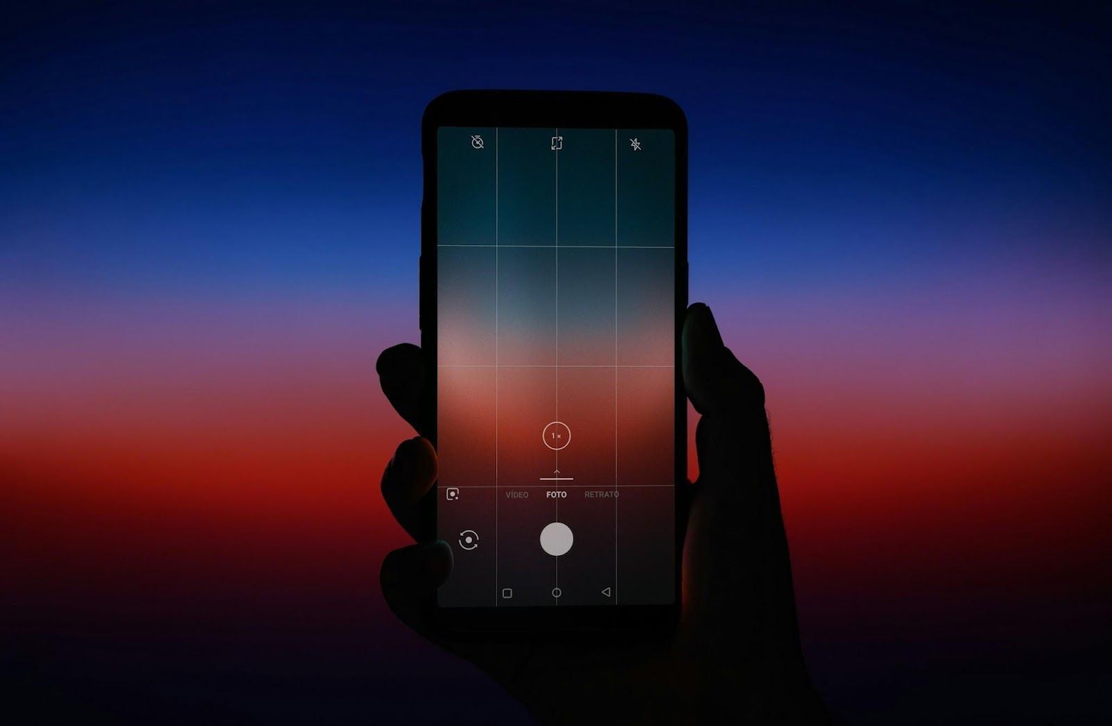
Gridlines allow you to center your focal points and enhance the visual appeal of your photos. Most mobile camera apps let you turn them on easily. These gridlines strategically divide your screen into thirds , both horizontally and vertically, adding balance and symmetry to your shot .

4
Focus and exposure control

Image: François Genon

Focus and exposure are two of the most important settings you can adjust in a manual camera to achieve different effects in photography. Fortunately, both functions are available on most modern smartphones.

By playing with different focus and exposure points, you can highlight a specific subject against a blurred background or ensure a well-balanced shot in difficult lighting conditions.

5
Lighting

Image: Ben White

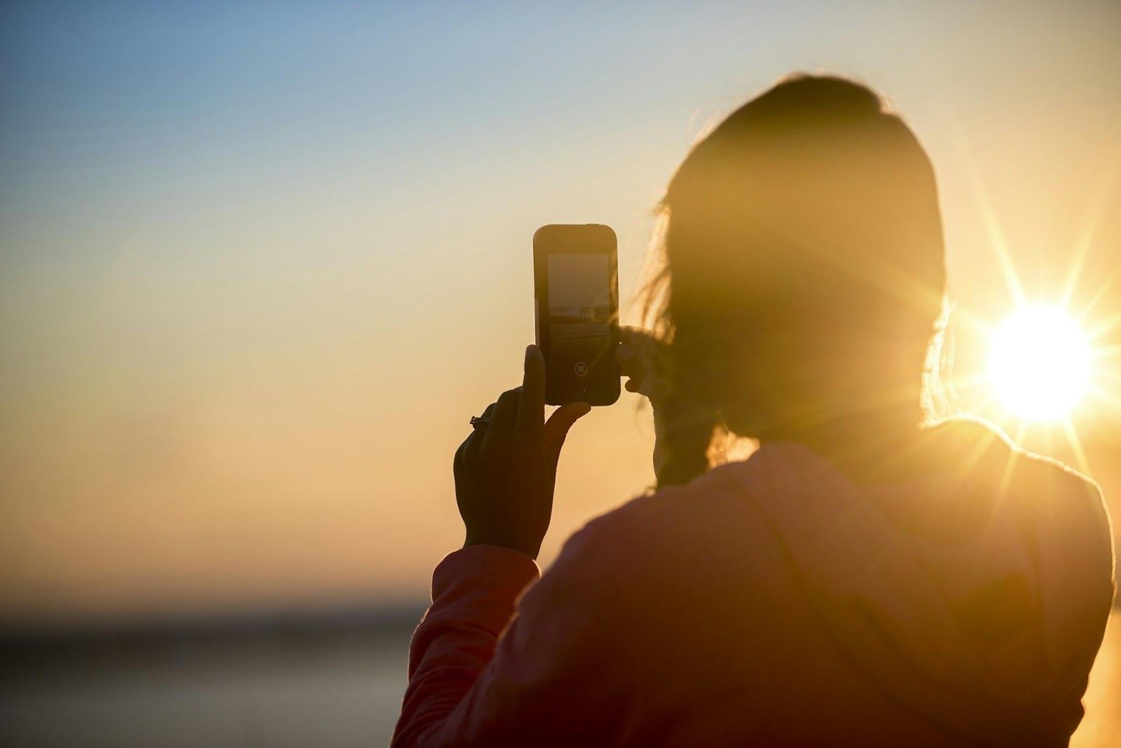
Always try shooting in natural light, often referred to as available light, whenever the opportunity arises. Natural light gives a gentle, even illumination that can significantly enhance the quality of your photos.

Avoid harsh, direct sunlight, which can create intense and unflattering shadows, potentially leading to overexposed or underexposed areas. If you're shooting in low light, rest your phone on a flat surface to stabilize it for long exposures.

6
Play with composition

Image: Eaters Collective

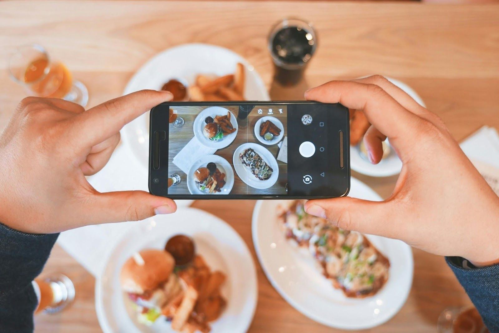
Experiment with different angles and perspectives to enhance your subject. Don't be afraid to get low or high for a unique viewpoint. Also, pay attention to what’s in the background and eliminate any distractions that might detract from your subject.

7
Take pictures often

Image: Ferdinand Stöhr

Practice makes perfect. Since your phone is always with you, it’s easy to integrate photography into your daily routine. Whether you snap a selfie or take a few shots on your way to work, there’s no wrong way to be a smartphone photographer. Great photos often come from everyday life.

8
Take many shots

Image: The Free Birds

Long gone are the days when you had only 36 exposures in your camera and had to choose each shot carefully. One of the best things about smartphones is that you can take as many photos as you want, and there is no need to print them to see the results . This makes it much easier to learn and improve as you go.

9
Avoid digital zoom

Image: Redd Francisco

Digital zoom generally produces poor-quality images, even on the best smartphones. Avoiding it is one of the basic photography tips for taking better photos. Instead of using a digital zoom, simply move closer to your subject to maintain image quality.

10
Use HDR

Image: Kote Puerto

HDR stands for High Dynamic Range, and it’s a common feature on many smartphones. It enhances detail in both dark and light areas to provide a more balanced exposure . HDR prevents the sky from becoming too bright or the ground from appearing too dark, making it especially useful for landscape photography.

11
Set a high resolution

Image: TheRegisti

Simply put, the higher the resolution of your photo, the better quality it is . When taking pictures, try to get as close to the subject as possible, rather than zooming in. Take advantage of the higher pixel count.

12
Aspect ratio

Image: Alice Donovan Rouse

The aspect ratio determines the width and height of your photograph . The standard 4:3 ratio is versatile, but you can also choose widescreen 16:9 for a cinematic look or square 1:1 for Instagram-ready shots.

Explore more American facts

Choose your favorite category!

General
General

As American as apple pie—the very best America has to offer!

Culture
Culture

Delve into the astounding richness of American lore.

Geography
Geography

Hop in and explore vast and diverse American landscapes.

History
History

Discover the key moments that shaped the United States.