Geography Geography 4 min read

National gems of the US

Some of the US's most breathtaking national parks are the ones few visit
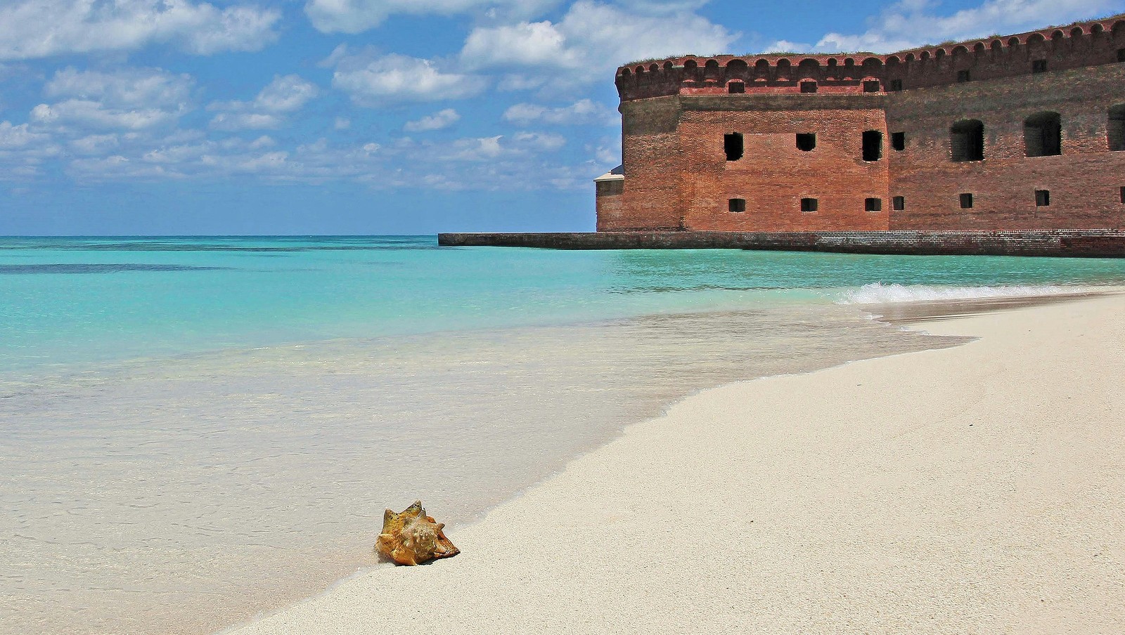
Image: Christopher Osten

The National Park Service reports that over 12 million people visit the Great Smoky Mountains Park every year. Be warned: it may not be the isolated haven you were looking for. If you want to visit less crowded national parks that are just as interesting and scenic, here is a list of suggestions .

1
Dry Tortugas National Park, Florida
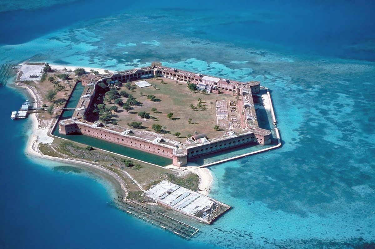
Image: U.S. National Park Service, Public domain, via Wikimedia Commons

Located about 70 miles west of Key West, Dry Tortugas National Park is one of the most isolated national parks in the country , accessible only by ferry or seaplane. About 99% of the park is water. Its main landmark is Fort Jefferson, a massive unfinished 19th-century coastal fort built with more than 16 million bricks.

Visitors often go for a day trip, but camping is available for those looking for an overnight experience. The park also offers snorkeling, swimming, and birdwatching.

2
White Sands National Park, New Mexico
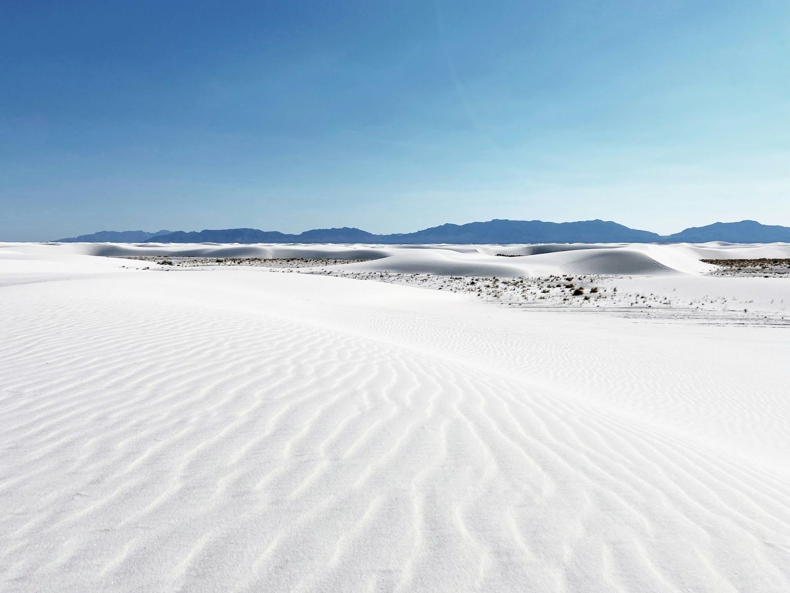
Image: Joonyeop Baek

White Sands National Park protects the world’s largest gypsum dune field, covering about 275 square miles in southern New Mexico. Here is the difference between gypsum and typical sand: the former does not absorb heat the same way, so the dunes remain relatively cool underfoot, even in hot weather.

The park is known for activities like dune sledding, hiking marked trails , and scenic drives through the shifting landscape. While its distance from major cities means it stays less crowded than others, the park is still easily accessible by car.

3
Big Bend National Park, Texas
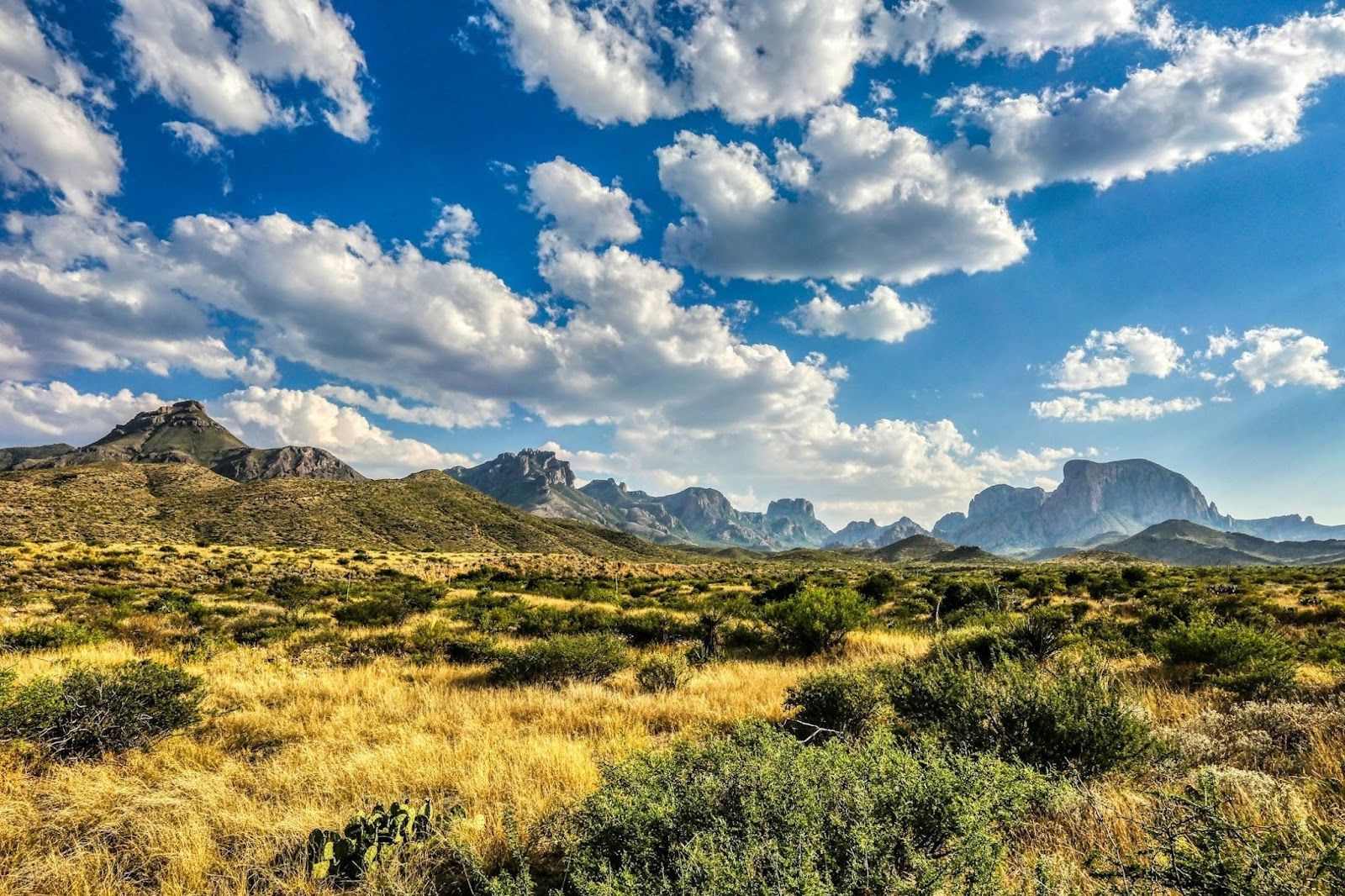
Image: Mick Haupt

Big Bend National Park covers more than 800,000 acres along the Rio Grande, which forms the natural border between the United States and Mexico. It’s one of the least visited national parks of its size, largely because of its remote location in southwest Texas.

Those who visit come for the Ross Maxwell Scenic Drive, hikes into Santa Elena Canyon, and some of the best stargazing in the country. The Greater Big Bend International Dark Sky Reserve, spanning over 15,000 square miles, is the world’s largest certified "Dark Sky," an area where light pollution is regulated to preserve wildlife, aid astronomical research, and allow visitors to enjoy a stunning night sky.

4
Pinnacles National Park, California
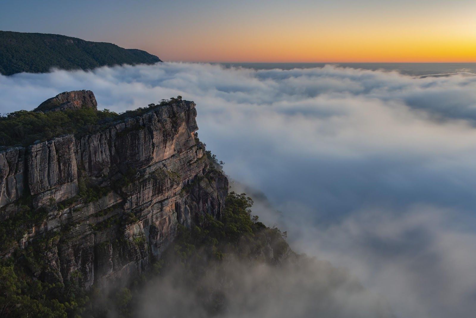
Image: Mo

This national park might be one of the newest —it was designated in 2013—, but that doesn’t mean that its unique rock formations are recent. They were created by an ancient volcanic field that has shifted over millions of years.

The park is best known for its talus caves, one of the few places where you might spot the endangered California condor in the wild. Located about 80 miles southeast of San Jose, it’s relatively accessible but still far less crowded than parks like Yosemite .

5
Isle Royale National Park, Michigan
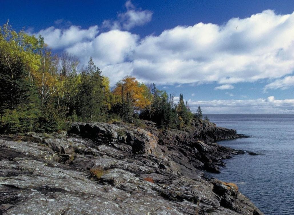
Image: English: NPS staff, Public domain, via Wikimedia Commons

This island sits on Lake Superior and is one of the least visited national parks in the United States, receiving only a small fraction of the visitors seen at major parks. It’s only accessible by ferry or seaplane, and has no roads or cars.

This makes it an ideal destination for hikers, backpackers, and kayakers. Keep in mind, though, that the park is only open from mid-April through October due to harsh winter conditions.

6
Mammoth Cave National Park, Kentucky
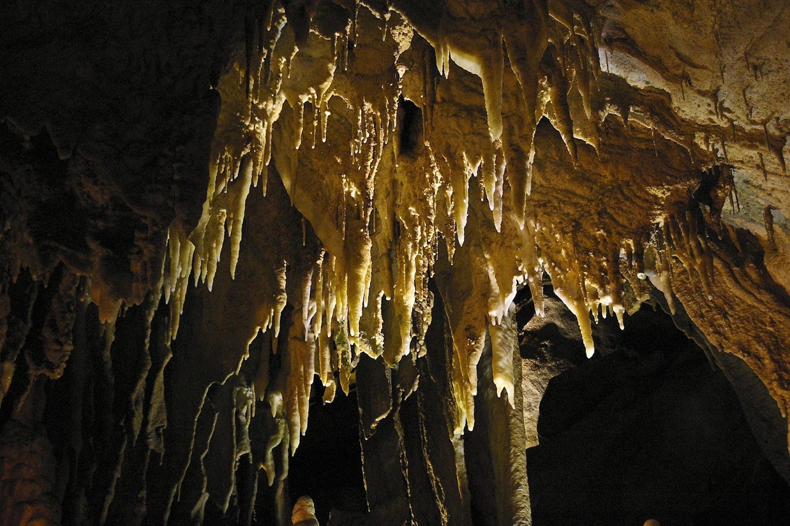
Image: Niagara66, CC BY-SA 4.0, via Wikimedia Commons

Mammoth Cave National Park protects more than 400 miles of mapped underground passages . That makes it the longest cave system in the world —and scientists believe there are hundreds of miles left to be discovered.

Guided tours are available, ranging from easy walking routes to more physically demanding crawls. Even above ground, the park offers hiking, biking, and canoeing along the Green River.

7
Voyageurs National Park, Minnesota
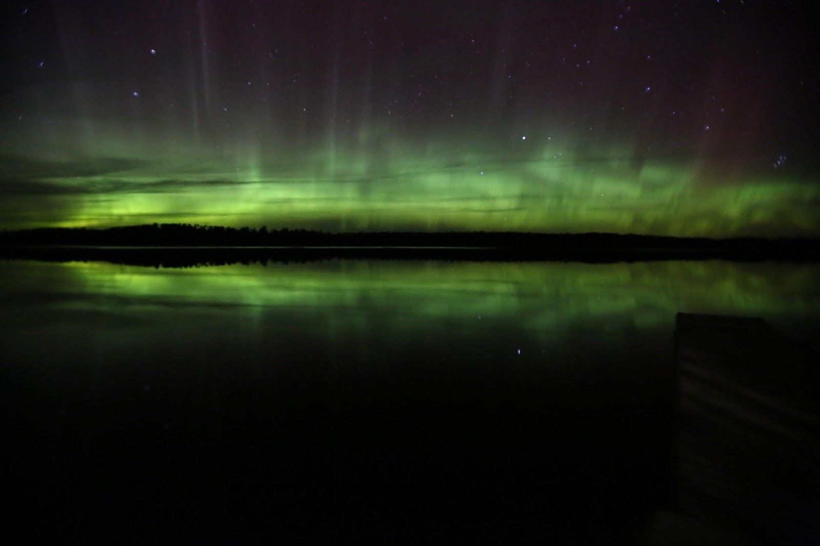
Image: English: NPS, Public domain, via Wikimedia Commons

Voyageurs National Park is named after French-Canadian fur traders who once traveled these waterways. It is made up of nearly 40% water, with a network of interconnected lakes along the Canadian border. That means you can explore it by boat, kayak, or canoe.

Its isolation and lack of light pollution also make it ideal to enjoy gorgeous night skies —to gaze at the stars, the Milky Way, or even the Northern Lights.

8
North Cascades National Park, Washington
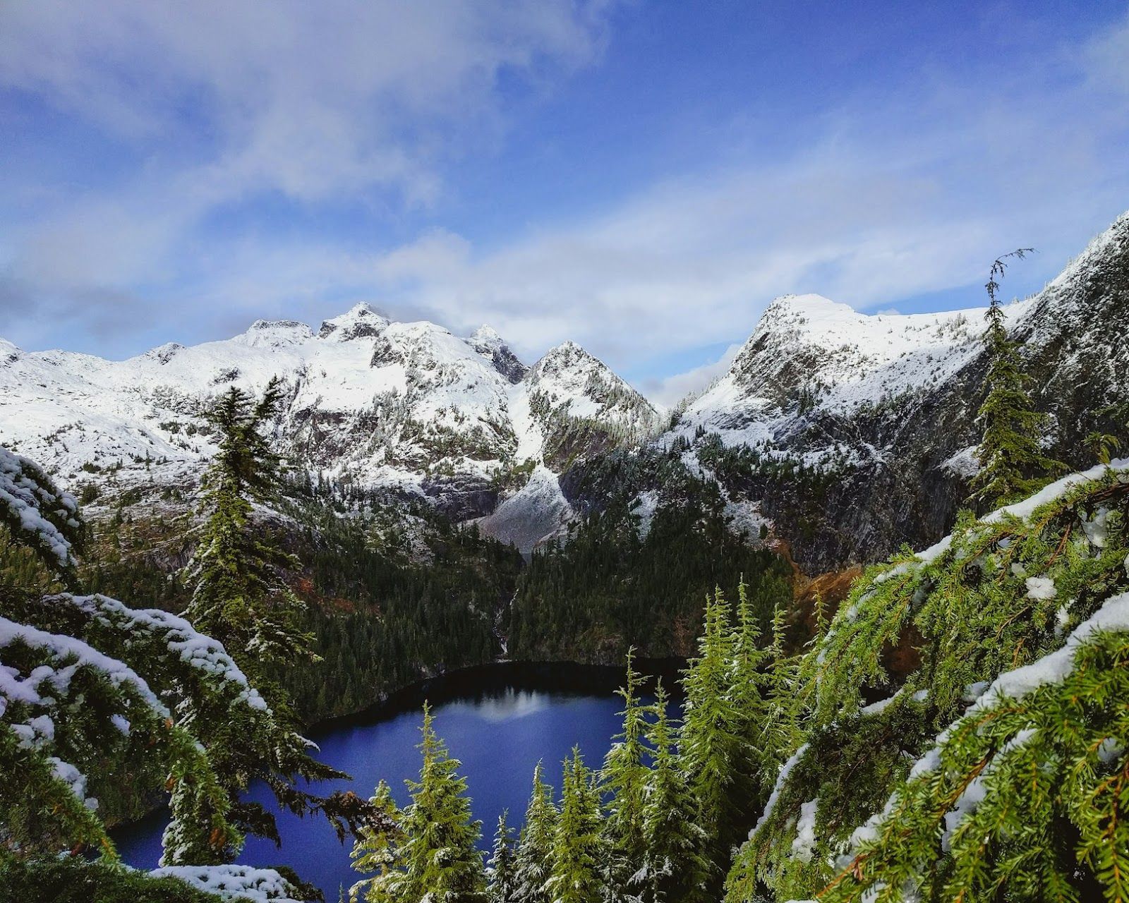
Image: Trevor Vannoy

North Cascades National Park is one of the most glaciated areas in the contiguous US, with around 300 glaciers. Located about a three-hour drive from Seattle, it remains one of the least visited national parks, largely because it lacks the easy roadside viewpoints found in places like Yellowstone.

Its highlights include Diablo Lake and the Cascade Pass trail. Summer and early fall offer the best access, as many roads and trails are closed by snow in winter.

9
Wrangell-St. Elias National Park and Reserve, Alaska
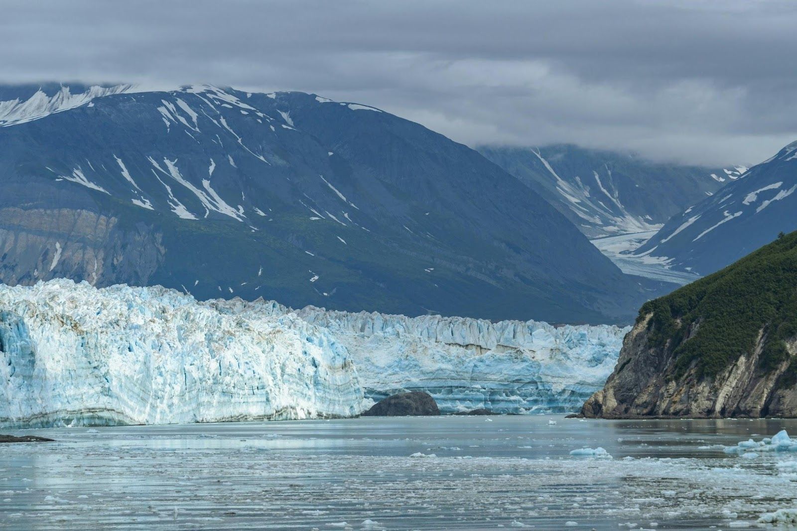
Image: Mick Kirchman

Wrangell–St. Elias National Park and Preserve spans about 13.2 million acres. That means it’s larger than Yellowstone, Yosemite, and Switzerland combined . The park includes some of North America’s tallest peaks, massive glaciers, and historic mining sites like the Kennecott Copper Mine. Most travelers can explore it via small aircraft, guided tours, or long-distance hiking trips.

10
Petrified Forest National Park, Arizona
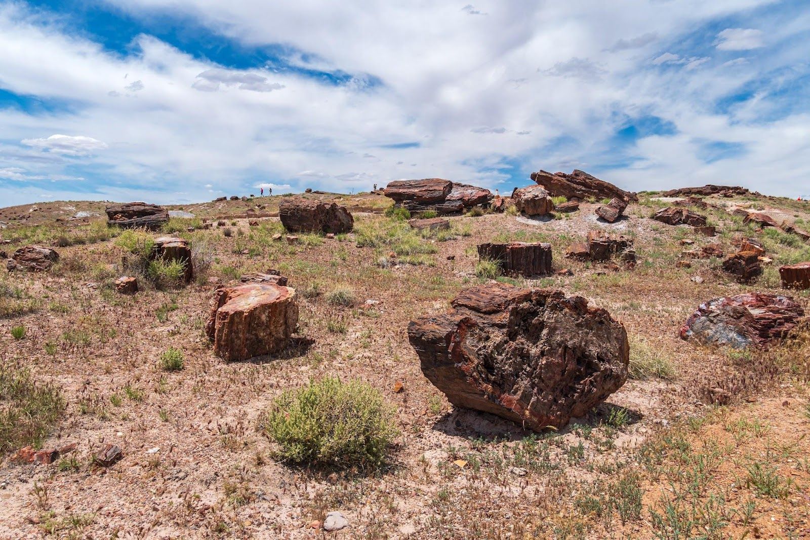
Image: dconvertini, CC BY-SA 2.0, via Wikimedia Commons

Petrified Forest National Park is known for its large deposits of petrified wood, trees that lived over 200 million years ago and have since turned to stone. The park also includes sections of the Painted Desert, with layered rock formations in shades of red, purple, and orange . It can be easily explored by car, with a scenic drive connecting major viewpoints and short trails.
Geography Geography 6 min read

Territorial anomalies

There's a country within the US that was created to avoid double taxation

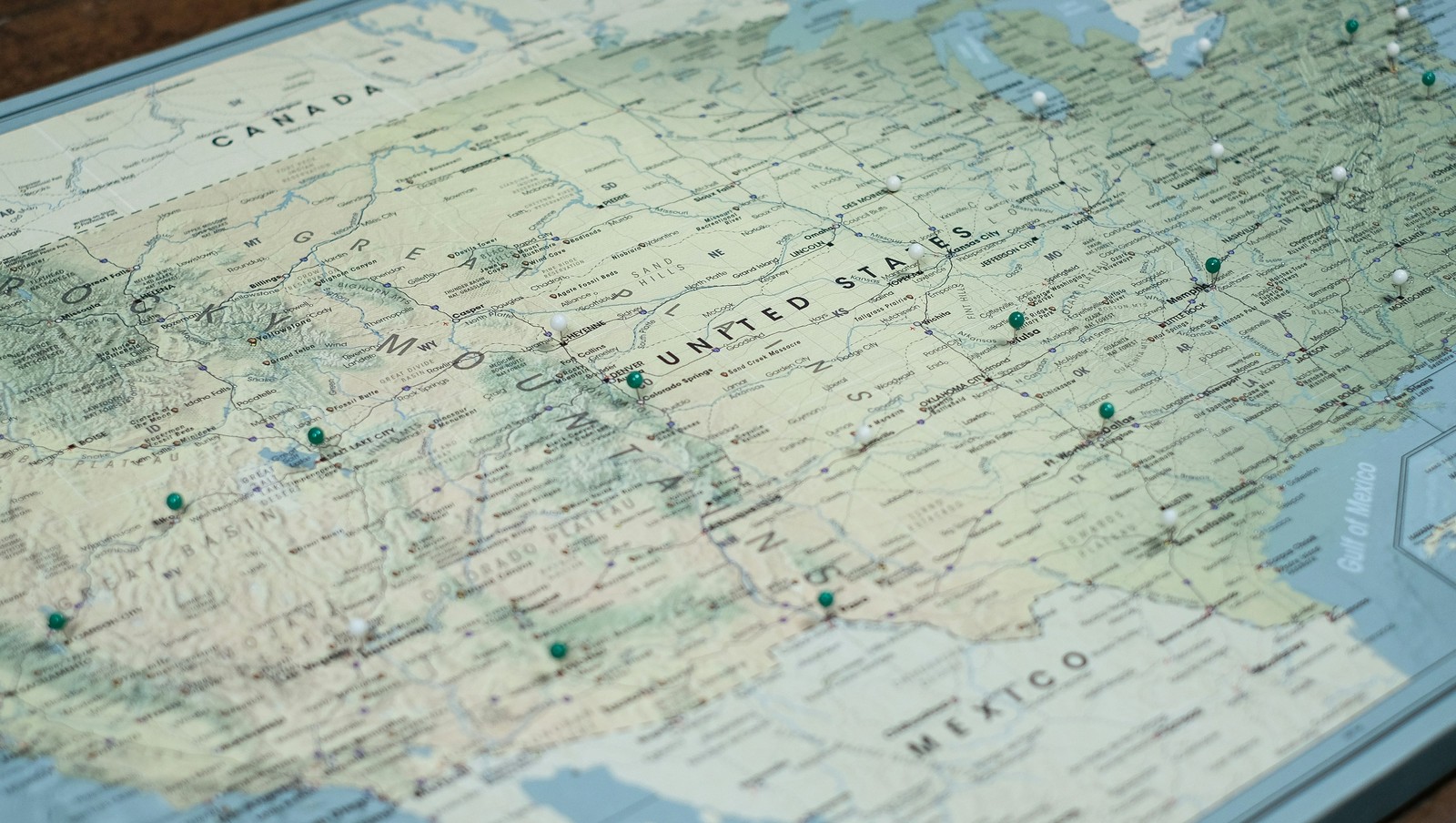
Image: Pin Adventure Map

Ever thought about how the borders in our country were defined ? States that almost became official, U.S. points that are only accessible through Canada's borders, territorial feuds over taxes, and more have constructed the limits of the country we know today. Here are 10 territorial quirks you probably never knew of.

1
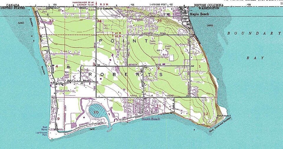
Point Roberts, WA: The 49th parallel accident

Image: United States Geological Survey, Public domain, via Wikimedia Commons

Imagine if you had to cross two borders just to get to the market for a gallon of milk. That’s actually a reality for residents of Point Roberts, Washington. That’s because, following the Anglo-American Convention of 1818, the 49th parallel divided Canada and the U.S. In 1846, the line was extended westward and then officially recognized by the International Boundary Commission in 1925.

However, a tiny tip of the Tsawwassen Peninsula poked out just below that line. Since then, the locals have lived in a boundary quirk. To get to the rest of Washington State by land, they must drive through Canada, show their passports, and do it all over again on the way back.

2
Statue of Liberty: Common misconception

Image: Mohamed Osama

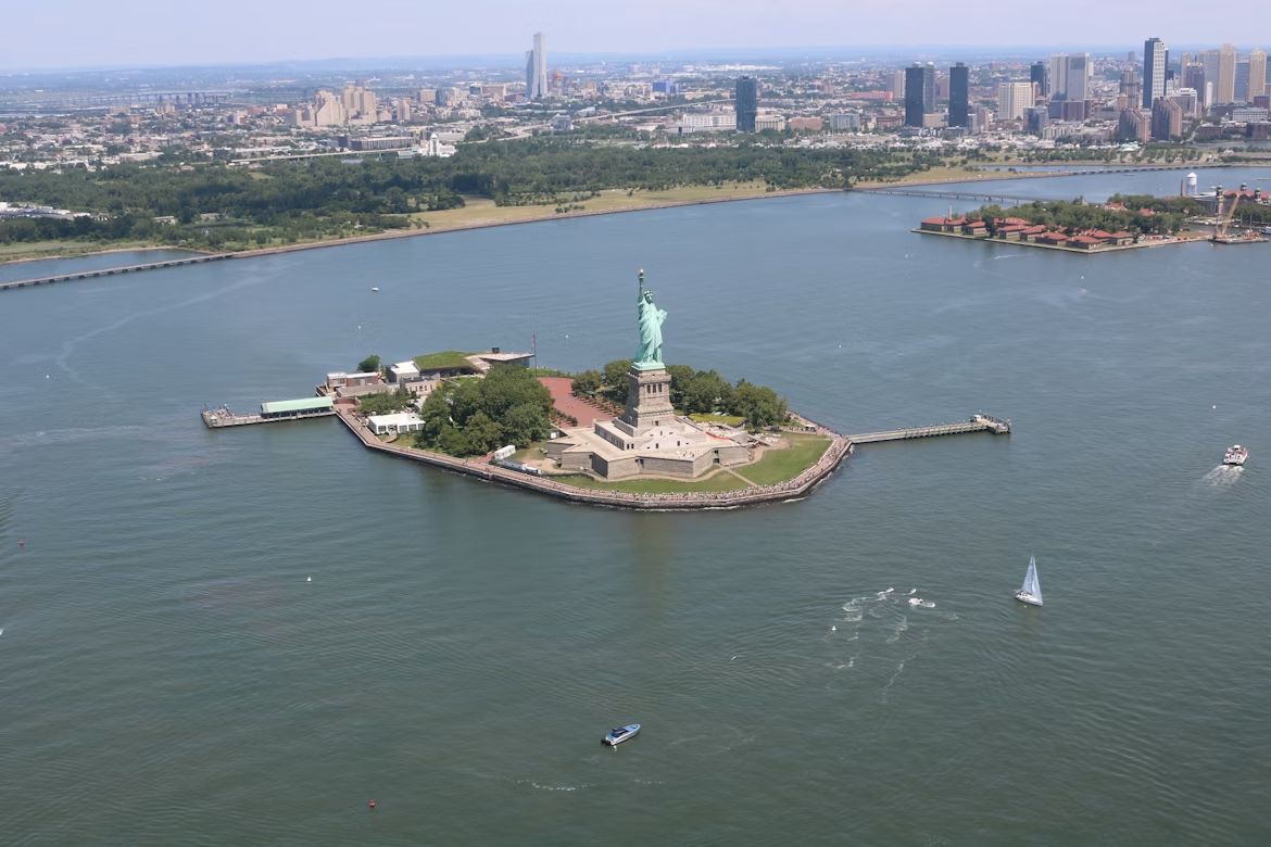
If you want to start a friendly argument at a dinner party, ask whether the Statue of Liberty lives in New York or New Jersey. The funny thing is, both answers are technically right . While the statue physically sits in the waters of the Garden State, Liberty Island is legally an exclave of New York. This dates back to a 1664 land grant by the Duke of York in a document so vague and confusing that it took a 1834 Compact between the two states to settle the deal. New Jersey gets the water and the submerged lands, but New York keeps the monument.

However, the Federal Government actually manages the site through the National Park Service (NPS), providing security and maintenance.

3
The State of Franklin: Failed 14th state

Image: Bennett1203, CC BY-SA 4.0, via Wikimedia Commons

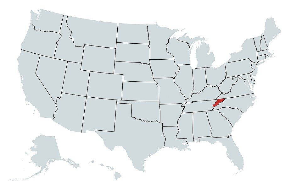
In 1784, three counties in North Carolina felt neglected by their government and decided to strike out on their own . They even elected a governor, John Sevier, and printed their own money. They came just two votes short of being recognized by Congress as a formal state.

Eventually, things got heated, and North Carolina sent troops, leading to a small civil war between the locals. By 1789, the dream of Franklin was buried, and the territory became part of Tennessee.

4
Kentucky Bend

Image: Brian Stansberry, CC BY 4.0, via Wikimedia Commons

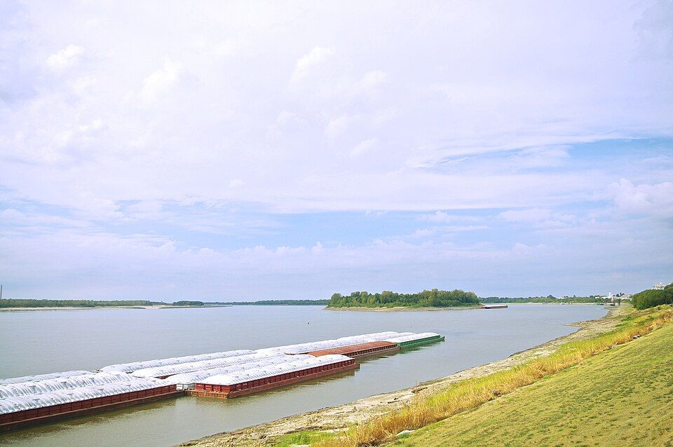
If you look closely at a map, there’s a piece of Kentucky that looks like it doesn’t belong. That’s the Kentucky Bend, also called the New Madrid Bend, a tiny peninsula in Fulton County that is almost completely separated from the rest of the Bluegrass State . The strange situation was the consequence of the massive series of earthquakes that took place in that area between 1811 and 1812, which were so violent they famously caused the Mississippi River to flow backwards for several hours. When the dust settled, the river had carved a new path that looped around this small patch of land, surrounded by Missouri and Tennessee instead of Kentucky. The 9 residents living there today go through Tennessee just to get to their home state.

5
The State of Deseret: The empire that almost was

Image: Carl Radefeld (cartographer); Joseph Meyer (publisher), Public domain, via Wikimedia Commons

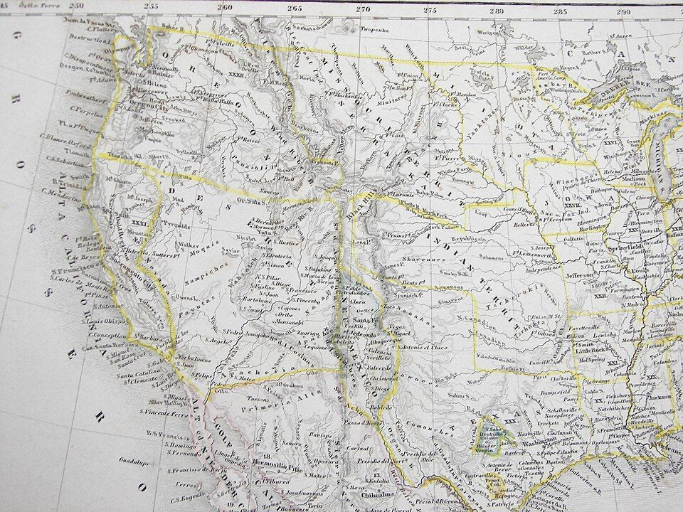
Imagine a state so big it makes Texas look tiny. That almost happened back in 1894, when Mormon pioneers proposed the State of Deseret. The territory comprised what we now know as Utah, most of Nevada, parts of Arizona and Colorado, and a massive chunk of the California coast, including San Diego.

Had it been formalized, it would have been a powerhouse with its own seaport and total control over the West. However, Washington, D.C. wasn’t so keen on one group having that much territory and power, so they whittled it down, and we ended up having the states we know today.

6
The lawless "No Man's Land"

Image: Steve Shook from Moscow, Idaho, USA, CC BY 2.0, via Wikimedia Commons

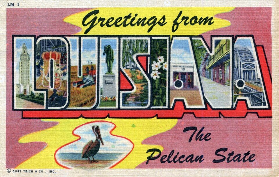
Have you ever wondered what happens when two governments simply give up on a piece of land? Between 1806 and 1821, there was a strip of land in what is now western Louisiana that was, literally, No Man’s Land. Neither the U.S. nor Spain, which owned part of the territory, could agree on the border, so they declared it "Neutral Ground" to avoid armed conflicts . The plan backfired as, with no laws to contain it, it quickly became a favorite for the outlaws in the West —meaning deserters and bandits hiding there were legally untouchable. The conflict was resolved by the 1819 Adams-Onis Treaty, which officially set the Sabine River as the legal boundary.

7
The Republic of the Indian Stream

Image: Jon Platek, CC BY-SA 3.0, via Wikimedia Commons

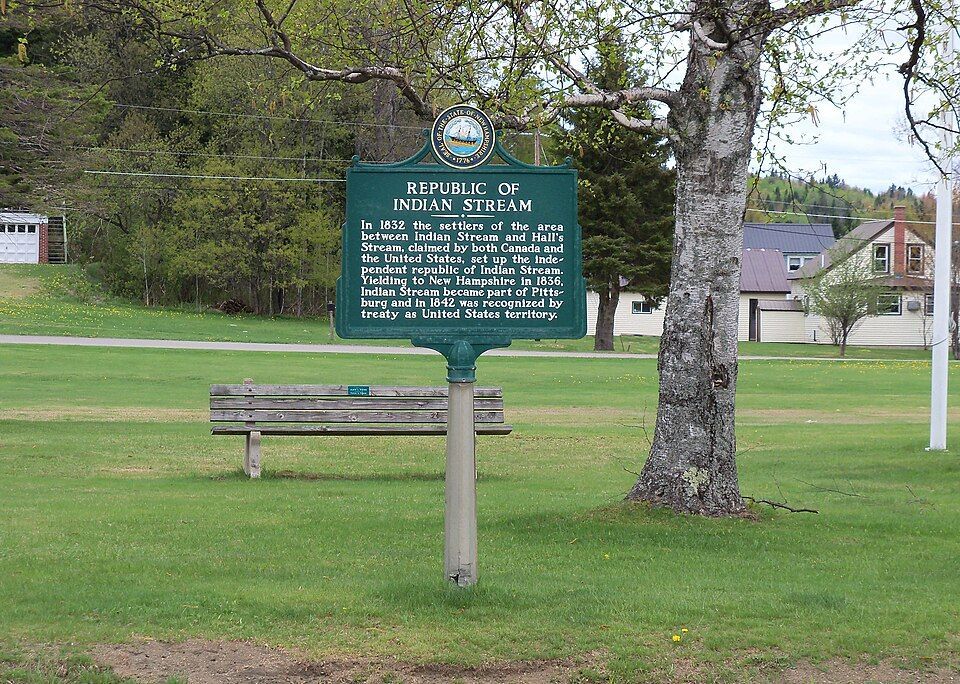
In the early 1830s, people living in a small area between New Hampshire and Quebec were fed up, and in this case, taxes were the problem. Both Canada and the US were trying to collect taxes, and nobody likes being double-billed . In 1832, the residents essentially said "neither of them can tax us" and formed their own country called the Republic of the Indian Stream. They had their own constitution and Capitol for four years, until 1836, when the militia marched on the disputed territory to reclaim the land. It wasn’t until 1842, when the land dispute and the double taxation were definitively resolved by the Webster–Ashburton Treaty, which assigned the land to New Hampshire.

8
The Northwest Angle: Mapping mistake of 1783

Image: Lorie Shaull, CC BY-SA 4.0, via Wikimedia Commons

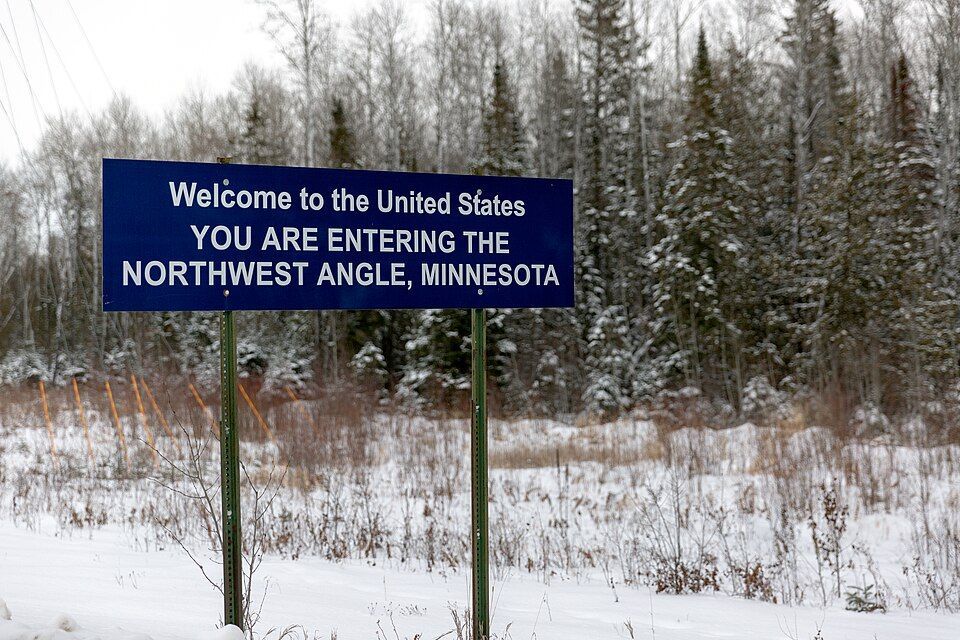
When the Treaty of Paris was signed in 1783 to end the Revolutionary War, the mapmakers used a chart that was flat-out wrong. They thought the Mississippi River started much further north than it actually did. Because of that mistake, a piece of Minnesota got cut off from the rest of the country . To this day, the "Northwest Angle" is the only place in the lower 48 states north of the 49th parallel. Much like Point Roberts, you have to cross a massive lake or drive through Canada just to visit it.

9
The District of Columbia’s "lost" corner

Image: Tim Mossholder

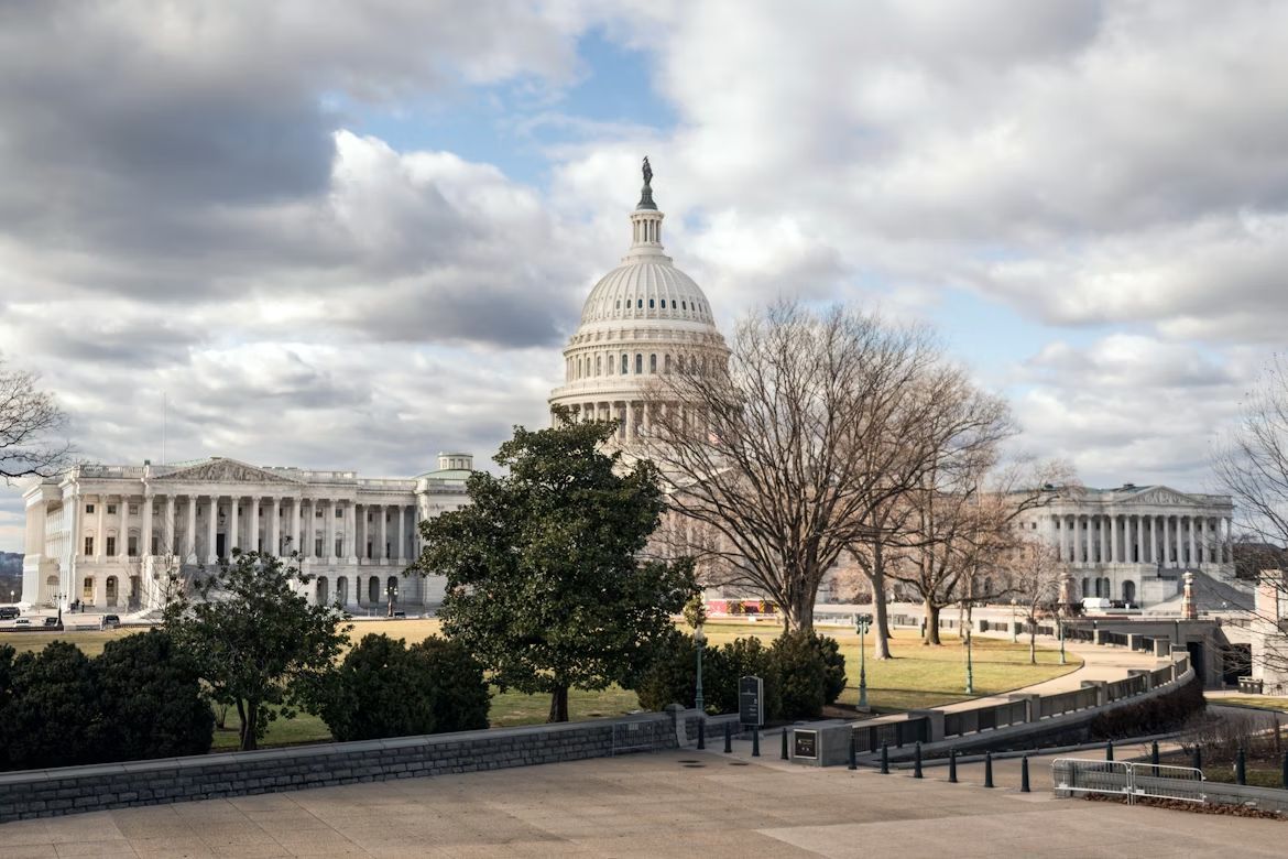
If you look at a map of D.C., you’ll notice it’s missing a chunk; it’s not a perfect square as it was originally intended. Originally, the capital was a perfect ten-mile square diamond , taking land from both Maryland and Virginia. But by 1846, things got tense. Residents in the Virginia portion, which included Alexandria and Arlington, were worried the federal government would abolish slavery in the District, which was the backbone of their economy. They successfully petitioned to have Virginia "take back" that portion of the land and subsequently changed the shape of the national capital forever.

10
UN Headquarters: International territory

Image: LPulecio-WMF, CC BY 4.0, via Wikimedia Commons

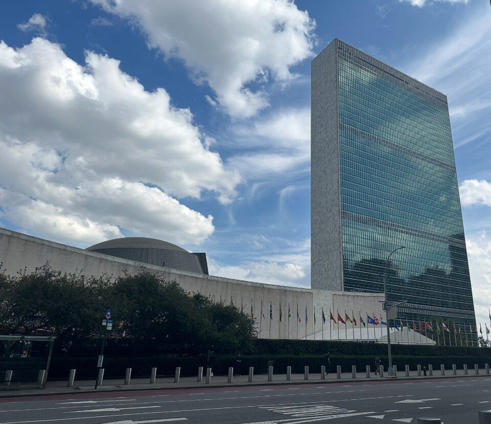
If you want to feel international, go to the United Nations Headquarters on the East River in midtown Manhattan, New York. Once you cross that gate onto the 18-acre site, you are technically leaving the United States. You don’t need to show your passport, but that’s international territory, which means it has its own laws , its own security force, and even its own postal service. It is a legal hole in the middle of New York City.

General General 4 min read

American uniqueness

10 things America does differently from the rest of the world

Image: Shamblen Studios

The U.S. is a unique country in many ways , but some of these might shock tourists and foreigners because they differ from how they are done in other parts of the world. From etiquette rules to cooking styles to how to record a date, America has its own way of doing certain things . Let’s have a look at some of them!

1
Measuring

Image: Annie Spratt

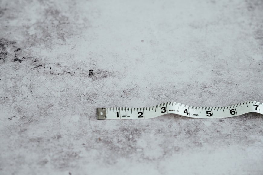
This is a difference most Americans are aware of: most countries use the metric system rather than U.S. customary units, and most use Celsius instead of Fahrenheit. Countries such as the UK and Canada still use some imperial units in everyday life, but they mainly use the metric system. Another measure that confuses foreigners is the particular way ingredients are measured in American recipes, which often use cups, tablespoons, and teaspoons rather than measurements by weight.

Fun fact: The only other countries that use the Imperial system officially are Liberia and Myanmar.

2
Sales tax

Image: Zoshua Colah

Do you find having to calculate sales taxes annoying? That’s a unique American experience. In the majority of the world, the price you see is the price you pay , because it has the sales tax already added.

Why is it different in America? Sales taxes vary across states , so retailers find it easier to showcase the base price and then calculate the total at checkout.

3
Cutlery use

Image: Anna Kumpan

Many Americans abroad are surprised by the realization that not everyone uses a knife and fork in the same way they do . In fact, no one else does. While most Americans have learned the American style —also called the zig-zag or fork switching method— that involves using the fork in the left hand for cutting and then changing it to the right to pick up the food, European and Latin American countries don’t do this . It might seem like a small difference, but it completely changes the way you eat.

4
Iced drinks

Image: Battlecreek Coffee Roasters

Do other countries not have ice? They do, but they don’t necessarily assume everyone will want it. While serving water and other beverages with ice is customary in America, in many other countries, you need to request it —even during the hottest of summers.

But even if you get ice, many times you will need to specify the amount : the same drink that would be filled with ice cubes in America might come to you with just two or three cubes elsewhere.

5
Date formatting

Image: Waldemar

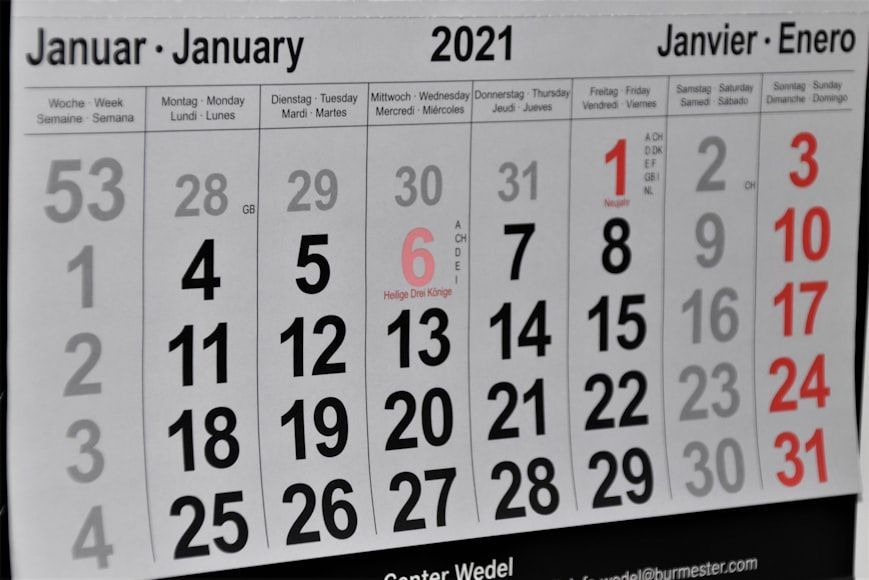
The U.S. is not completely alone on this one, but there’s a difference big enough to be worth mentioning. The standardized way of recording the date in America is month-day-year , a convention also followed by some Caribbean and Asian countries. But in the rest of the Western world, the conventional format is day-month-year , which can lead to confusion for Americans. In most Asian countries , the most commonly used format is year-month-day .

6
The word ‘American’

Image: frank mckenna

In the English language, ‘American’ is the only way to refer to people with U.S. citizenship . Other words, such as ‘Usian’ or ‘Unitedstatian’ have been proposed, but never stuck. This is why many Americans are surprised when other countries —Latin American countries in particular— use ‘American’ for anyone in the American continent , or continents, another big difference. In most European and Latin American countries, there is a different word for U.S. citizens, such as the Spanish ‘estadounidense’ or the Portuguese ‘estadunidense’ .

7
Moving out at 18 years old

Image: Dina Badamshina

This one is not so black and white, but more like a general tendency. Compared with most of Europe, Latin America, and Asia, Americans give serious consideration to the possibility of moving out after high school. Not everyone does, and not everyone can afford it, but it's fairly common.

In other countries, young adults generally move out if their job or education requires it , but they tend to stay at home a few more years if they can.

8
Driving a car as a teenager

Image: Dan Gold

America is quite car-centric , especially if you live outside of the big cities. While not everyone can afford to have a personal car —even a second-hand one—, it is common for 16 and 17-year-olds to legally drive their parents’ car, or save for their own.

In the rest of the world, the chances of high schoolers driving themselves to school are much lower, as most countries don’t allow underage kids to get a driving license .

9
Solo cups

Image: Artem Beliaikin

Do plastic cups exist outside of the U.S.? They do, but they are not as iconic or as widely used as Solo cups, introduced in the 1970s as a disposable but sturdy cup for parties and events. Many foreigners visiting America are surprised when they realize that solo cups are a real thing , and not something that just happens in movies.

10
Filing taxes

Image: Olga DeLawrence

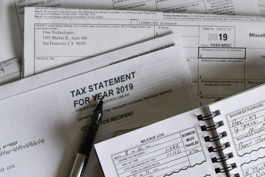
Taxes in the U.S. are not that different from taxes in other countries, except for how they are filed . During tax filing season, thousands of Americans direct their efforts to ensure they have properly reported their income and that their return will match the IRS’s data.

In other parts of the world, however, the one responsible for calculating and filing taxes is the government , while citizens merely corroborate that everything is in order.

Explore more American facts

Choose your favorite category!

General
General

As American as apple pie—the very best America has to offer!

Culture
Culture

Delve into the astounding richness of American lore.

Geography
Geography

Hop in and explore vast and diverse American landscapes.

History
History

Discover the key moments that shaped the United States.