Geography Geography 5 min read

Stories carved by the Colorado River

The missing pieces of the Grand Canyon: 10 incredible facts
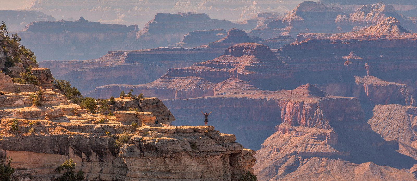
Image: jesus esteban

The Grand Canyon is bigger than Rhode Island. It's deeper than four Empire State Buildings stacked end to end. Its rocks are older than dinosaurs. But those stats alone don’t quite capture its immensity — and are hardly the most shocking. There are nuclear shelters, hidden villages, and billion-year mysteries involved. Read on to learn 10 lesser-known facts about the Grand Canyon.

1
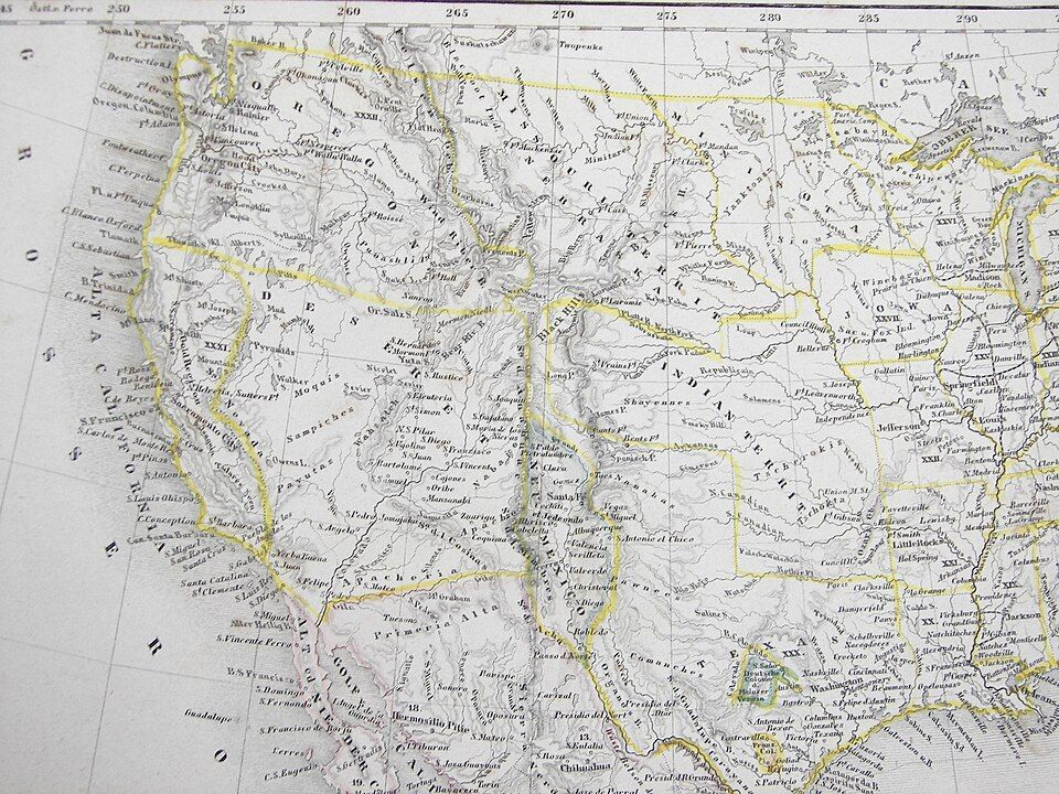
There's an unexplained billion-year gap
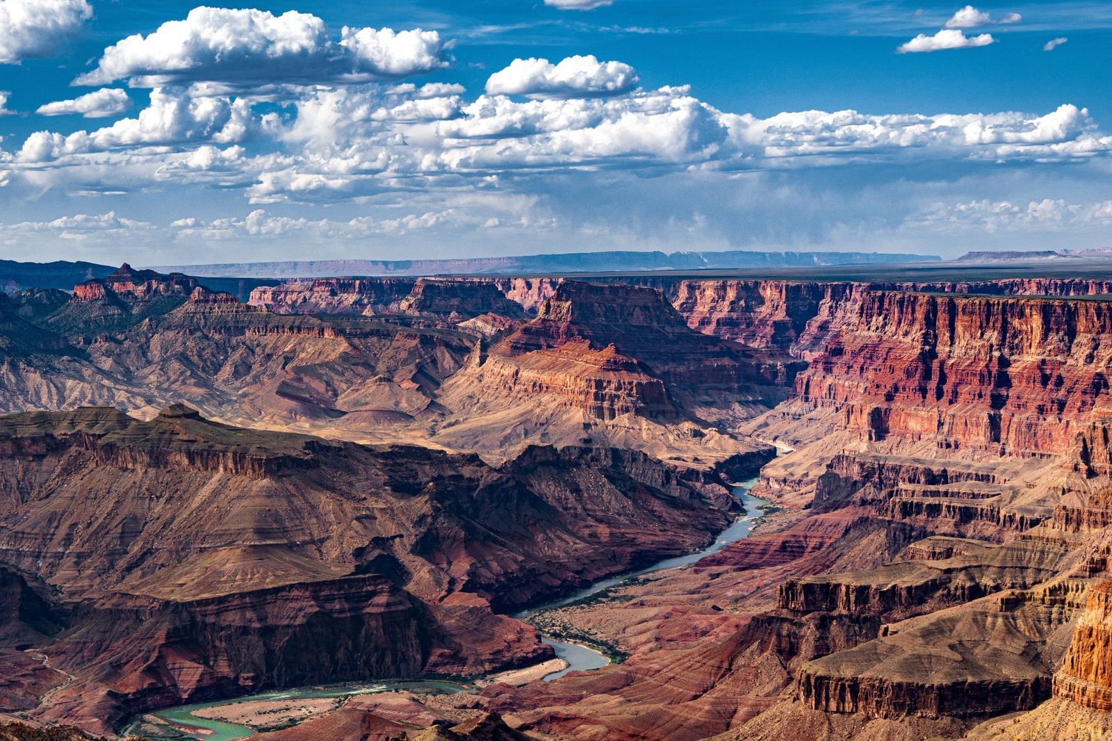
Image: John Graybosch

Look closely at the canyon walls, and you'll notice something strange: a clean, sharp line where ancient rock simply stops, and a much younger layer begins directly above it.

This geological puzzle is called the "Great Unconformity," and it represents over a billion years of rock layers that are simply absent , as though that stretch of time never happened. In some spots, rock dated 1.8 billion years old sits directly beneath rock that is only 520 million years old. Where did the missing billion years go?

The leading theory involves the violent breakup of an ancient supercontinent, but scientists are still piecing it together.

2
During the Cold War, it hid a nuclear fallout shelter
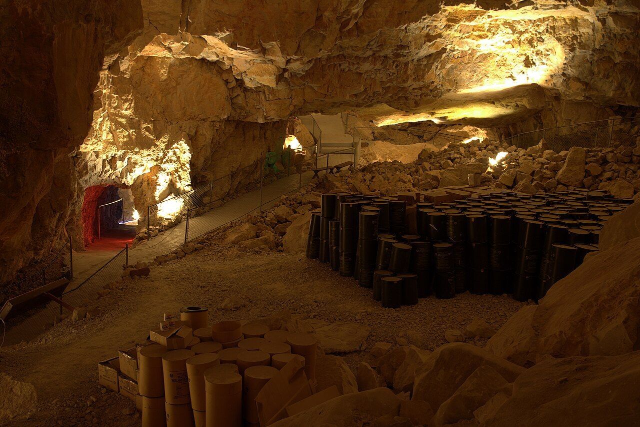
Image: Lauri Väin from Tallinn, Estonia, CC BY 2.0, via Wikimedia Commons

During the Cuban Missile Crisis in 1962, the U.S. government converted part of the Grand Canyon Caverns into a fallout shelter. This dry cave system, more than 200 feet underground, was stocked with enough food and water to sustain 2,000 people. Naturally, it was never occupied, and the supplies were never used.

The caverns have since been transformed into a tourist attraction, with organized tours winding through the same underground chambers that were once intended as a refuge from nuclear war. You can even book a night's stay there.

3
The Federal Aviation Administration was founded after a crash over the canyon
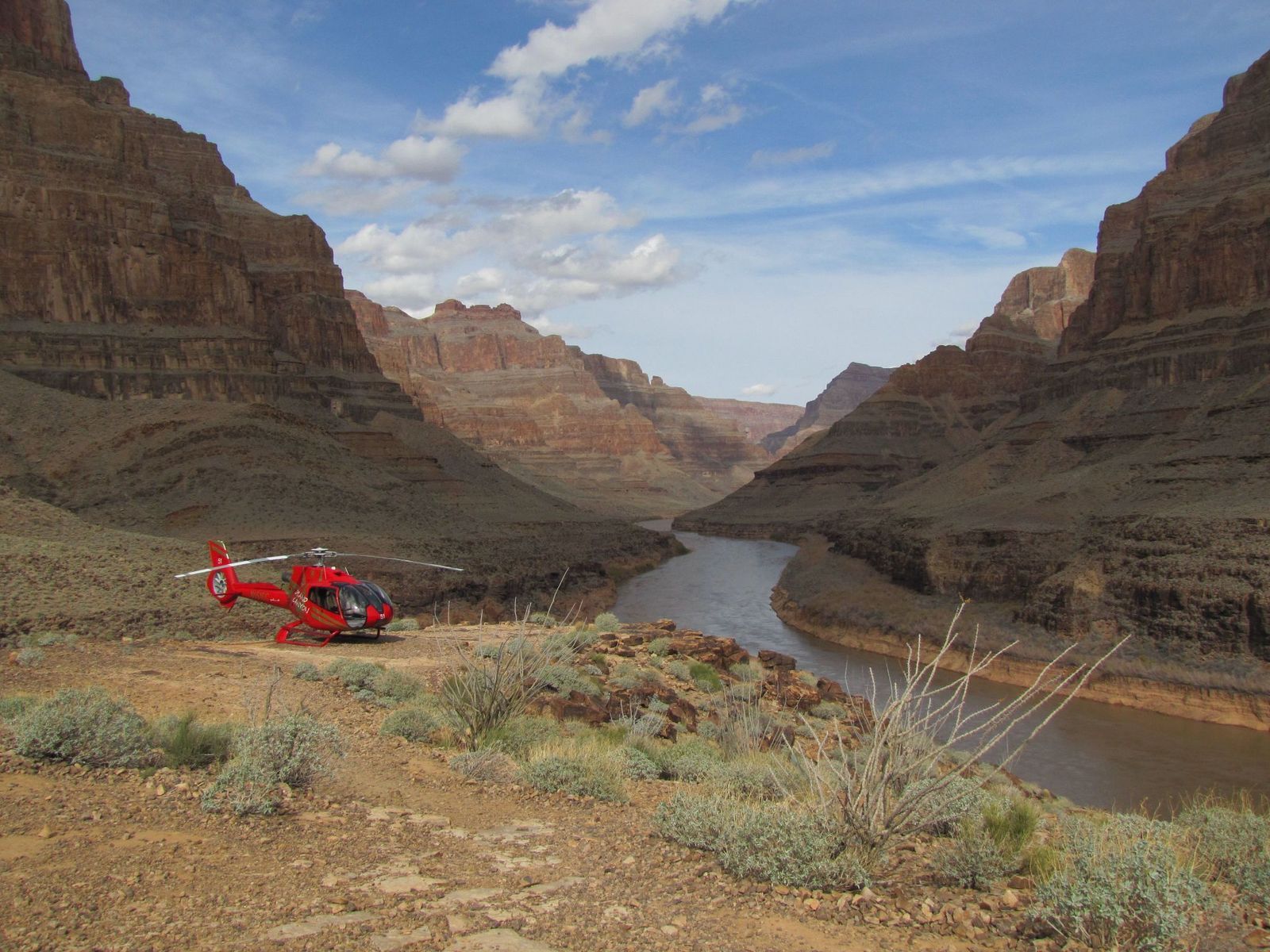
Image: Alexandre Henry Alves

In 1956, two commercial passenger planes collided in midair over the eastern Grand Canyon, killing all 128 people on board both crafts. Rescue teams struggled to reach the wreckage deep inside the canyon, and the extreme heat of the crash had caused the planes' aluminum to fuse with the bedrock. There were no survivors.

The disaster exposed a terrifying truth: the U.S. air traffic control system was dangerously outdated, relying on pilots' visual estimates and rough guesswork from controllers , with no way to separate fast-moving aircraft from slow ones, or instrument-flying planes from those navigating by sight. Congress responded by passing legislation that created both the Federal Aviation Administration (FAA) and the National Transportation Safety Board.

4
A hoax suggested that an Egyptian civilization had lived there
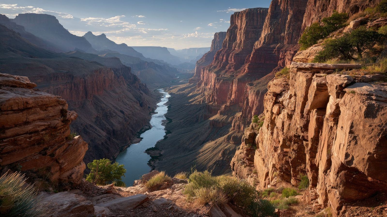
Image: abdurrohman dzar

In 1909, the Arizona Gazette reported that an explorer named G. E. Kinkaid had discovered a vast underground citadel inside the canyon, filled with artifacts linked to ancient Egyptian civilization. He even claimed the expedition had been funded by the Smithsonian.

This story described hieroglyphics on the walls, mummies in the chambers, and relics pointing to a direct connection with the Egypt of the pharaohs. It was incredibly detailed, and it was, of course, a hoax. No evidence for any of Kinkaid's claims ever surfaced.

5
Fewer than 100 people have ever hiked its full length
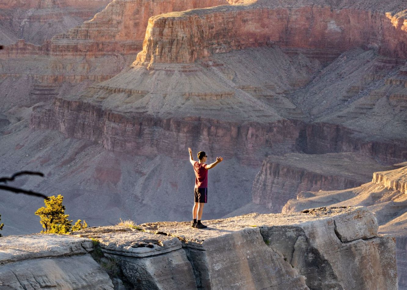
Image: Abhishek Navlakha

Among the few people who have completed the through-hike of the Grand Canyon is Jen Hogan, the first woman to accomplish it, finishing her journey in 2021–2022.

It’s a full 800-mile length below the rim. The route involves extreme heat, flash floods, near-impassable areas, and stretches with no water or trail whatsoever. Around 60 or 70 people have reportedly accomplished it. This makes it one of the most exclusive feats on Earth.

6
The Grand Canyon's rocks predate dinosaurs entirely
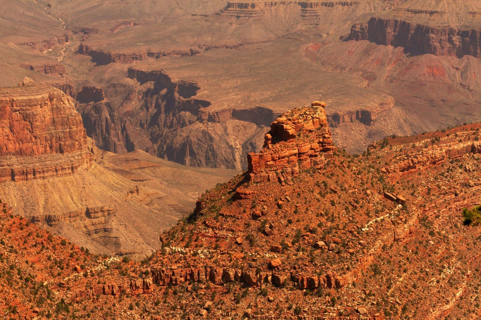
Image: MARIOLA GROBELSKA

Visitors scanning the canyon walls for fossils are often surprised to learn they won't find any dinosaur bones here. The rock layers of the Grand Canyon are simply older than dinosaurs. This fact alone can be shocking: staring at its walls means staring at marine fossils from as far back as 1.2 billion years ago. Some of its caves hold the remains of ancient mammals. The canyon is a window into a world that existed long before the dinosaurs, when the land that is now Arizona lay beneath a shallow sea.

7
The park is bigger than Rhode Island
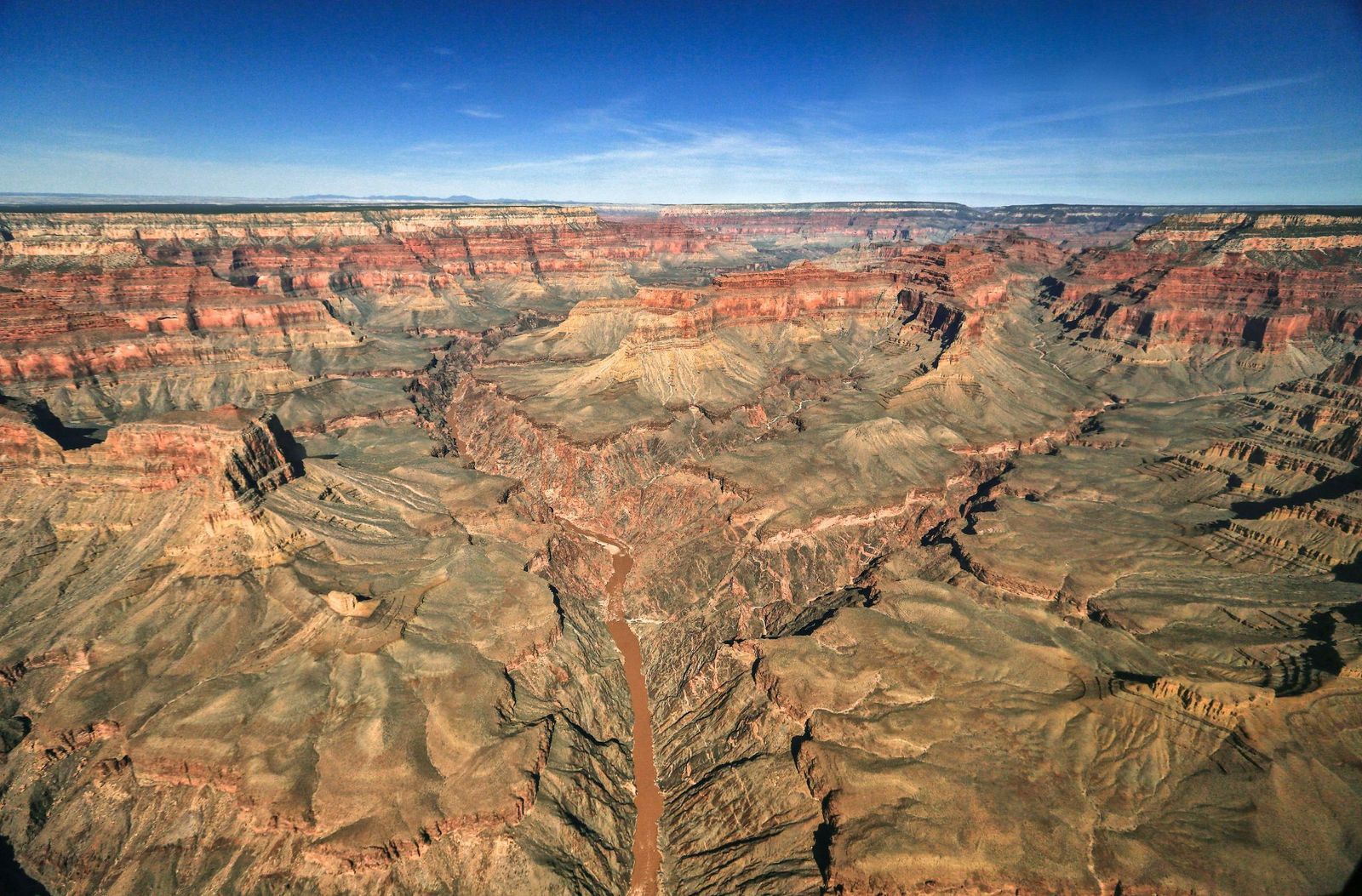
Image: AussieActive

Numbers alone rarely capture the Grand Canyon's scale, so here's a different approach. Rhode Island covers about 1,214 square miles, and the Grand Canyon National Park spans 1,904 square miles.

The canyon's depth exceeds four Empire State Buildings (which is 1,454 feet) stacked on top of one another. That’s 6,093 feet at its deepest point.

8
But it's not the deepest canyon on Earth
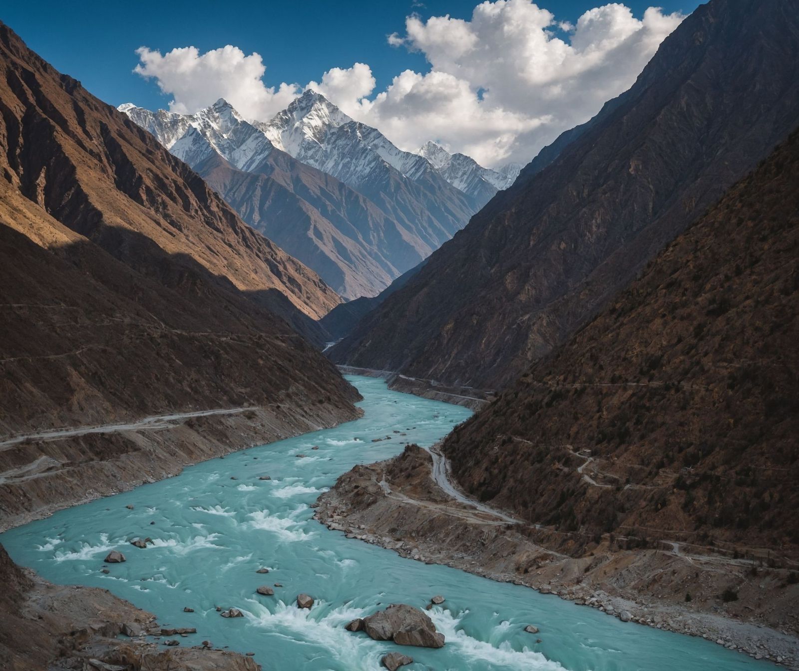
Image: Naeemphotographer2

For all its grandeur, the Grand Canyon does not hold the depth record. Pictured above, the Yarlung Tsangpo Grand Canyon in Tibet, China, plunges to 17,567 feet, which is nearly three times deeper. Carved by the Yarlung Tsangpo River as it cuts through the eastern Himalayas, that canyon is so remote and extreme that it remained largely uncharted until the late 20th century.

9
It is home to a pink rattlesnake found nowhere else on Earth
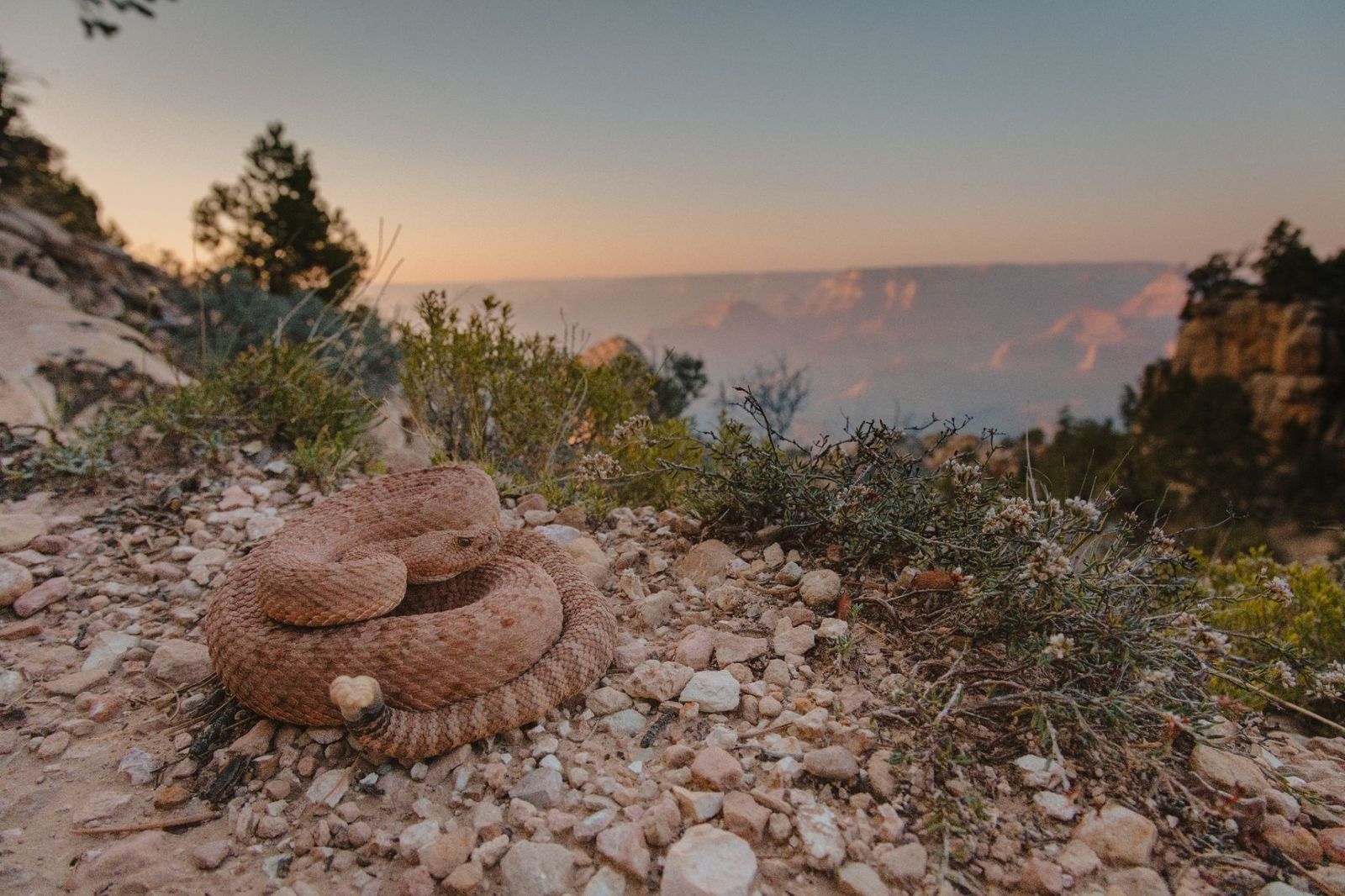
Image: Alexander Wong

The Grand Canyon Pink Rattlesnake has a pinkish-red coloring that matches the canyon's own distinctive rock walls so closely that it's nearly invisible. It is found nowhere else in the world. Officially classified as Crotalus oreganus abyssus , it has darker diamond-shaped markings along its back that deepen the camouflage further.

10
There's a village at the bottom: Supai Village
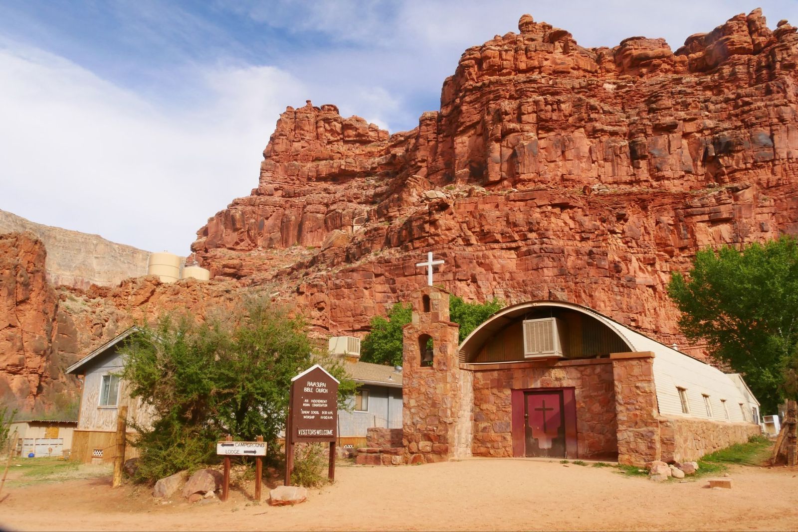
Image: joojoob27

For over 1,000 years, the remote village of Supai has been home to the Havasupai Tribe, the People of the Blue-Green Waters. It is located an eight-mile hike from the rim, but sits roughly 3,000 feet deep inside the Grand Canyon.

The U.S. Department of Agriculture has called it the most remote community in the contiguous United States, and it has no automobiles and no road access. The only ways in are on foot, by mule, or by helicopter. It is also the only place in the United States where the postal service still delivers mail by mule train.
Geography Geography 6 min read

Sub-America

Did you know there are hidden underground cities in the US?

Image: Harrison Haines

Some cities are so top secret they can’t even be found on a map. Subterranean cities have existed throughout human history, and in the United States, we have a few amazing examples. Some are bunkers built during the Cold War to survive nuclear attacks, others were born as ingenious alternatives to escape extreme weather conditions. Whether they are hidden inside a mountain or buried deep underground, here are 12 subterranean places in America that are hidden in plain sight.

1
Raven Rock Mountain Complex

Image: Ilagam

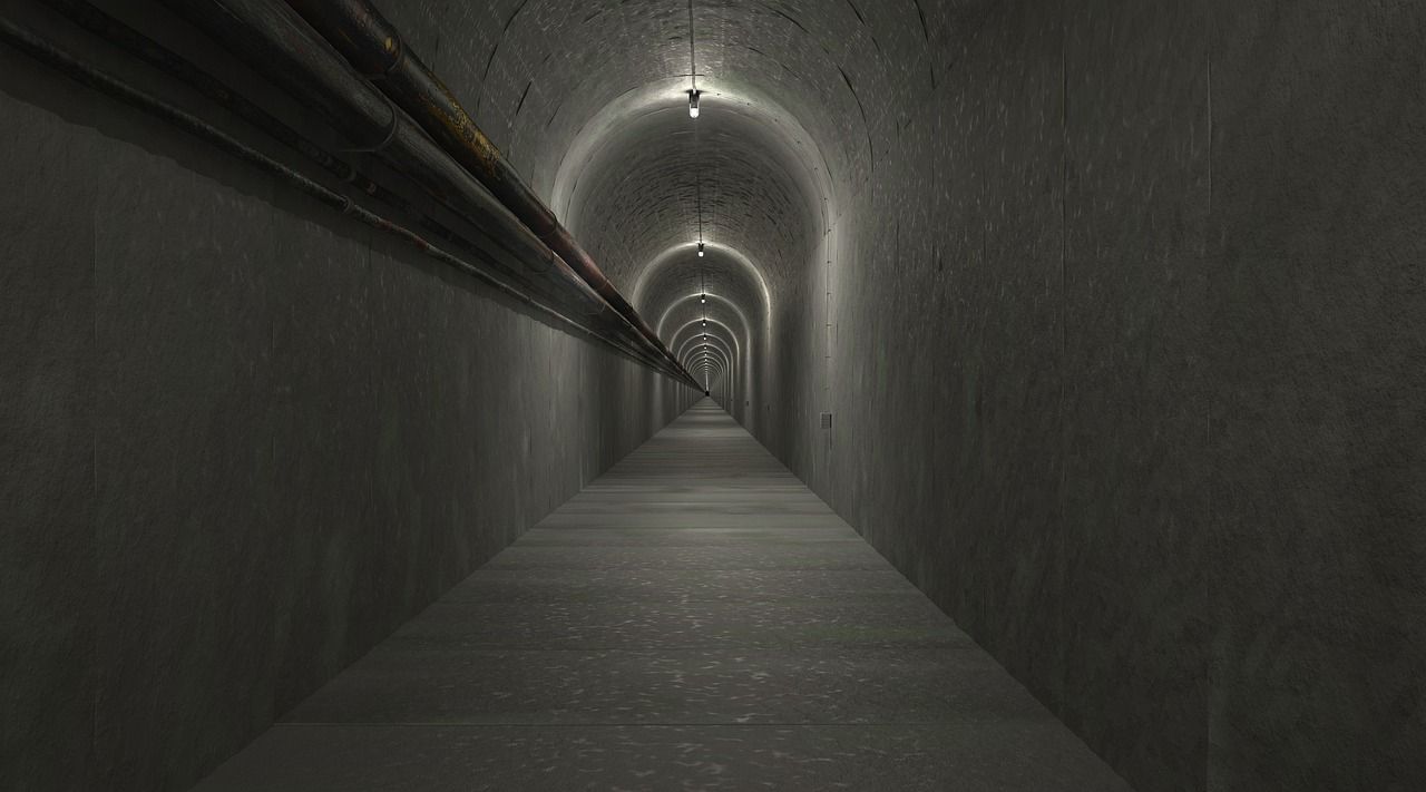
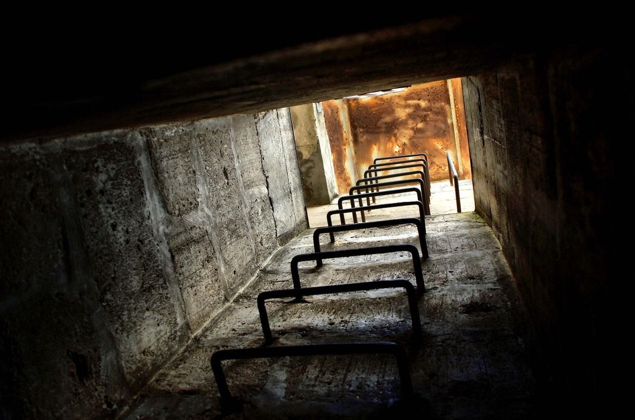
Did you know that in the 1950s, the US government carved out a secret underground city that could survive a nuclear attack? It’s called an "underground Pentagon", and very much like Area 51, it is one of the government's most classified projects.

This military complex and nuclear bunker is located near Blue Ridge Summit, Pennsylvania, 768 feet below the ground. It’s protected by 23.5 ft thick 30-ton doors built on top of springs to survive the shock from a blast. Raven Rock has five buildings with 15 floors big enough to live and work. The base has everything it needs to keep running, like a cafeteria, a barbershop, water generators, and even a medical center.

2
SubTropolis

Image: mwewering

Below Kansas City, Missouri, lies the world's largest underground business complex. SubTropolis is a structure located inside a mine north of the Missouri River. It was carved out of limestone some 135 to 185 feet underground and covers a total of 55 million square feet.

Kansas City Chiefs founder Lamar Hunt built this subterranean city in the 1960s. It has offices, storage space, and even factories. Over 1,600 people work here every day, largely because SubTropolis remains cool all year, making it an ideal location for businesses. Fun fact: some of Hollywood’s most beloved masterpieces are kept here, including the original film reels of Gone with the Wind and The Wizard of Oz.

3
Underground Atlanta

Image: Ronny Sison

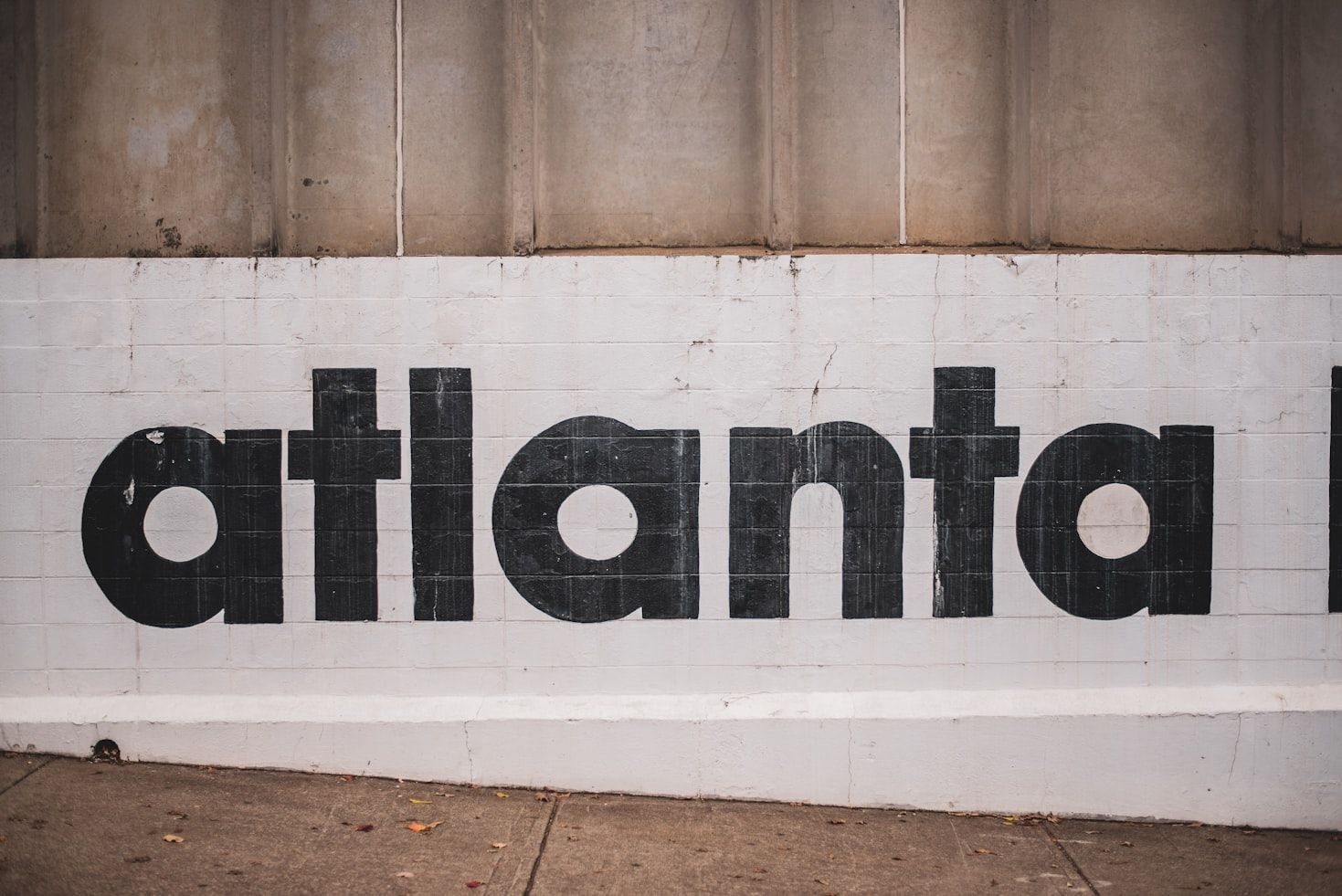
Underground Atlanta is a historic spot in downtown Atlanta, Georgia. It was built in the late 1800s, right after the Civil War, as a commercial district centered around the railroad. In the 1920s, viaducts were built and the streets were raised, creating a second level of streets, buildings, and shops.

During Prohibition, the abandoned underground space served as the best spot for speakeasies and juke joints. For decades, people forgot about the hidden city, but in the 1960s, it was brought back to life as a fun place for music bars and nightlife.

4
New York City Subterranean World

Image: Photographer: unknown, Public domain, via Wikimedia Commons

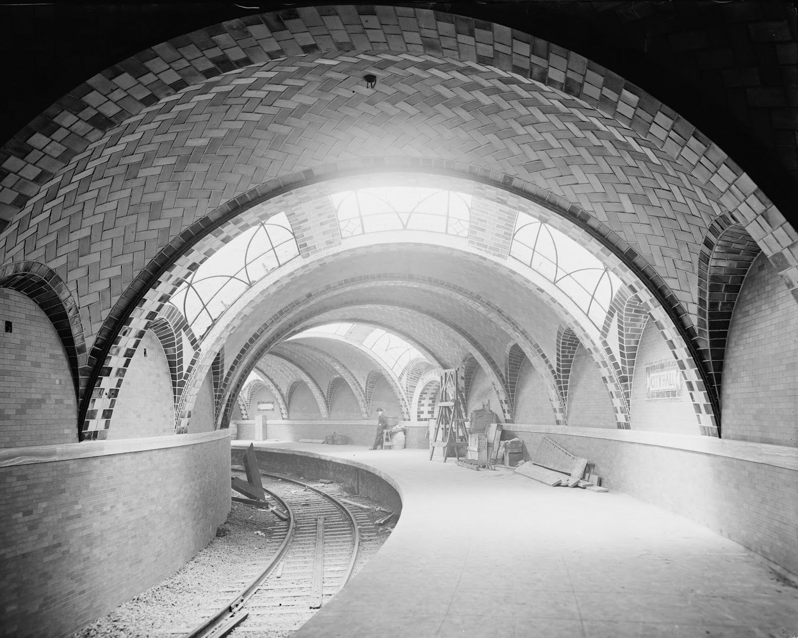
Under America’s most populous city, there's a whole hidden world. For example, beneath Little Italy and the Public Library, there are secret vaults. Beyond the subway millions of people use daily, there is City Hall station, opened in 1904 and closed in 1945. It's a hidden gem with stained glass and mosaics that you can still visit by staying on the 6 train past the last stop.

But that’s not all! There are trading tunnels in SoHo and old cattle tunnels in the Meatpacking District. Also, in 1897, there were mail tubes built around the city to send letters between post offices that operated until the 1950s. Some of these underground spaces go as deep as 800 feet!

5
Permafrost Tunnel Research Facility

Image: Paxson Woelber

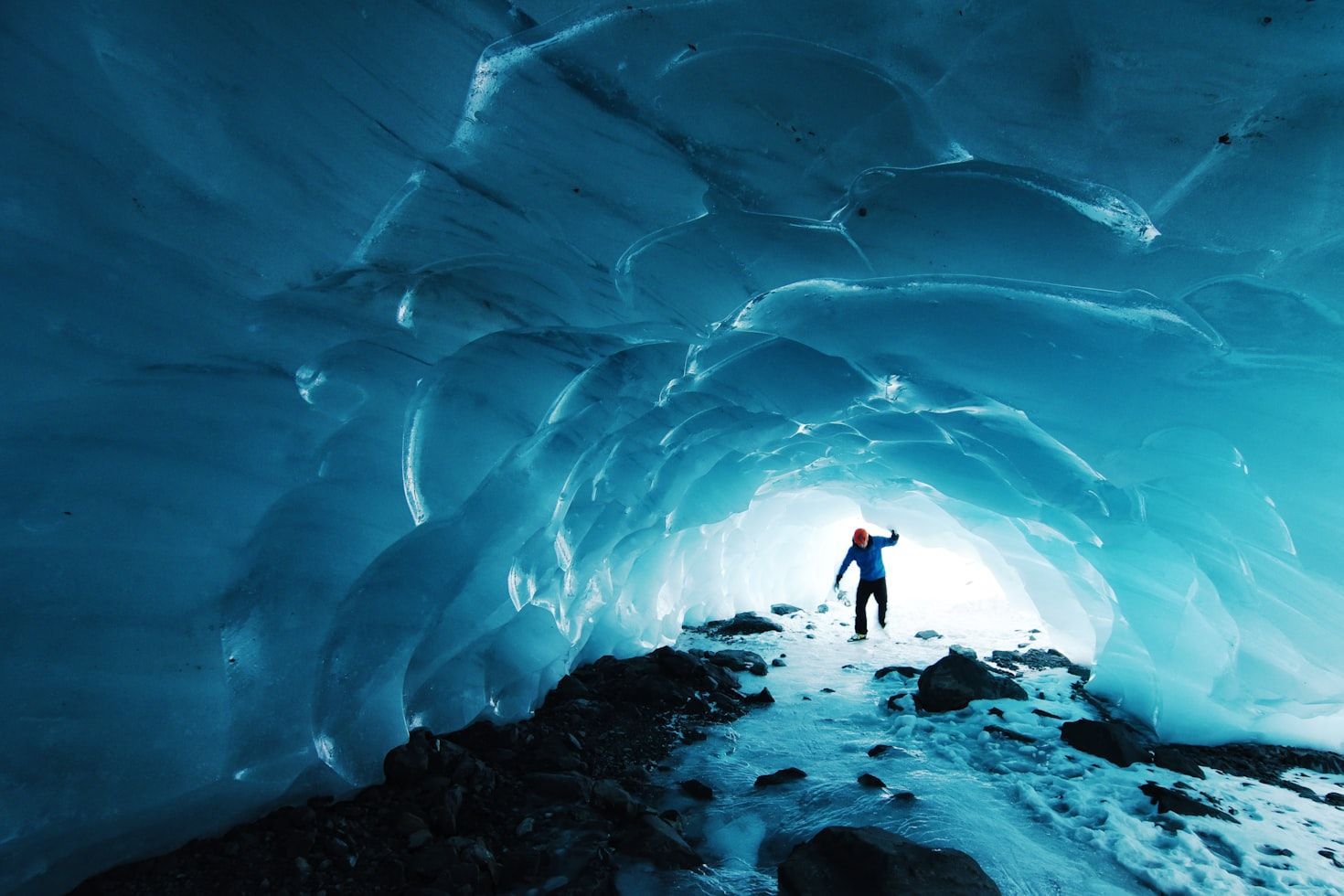
A large part of the land in the northern hemisphere is Permafrost, so it makes sense that there is a research facility specially built to study it. The Permafrost Tunnel in Alaska is the best place to learn about frozen soil that's over 40,000 years old.

The long tunnel was dug from 1963 to 1969 to study how to build and mine in frozen environments. Inside the facility, scientists study ice, ancient plants, and even bones from animals like mammoths. The tunnel shows different layers of earth, uncovering frozen ground from different time periods that help scientists anticipate what might happen as the world gets warmer.

6
The Greenbrier Bunker

Image: Alex Holzreiter

The Greenbrier Bunker in White Sulphur Springs, West Virginia, is a secret underground facility beneath a luxury hotel that has hosted numerous US presidents and famous guests. It was built during the Cold War to protect the US Congress in the event of a nuclear attack. The bunker was designed to house all 535 members of Congress and their staff for a long time.

This classified underground facility remained a secret until 1992, when a Washington Post article exposed it. Today, visitors can take tours to see special rooms, blast doors, and decontamination areas.

7
The Caverns

Image: jymy duhomme

Would you attend a concert underground? If you travel to Tennessee is totally possible! The Caverns, formerly known as Bluegrass Underground, is a very cool spot in Grundy County, Tennessee. Lying deep in a cave 333 feet underground, this concert venue with natural acoustics is the perfect place for live music.

People come from all over to hear a variety of performances, especially Bluegrass music. The Caverns can accommodate up to 1,200 people standing up and are equipped with state-of-the-art sound and lights. The cave's cool and quiet atmosphere makes the experience extra special!

8
Crystal City Underground

Image: Gustavo Alejandro Espinosa Reyes

Beneath the neighborhood of Crystal City, near Washington, DC, lies a network of shops, restaurants, and offices. It opened in 1976 and was designed to feel like an old shopping village with cobblestone streets and antique glass windows.

The underground space covers 150,000 square feet and connects several buildings. It's a popular spot for office workers and visitors, especially when the weather is bad. Unfortunately, in 2024, the shops closed, ending their retail era. Yet, the underground walkways and connections to the Metro remain open for pedestrians.

9
Los Angeles Prohibition Tunnels

Image: Alpha Perspective

In the 1920s, during Prohibition, people had to find ingenious ways around the restrictions on selling and consuming alcohol. That's why they built about 11 miles of underground tunnels right under Los Angeles.

Many of these subterranean sites are now closed, but you can still find a few hidden entrances around the city. You can even go on a tour to explore the tunnels and learn about their secret history.

10
Havre Beneath the Streets

Image: Đào Việt Hoàng

After a big fire in 1904 destroyed Havre’s business district in Montana, many shops moved underground. They used the old steam tunnels to stay safe from fires and bad weather. For years, the tunnels were busy with people and stores, such as saloons, drugstores, laundromats, and even a brothel. But today it is completely silent.

Fortunately, you can still visit what is left of this hidden city to see old shops and learn how people stayed safe and worked over 100 years ago. It's like going back in time!

11
Cheyenne Mountain Complex

Image: See page for author, Public domain, via Wikimedia Commons

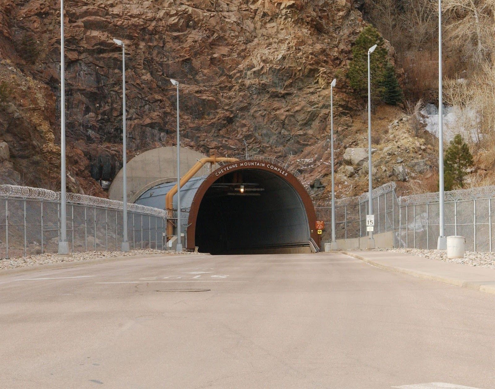
One of the safest places in the world is right here in America, more specifically in El Paso County, Colorado. Hidden inside a mountain, Cheyenne Mountain Complex was built in the 1960s to protect the US military from nuclear attacks.

The bunker stands under 2,000 feet of solid Granite, making it super strong and safe. It was once the command center for NORAD (North American Aerospace Defense Command). The complex has blast doors that weigh 25 tons each and can withstand a nuclear blast. It also has its own power, water, and food supply. People could survive there for months!

12
Forestiere Underground Gardens

Image: Levi Clancy, CC0, via Wikimedia Commons

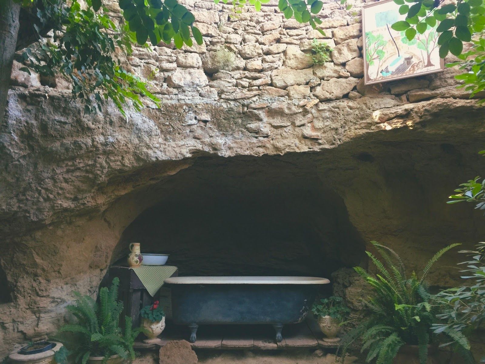
A Sicilian immigrant called Baldassare Forestiere spent 40 years digging and building a series of subterranean structures by hand in Fresno, California. Inspired by Roman catacombs and old wine cellars, he created around 65 rooms, tunnels, and courtyards to escape the hot summer sun.

The Gardens have fruit trees, grapevines, fishponds, and even a chapel. Some of the trees are more than 90 years old! Today, Forestiere Underground Gardens is a Historical Landmark you can visit if you want to discover a true underground paradise.

Geography Geography 6 min read

Territorial anomalies

There's a country within the US that was created to avoid double taxation

Image: Pin Adventure Map

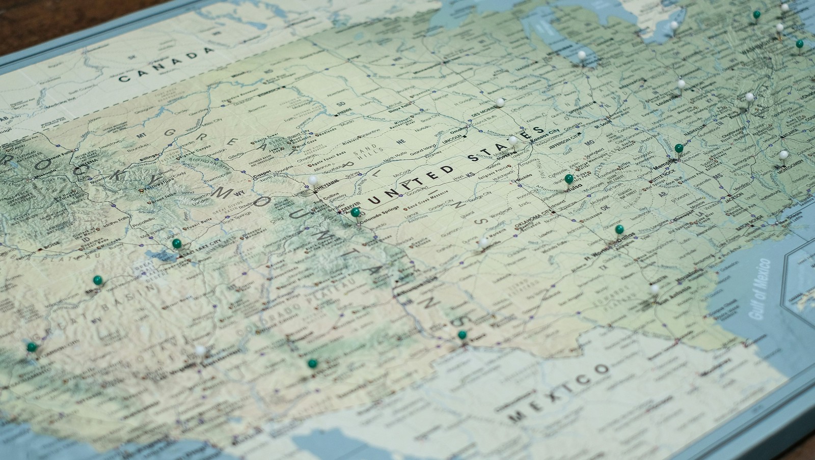
Ever thought about how the borders in our country were defined ? States that almost became official, U.S. points that are only accessible through Canada's borders, territorial feuds over taxes, and more have constructed the limits of the country we know today. Here are 10 territorial quirks you probably never knew of.

1
Point Roberts, WA: The 49th parallel accident

Image: United States Geological Survey, Public domain, via Wikimedia Commons

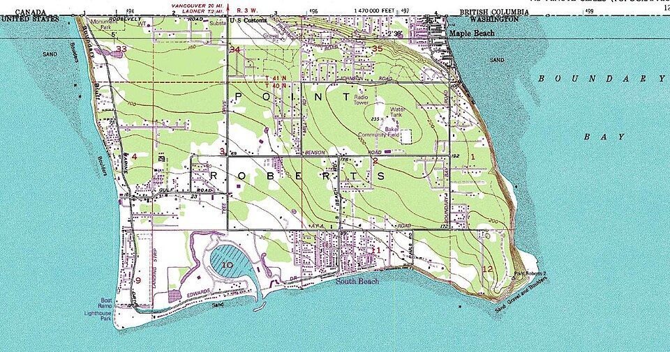
Imagine if you had to cross two borders just to get to the market for a gallon of milk. That’s actually a reality for residents of Point Roberts, Washington. That’s because, following the Anglo-American Convention of 1818, the 49th parallel divided Canada and the U.S. In 1846, the line was extended westward and then officially recognized by the International Boundary Commission in 1925.

However, a tiny tip of the Tsawwassen Peninsula poked out just below that line. Since then, the locals have lived in a boundary quirk. To get to the rest of Washington State by land, they must drive through Canada, show their passports, and do it all over again on the way back.

2
Statue of Liberty: Common misconception

Image: Mohamed Osama

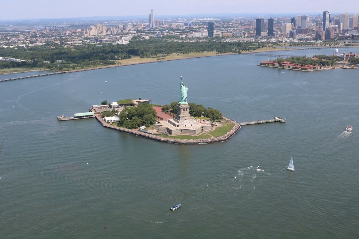
If you want to start a friendly argument at a dinner party, ask whether the Statue of Liberty lives in New York or New Jersey. The funny thing is, both answers are technically right . While the statue physically sits in the waters of the Garden State, Liberty Island is legally an exclave of New York. This dates back to a 1664 land grant by the Duke of York in a document so vague and confusing that it took a 1834 Compact between the two states to settle the deal. New Jersey gets the water and the submerged lands, but New York keeps the monument.

However, the Federal Government actually manages the site through the National Park Service (NPS), providing security and maintenance.

3
The State of Franklin: Failed 14th state

Image: Bennett1203, CC BY-SA 4.0, via Wikimedia Commons

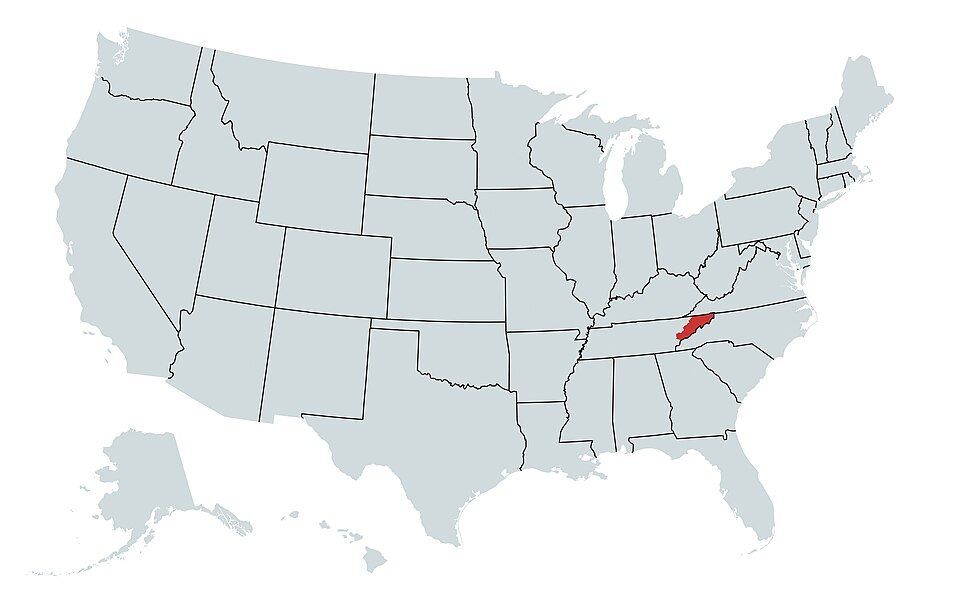
In 1784, three counties in North Carolina felt neglected by their government and decided to strike out on their own . They even elected a governor, John Sevier, and printed their own money. They came just two votes short of being recognized by Congress as a formal state.

Eventually, things got heated, and North Carolina sent troops, leading to a small civil war between the locals. By 1789, the dream of Franklin was buried, and the territory became part of Tennessee.

4
Kentucky Bend

Image: Brian Stansberry, CC BY 4.0, via Wikimedia Commons

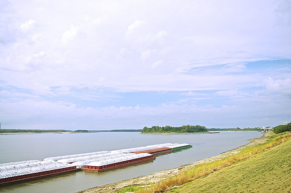
If you look closely at a map, there’s a piece of Kentucky that looks like it doesn’t belong. That’s the Kentucky Bend, also called the New Madrid Bend, a tiny peninsula in Fulton County that is almost completely separated from the rest of the Bluegrass State . The strange situation was the consequence of the massive series of earthquakes that took place in that area between 1811 and 1812, which were so violent they famously caused the Mississippi River to flow backwards for several hours. When the dust settled, the river had carved a new path that looped around this small patch of land, surrounded by Missouri and Tennessee instead of Kentucky. The 9 residents living there today go through Tennessee just to get to their home state.

5
The State of Deseret: The empire that almost was

Image: Carl Radefeld (cartographer); Joseph Meyer (publisher), Public domain, via Wikimedia Commons

Imagine a state so big it makes Texas look tiny. That almost happened back in 1894, when Mormon pioneers proposed the State of Deseret. The territory comprised what we now know as Utah, most of Nevada, parts of Arizona and Colorado, and a massive chunk of the California coast, including San Diego.

Had it been formalized, it would have been a powerhouse with its own seaport and total control over the West. However, Washington, D.C. wasn’t so keen on one group having that much territory and power, so they whittled it down, and we ended up having the states we know today.

6
The lawless "No Man's Land"

Image: Steve Shook from Moscow, Idaho, USA, CC BY 2.0, via Wikimedia Commons

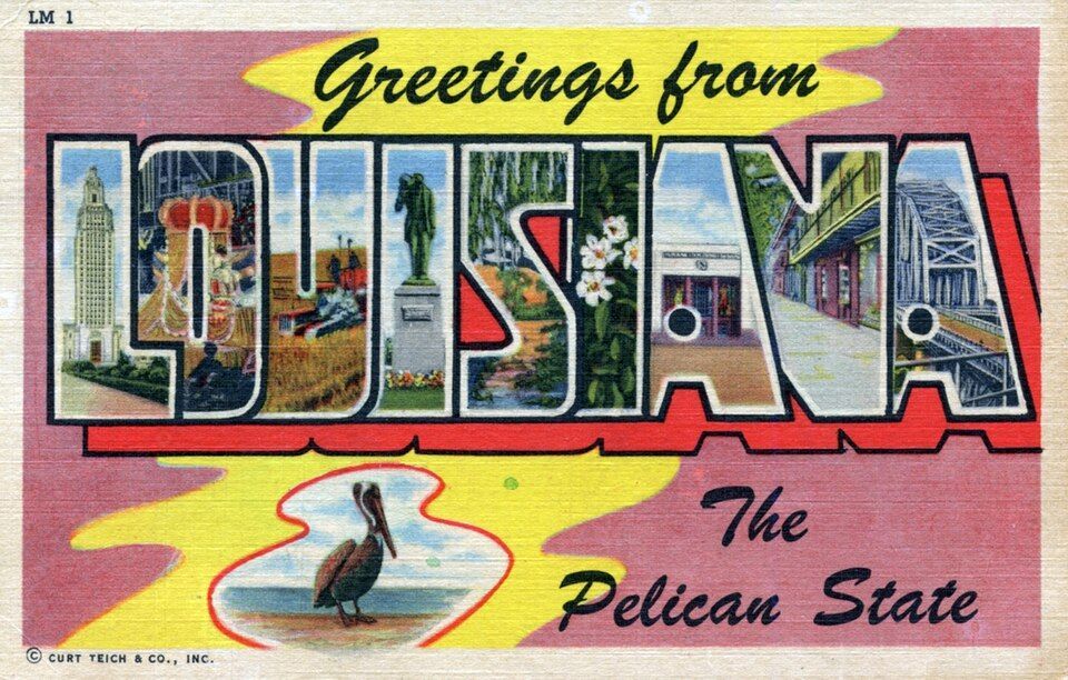
Have you ever wondered what happens when two governments simply give up on a piece of land? Between 1806 and 1821, there was a strip of land in what is now western Louisiana that was, literally, No Man’s Land. Neither the U.S. nor Spain, which owned part of the territory, could agree on the border, so they declared it "Neutral Ground" to avoid armed conflicts . The plan backfired as, with no laws to contain it, it quickly became a favorite for the outlaws in the West —meaning deserters and bandits hiding there were legally untouchable. The conflict was resolved by the 1819 Adams-Onis Treaty, which officially set the Sabine River as the legal boundary.

7
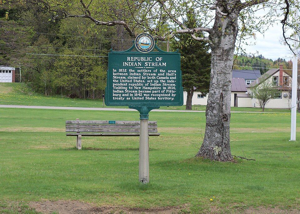
The Republic of the Indian Stream

Image: Jon Platek, CC BY-SA 3.0, via Wikimedia Commons

In the early 1830s, people living in a small area between New Hampshire and Quebec were fed up, and in this case, taxes were the problem. Both Canada and the US were trying to collect taxes, and nobody likes being double-billed . In 1832, the residents essentially said "neither of them can tax us" and formed their own country called the Republic of the Indian Stream. They had their own constitution and Capitol for four years, until 1836, when the militia marched on the disputed territory to reclaim the land. It wasn’t until 1842, when the land dispute and the double taxation were definitively resolved by the Webster–Ashburton Treaty, which assigned the land to New Hampshire.

8
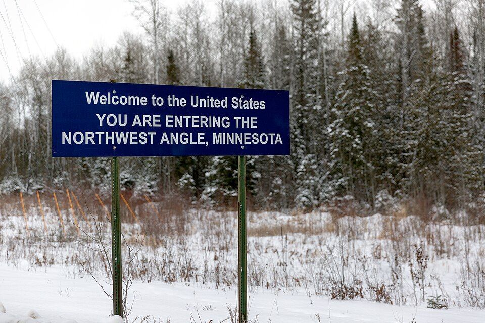
The Northwest Angle: Mapping mistake of 1783

Image: Lorie Shaull, CC BY-SA 4.0, via Wikimedia Commons

When the Treaty of Paris was signed in 1783 to end the Revolutionary War, the mapmakers used a chart that was flat-out wrong. They thought the Mississippi River started much further north than it actually did. Because of that mistake, a piece of Minnesota got cut off from the rest of the country . To this day, the "Northwest Angle" is the only place in the lower 48 states north of the 49th parallel. Much like Point Roberts, you have to cross a massive lake or drive through Canada just to visit it.

9
The District of Columbia’s "lost" corner

Image: Tim Mossholder

If you look at a map of D.C., you’ll notice it’s missing a chunk; it’s not a perfect square as it was originally intended. Originally, the capital was a perfect ten-mile square diamond , taking land from both Maryland and Virginia. But by 1846, things got tense. Residents in the Virginia portion, which included Alexandria and Arlington, were worried the federal government would abolish slavery in the District, which was the backbone of their economy. They successfully petitioned to have Virginia "take back" that portion of the land and subsequently changed the shape of the national capital forever.

10
UN Headquarters: International territory

Image: LPulecio-WMF, CC BY 4.0, via Wikimedia Commons

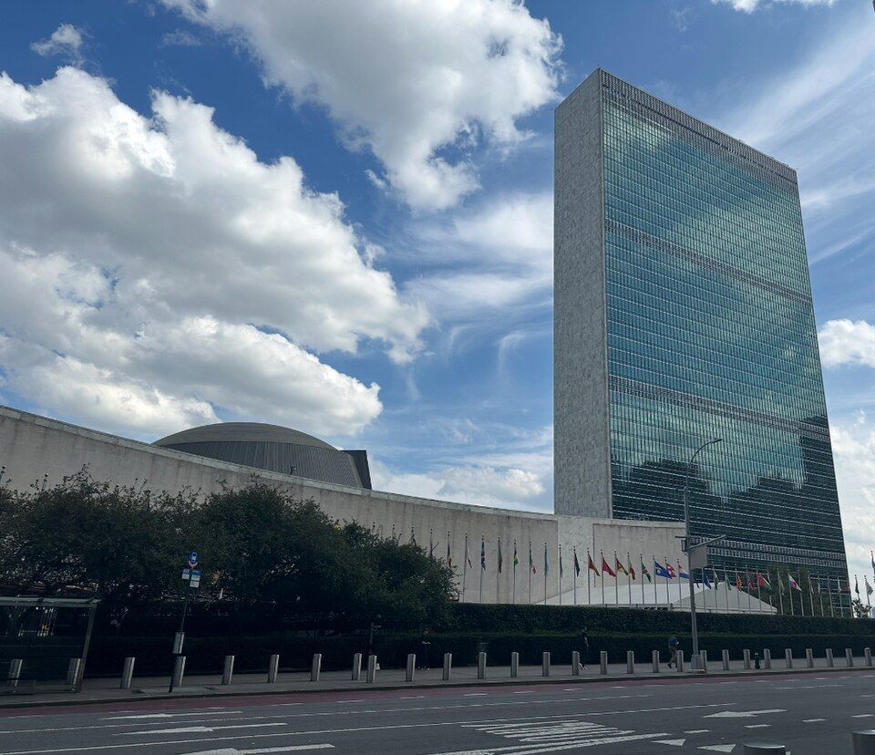
If you want to feel international, go to the United Nations Headquarters on the East River in midtown Manhattan, New York. Once you cross that gate onto the 18-acre site, you are technically leaving the United States. You don’t need to show your passport, but that’s international territory, which means it has its own laws , its own security force, and even its own postal service. It is a legal hole in the middle of New York City.

Explore more American facts

Choose your favorite category!

General
General

As American as apple pie—the very best America has to offer!

Culture
Culture

Delve into the astounding richness of American lore.

Geography
Geography

Hop in and explore vast and diverse American landscapes.

History
History

Discover the key moments that shaped the United States.