Geography Geography 5 min read

Long-held misconceptions

Maine isn't where we thought it was, and 9 other truths about states
Image: Megan Clark

How can Canada be south of the United States? Is the Statue of Liberty really in New York? It turns out many of the "facts" Americans grew up learning in school aren’t completely true. From states that aren’t where you think they are to maps that wildly distort size and distance, these 10 geography myths will make you see the United States in a totally different way.

1
Where is the Statue of Liberty really located?
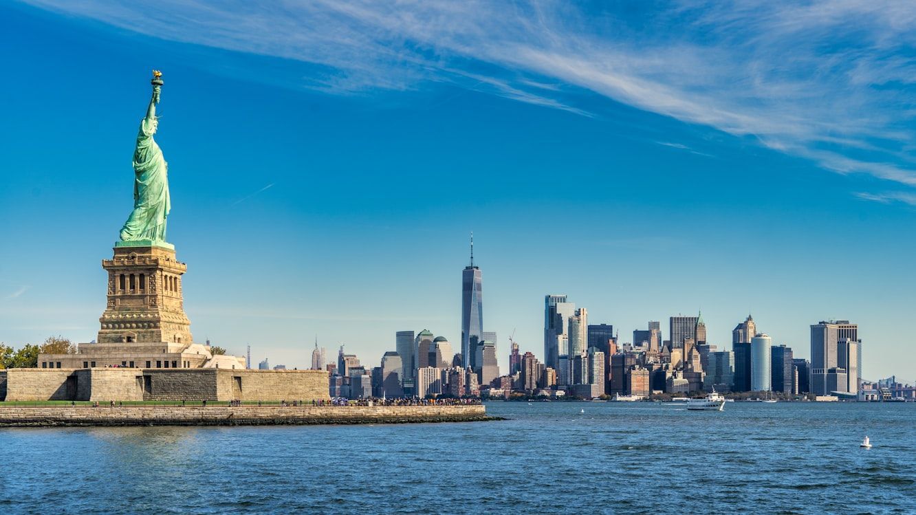
Image: Pierre Blaché

Most of us have always associated the Statue of Liberty with New York City. It’s on postcards, movies, souvenirs, and more. But technically, the famous statue stands in New Jersey’s waters.

The statue itself sits on Liberty Island, which legally belongs to New York, even though it’s actually closer to Jersey City than to Manhattan. Under an 1834 agreement between the two states, New York kept ownership of Liberty and Ellis Islands, while New Jersey retained control of the surrounding waters. So while the Statue of Liberty is officially New York property, it’s technically sitting on New Jersey’s side, something that still surprises many Americans today.

2
Canada is not always north
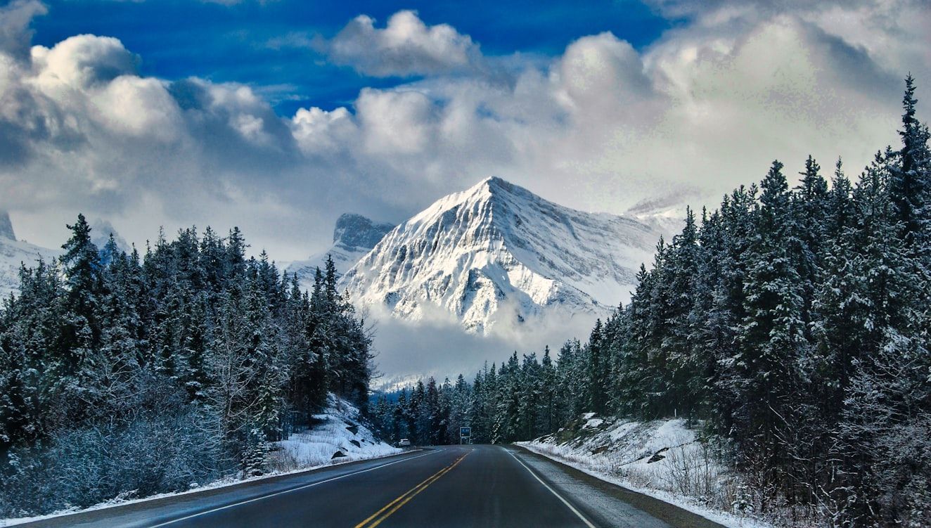
Image: Floris Siegers

Because of the way maps have always looked to us, most Americans grow up thinking you always have to travel north to reach Canada; we even call it "our neighbor to the north." For almost everyone, that’s true… except the people in Detroit, Michigan.

Thanks to the curve of the Detroit River and the city’s unusual location, the Canadian city of Windsor actually sits south of Detroit. That means when drivers cross the bridge from Detroit into Canada, their compass literally points south, even though they’re entering "The Great White North."

3
Daylight Saving Time isn't for everyone

Image: stefan moertl

Most Americans are used to Daylight Saving Time: clocks move forward one hour on the second Sunday in March and back again on the first Sunday in November. But two "rebel" states refuse to follow the rest of the country.

We’re talking about Hawaii and Arizona, which stay on Standard Time year-round. Hawaii skips Daylight Saving Time because its tropical location means daylight hours barely change between summer and winter. Arizona, meanwhile (except for the Navajo Nation), stopped observing it in 1968 because of the state’s extreme desert heat. During a 1967 trial run, they found that an extra hour of evening sunlight actually increased energy use, so Arizona decided it simply wasn’t worth it.

4
Maps distort Alaska
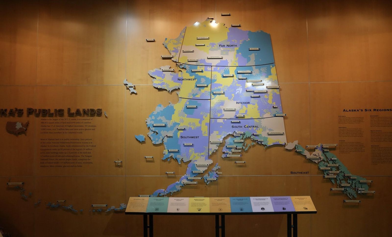
Image: Richard N Horne, CC BY-SA 4.0, via Wikimedia Commons

For generations, the maps hanging in American classrooms have tricked us about the true size of Alaska.

On many US maps, Alaska is squeezed into a small box in the corner, making it seem only slightly bigger than states like Texas or California. But the reality is shocking: Alaska covers about 663,300 square miles, making it so enormous that you could fit Texas, California, and Montana combined inside it. The distortion happens because flat maps shrink and compress distant areas to make them fit neatly on the page. In real life, though, "The Last Frontier" is far more vast than we think.

5
Maine is not located where we thought
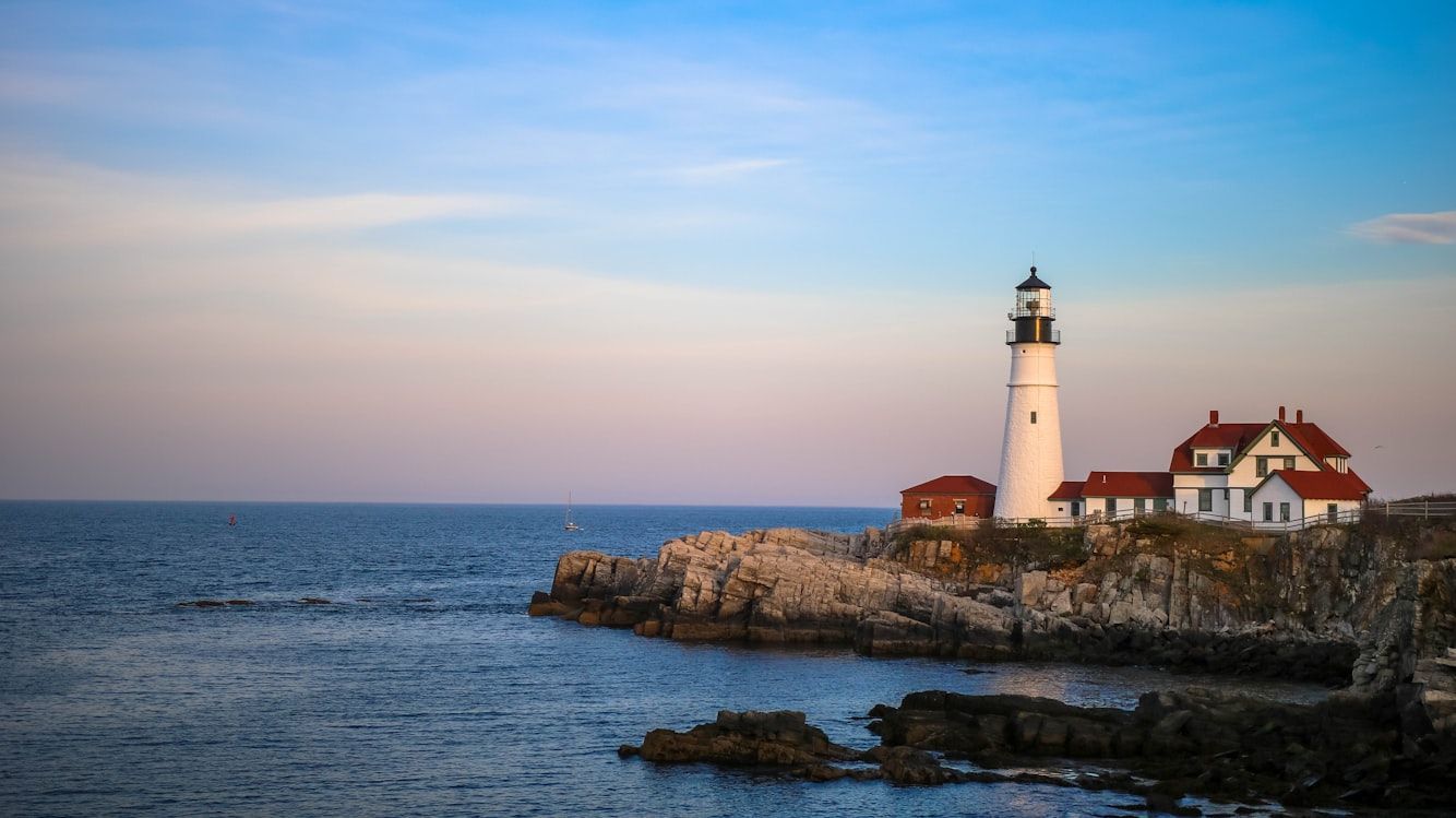
Image: Mercedes Mehling

If someone asked, "Which is the easternmost US state?" most Americans would probably answer Maine without even thinking twice. But surprisingly, that’s not actually correct.

While it’s true that Maine is the easternmost state in the contiguous US, when all 50 states are included, the answer surprises many: the easternmost state is actually Alaska. How is that possible? It turns out that Alaska’s Aleutian Islands stretch so far west that they cross the 180th meridian into the Eastern Hemisphere, meaning part of Alaska is technically farther east than Maine.

6
Is California always west of Nevada?
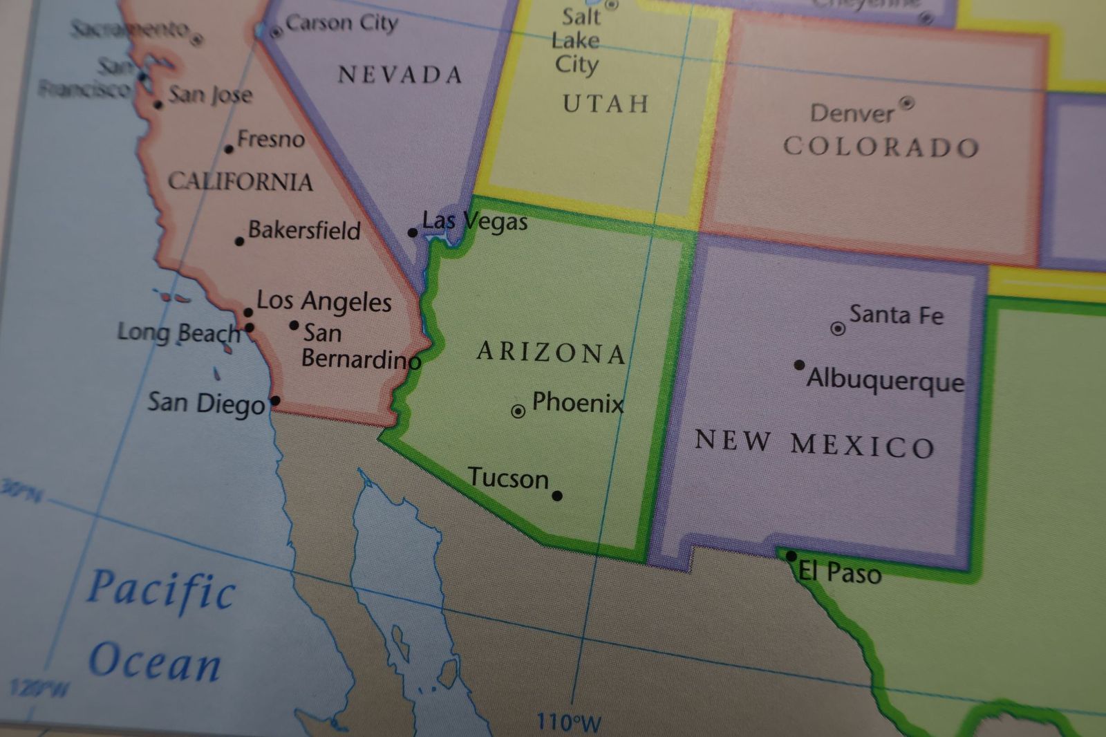
Image: shutterstock

If you were standing in California and needed to travel to Nevada, you’d probably assume you’d have to head east. But geography has a surprise here, too.

Believe it or not, Reno is actually about 86 miles farther west than Los Angeles. But how could a city in Nevada be farther west than a city on the Pacific coast? The answer is in California’s curved coastline. Because the coast bends inward so dramatically, Los Angeles sits farther east than most people realize, while Reno stretches surprisingly far west.

7
Not all deserts are hot
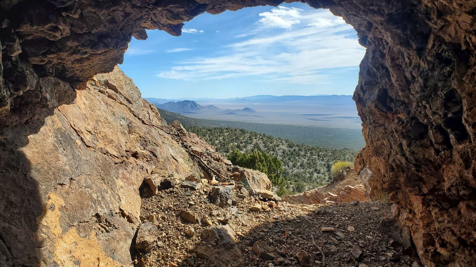
Image: shutterstock

When most Americans picture a desert, they imagine blazing sun and unbearable heat, but not all deserts in the US fit that image.

The huge Great Basin Desert, which stretches across much of Nevada and parts of Utah, California, Oregon, Idaho, and Wyoming, is classified as a cold desert. In fact, during winter, its temperatures can plunge below freezing, with heavy snowfall covering the landscape. The lowest official temperature ever recorded in the area was on January 8, 1937: an incredible -50 °F.

8
Almost all of the US is privately owned
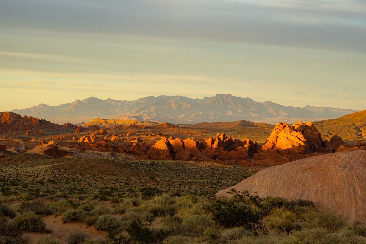
Image: Yina Li

Many of us grew up assuming that most land in the United States is privately owned. And in much of the East, that idea is accurate. But for the West, the reality is different.

In the Western United States, about 47% of the land is owned by the federal government . And when you add state-owned land, the share of public land becomes even larger. Some states are especially striking: in Nevada, about 87% of the land is public, while in Utah, it’s around 75% .

9
The most populous state
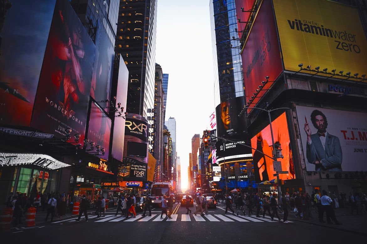
Image: Luca Bravo

The incredible New York City is the most populous in the United States, with about 8.48 million residents, and there’s no doubt about that. Maybe that’s why many people naturally assume the state of New York is also the most populated, but it isn’t.

That distinction actually belongs to the state of California, with around 39.35 million residents , compared to roughly 20 million in New York state.

10
Which state is closest to Africa?
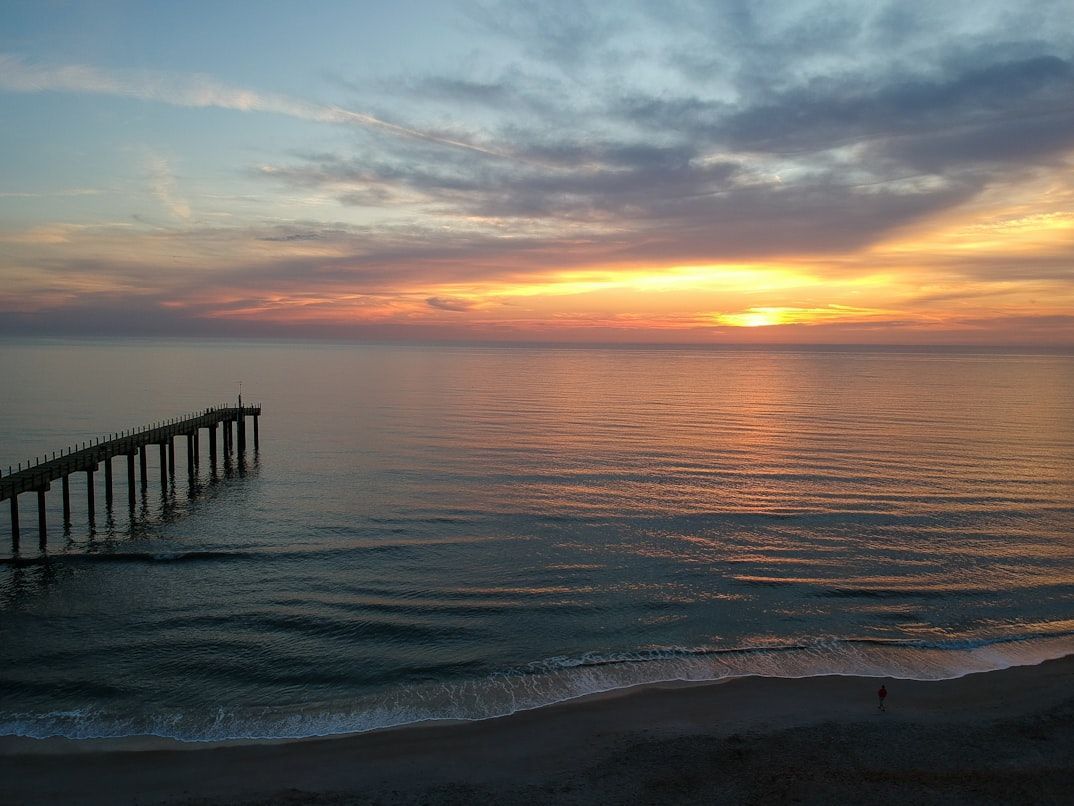
Image: Kristin Wilson

As we’ve seen, flat maps can distort how we think about distance and size. Because of that, many Americans assume Florida is the US state closest to Africa. But that’s actually not true.

Because of the Earth’s curvature, the US state closest to Africa is actually Maine. The northeastern tip at Quoddy Head is about 3,154 miles from El Beddouza, Morocco. By comparison, Florida’s eastern edge (around Singer Island) is roughly 4,085 miles from the African coast near Guerguerat, Western Sahara.

General General 4 min read

What were you thinking?

Appalling misconceptions: Facts about the US that many people get wrong

Image: Mick Haupt

Some people believe that the Liberty Bell cracked upon its first toll. That would speak of a very poorly built bell, don’t you think? Others believe that the Declaration of Independence was signed by all 56 delegates on the same day. Another common misconception! And can you believe that some people thought the faces on Mount Rushmore were random profiles carved naturally by some wind? Let’s look into myths about the US, ranging from understandable to appalling, and see if you fell for any of these!

1
There are 52 states in the U.S.

Image: Chris Lawton

Remember that Friends episode where the characters were racing to write down as many state names as they could? When they asked Joey how many he’d gotten, he leaned back and proudly announced: "Fifty-six."

While not many Americans would share Joey’s confusion, believe it or not, some people are lost about the exact number . Many, when asked, reply that the country contains 52 states! Nope, it’s still just 50. People often mistakenly include Puerto Rico and Washington, D.C. as states.

2
The Declaration of Independence was signed by everyone on July 4th, 1776

Image: Ryan Wallace

You’ve seen the paintings—quills raised, scroll unfurled, patriotic ambiance in full bloom. You probably pictured the famous document (scribbled on dramatically aged paper) being passed around the table and filled with names.

But reality was less cinematic . While July 4, 1776, is when the Declaration was adopted, only a few signatures made it on the page that day. Most of the 56 signers added their names over the course of weeks, and some not until August... or even later!

3
The Founding Fathers were all old men with powdered wigs

Image: The New York Public Library

You’d think the Founding Fathers were all 60-something aristocrats in wigs , sitting by candlelight. But many were in their twenties and thirties—Alexander Hamilton was just 21, and James Madison 25. Wigs weren’t as common as Hollywood would have you believe. Most preferred their natural hair, styled with a bit of 18th-century flair.

4
The U.S. Constitution was signed on July 4th, 1776

Image: Tara Winstead

It’s easy to jumble up America’s important dates , but this one’s a whopper. July 4th marks the adoption of the Declaration of Independence, not the Constitution. The Constitution came along in 1787, over a decade later, and was signed on September 17.

5
The Statue of Liberty belongs to New Jersey

Image: Avi Werde

You’d be right to observe that Lady Liberty is surrounded by Jersey’s waters. But there’s a caveat: Liberty Island itself is federal property administered by the National Park Service. And while the island is closer to the shores of New Jersey, it remains under the sovereignty of New York State .

6
Benjamin Franklin was a U.S. president

Image: Adam Nir

No! He may have earned his place on the $100 bill, but it wasn’t for being the POTUS. He will always remain, however, one of the most recognizable Founding Fathers . He flew kites in storms, and he founded institutions like it were a hobby. He was a diplomat, inventor, philosopher... basically everything but president.

7
The Liberty Bell cracked on the first ring

Image: Joe Richmond

Not exactly. But it sounds poetic, right? A symbol of freedom breaking as it sounded its first call. Except... not true. The Liberty Bell didn’t crack on its first ring. It cracked years after its arrival and was recast twice before the famous fracture, which likely developed in the early 1800s, during a routine toll.

8
The Grand Canyon is visible from the moon

Image: Tim Hart

The Grand Canyon is not visible from the moon. At least not to the naked human eye! Neither is the Great Wall of China, as great as it may be. In fact, no man-made structure or geological feature is visible from the moon with the naked eye.

9
Walt Disney is cryogenically frozen

Image: Steve DiMatteo

Disney was cremated in 1966, and his ashes rest at Forest Lawn Memorial Park in Glendale. No secret cryo-labs under Disneyland. Just a very enduring urban legend. But the myth persists ; some even think he's buried under Disneyland's Pirates of the Caribbean ride.

10
Hawaii is the westernmost state

Image: Roberto Nickson

Alaska is officially considered the westernmost state, even when counting Hawaii. That’s because the Aleutian Islands stretch so far west that some cross the 180th meridian, which is the line that separates the Eastern and Western Hemispheres. And here’s the twist: since those islands wrap around the globe’s edge, they also make Alaska the easternmost state.

11
Hollywood is a city

Image: De'Andre Bush

It might feel like its own world (glamorous, chaotic, full of paparazzi), but Hollywood isn’t its own standalone city. Sure, it has its own sign and red carpet events, which led people around the globe to believe it was independent from L.A., but "Tinseltown" is technically a neighborhood within Los Angeles

12
Mount Rushmore is a natural formation

Image: VERONICA LIVESEY

Finally, the unbelievable one. Some tour guides from Mount Rushmore report that tourists have, indeed, looked them straight in the face and asked about the natural phenomenon that carved those profiles into the mountains. Nope —Gutzon Borglum and his team spent 14 years blasting the four former presidents into the rock.

Geography Geography 5 min read

Tales from the Heartland

Bread, lakes, and planes: 10 fascinating facts about the American Midwest

Image: Domino Studio

Often referred to as America’s Heartland, the Midwest safeguards a treasure trove of history, culture, and natural beauty. More than just the nation’s breadbasket, it has helped shape the very essence of the American identity. From airplanes to Mount Rushmore, it boasts a legacy that's hard to top! Join us as we explore some fascinating facts that prove the Midwest is still pumping blood into the veins of America.

1
Ohio: Birthplace of aviation

Image: History in HD

Ohio proudly claims the title "Birthplace of Aviation," being the home state of the Wright brothers. While the first successful flight actually took place in North Carolina, above the sand dunes of Kitty Hawk, most of the brothers' ideas were first developed back in their bicycle shop in Dayton, Ohio.

Their achievement made headlines worldwide, and soon the brothers secured their first military contract for the aircraft that would become the first practical airplane sold commercially. As symbols of American ingenuity, these two Ohioans are remembered for their innovative spirit and determination to succeed—qualities central to the Midwest spirit.

2
Michigan: Freshwater coast

Image: Jeff DeWitt

Michigan is home to the largest freshwater coastline in the United States, thanks to its proximity to four of the five Great Lakes. This vast "unsalted" coast is a crucial part of America’s natural heritage. In fact, Michigan has the highest percentage of water area among all states, with a whopping 41.5% of its surface covered by water!

Its 3,288 miles of freshwater shoreline offer stunning scenery and numerous recreational opportunities, making it a popular destination for tourists. As part of the nation's natural legacy, the Great Lakes also serve as a vital resource, providing freshwater and transportation for neighboring states and industries.

3
Wisconsin: Dairyland legacy

Image: Josh Turner

As the nation’s leading producer of cheese and other dairy products, Wisconsin is rightly known as "America’s Dairyland." Furthermore, the Badger State's dairy industry dating back to the 19th century, is deeply intertwined with its cultural and economic identity.

The commitment of Wisconsin's farmers to quality and innovation has made the state a cornerstone of American agriculture. Wisconsin cheese, renowned for its variety and excellence, is a staple of the American diet, enjoyed by millions across the nation.

4
Illinois: Land of Lincoln

Image: Naomi August

Illinois is often referred to as the "Land of Lincoln," honoring its deep connection to Abraham Lincoln, one of America’s most revered presidents. Though Lincoln was actually born in Kentucky, he spent his formative years in Illinois.

It was here that he began his political career and developed the ideals that would guide the nation through its most challenging period. Illinois honors Lincoln’s legacy through numerous monuments and the Abraham Lincoln Presidential Library and Museum, which houses the largest collection of Lincoln-related documents and artifacts in the world.

5
Indiana: Racing capital

Image: Andrew Roberts

Indiana is home to the Indianapolis Motor Speedway, the world-famous venue for the Indy 500, a race that epitomizes America’s love for speed, engineering, and sportsmanship. Since its inaugural race in 1911, the Indy 500 has been a symbol of innovation and endurance.

These racing events are a key part of the region's identity, attracting hundreds of thousands of spectators annually, both nationally and internationally. Interestingly, the Indianapolis Motor Speedway is also one of the largest sports venues in the world, with a seating capacity of over 250,000.

6
Minnesota: The land of 10,000 lakes

Image: Laura Kessler

Minnesota, known as the "Land of 10,000 Lakes," actually boasts over 11,000 lakes, making it a paradise for outdoor enthusiasts and a cornerstone of America’s biodiversity. The state's unwavering commitment to preserving these natural wonders has made these lakes a vital resource for both native wildlife and tourism.

The Boundary Waters Canoe Area, a wilderness area with over 1,000 pristine lakes, is one of the most visited natural attractions in the United States, drawing nearly 150,000 visitors annually. These lakes also play a crucial role in supporting diverse ecosystems, providing habitats for over 200 species of birds and countless other wildlife.

7
Missouri: The gateway to the West

Image: Intricate Explorer

The Gateway Arch in St. Louis, Missouri, stands as a monumental symbol of America’s westward expansion and the pioneering spirit that built the nation. Located at the site of St. Louis's founding in 1764, on the west bank of the Mississippi River, the towering monument was designed by Finnish-American architect Eero Saarinen and completed in 1965.

The 630-foot-tall arch represents the "gateway to the West," honoring the daring pioneers who ventured into the unknown to expand the nation’s borders. The Gateway Arch is also the tallest man-made monument in the United States and is part of the Jefferson National Expansion Memorial, which commemorates not only the pioneers but also the Louisiana Purchase—a key moment in America's territorial expansion.

8
Kansas: America’s breadbasket

Image: Josh Redd

Often called the "Breadbasket of America" due to its vast wheat production, Kansas's wheat fields are a cornerstone of American agriculture, feeding millions both in the United States and around the world. With its rich, fertile plains, the state has been a major agricultural hub since the 19th century.

Kansas consistently ranks among the top wheat-producing states in the country, contributing approximately 15% of the total U.S. wheat supply. Other leading crops include alfalfa, hay, oats, barley, and corn. This significant output supports not only domestic food production but also exports to international markets, making Kansas a key player in global food security.

9
Iowa: First-in-the-Nation Caucuses

Image: Clay Banks

The Iowa caucuses have been the starting point for presidential campaigns since 1972, often setting the tone for the national race. This unique role gives Iowa outsized influence in American politics, as candidates focus their early efforts on winning over the state’s voters.

Although caucus-goers may not fully represent the nation’s overall demographics, the Iowa caucuses are still seen as a strong indicator of a candidate’s potential performance in subsequent contests. Candidates who perform poorly in the Iowa caucuses frequently drop out in the following days.

10
South Dakota: Mount Rushmore

Image: Nils Huenerfuerst

Mount Rushmore, located in South Dakota, is one of the most iconic symbols of American history, featuring the carved faces of four U.S. presidents. Completed in 1941, Mount Rushmore celebrates the leadership and vision of Presidents George Washington, Thomas Jefferson, Theodore Roosevelt, and Abraham Lincoln.

This monumental sculpture represents the nation’s ideals and the enduring legacy of its leaders. Carved into the Black Hills, the granite faces on Mount Rushmore each measure about 60 feet tall. No wonder the entire project took 14 years to complete! Nowadays, the site attracts over 2 million visitors annually, making it a central landmark in American cultural heritage.

Explore more American facts

Choose your favorite category!

General
General

As American as apple pie—the very best America has to offer!

Culture
Culture

Delve into the astounding richness of American lore.

Geography
Geography

Hop in and explore vast and diverse American landscapes.

History
History

Discover the key moments that shaped the United States.