Geography Geography 6 min read

Territorial anomalies

There's a country within the US that was created to avoid double taxation
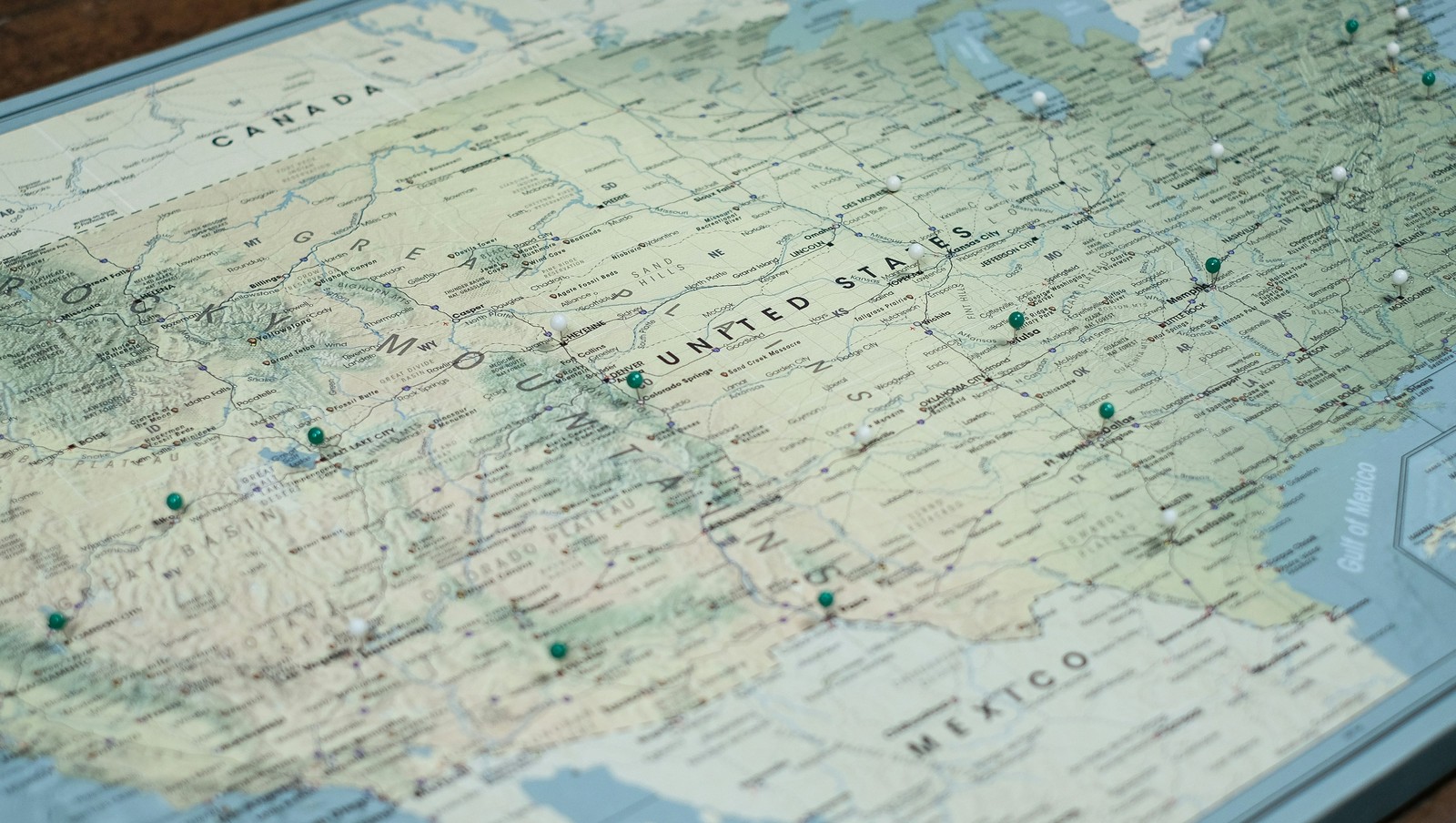
Image: Pin Adventure Map

Ever thought about how the borders in our country were defined ? States that almost became official, U.S. points that are only accessible through Canada's borders, territorial feuds over taxes, and more have constructed the limits of the country we know today. Here are 10 territorial quirks you probably never knew of.

1
Point Roberts, WA: The 49th parallel accident
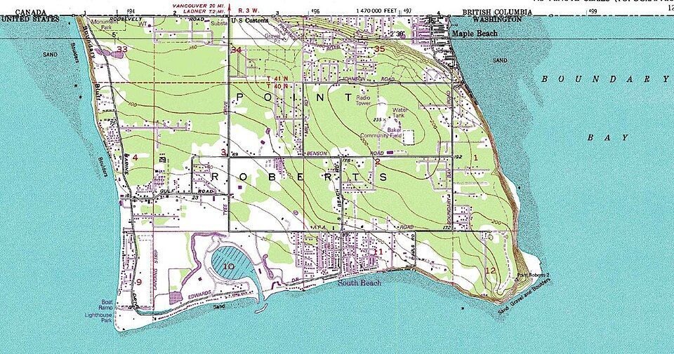
Image: United States Geological Survey, Public domain, via Wikimedia Commons

Imagine if you had to cross two borders just to get to the market for a gallon of milk. That’s actually a reality for residents of Point Roberts, Washington. That’s because, following the Anglo-American Convention of 1818, the 49th parallel divided Canada and the U.S. In 1846, the line was extended westward and then officially recognized by the International Boundary Commission in 1925.

However, a tiny tip of the Tsawwassen Peninsula poked out just below that line. Since then, the locals have lived in a boundary quirk. To get to the rest of Washington State by land, they must drive through Canada, show their passports, and do it all over again on the way back.

2
Statue of Liberty: Common misconception
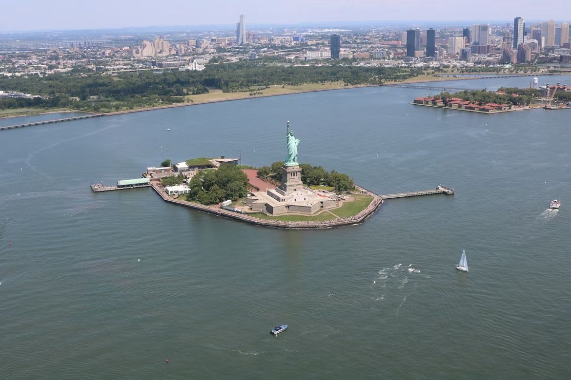
Image: Mohamed Osama

If you want to start a friendly argument at a dinner party, ask whether the Statue of Liberty lives in New York or New Jersey. The funny thing is, both answers are technically right . While the statue physically sits in the waters of the Garden State, Liberty Island is legally an exclave of New York. This dates back to a 1664 land grant by the Duke of York in a document so vague and confusing that it took a 1834 Compact between the two states to settle the deal. New Jersey gets the water and the submerged lands, but New York keeps the monument.

However, the Federal Government actually manages the site through the National Park Service (NPS), providing security and maintenance.

3
The State of Franklin: Failed 14th state
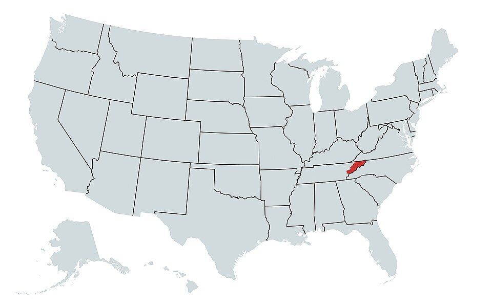
Image: Bennett1203, CC BY-SA 4.0, via Wikimedia Commons

If you think Tennessee was the 14th state to join the Union, there’s a catch. Before Tennessee, there was Franklin. In 1874, three counties in North Carolina felt neglected by their government and decided to strike out on their own . They even elected a governor, John Sevier, and printed their own money. They came just two votes short of being recognized by Congress as a formal state. Eventually, things got heated, and North Carolina sent troops, leading to a small civil war between the locals. By 1879, the dream of Franklin was dead and buried, and the territory became part of Tennessee.

4
Kentucky Bend
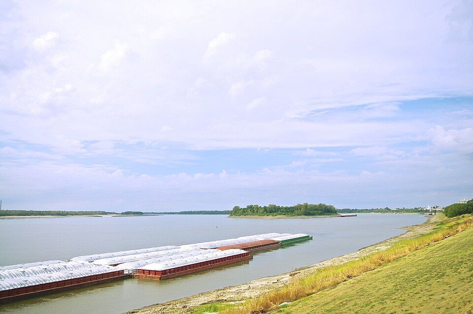
Image: Brian Stansberry, CC BY 4.0, via Wikimedia Commons

If you look closely at a map, there’s a piece of Kentucky that looks like it doesn’t belong. That’s the Kentucky Bend, also called the New Madrid Bend, a tiny peninsula in Fulton County that is almost completely separated from the rest of the Bluegrass State . The strange situation was the consequence of the massive series of earthquakes that took place in that area between 1811 and 1812, which were so violent they famously caused the Mississippi River to flow backwards for several hours. When the dust settled, the river had carved a new path that looped around this small patch of land, surrounded by Missouri and Tennessee instead of Kentucky. The 9 residents living there today go through Tennessee just to get to their home state.

5
The State of Deseret: The empire that almost was
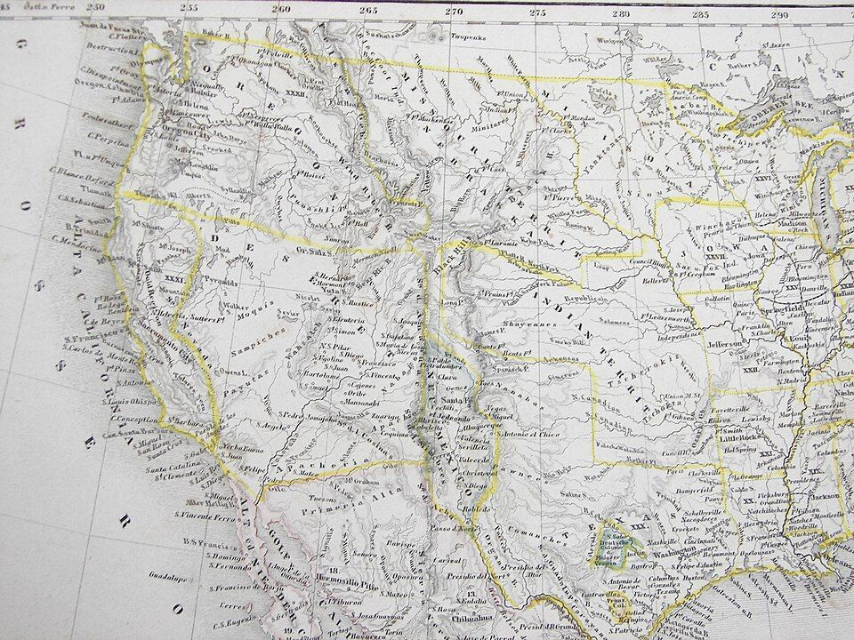
Image: Carl Radefeld (cartographer); Joseph Meyer (publisher), Public domain, via Wikimedia Commons

Imagine a state so big it makes Texas look tiny. That almost happened back in 1894, when Mormon pioneers proposed the State of Deseret. The territory comprised what we now know as Utah, most of Nevada, parts of Arizona and Colorado, and a massive chunk of the California coast, including San Diego.

Had it been formalized, it would have been a powerhouse with its own seaport and total control over the West. However, Washington, D.C. wasn’t so keen on one group having that much territory and power, so they whittled it down, and we ended up having the states we know today.

6
The lawless "No Man's Land"
Image: Steve Shook from Moscow, Idaho, USA, CC BY 2.0, via Wikimedia Commons

Have you ever wondered what happens when two governments simply give up on a piece of land? Between 1806 and 1821, there was a strip of land in what is now western Louisiana that was, literally, No Man’s Land. Neither the U.S. nor Spain, which owned part of the territory, could agree on the border, so they declared it "Neutral Ground" to avoid armed conflicts . The plan backfired as, with no laws to contain it, it quickly became a favorite for the outlaws in the West —meaning deserters and bandits hiding there were legally untouchable. The conflict was resolved by the 1819 Adams-Onis Treaty, which officially set the Sabine River as the legal boundary.

7
The Republic of the Indian Stream
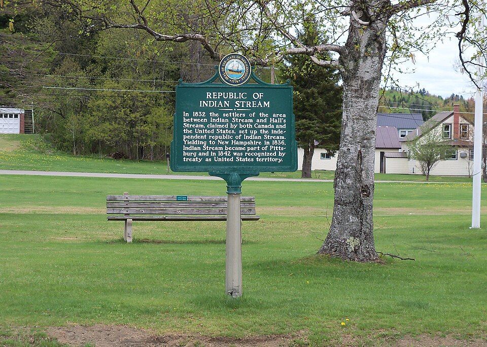
Image: Jon Platek, CC BY-SA 3.0, via Wikimedia Commons

In the early 1830s, people living in a small area between New Hampshire and Quebec were fed up, and in this case, taxes were the problem. Both Canada and the US were trying to collect taxes, and nobody likes being double-billed . In 1832, the residents essentially said "neither of them can tax us" and formed their own country called the Republic of the Indian Stream. They had their own constitution and Capitol for four years, until 1836, when the militia marched on the disputed territory to reclaim the land. It wasn’t until 1842, when the land dispute and the double-taxation was definitively resolved by the Webster–Ashburton Treaty, which assigned the land to New Hampshire.

8
The Northwest Angle: Mapping mistake of 1783
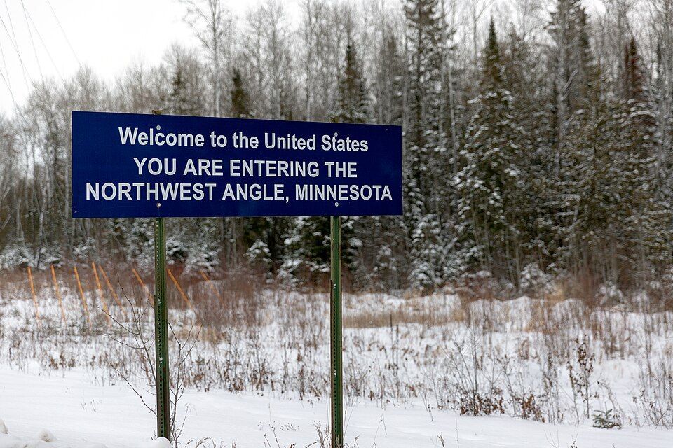
Image: Lorie Shaull, CC BY-SA 4.0, via Wikimedia Commons

When the Treaty of Paris was signed in 1783 to end the Revolutionary War, the mapmakers used a chart that was flat-out wrong. They thought the Mississippi River started much further north than it actually did. Because of that mistake, a piece of Minnesota got cut off from the rest of the country . To this day, the "Northwest Angle" is the only place in the lower 48 states north of the 49th parallel. Much like Point Roberts, you have to cross a massive lake or drive through Canada just to visit it.

9
The District of Columbia’s "lost" corner
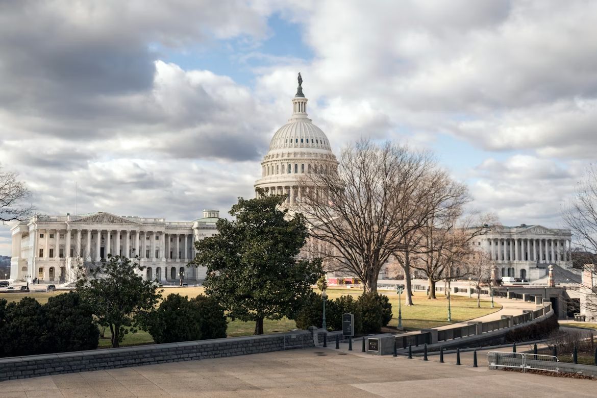
Image: Tim Mossholder

If you look at a map of D.C., you’ll notice it’s missing a chunk; it’s not a perfect square as it was originally intended. Originally, the capital was a perfect ten-mile square diamond , taking land from both Maryland and Virginia. But by 1846, things got tense. Residents in the Virginia portion, which included Alexandria and Arlington, were worried the federal government would abolish slavery in the District, which was the backbone of their economy. They successfully petitioned to have Virginia "take back" that portion of the land and subsequently changed the shape of the national capital forever.

10
UN Headquarters: International territory
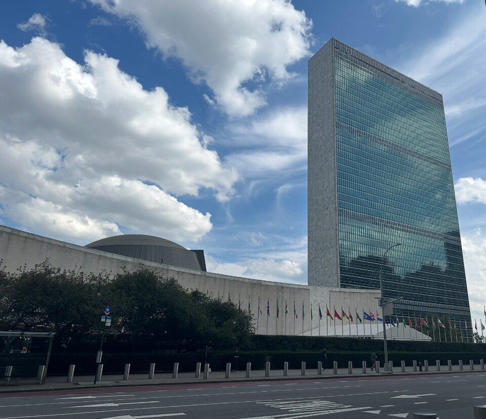
Image: LPulecio-WMF, CC BY 4.0, via Wikimedia Commons

If you want to feel international, go to the United Nations Headquarters on the East River in midtown Manhattan, New York. Once you cross that gate onto the 18-acre site, you are technically leaving the United States. You don’t need to show your passport, but that’s international territory, which means it has its own laws , its own security force, and even its own postal service. It is a legal hole in the middle of New York City.


General General 4 min read

The secrets of the greenback

Dollar bills are green for this reason

Image: Pepi Stojanovski

The U.S. dollar is one of the most powerful and recognizable currencies in the world, but its physical form is unique for many other reasons . From its composition to its symbols, dollar bills and coins are carefully designed to combine history, security, and convenience. Let’s explore our national currency!

1
What are bills made of?

Image: Viacheslav Bublyk

Unlike other currencies, dollar bills are not made of paper or plastic. U.S. dollar bills are made from a special fabric blend composed of 75% cotton and 25% linen. This mix makes the bills extremely durable and resistant, and they can be folded about 4000 times before tearing.

2
What bills are valid?

Image: U. S. Government, The Bureau of Engraving and Printing, Public domain, via Wikimedia Commons

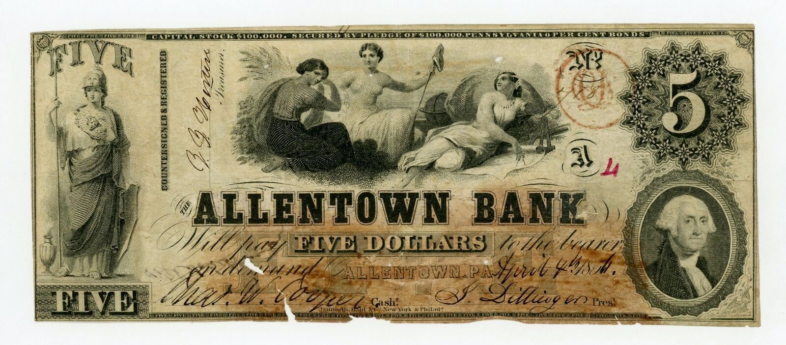
Any U.S. dollar bill that was legally printed is valid, no matter how old, as American currency does not have an expiration date. While some bills might not be accepted by businesses of foreign exchange services due to their condition or if they are a discontinued version of the bill, the bills themselves are still valid, and American banks will accept them, though they might take them out of circulation.

3
American leaders

Image: Lukasz Radziejewski

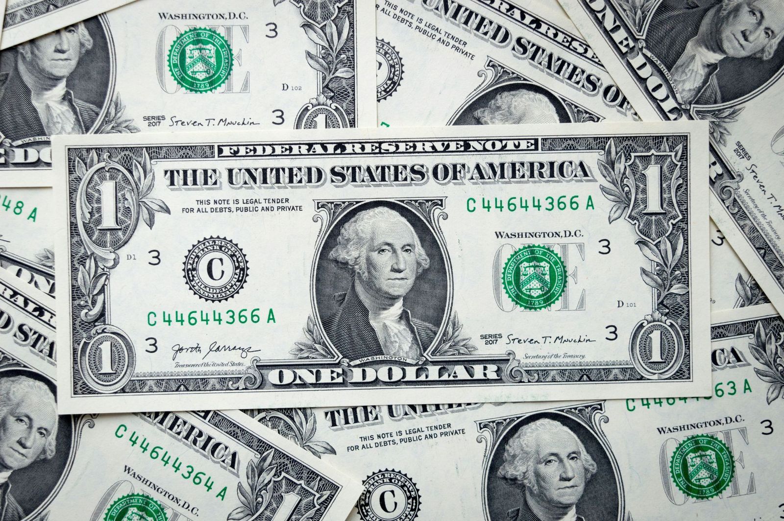
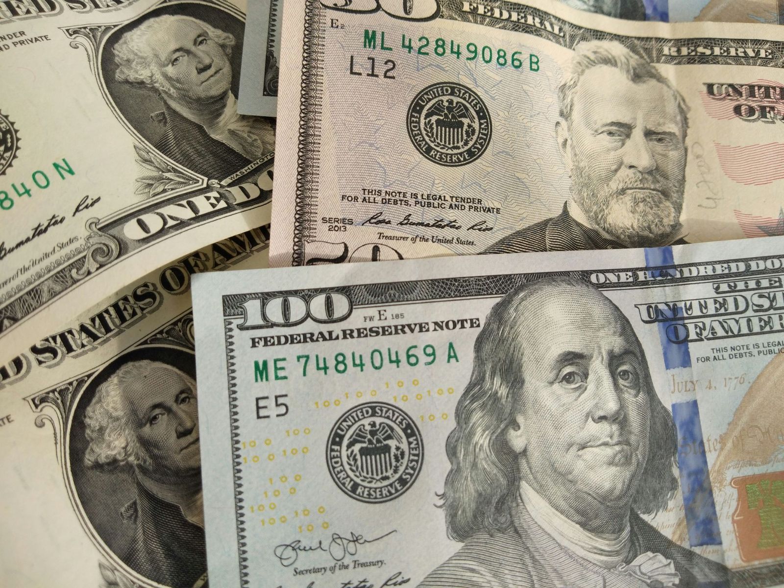
Five bills have a depiction of an American president. The exceptions are the $10 bill, with Alexander Hamilton on the front, and the $100 bill, with Benjamin Franklin. The $1 bill, depicting George Washington, is extremely symbolic: several elements are repeated 13 times as a nod to the thirteen colonies, and it showcases the Bald Eagle and the Eye of Providence as a sign of God watching over America.

4
A change in size

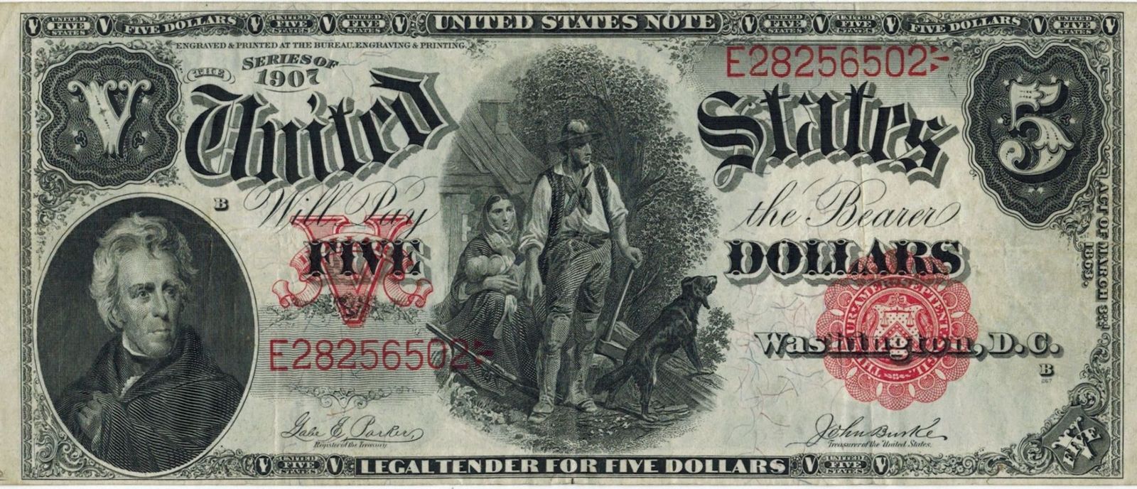
Did you know that dollar bills used to be so big that they were nicknamed "horse blankets"? Original dollar bills were 7.4 × 3.1 inches. In 1929, the Treasury Department reduced the size of bills to 6.14 × 2.61 inches to reduce production costs and materials. Old bills, though still valid, are worth much more as collector items.

5
Uniformity

Image: Avinash Kumar

Besides their value and design, all dollar bills have the same size (6.14 × 2.61 inches), color, and weight (1 gram) , which sets American currency apart from other countries where bills of different values are differentiated by size, color, or both. Why doesn’t the U.S. implement differences among bills? The cost of adapting vending machines, bank drawers, and ATMs to new bill sizes would cost billions of dollars.

6
Hard to copy

Image: United States Treasury Department, Public domain, via Wikimedia Commons

Originally, dollars were not green, but black. As time passed, green ink was favored, as it was cheap and did not fade as much as black. The new color also prevented people from using black-and-white cameras to create counterfeit money. Currently, dollar bills are predominantly green, but newer versions also include extra colors, such as pink, orange, or purple.

7
A $100,000 bill?

Image: The original uploader was Durova at English Wikipedia., Public domain, via Wikimedia Commons

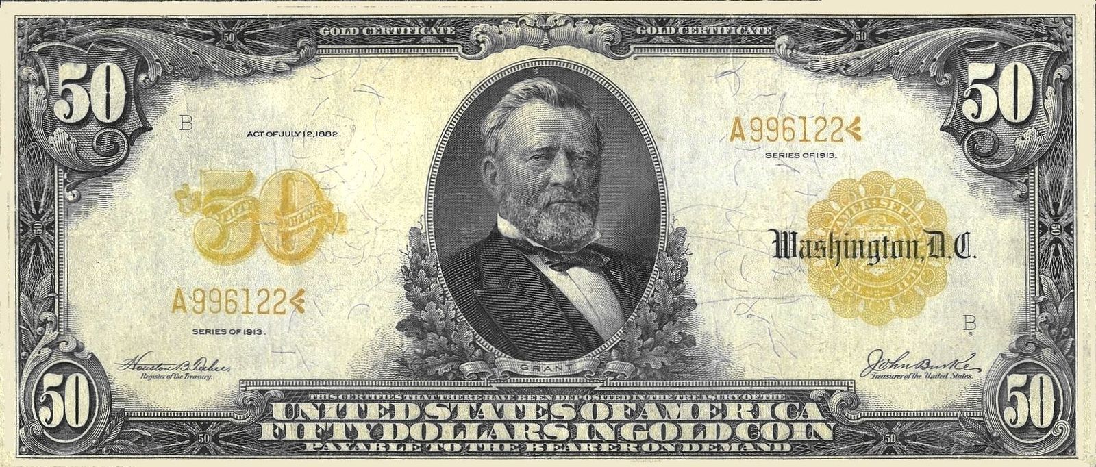
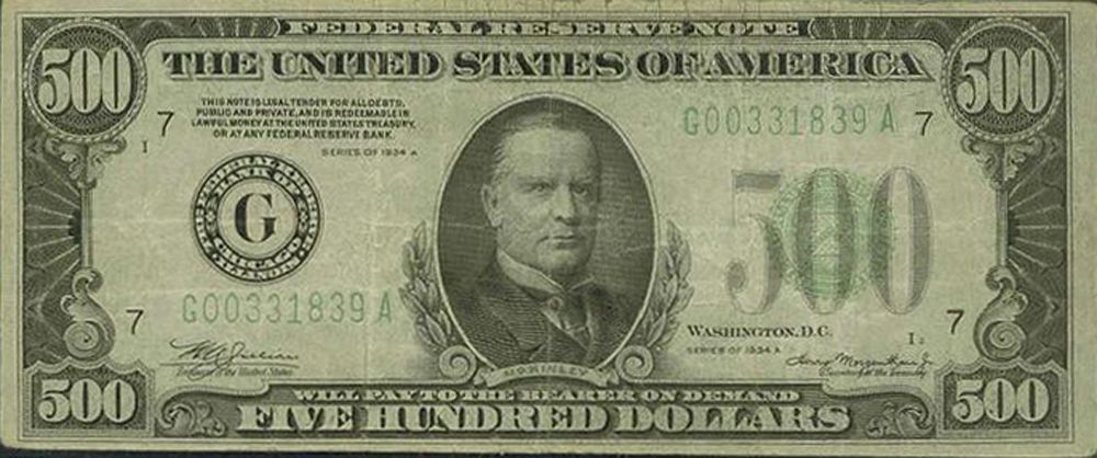
Have you ever seen a $500 or 1,000 dollar bill? What about a $100,000? Up until 1945, the U.S. Treasury printed $500, $1,000, $5,000, $10,000, and $100,000 notes , in addition to the values currently in use. These higher-value notes were mainly intended for bank and government use, but were sought by criminals as they made it easier to hide large amounts of money. Even though they were officially discontinued in 1969, these notes are still valid, though rare, and they have a high worth as collector's items.

8
No numbers

Image: Quilia

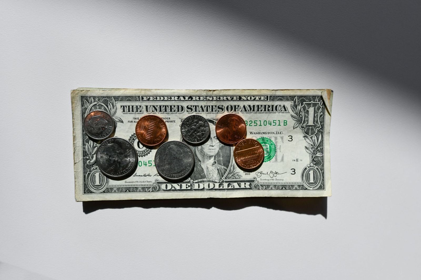
Unlike bills, American coins have different sizes and colors related to their value. Originally, gold, silver, and copper were used for coins, but modern coins are made of copper, zinc, or nickel. Besides their size and design, the value of each coin is printed in letters, not in numbers , alongside depictions of American presidents.

9
Liberty for all (the coins)

Image: Money Knack

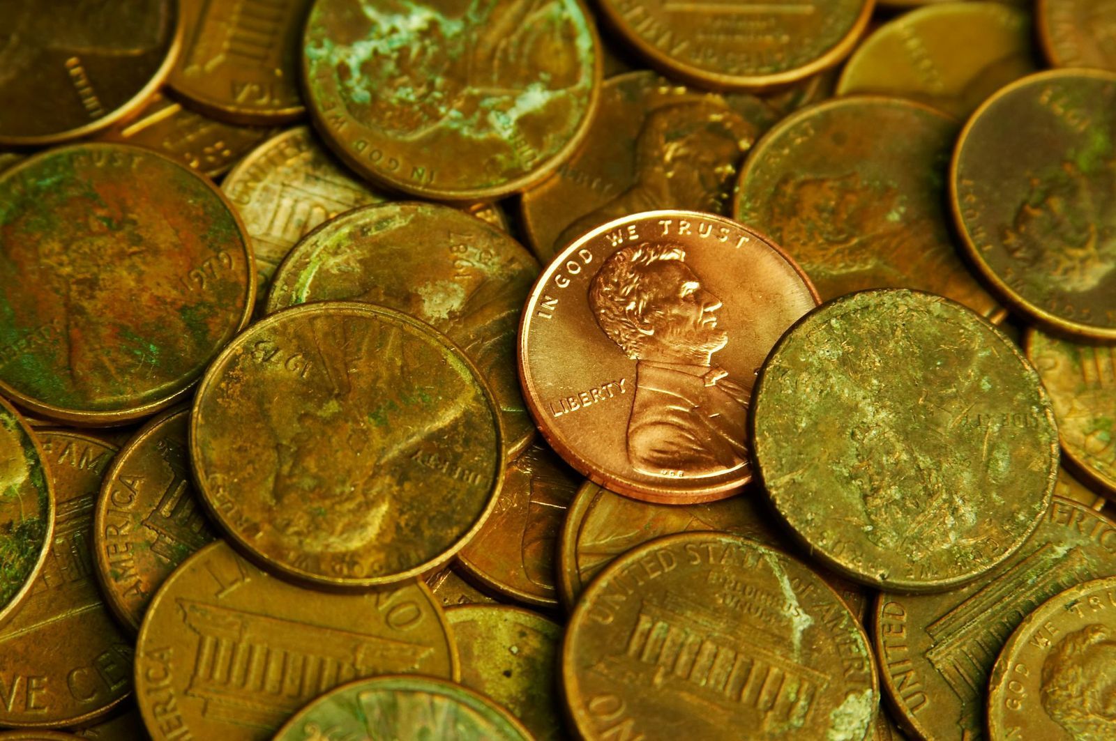
By law, all American coins must include six specific details : the word ‘Liberty’, the name of our country, the national motto "In God We Trust", the oldest American motto "E Pluribus Unum", the value of the coin, and the year. Each coin also includes a mint mark that shows where it was made: "P" for Philadelphia, "D" for Denver, "S" for San Francisco, and "W" for West Point.

10
A global currency

Image: Logan Voss

The American dollar is one of the most powerful currencies in the world, acting as a backbone for international trade and finances. It is estimated that two-thirds of the physical dollars in circulation are outside American territory. Besides the U.S. and its territories, eight sovereign nations have the U.S. dollar as their official currency, with several more accepting it as legal tender.

Geography Geography 5 min read

Stories carved by the Colorado River

The missing pieces of the Grand Canyon: 10 incredible facts

Image: jesus esteban

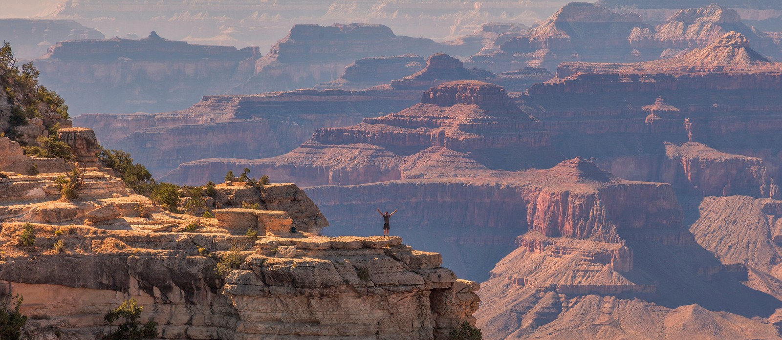
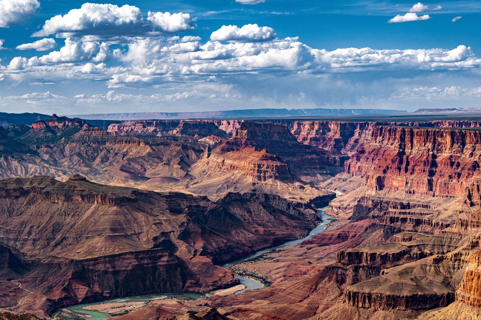
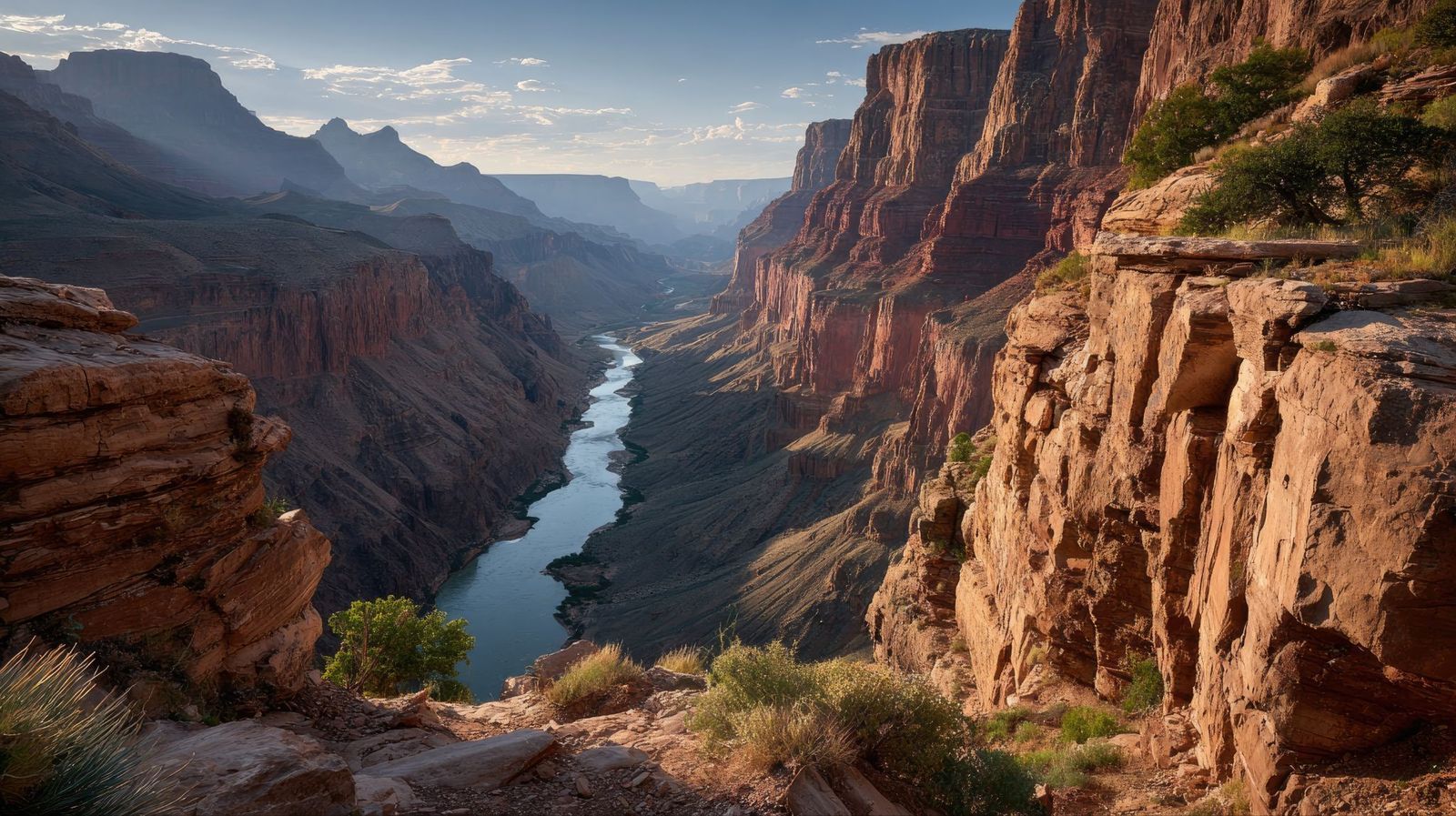
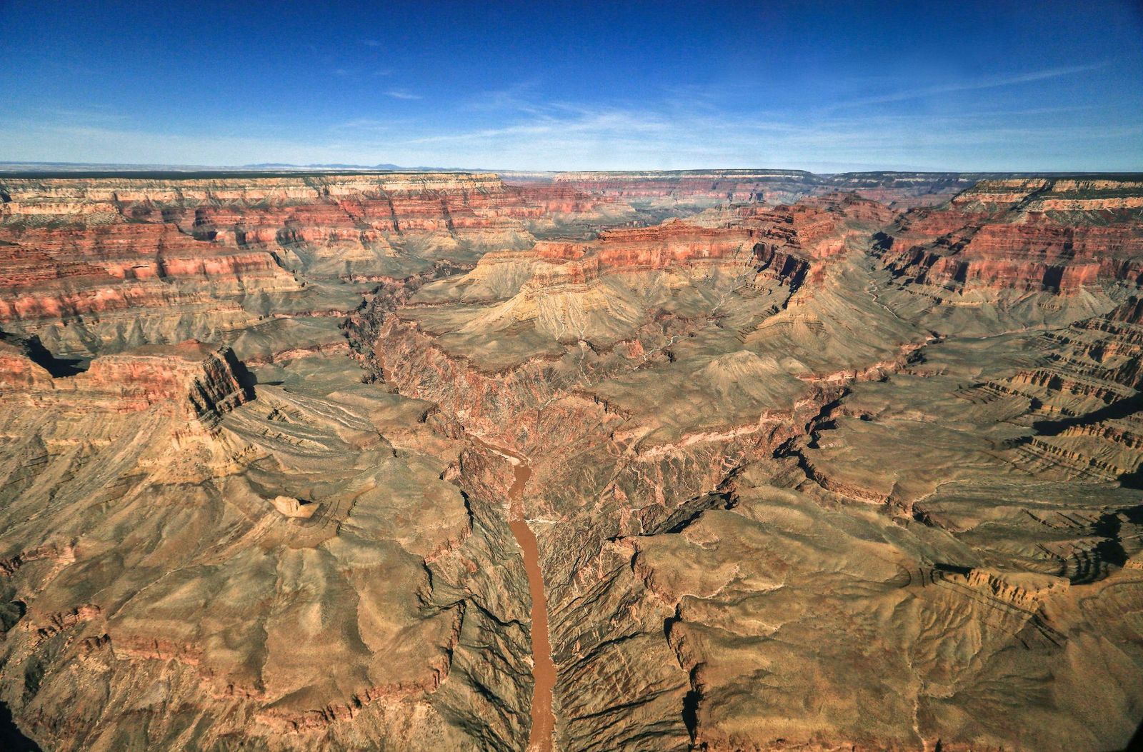
The Grand Canyon is bigger than Rhode Island. It's deeper than four Empire State Buildings stacked end to end. Its rocks are older than dinosaurs. But those stats alone don’t quite capture its immensity — and are hardly the most shocking. There are nuclear shelters, hidden villages, and billion-year mysteries involved. Read on to learn 10 lesser-known facts about the Grand Canyon.

1
There's an unexplained billion-year gap

Image: John Graybosch

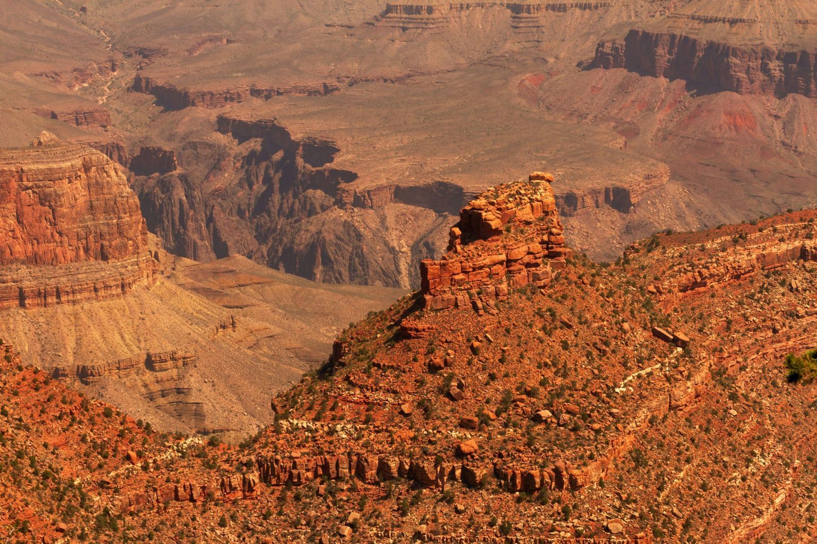
Look closely at the canyon walls, and you'll notice something strange: a clean, sharp line where ancient rock simply stops, and a much younger layer begins directly above it.

This geological puzzle is called the "Great Unconformity," and it represents over a billion years of rock layers that are simply absent , as though that stretch of time never happened. In some spots, rock dated 1.8 billion years old sits directly beneath rock that is only 520 million years old. Where did the missing billion years go?

The leading theory involves the violent breakup of an ancient supercontinent, but scientists are still piecing it together.

2
During the Cold War, it hid a nuclear fallout shelter

Image: Lauri Väin from Tallinn, Estonia, CC BY 2.0, via Wikimedia Commons

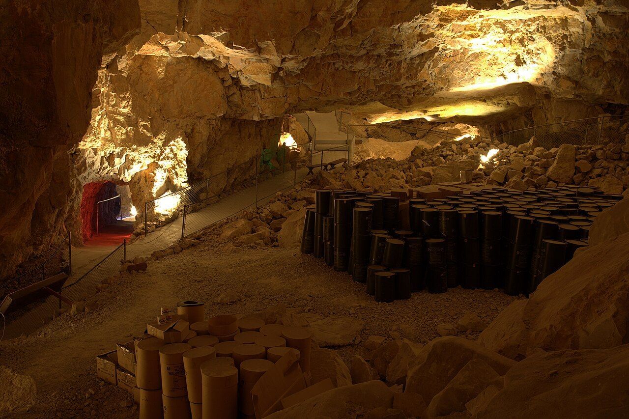
During the Cuban Missile Crisis in 1962, the U.S. government converted part of the Grand Canyon Caverns into a fallout shelter. This dry cave system, more than 200 feet underground, was stocked with enough food and water to sustain 2,000 people. Naturally, it was never occupied, and the supplies were never used.

The caverns have since been transformed into a tourist attraction, with organized tours winding through the same underground chambers that were once intended as a refuge from nuclear war. You can even book a night's stay there.

3
The Federal Aviation Administration was founded after a crash over the canyon

Image: Alexandre Henry Alves

In 1956, two commercial passenger planes collided in midair over the eastern Grand Canyon, killing all 128 people on board both crafts. Rescue teams struggled to reach the wreckage deep inside the canyon, and the extreme heat of the crash had caused the planes' aluminum to fuse with the bedrock. There were no survivors.

The disaster exposed a terrifying truth: the U.S. air traffic control system was dangerously outdated, relying on pilots' visual estimates and rough guesswork from controllers , with no way to separate fast-moving aircraft from slow ones, or instrument-flying planes from those navigating by sight. Congress responded by passing legislation that created both the Federal Aviation Administration (FAA) and the National Transportation Safety Board.

4
A hoax suggested that an Egyptian civilization had lived there

Image: abdurrohman dzar

In 1909, the Arizona Gazette reported that an explorer named G. E. Kinkaid had discovered a vast underground citadel inside the canyon, filled with artifacts linked to ancient Egyptian civilization. He even claimed the expedition had been funded by the Smithsonian.

This story described hieroglyphics on the walls, mummies in the chambers, and relics pointing to a direct connection with the Egypt of the pharaohs. It was incredibly detailed, and it was, of course, a hoax. No evidence for any of Kinkaid's claims ever surfaced.

5
Fewer than 100 people have ever hiked its full length

Image: Abhishek Navlakha

Among the few people who have completed the through-hike of the Grand Canyon is Jen Hogan, the first woman to accomplish it, finishing her journey in 2021–2022.

It’s a full 800-mile length below the rim. The route involves extreme heat, flash floods, near-impassable areas, and stretches with no water or trail whatsoever. Around 60 or 70 people have reportedly accomplished it. This makes it one of the most exclusive feats on Earth.

6
The Grand Canyon's rocks predate dinosaurs entirely

Image: MARIOLA GROBELSKA

Visitors scanning the canyon walls for fossils are often surprised to learn they won't find any dinosaur bones here. The rock layers of the Grand Canyon are simply older than dinosaurs. This fact alone can be shocking: staring at its walls means staring at marine fossils from as far back as 1.2 billion years ago. Some of its caves hold the remains of ancient mammals. The canyon is a window into a world that existed long before the dinosaurs, when the land that is now Arizona lay beneath a shallow sea.

7
The park is bigger than Rhode Island

Image: AussieActive

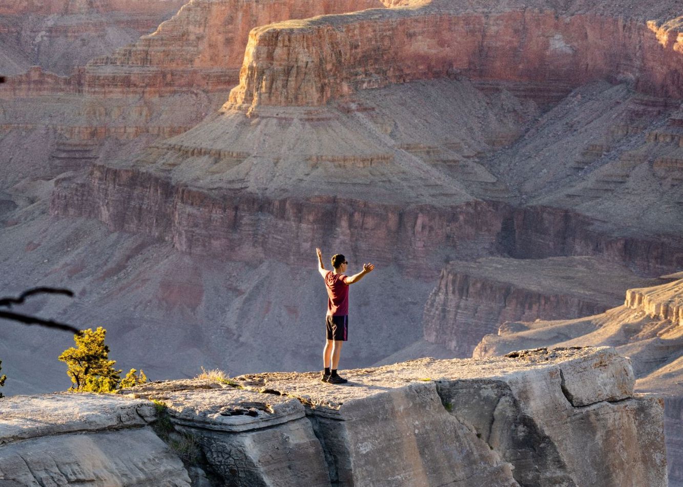
Numbers alone rarely capture the Grand Canyon's scale, so here's a different approach. Rhode Island covers about 1,214 square miles, and the Grand Canyon National Park spans 1,904 square miles.

The canyon's depth exceeds four Empire State Buildings (which is 1,454 feet) stacked on top of one another. That’s 6,093 feet at its deepest point.

8
But it's not the deepest canyon on Earth

Image: Naeemphotographer2

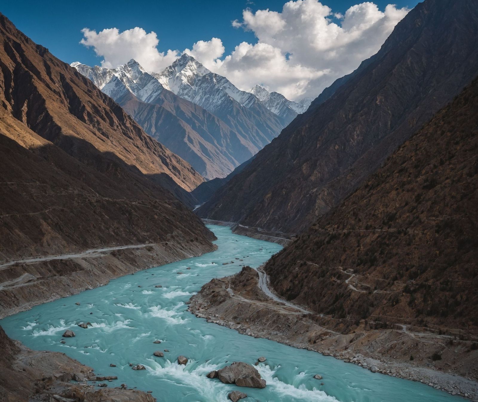
For all its grandeur, the Grand Canyon does not hold the depth record. Pictured above, the Yarlung Tsangpo Grand Canyon in Tibet, China, plunges to 17,567 feet, which is nearly three times deeper. Carved by the Yarlung Tsangpo River as it cuts through the eastern Himalayas, that canyon is so remote and extreme that it remained largely uncharted until the late 20th century.

9
It is home to a pink rattlesnake found nowhere else on Earth

Image: Alexander Wong

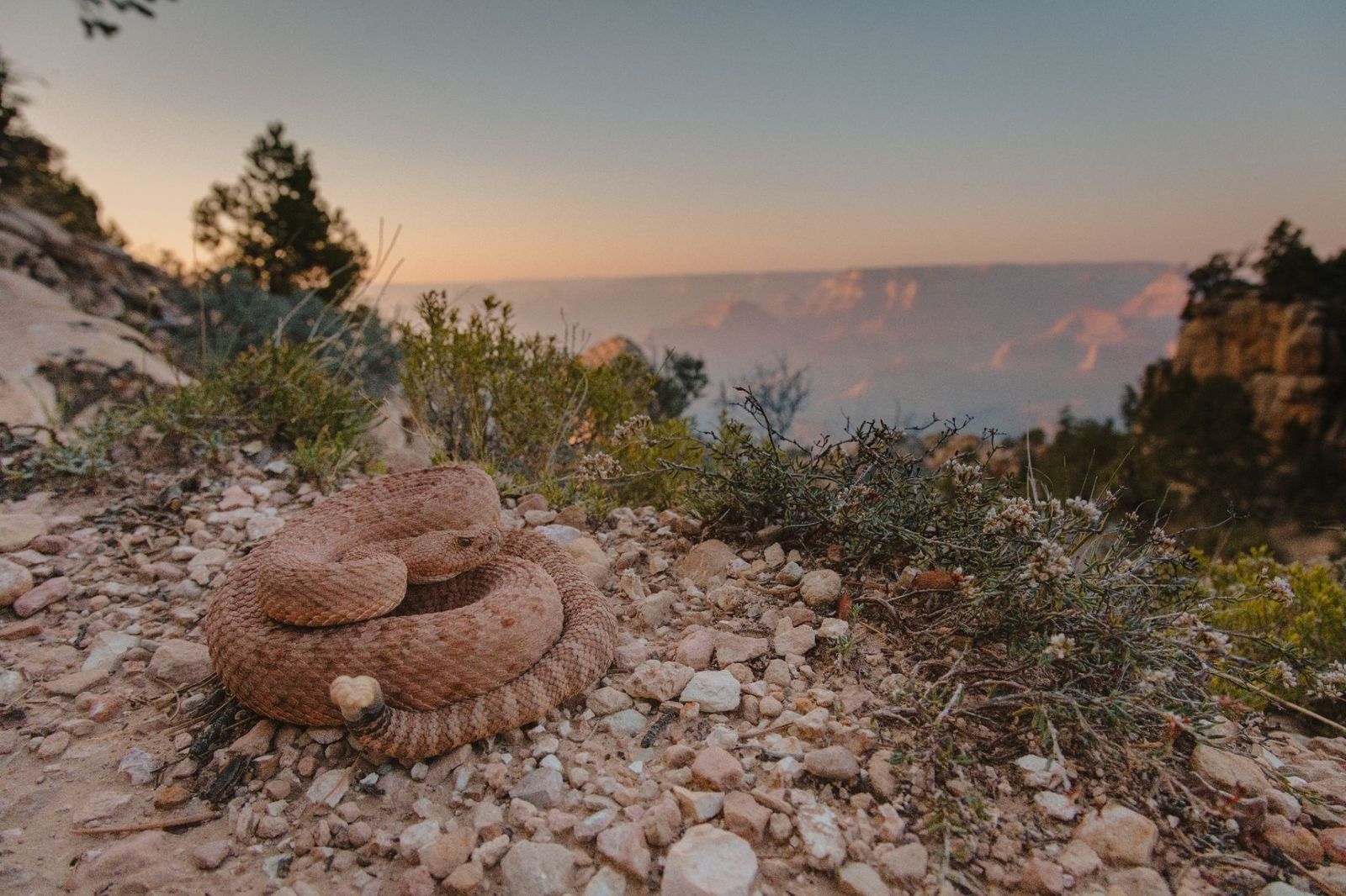
The Grand Canyon Pink Rattlesnake has a pinkish-red coloring that matches the canyon's own distinctive rock walls so closely that it's nearly invisible. It is found nowhere else in the world. Officially classified as Crotalus oreganus abyssus , it has darker diamond-shaped markings along its back that deepen the camouflage further.

10
There's a village at the bottom: Supai Village

Image: joojoob27

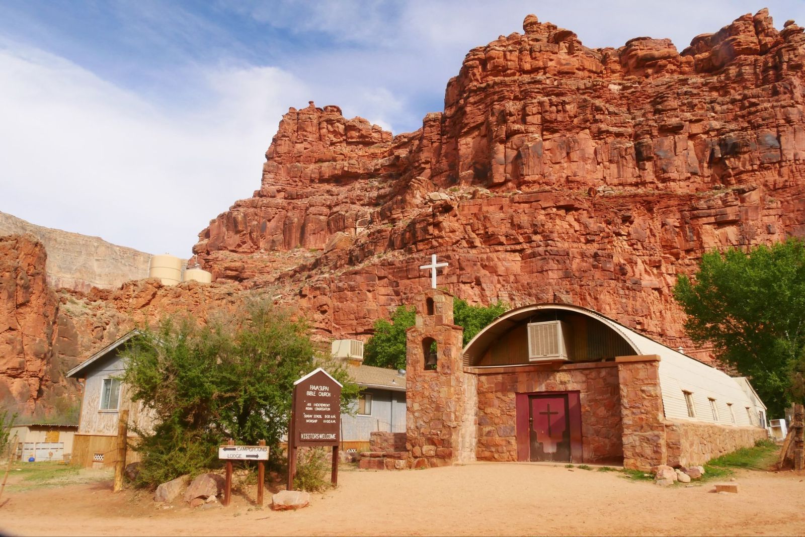
For over 1,000 years, the remote village of Supai has been home to the Havasupai Tribe, the People of the Blue-Green Waters. It is located an eight-mile hike from the rim, but sits roughly 3,000 feet deep inside the Grand Canyon.

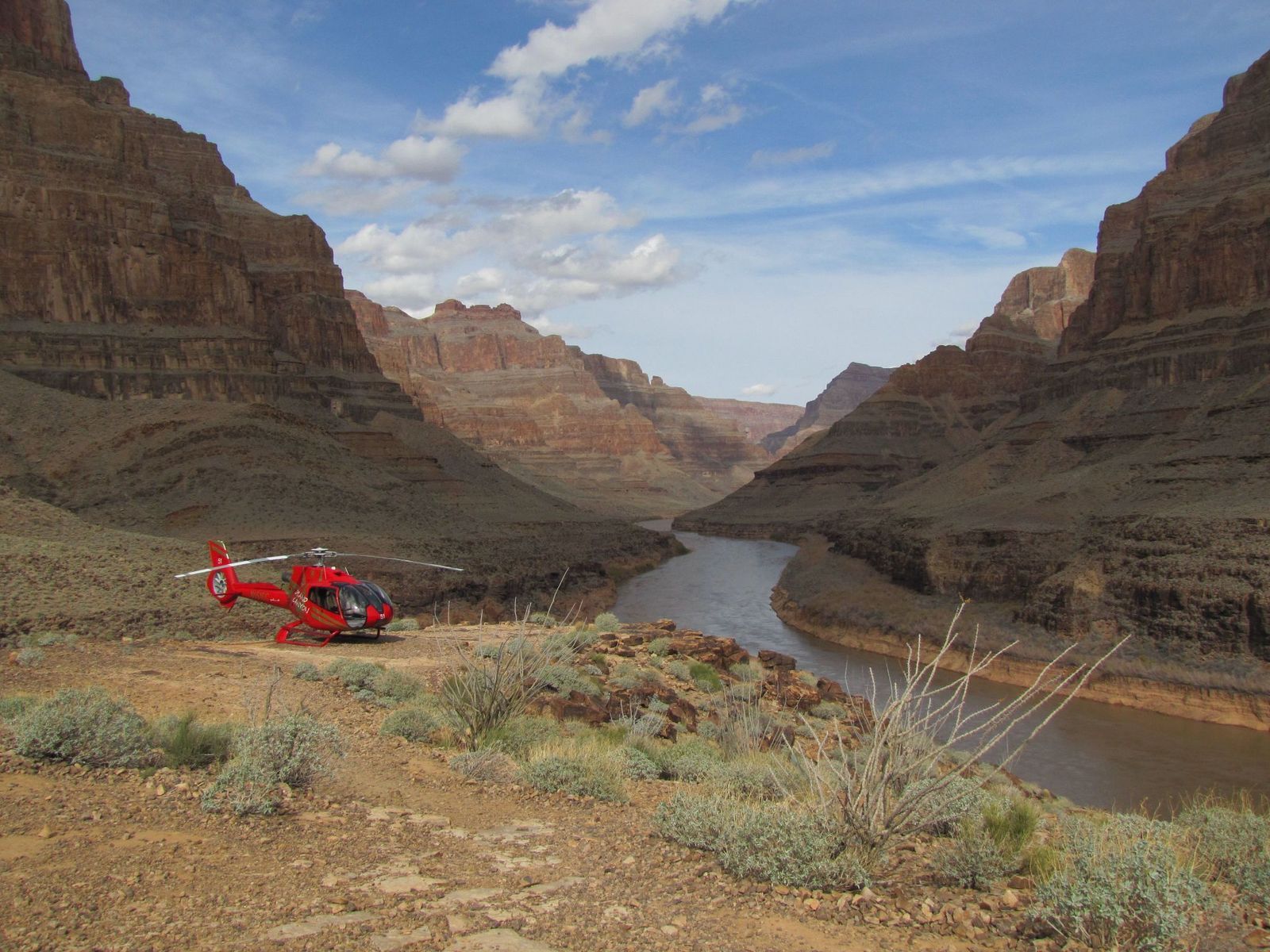
The U.S. Department of Agriculture has called it the most remote community in the contiguous United States, and it has no automobiles and no road access. The only ways in are on foot, by mule, or by helicopter. It is also the only place in the United States where the postal service still delivers mail by mule train.

Explore more American facts

Choose your favorite category!

General
General

As American as apple pie—the very best America has to offer!

Culture
Culture

Delve into the astounding richness of American lore.

Geography
Geography

Hop in and explore vast and diverse American landscapes.

History
History

Discover the key moments that shaped the United States.